Elevation of Tinker Ridge Road, Tinker Ridge Rd, Plymouth, NY, USA
Location: United States > New York > Chenango County > Plymouth > South Plymouth >
Longitude: -75.580589
Latitude: 42.6200045
Elevation: 545m / 1788feet
Barometric Pressure: 95KPa
Elevation Map:
Satellite Map:
Related Photos:

Opera House

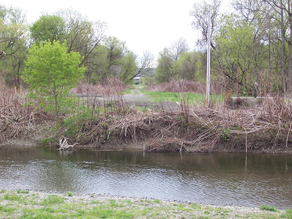
Canasawacta Creek

rear elevation

Marsh Wren

Marsh Wren

D. L. & W. RR Bridge, Norwich, NY

Marsh Wren

View from Farm Tower

View from Farm Tower

Lake Steere at night

In the Chenango Valley

The Chenango River

Lake Steere at night

Farm Tower Trail

Lake Steere at night
NY Ontario & Western ROW, Norwich, NY

Under The Bridge At Upperville Falls

Upper And Lower Views Of Upperville Falls

Dilly Hill

Power Lines

Ponds at Adams Farm Parcel

Muddy Farm Field
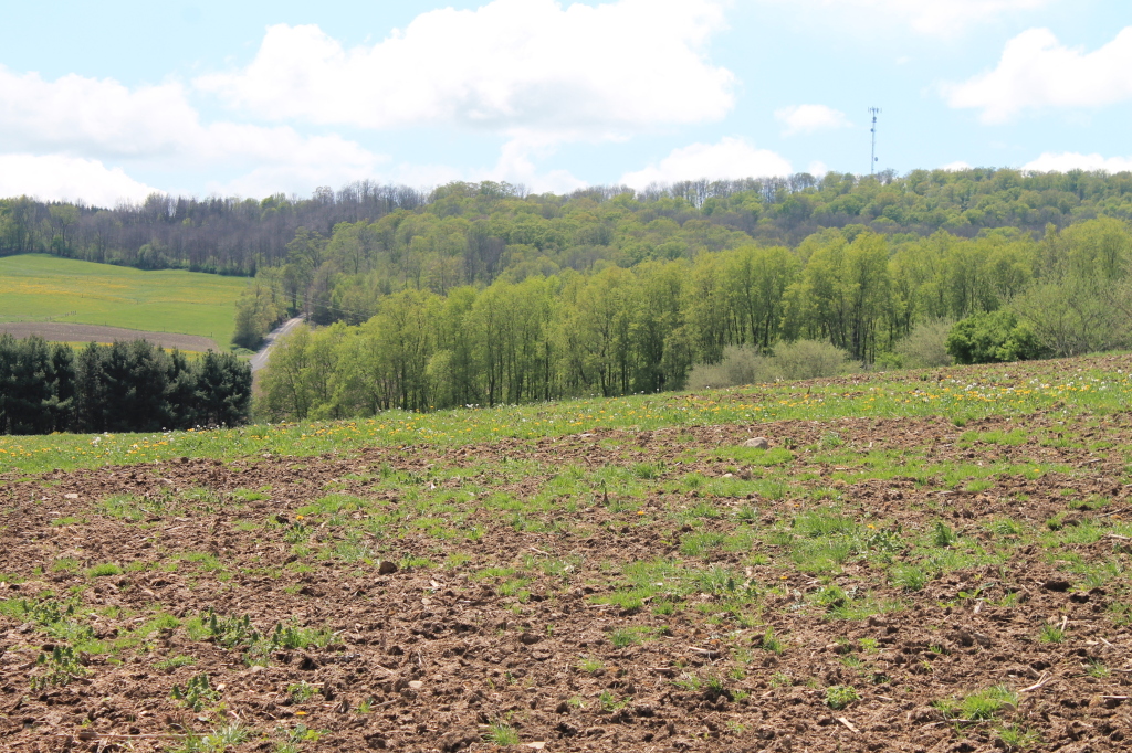
Farm Field

Walking Through the Woods

Drainage Ditch Along Farm Field

Canasawacta Creek

Lean-Tos Along Ponds

Chenango River Flooding Farm Field

Looking Back Across the Field

Agricultural Canal
Topographic Map of Tinker Ridge Road, Tinker Ridge Rd, Plymouth, NY, USA
Find elevation by address:

Places near Tinker Ridge Road, Tinker Ridge Rd, Plymouth, NY, USA:
162 Jones Peck Rd
County Road 44
South Plymouth
126 Old Country Club Rd
County Rd 20, Smyrna, NY, USA
NY-80, Smyrna, NY, USA
Whaupaunaucau Rd, Norwich, NY, USA
Smyrna
165 Hale Rd
491 Blanding Rd
536 Blanding Rd
1 Ny-12
1 Ny-12
Sherburne
31 N Main St
35 N Main St
937 Williams Rd
16 School St
13 School St
Sherburne
Recent Searches:
- Elevation of Corso Fratelli Cairoli, 35, Macerata MC, Italy
- Elevation of Tallevast Rd, Sarasota, FL, USA
- Elevation of 4th St E, Sonoma, CA, USA
- Elevation of Black Hollow Rd, Pennsdale, PA, USA
- Elevation of Oakland Ave, Williamsport, PA, USA
- Elevation of Pedrógão Grande, Portugal
- Elevation of Klee Dr, Martinsburg, WV, USA
- Elevation of Via Roma, Pieranica CR, Italy
- Elevation of Tavkvetili Mountain, Georgia
- Elevation of Hartfords Bluff Cir, Mt Pleasant, SC, USA