Elevation of Timur-Barat Highway, 4, Jeli, Kelantan, Malaysia
Location: Malaysia > Kelantan > Belimbang >
Longitude: 101.700669
Latitude: 5.6636729
Elevation: 309m / 1014feet
Barometric Pressure: 98KPa
Elevation Map:
Satellite Map:
Related Photos:
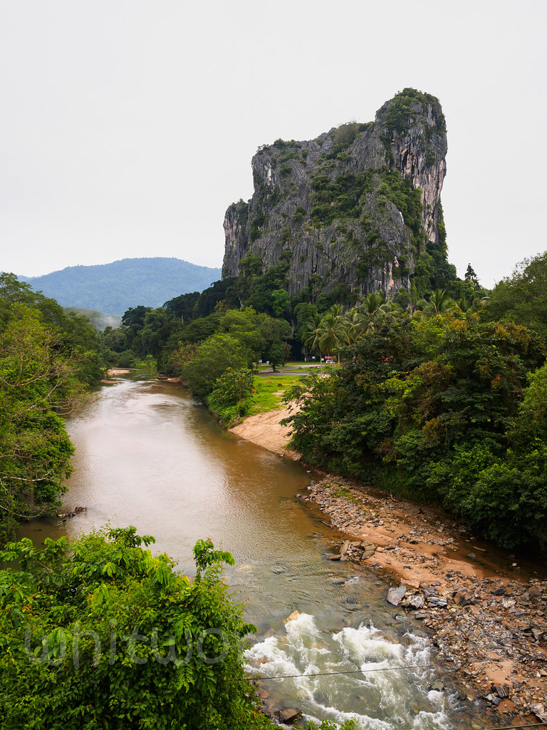
Gunung Reng
Butterworth to Kota Bharu

Nebel in Kelantan

and am at the top of this mount

Mount reng
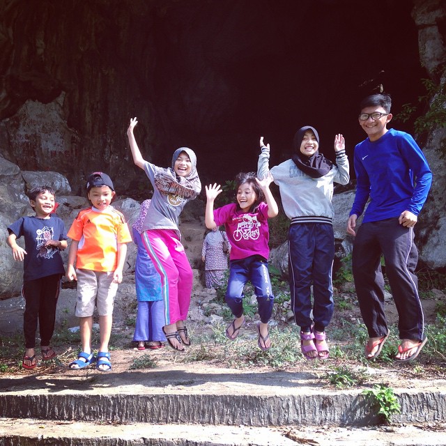
| y e a y ! | #wanfadhal #dailyphotos
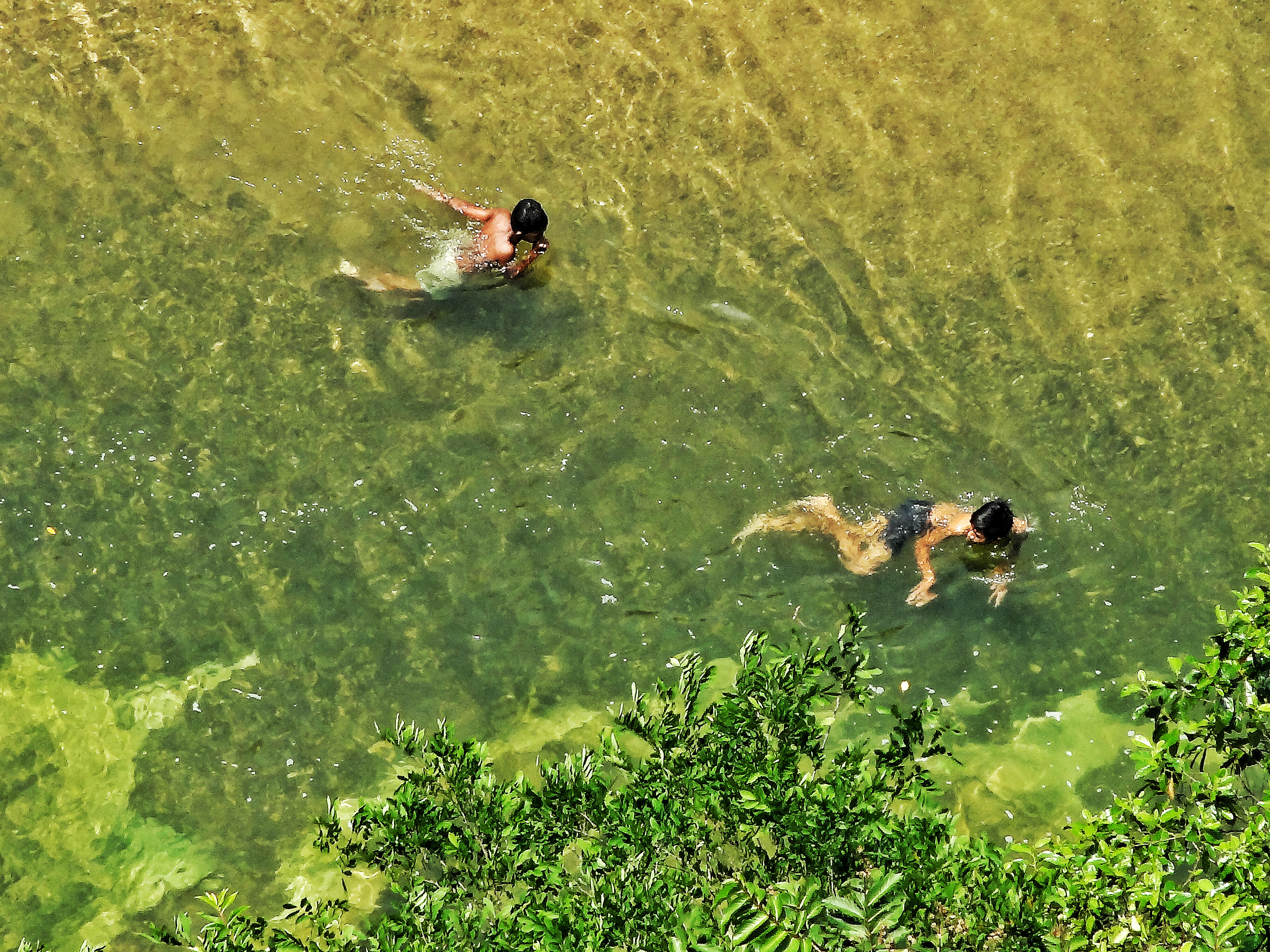
Local Boy Swimming in Clear River
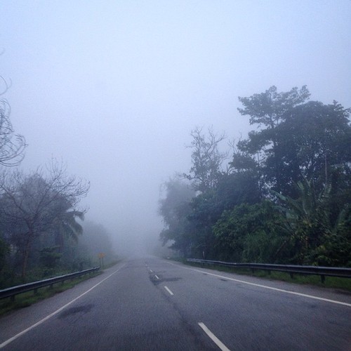
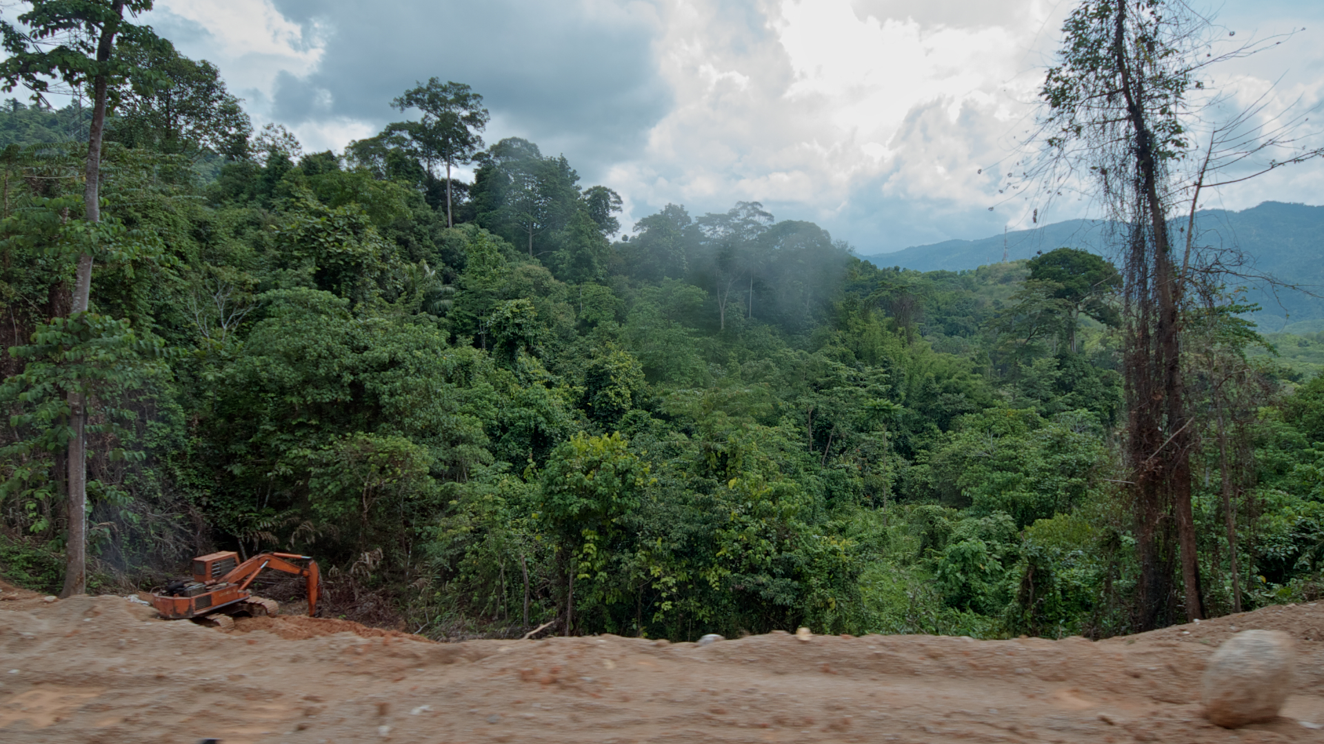
Misty morning Same journey Different approach Refreshing #journeydja #travel #discover #explore #road #journey #morning #perspective
Batu Melintang, Jeli
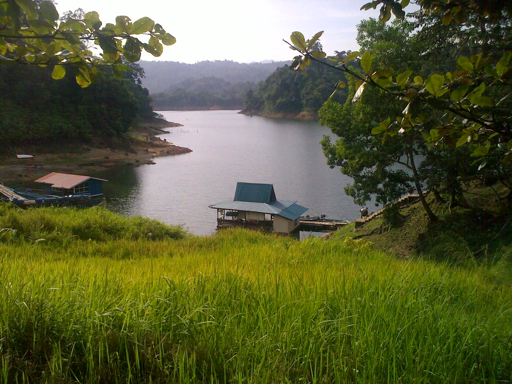
Tasik Pergau
Topographic Map of Timur-Barat Highway, 4, Jeli, Kelantan, Malaysia
Find elevation by address:

Places near Timur-Barat Highway, 4, Jeli, Kelantan, Malaysia:
Timur-barat Highway
Belimbang
Gunung Reng
Lata Janggut
Waterfalls Lata Janggut
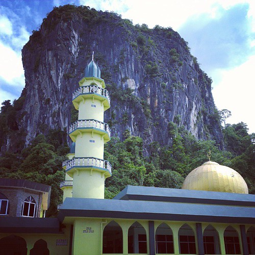
Masjid Kampung Kalai
Pusat Internet Kg Kalai, Jeli
Timur-barat Highway
Jeli
Kampung Berdang
Tanah Merah
Titiwangsa Mountains
Masjid Alihsaan Mukim Bukit Panau
Machang
Machang
Pasir Mas
Tm Bukit Bakar
Sekolah Kebangsaan Salor
Masjid Kampung Laut
Kota Bharu
Recent Searches:
- Elevation of Corso Fratelli Cairoli, 35, Macerata MC, Italy
- Elevation of Tallevast Rd, Sarasota, FL, USA
- Elevation of 4th St E, Sonoma, CA, USA
- Elevation of Black Hollow Rd, Pennsdale, PA, USA
- Elevation of Oakland Ave, Williamsport, PA, USA
- Elevation of Pedrógão Grande, Portugal
- Elevation of Klee Dr, Martinsburg, WV, USA
- Elevation of Via Roma, Pieranica CR, Italy
- Elevation of Tavkvetili Mountain, Georgia
- Elevation of Hartfords Bluff Cir, Mt Pleasant, SC, USA