Elevation of Timmy Trail, Clyde, NC, USA
Location: United States > North Carolina > Haywood County > Clyde > Clyde >
Longitude: -82.904558
Latitude: 35.5507888
Elevation: 889m / 2917feet
Barometric Pressure: 91KPa
Elevation Map:
Satellite Map:
Related Photos:

Leaving Canton

Up and Down

An EXTRAORDINARY View!

Lake Junaluska, NC

A Heavy Duty Truck Bed Cover On A Ford F- Series

Bedroom in the Sunrise Cottage

Sunrise & Tollgate Cottages

A Heavy Duty Truck Bed Cover On A Ford F- Series
In Memory Of John ("Jack") Easton / 1923–2010

Francis Mill (Inside View)

Aerial view of Champion Paper Mill, circa 1950 — dimensions: ~ 3 x 4 ft

Messer Rd.

Chambers Mountain
Early Morning
2018 10-18 1240-6 BLU SD40-2-4201 E/B T-31, Canton, NC

2018 10-18 1233-3 BLU SD40-2-4201 E/B T-31, Canton, NC

Bench Monday: Junaluska Edition

View from one of the Pisgah View Ranch trails

Pisgah View Ranch House

Local geese enjoying a swim

Pisgah View Ranch Wedding in April 2007

Appalachian Fall
from here to there

Take the high road....

T-31 at High Bridge

The Final Moments of Fall

The rumble in the distance

Rain in the Valley

Clouded Reality
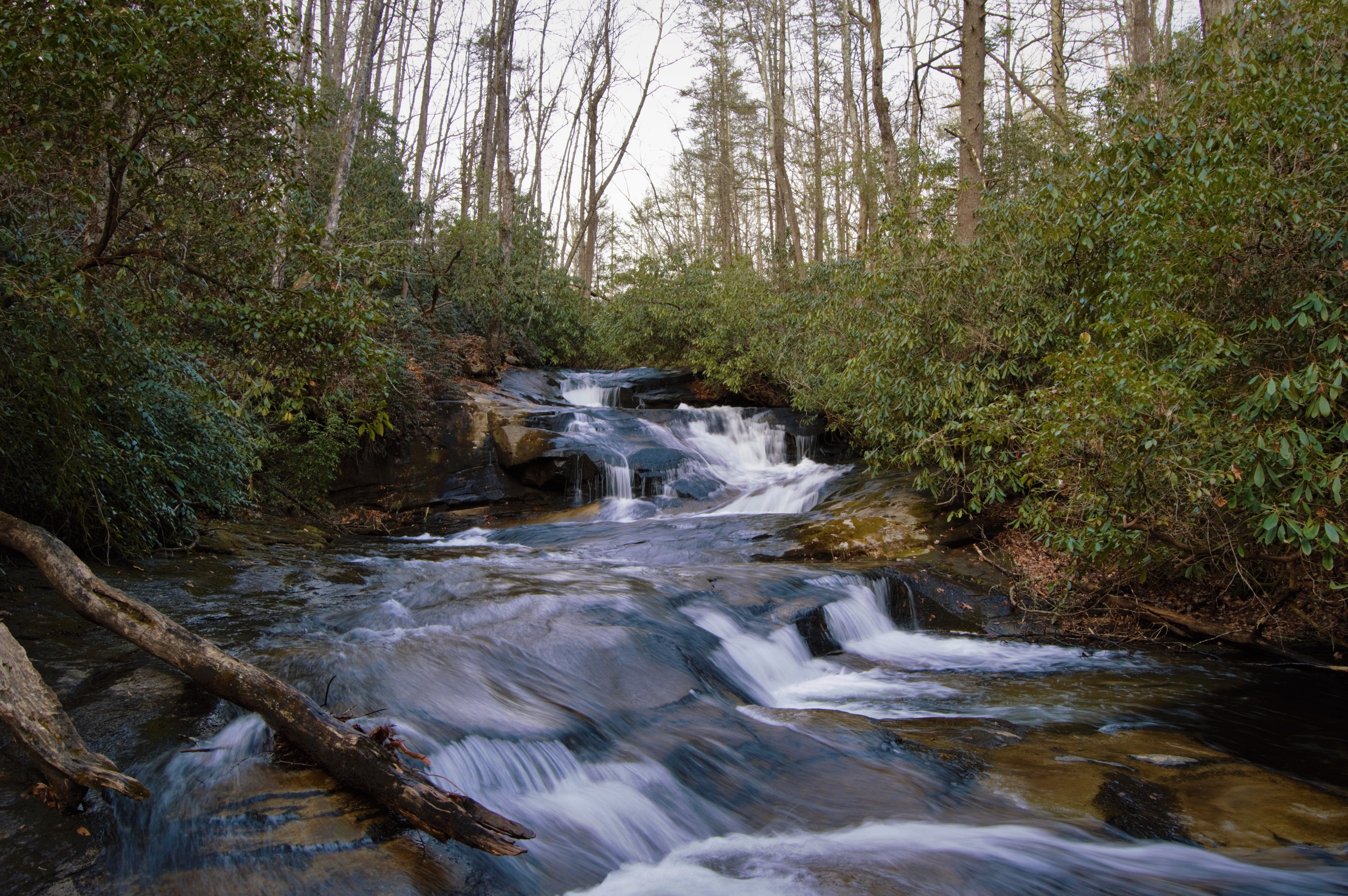
Cove Creek Falls

Maggie Valley NC

Mountains and Clouds Landscape
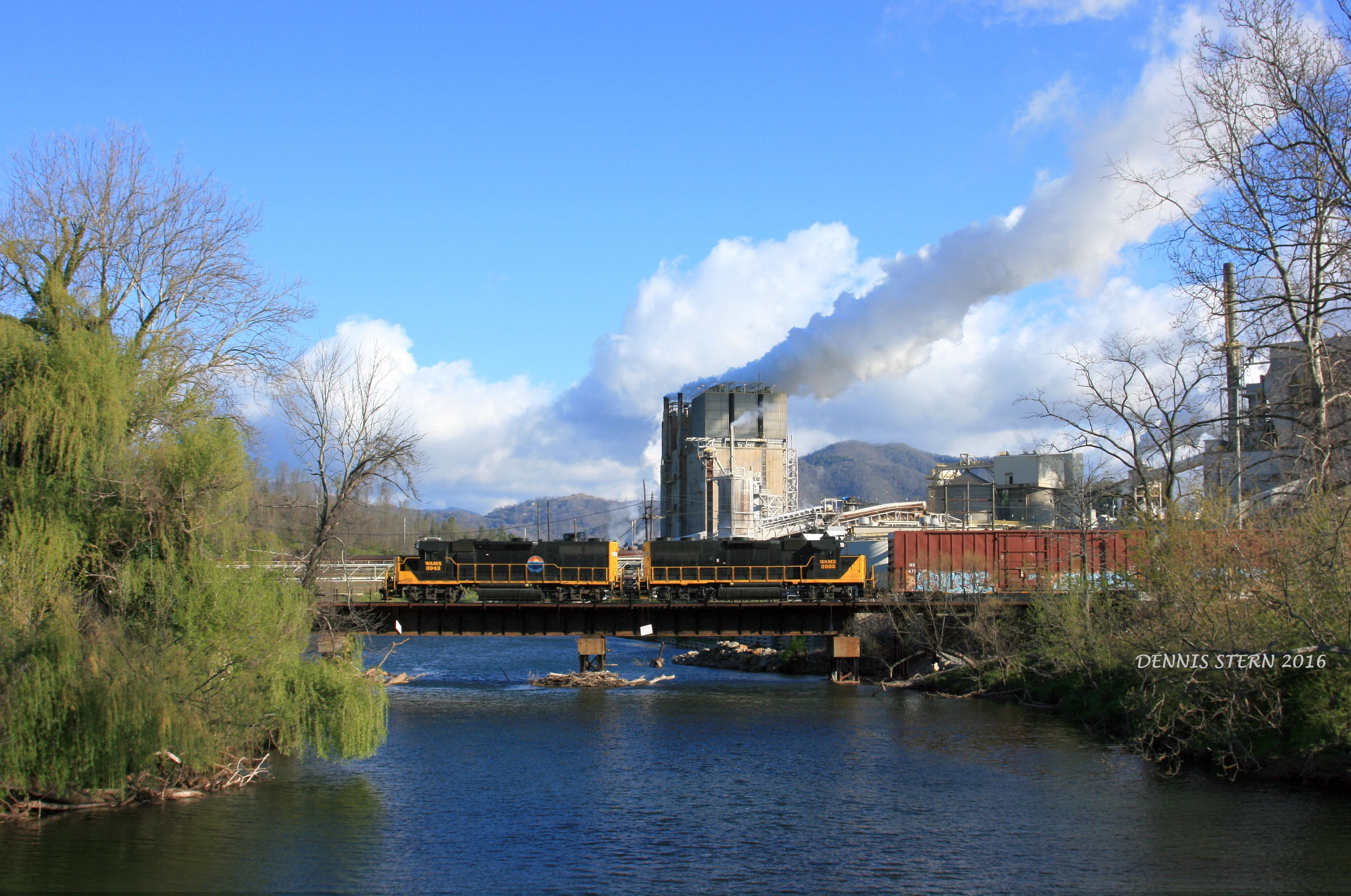
WAMX 3943, #59, CANTON, NC 4-9-16

North Carolina - Blue Ridge Parkway

Haywood County Landscape

Mountain Road (B/W)

Just passin' through

Blue Ridge Southern T31 @ Stone House

Waynesville, NC

Golden Pasture

Natural North Carolina
Topographic Map of Timmy Trail, Clyde, NC, USA
Find elevation by address:

Places near Timmy Trail, Clyde, NC, USA:
340 Timmy Trail
137 Walnut Rd
582 Breakwood Dr
29 Arrowhead St
554 Penland St
Chambers Mountain Road
3521 Broad St
37 Willow St
Clyde
384 Caring Pl Loop
600 Hyder Mountain Rd
85 Lone Oak Dr
890 Hyder Mountain Rd
284 Caring Pl Loop
4736 Old Clyde Rd
157 Harveys Mountain Rd
44 London Ln
135 Fowler Ln
301 Fowler Ln
Clyde
Recent Searches:
- Elevation of Corso Fratelli Cairoli, 35, Macerata MC, Italy
- Elevation of Tallevast Rd, Sarasota, FL, USA
- Elevation of 4th St E, Sonoma, CA, USA
- Elevation of Black Hollow Rd, Pennsdale, PA, USA
- Elevation of Oakland Ave, Williamsport, PA, USA
- Elevation of Pedrógão Grande, Portugal
- Elevation of Klee Dr, Martinsburg, WV, USA
- Elevation of Via Roma, Pieranica CR, Italy
- Elevation of Tavkvetili Mountain, Georgia
- Elevation of Hartfords Bluff Cir, Mt Pleasant, SC, USA