Elevation of Fowler Ln, Clyde, NC, USA
Location: United States > North Carolina > Haywood County > Clyde > Clyde >
Longitude: -82.907690
Latitude: 35.5233818
Elevation: 788m / 2585feet
Barometric Pressure: 92KPa
Elevation Map:
Satellite Map:
Related Photos:

Leaving Canton

Up and Down

Lake Junaluska, NC

View from one of the Pisgah View Ranch trails

Pisgah View Ranch House

Local geese enjoying a swim

Pisgah View Ranch Wedding in April 2007
Lakeside Cabins

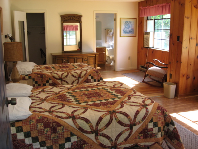
Bedroom in the Sunrise Cottage

Cookouts every Saturday Night

Beechnut 2 Cabin

Dance barn & Mount Pisgah

Cookout area, tennis court & Lakeside cabins

Retirement party in the Pisgah Room

Cowboy Preacher teaching how to use a bull whip
Whiskey & Gin (ranch dogs)

Sunrise & Tollgate Cottages

Grandpa helping with a 3-legged race

4th of July horse parade

Wedding in the Dance Hall

Playing Old Fashioned Shuffleboard

Mountain Air 2

Mountain Air
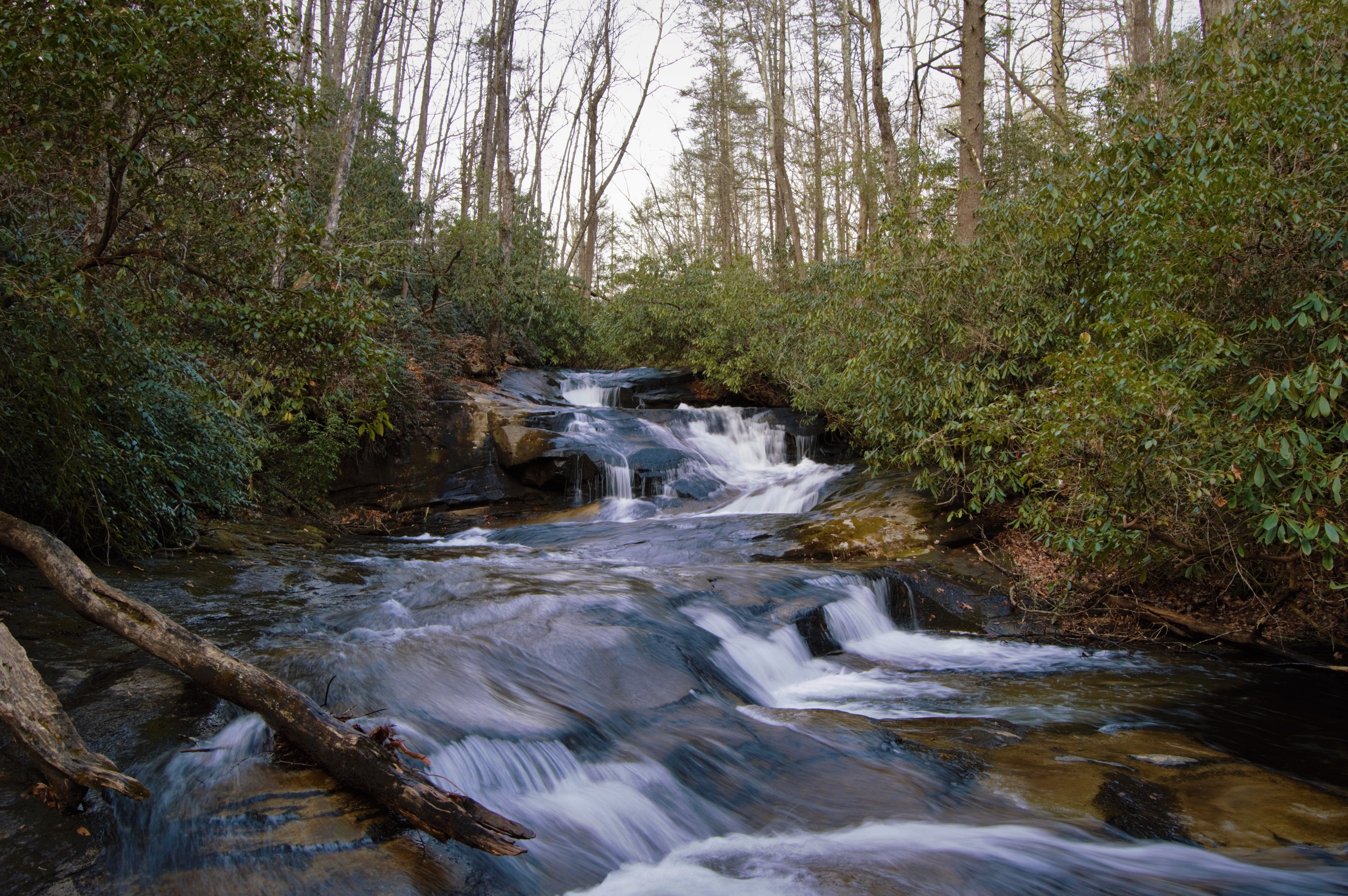
Cove Creek Falls

North Carolina - Blue Ridge Parkway
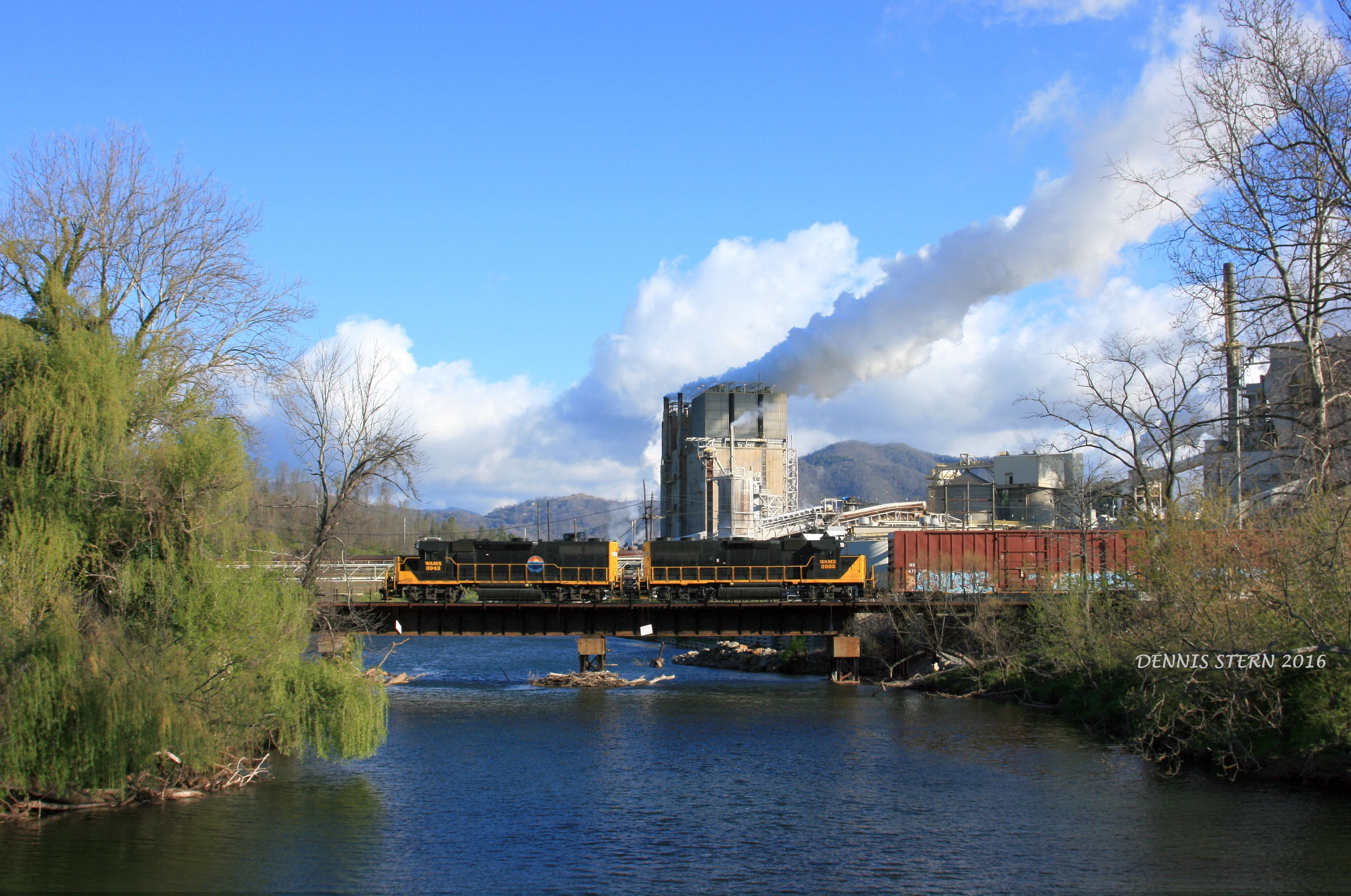
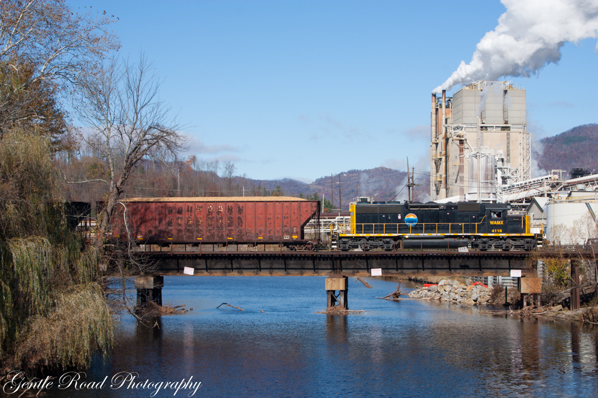
WAMX 3943, #59, CANTON, NC 4-9-16

Blue Ridge Southern T31 @ Stone House

Waynesville, NC

A Walk In The Woods

Fall Foliage Blue Ridge Parkway Autumn Leaves

East Fork Pigeon River

Waynesville, Haywood County, North Carolina

Near Maggie Valley, NC
Blue Ridge Southern in Canton, NC
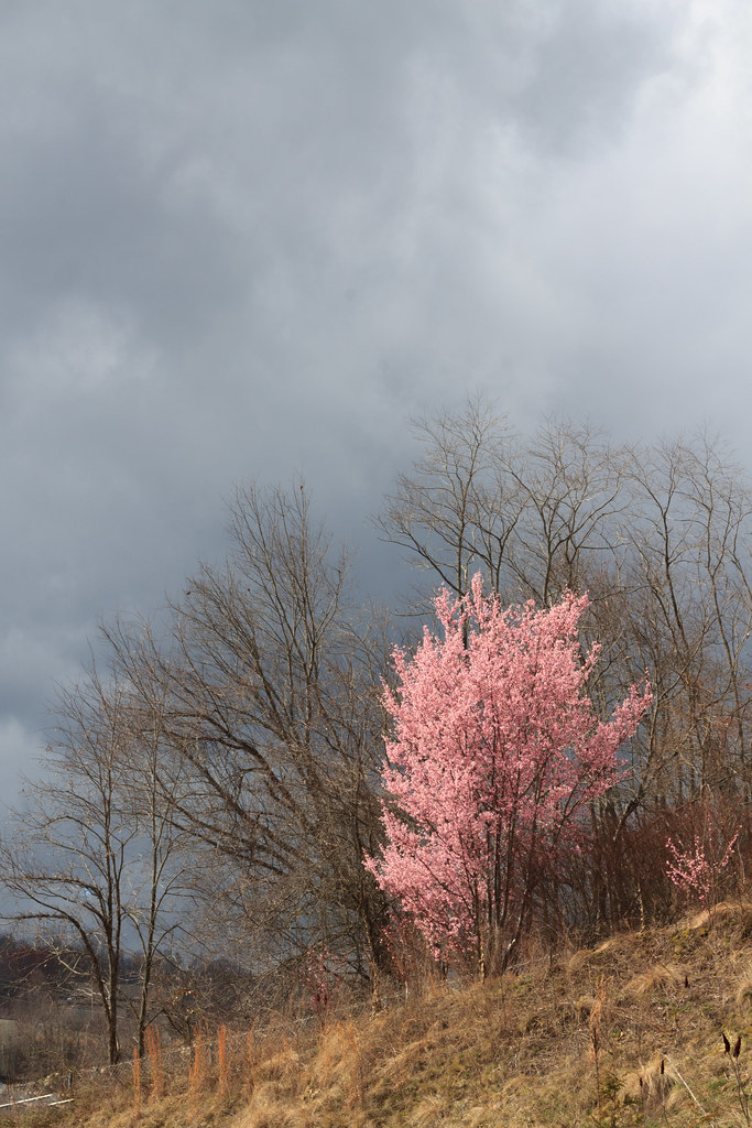
First Brushstroke of Spring, North Carolina

Jonathan Creek

from here to there

Take the high road....

T-31 at High Bridge

The rumble in the distance
Topographic Map of Fowler Ln, Clyde, NC, USA
Find elevation by address:

Places near Fowler Ln, Clyde, NC, USA:
135 Fowler Ln
Poison Cove Road
Clyde
Clyde
37 Willow St
Windy Knoll Drive
3521 Broad St
163 Debbie Lp
29 Arrowhead St
157 Harveys Mountain Rd
554 Penland St
Chambers Mountain Road
173 Maple Knoll Cir
214 Maple Knoll Cir
600 Hyder Mountain Rd
582 Breakwood Dr
35 Inman Dr
4736 Old Clyde Rd
890 Hyder Mountain Rd
85 Lone Oak Dr
Recent Searches:
- Elevation of Corso Fratelli Cairoli, 35, Macerata MC, Italy
- Elevation of Tallevast Rd, Sarasota, FL, USA
- Elevation of 4th St E, Sonoma, CA, USA
- Elevation of Black Hollow Rd, Pennsdale, PA, USA
- Elevation of Oakland Ave, Williamsport, PA, USA
- Elevation of Pedrógão Grande, Portugal
- Elevation of Klee Dr, Martinsburg, WV, USA
- Elevation of Via Roma, Pieranica CR, Italy
- Elevation of Tavkvetili Mountain, Georgia
- Elevation of Hartfords Bluff Cir, Mt Pleasant, SC, USA