Elevation of Timberon, NM, USA
Location: United States > New Mexico > Otero County >
Longitude: -105.69414
Latitude: 32.6209314
Elevation: 2112m / 6929feet
Barometric Pressure: 78KPa
Elevation Map:
Satellite Map:
Related Photos:
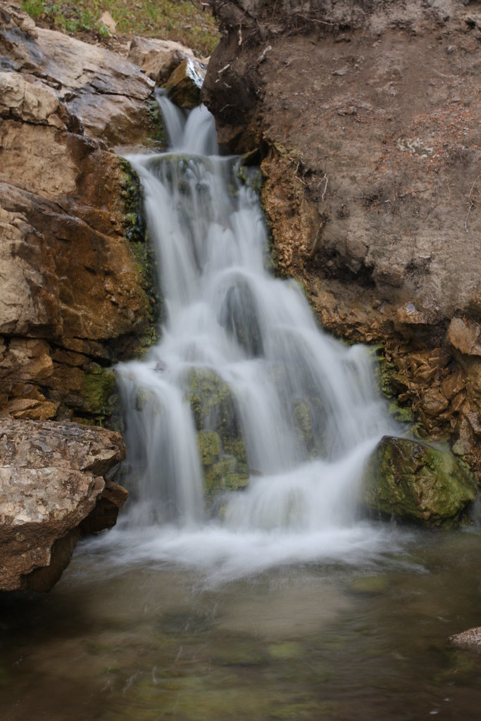
Sacramento Waterfall
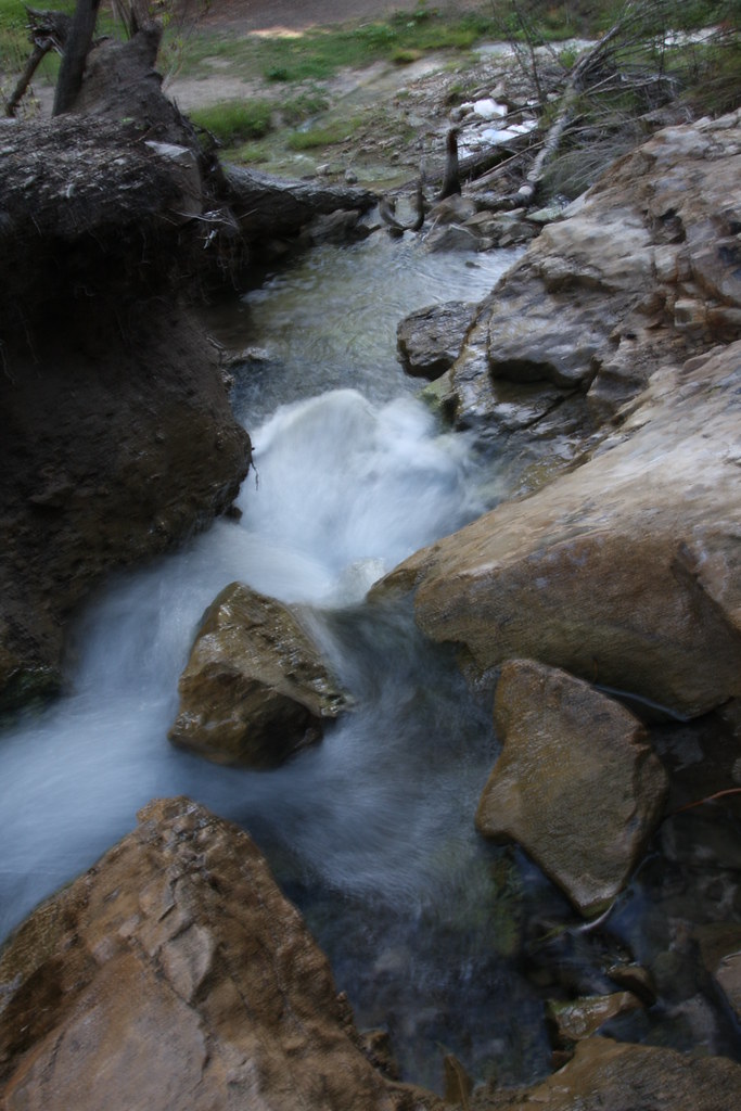
Sacramento Water Fall
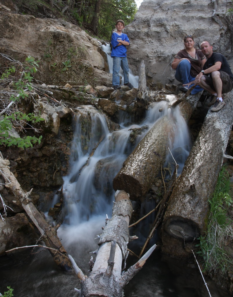
A Family Portrait
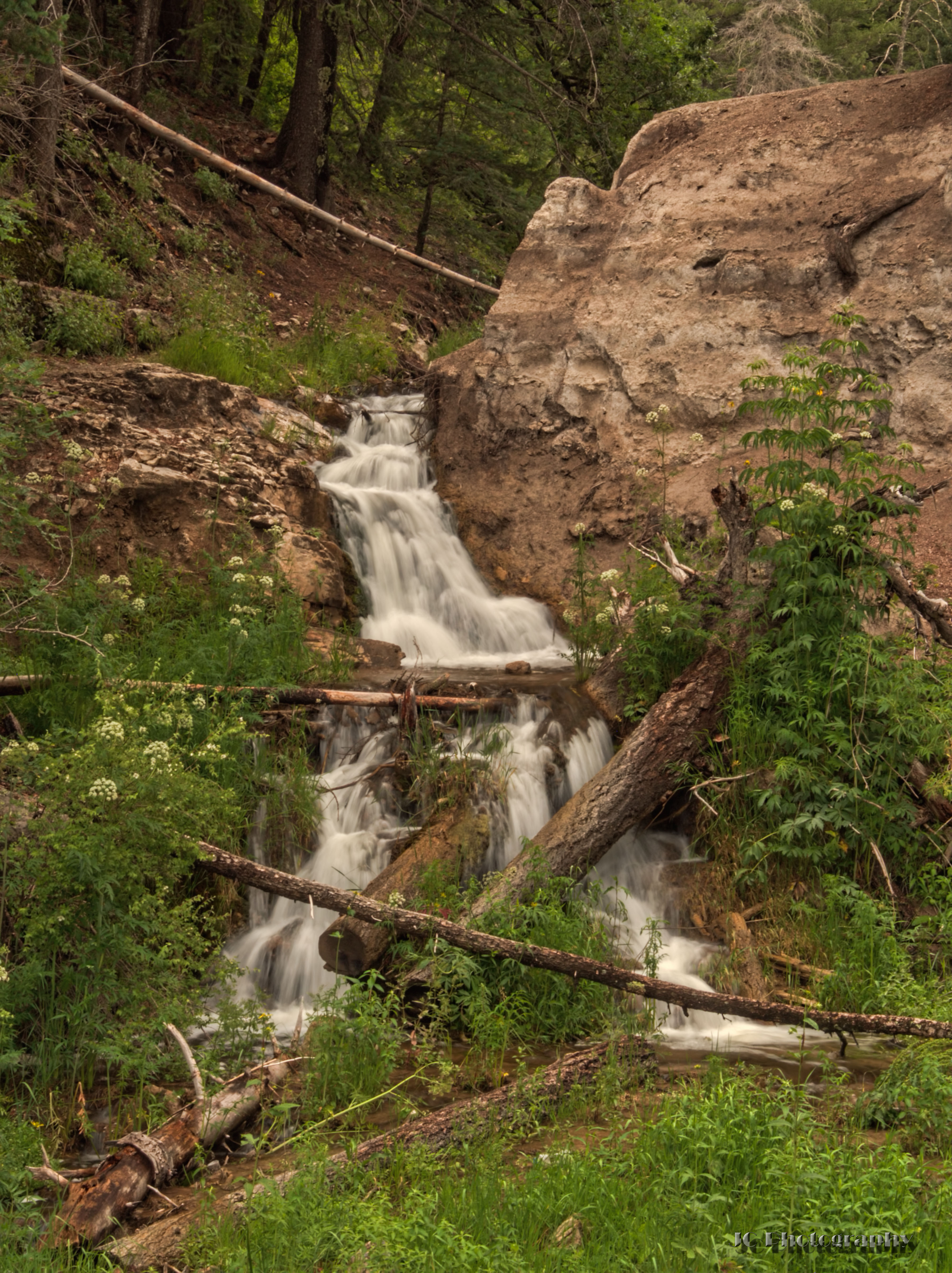
Waterfall near Sunspot, NM

Hiding out in the woods till my Bride of Frankenstein/Muhammed Ali/Vampire look fades; this guy wasn't scared at all.
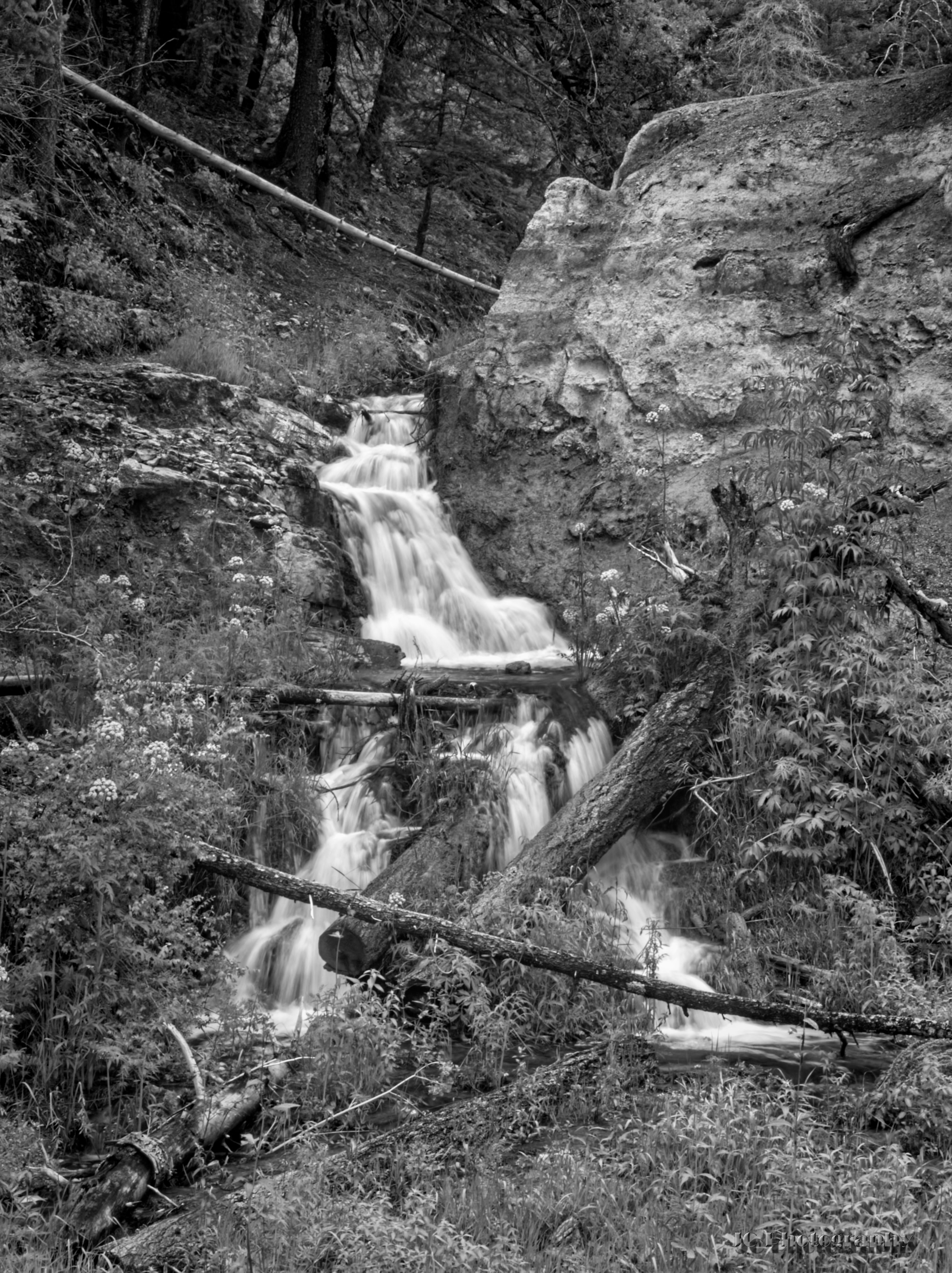
Waterfall near Sunspot, NM (BW)
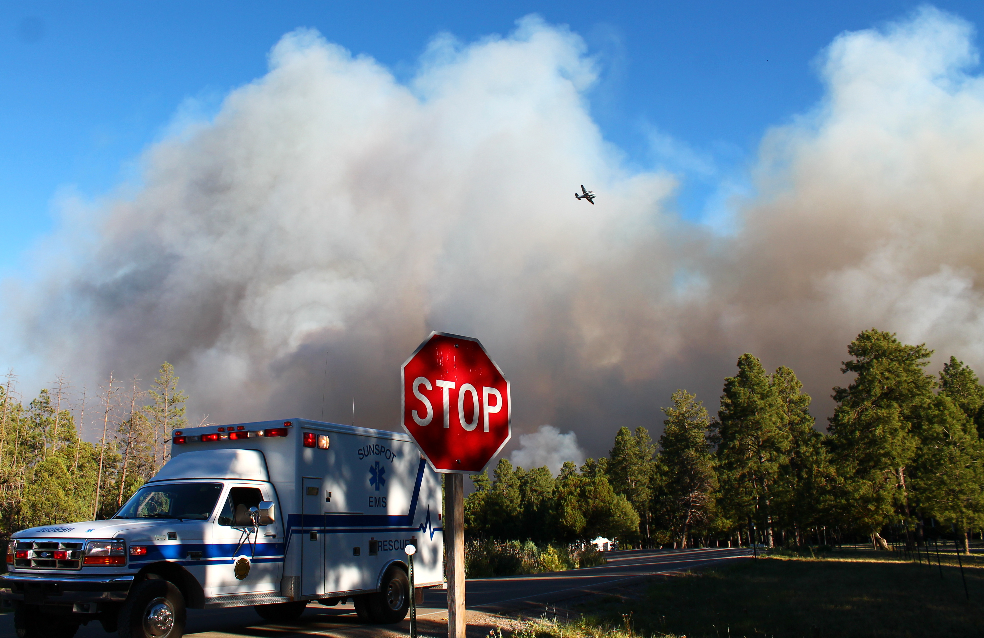
Timberon Fire
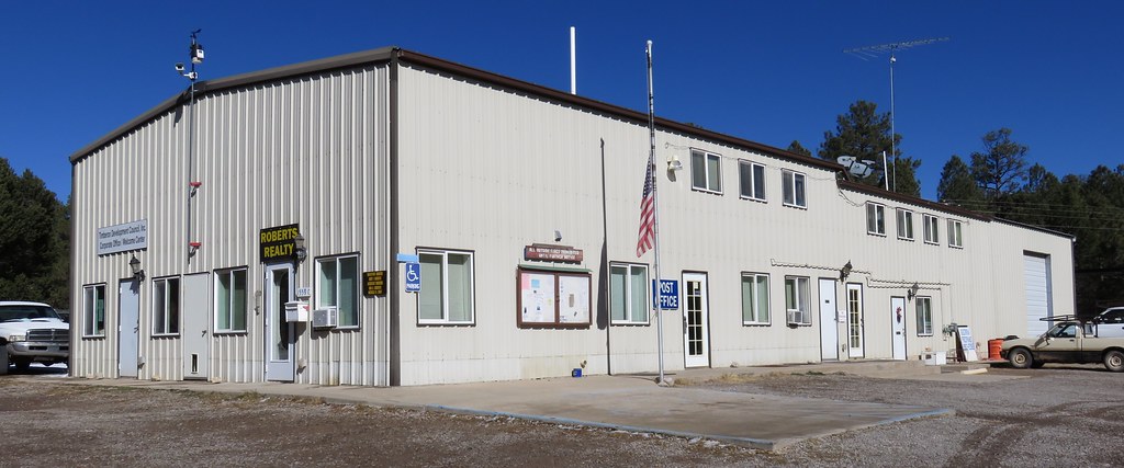
Post Office 88350 (Timberon, New Mexico)

Monarch Butterfly

Roasting Chiles in Santa Fe
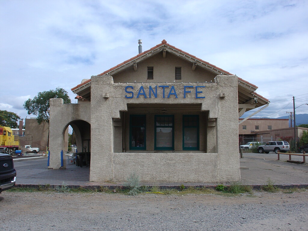
Santa Fe Railroad Station
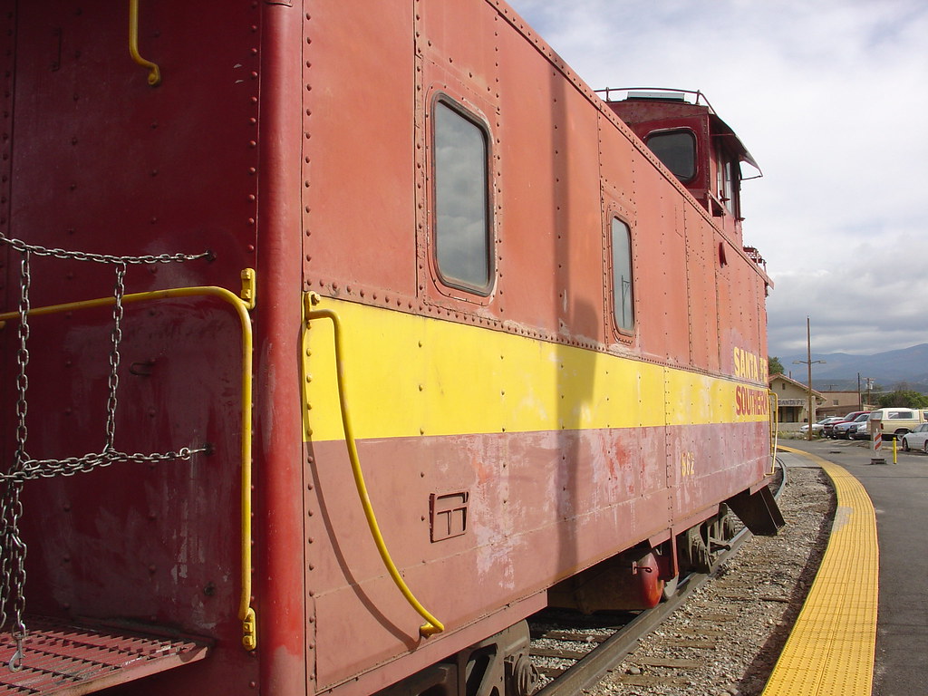
Santa Fe Railroad Yard
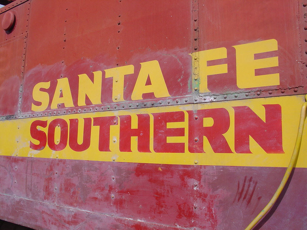
Santa Fe Railroad Yard
Topographic Map of Timberon, NM, USA
Find elevation by address:

Places near Timberon, NM, USA:
8 Hungry Horse Loop
11 Sauk Dr
389 Dixwood Dr
389 Dixwood Dr
389 Dixwood Dr
389 Dixwood Dr
187 Wollin Dr
197 Wollin Dr
52 Santa Fe Dr
98 Buckwood Dr
Otero County
Alamogordo, Nm
Agua Chiquita Rd, Sacramento, NM, USA
731 Agua Chiquita Rd
Sunspot
Bluff Springs
Cathey Peak
Sacramento
Wills Canyon
Benson Ridge
Recent Searches:
- Elevation of Corso Fratelli Cairoli, 35, Macerata MC, Italy
- Elevation of Tallevast Rd, Sarasota, FL, USA
- Elevation of 4th St E, Sonoma, CA, USA
- Elevation of Black Hollow Rd, Pennsdale, PA, USA
- Elevation of Oakland Ave, Williamsport, PA, USA
- Elevation of Pedrógão Grande, Portugal
- Elevation of Klee Dr, Martinsburg, WV, USA
- Elevation of Via Roma, Pieranica CR, Italy
- Elevation of Tavkvetili Mountain, Georgia
- Elevation of Hartfords Bluff Cir, Mt Pleasant, SC, USA