Elevation of Agua Chiquita Rd, Sacramento, NM, USA
Location: United States > New Mexico > Otero County > Sacramento >
Longitude: -105.61909
Latitude: 32.78763
Elevation: 2340m / 7677feet
Barometric Pressure: 76KPa
Elevation Map:
Satellite Map:
Related Photos:

Hubble Deep Field Location: 12 hour exposure - 2009
Waterfall near Sunspot, NM
Cabin Balcony Panoramic
Sacramento Waterfall
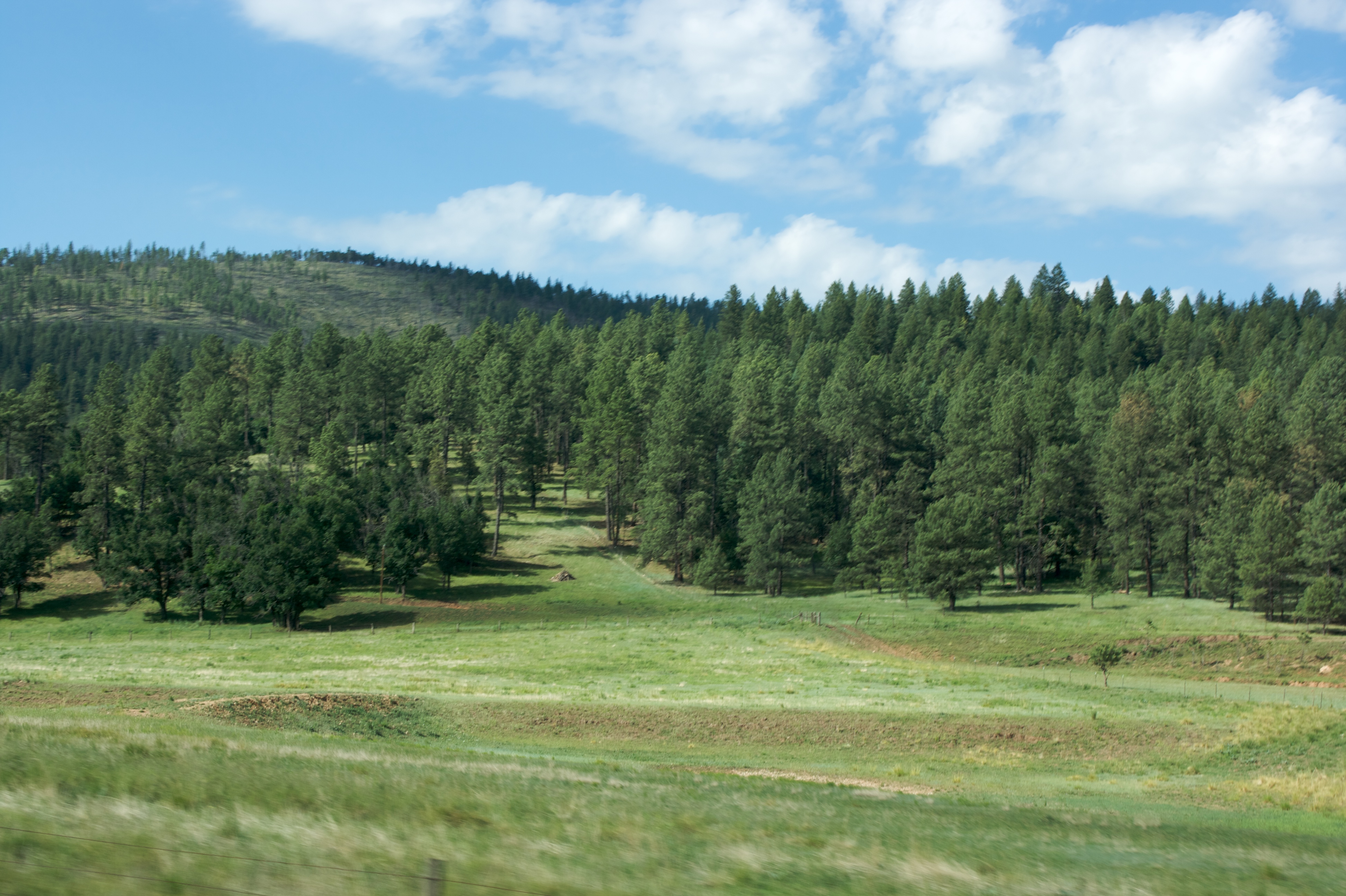
Sacramento Mountains (Otero County, New Mexico)
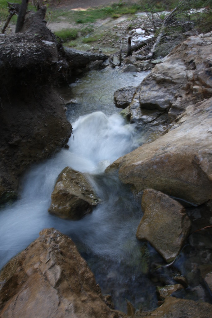
Sacramento Water Fall
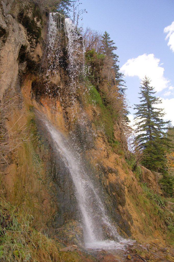
Bluff Spring Falls
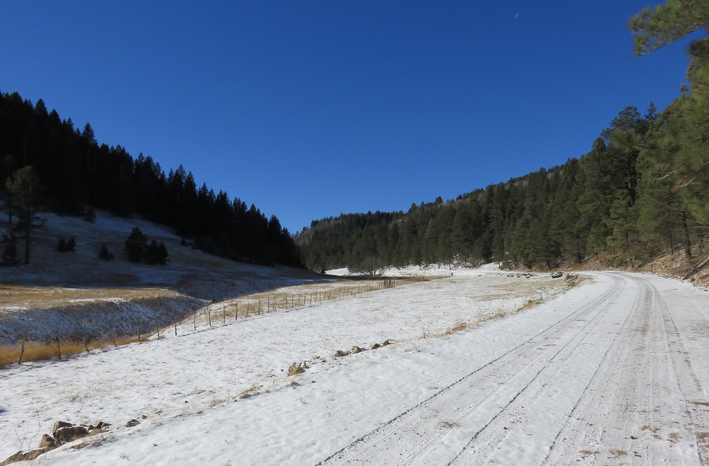
Sacramento Mountains (Otero County, New Mexico)
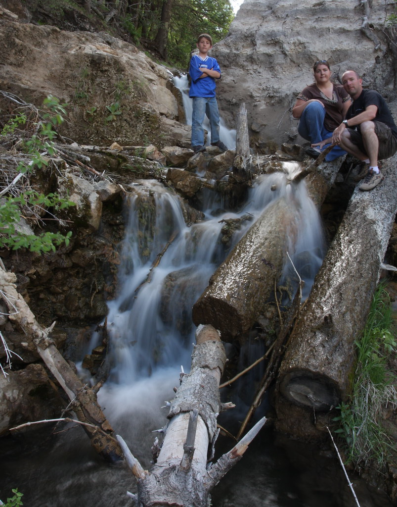
A Family Portrait
New Mexico 5
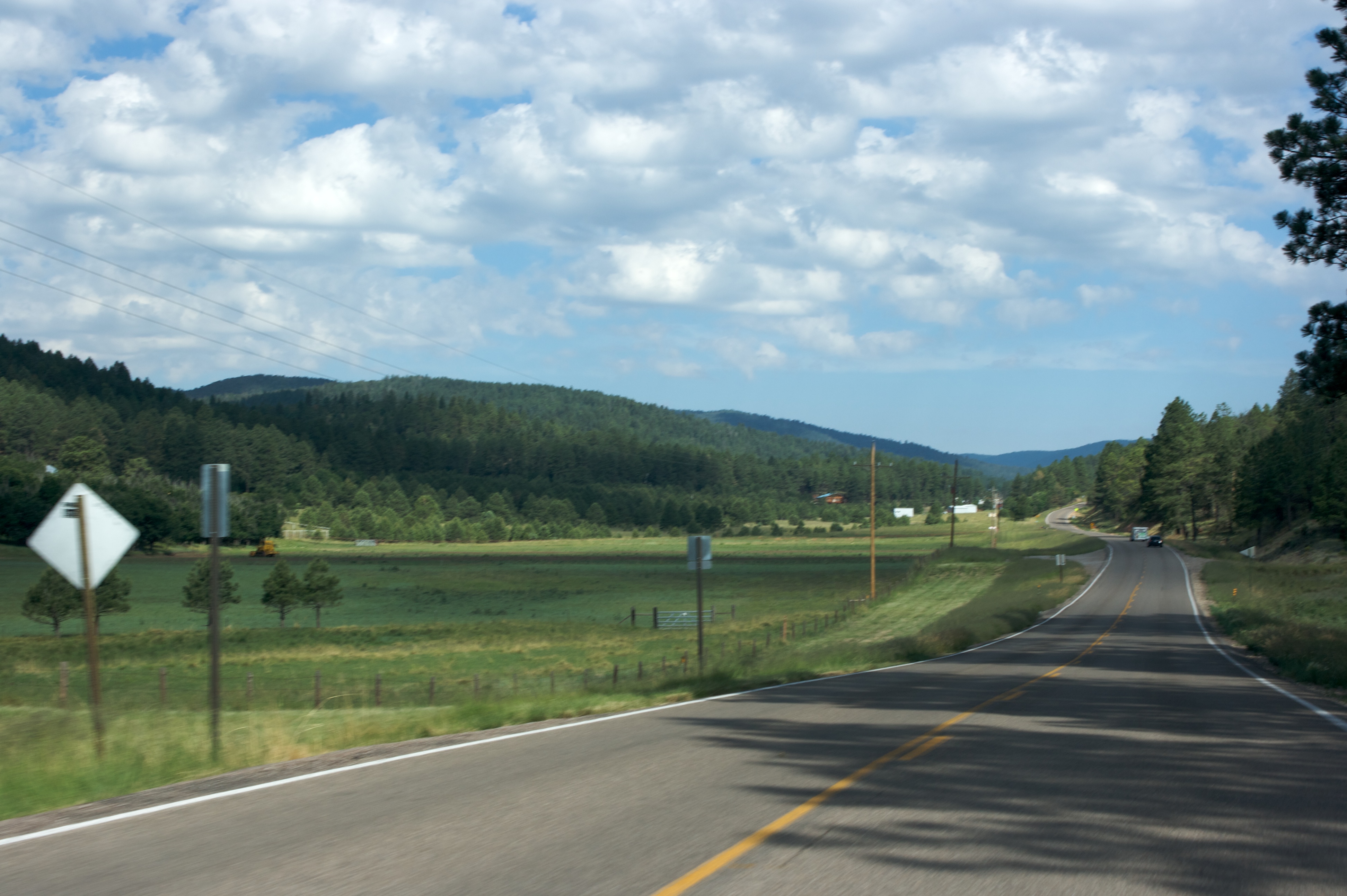
New Mexico 4

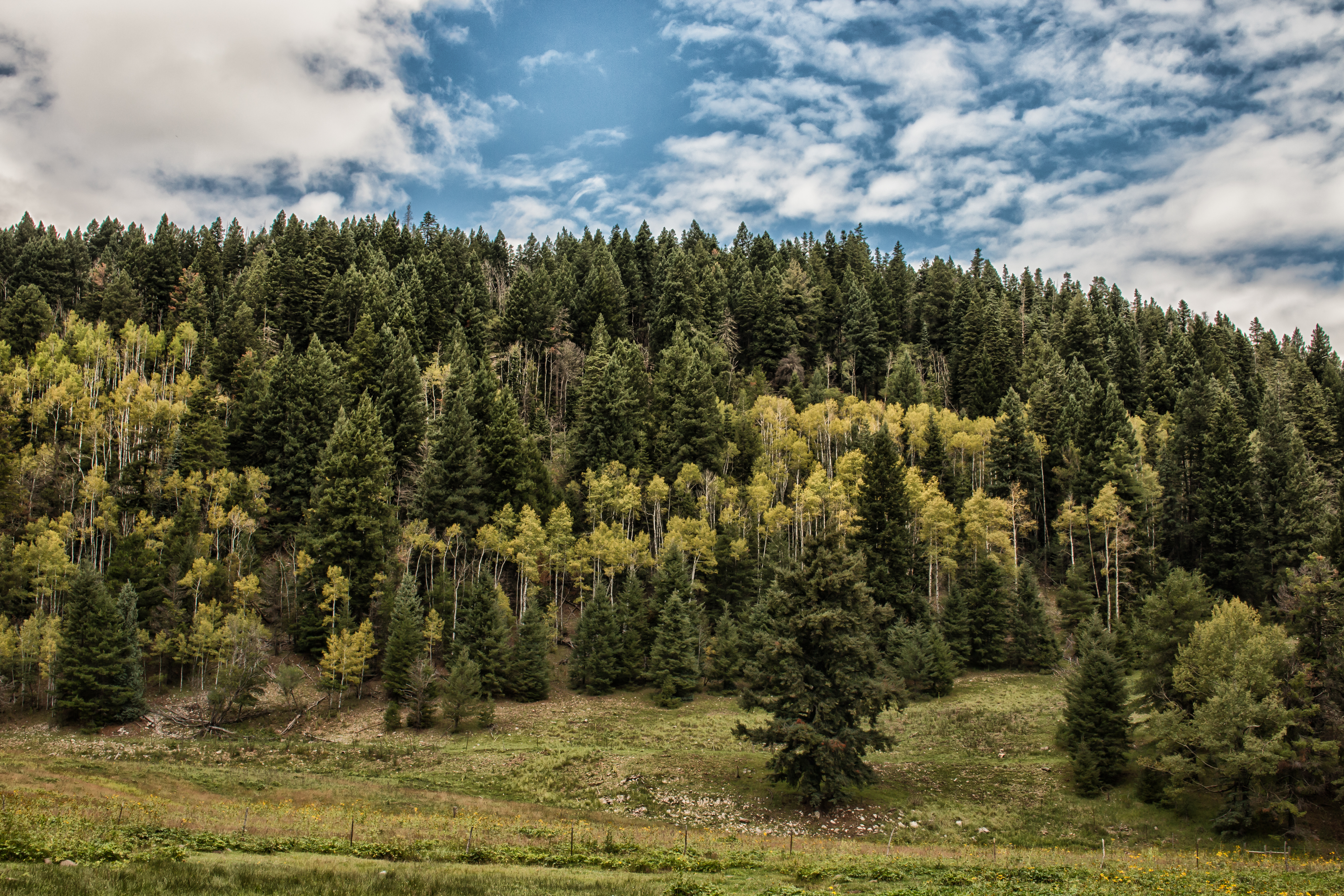
New Mexico Aspen Grove
Hubbell Canyon - Sunspot-8969-Edit
Topographic Map of Agua Chiquita Rd, Sacramento, NM, USA
Find elevation by address:

Places near Agua Chiquita Rd, Sacramento, NM, USA:
Agua Chiquita Rd, Sacramento, NM, USA
Sacramento
Wills Canyon
56 Black Forest Dr
Weed
Bluff Springs
1910 Rio Penasco Rd
Crestview Drive
61 Ridge Rd
61 Ridge Rd
9 Contentment Crest
6 Spruce Meadow Ave, Cloudcroft, NM, USA
6 Maid Marian
Otero County
Alamogordo, Nm
13 Friar Tuck
197 Wollin Dr
187 Wollin Dr
Benson Ridge
11 Sauk Dr
Recent Searches:
- Elevation of Corso Fratelli Cairoli, 35, Macerata MC, Italy
- Elevation of Tallevast Rd, Sarasota, FL, USA
- Elevation of 4th St E, Sonoma, CA, USA
- Elevation of Black Hollow Rd, Pennsdale, PA, USA
- Elevation of Oakland Ave, Williamsport, PA, USA
- Elevation of Pedrógão Grande, Portugal
- Elevation of Klee Dr, Martinsburg, WV, USA
- Elevation of Via Roma, Pieranica CR, Italy
- Elevation of Tavkvetili Mountain, Georgia
- Elevation of Hartfords Bluff Cir, Mt Pleasant, SC, USA