Elevation of Timbdi, Gujarat, India
Location: India > Gujarat > Rajkot >
Longitude: 70.8446979
Latitude: 22.8717643
Elevation: 44m / 144feet
Barometric Pressure: 101KPa
Elevation Map:
Satellite Map:
Related Photos:
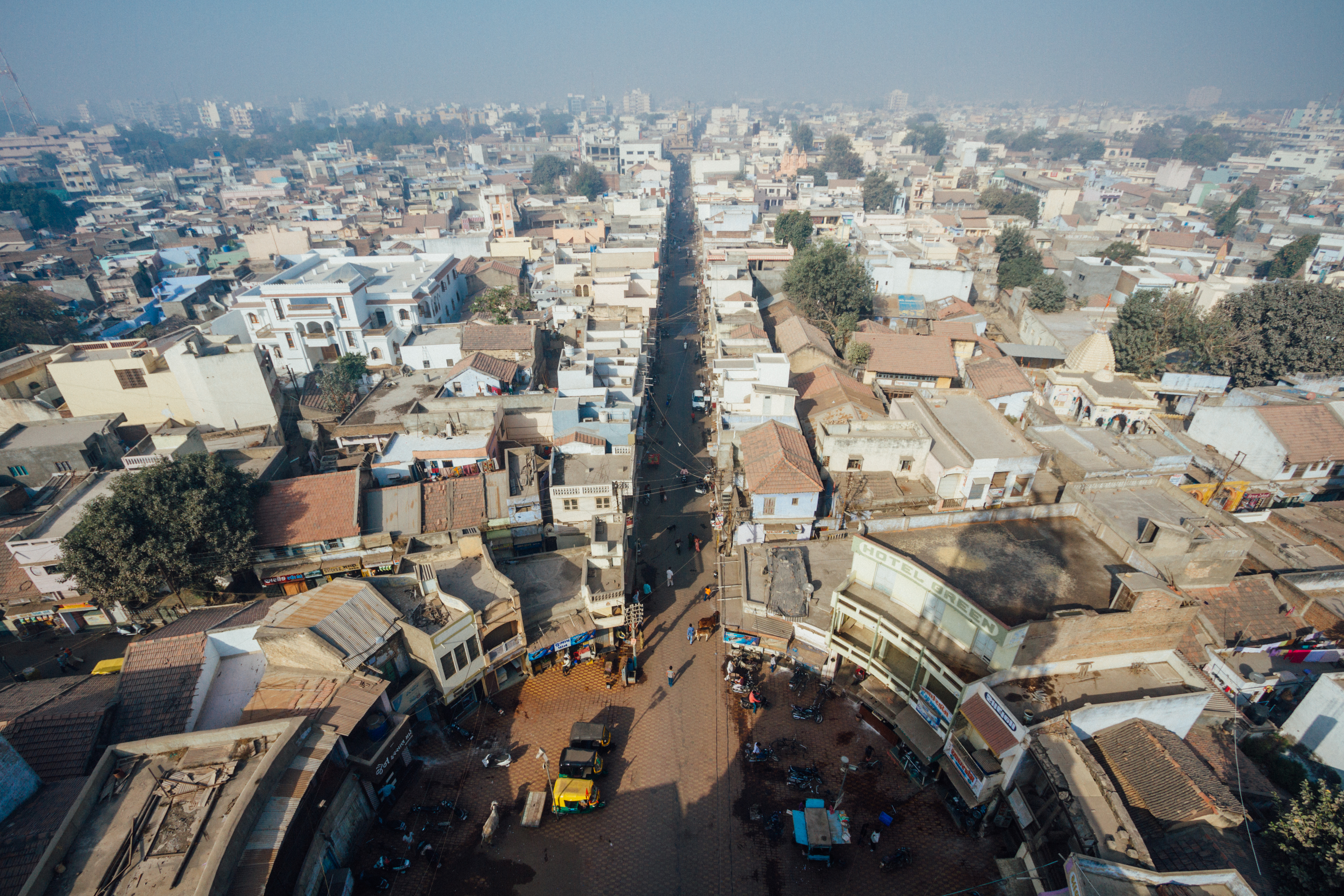
View From Morbi Palace Gate Tower

#tree #sun #light #creativity #nature #natural #beauty

Back light magic
Topographic Map of Timbdi, Gujarat, India
Find elevation by address:

Places near Timbdi, Gujarat, India:
Recent Searches:
- Elevation of Corso Fratelli Cairoli, 35, Macerata MC, Italy
- Elevation of Tallevast Rd, Sarasota, FL, USA
- Elevation of 4th St E, Sonoma, CA, USA
- Elevation of Black Hollow Rd, Pennsdale, PA, USA
- Elevation of Oakland Ave, Williamsport, PA, USA
- Elevation of Pedrógão Grande, Portugal
- Elevation of Klee Dr, Martinsburg, WV, USA
- Elevation of Via Roma, Pieranica CR, Italy
- Elevation of Tavkvetili Mountain, Georgia
- Elevation of Hartfords Bluff Cir, Mt Pleasant, SC, USA