Elevation of Surendranagar, Gujarat, India
Location: India > Gujarat > Surendranagar >
Longitude: 71.6369542
Latitude: 22.7251204
Elevation: 71m / 233feet
Barometric Pressure: 100KPa
Elevation Map:
Satellite Map:
Related Photos:

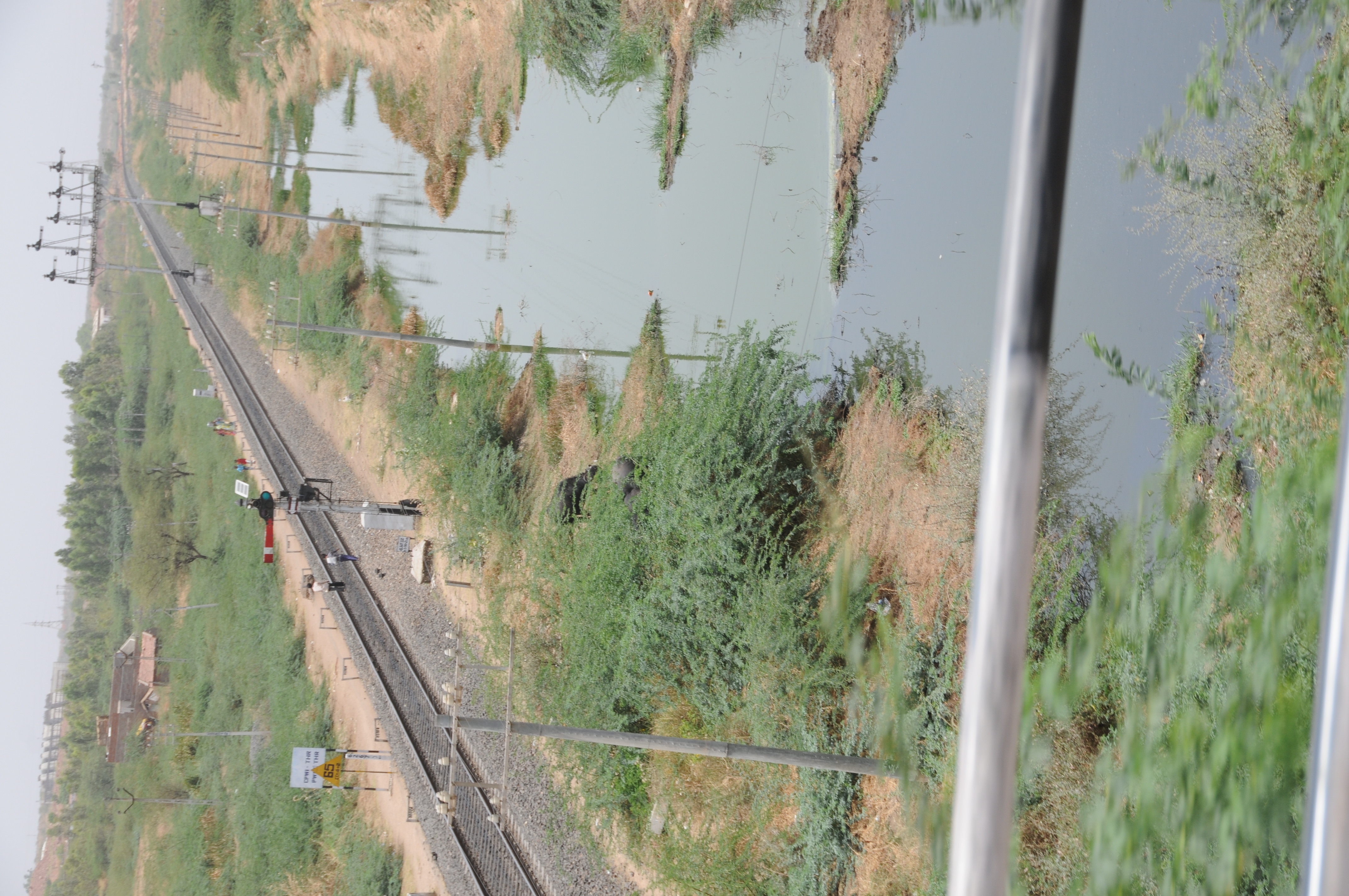
CSP_7125.JPG

CSP_7142.JPG

CSP_7158.JPG

CSP_7162.JPG

CSP_7163.JPG

CSP_7179.JPG

CSP_7175.JPG

CSP_7157.JPG

CSP_7168.JPG

CSP_7172.JPG

CSP_7156.JPG

CSP_7152.JPG

CSP_7166.JPG
CSP_7177.JPG

CSP_7150.JPG

CSP_7121.JPG

CSP_7149.JPG

CSP_7176.JPG

CSP_7139.JPG

CSP_7178.JPG

CSP_7128.JPG
Topographic Map of Surendranagar, Gujarat, India
Find elevation by address:

Places in Surendranagar, Gujarat, India:
Places near Surendranagar, Gujarat, India:
Recent Searches:
- Elevation of Corso Fratelli Cairoli, 35, Macerata MC, Italy
- Elevation of Tallevast Rd, Sarasota, FL, USA
- Elevation of 4th St E, Sonoma, CA, USA
- Elevation of Black Hollow Rd, Pennsdale, PA, USA
- Elevation of Oakland Ave, Williamsport, PA, USA
- Elevation of Pedrógão Grande, Portugal
- Elevation of Klee Dr, Martinsburg, WV, USA
- Elevation of Via Roma, Pieranica CR, Italy
- Elevation of Tavkvetili Mountain, Georgia
- Elevation of Hartfords Bluff Cir, Mt Pleasant, SC, USA