Elevation map of Tierra del Fuego, Magallanes y la Antártica Chilena Region, Chile
Location: Chile > Magallanes Y La Antártica Chilena Region > Tierra Del Fuego Province >
Longitude: -70
Latitude: -54
Elevation: 169m / 554feet
Barometric Pressure: 99KPa
Elevation Map:
Satellite Map:
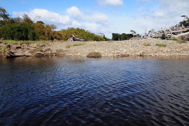
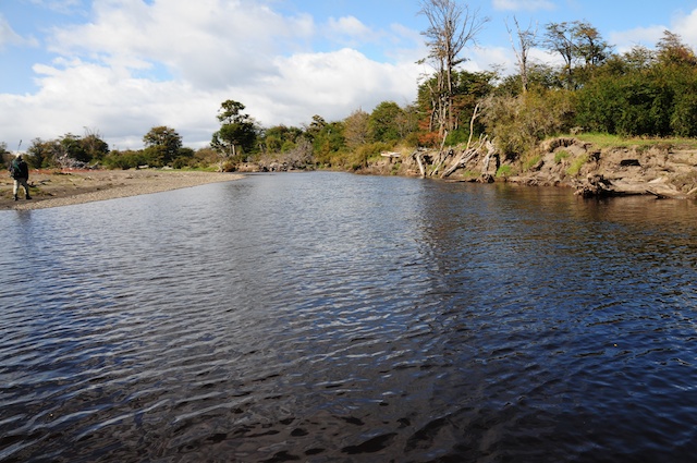
Related Photos:
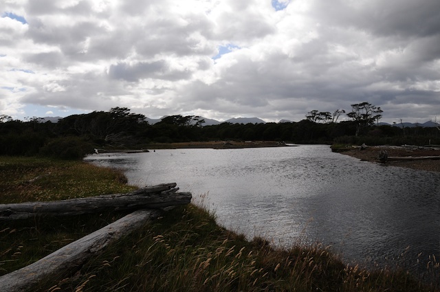
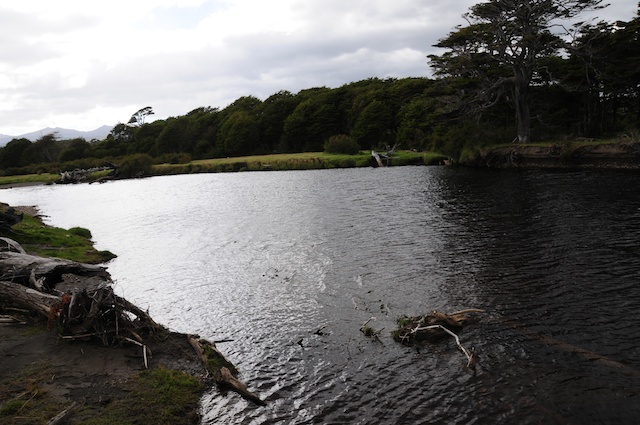
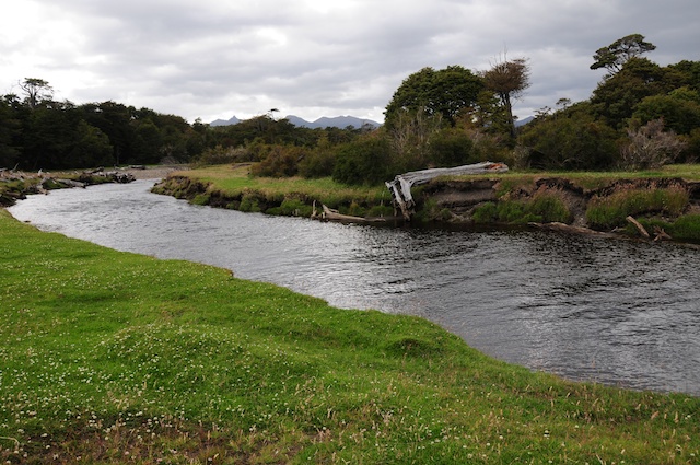
BCW_5637
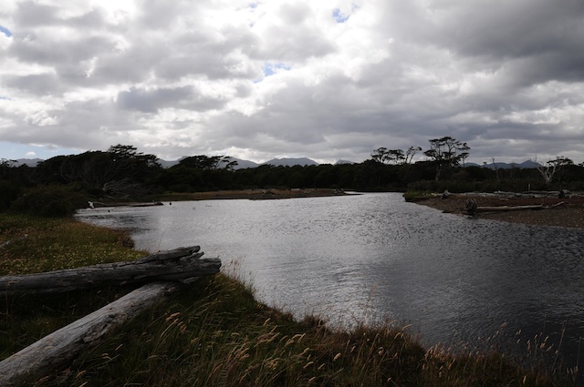
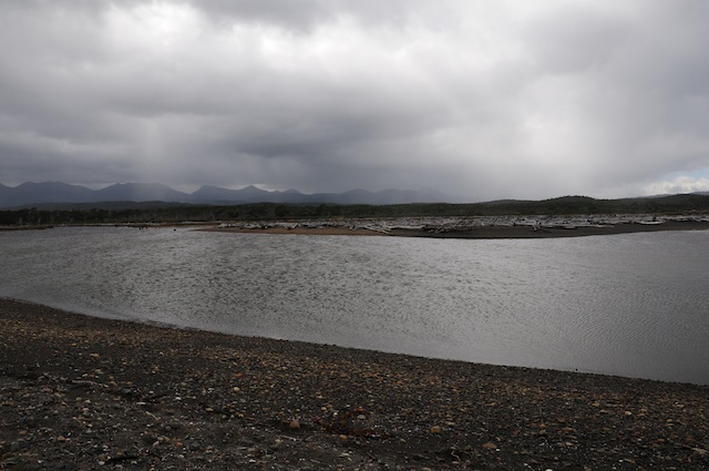
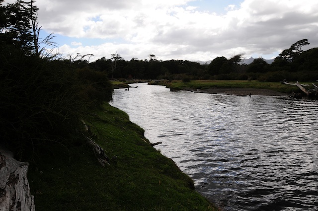
BCW_5638

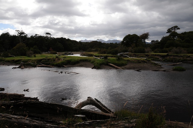
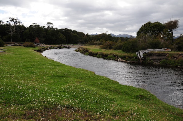
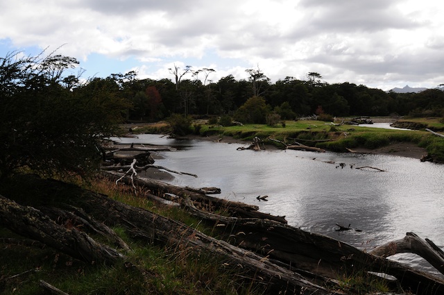
BCW_5636

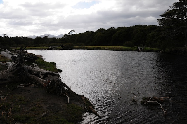
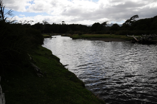
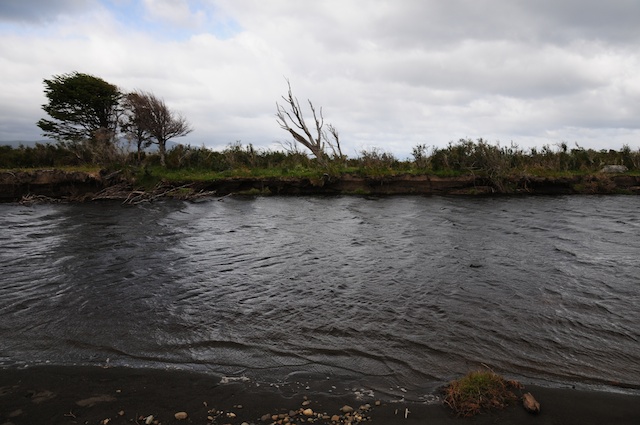
BCW_5775
BCW_5670
BCW_5659
BCW_5658
BCW_5590

BCW_5591

BCW_5651
BCW_5682
BCW_5664

BCW_5631
BCW_5681
BCW_5665
BCW_5672

BCW_5588

BCW_5784
BCW_5649
BCW_5783
BCW_5785
Topographic Map of Tierra del Fuego, Magallanes y la Antártica Chilena Region, Chile
Find elevation by address:

Places near Tierra del Fuego, Magallanes y la Antártica Chilena Region, Chile:
Recent Searches:
- Elevation of Corso Fratelli Cairoli, 35, Macerata MC, Italy
- Elevation of Tallevast Rd, Sarasota, FL, USA
- Elevation of 4th St E, Sonoma, CA, USA
- Elevation of Black Hollow Rd, Pennsdale, PA, USA
- Elevation of Oakland Ave, Williamsport, PA, USA
- Elevation of Pedrógão Grande, Portugal
- Elevation of Klee Dr, Martinsburg, WV, USA
- Elevation of Via Roma, Pieranica CR, Italy
- Elevation of Tavkvetili Mountain, Georgia
- Elevation of Hartfords Bluff Cir, Mt Pleasant, SC, USA