Elevation of Alberto de Agostini National Park, Chile
Location: Chile > Magallanes Y La Antártica Chilena Region > Antártica Chilena > Cabo De Hornos >
Longitude: -70.123792
Latitude: -54.762033
Elevation: 129m / 423feet
Barometric Pressure: 100KPa
Elevation Map:
Satellite Map:
Related Photos:
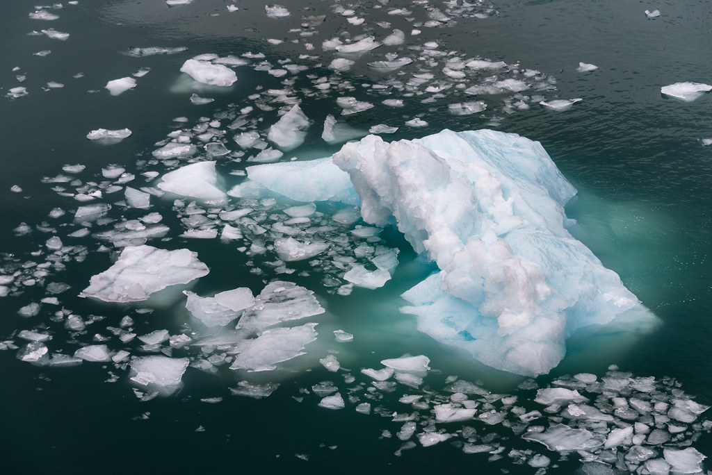
Icebergs near Garibaldi Glacier, Tierra del Fuego, Patagonia, Chile

Garibaldi Glacier, Tierra del Fuego, Patagonia, Chile
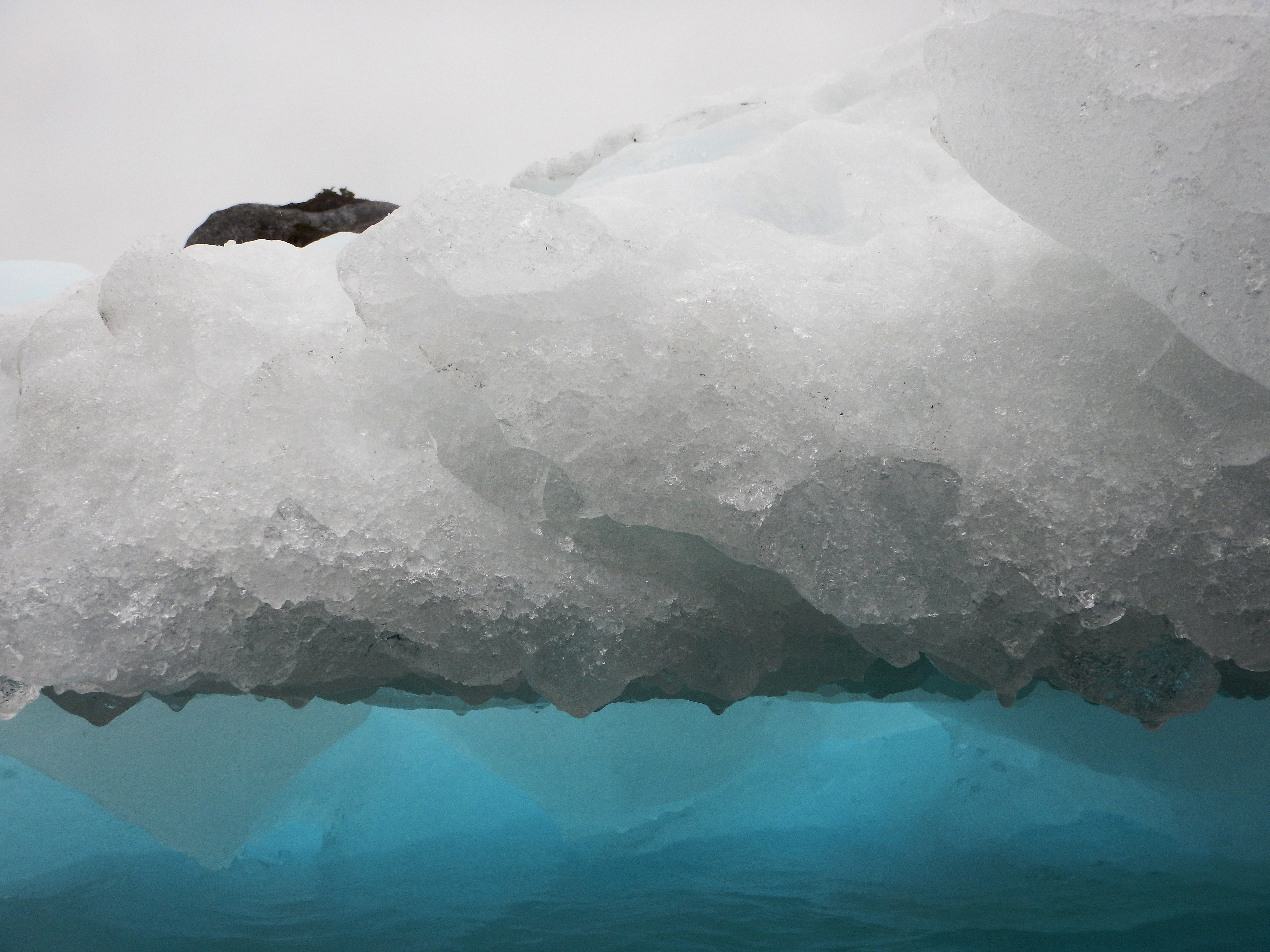
ice berg
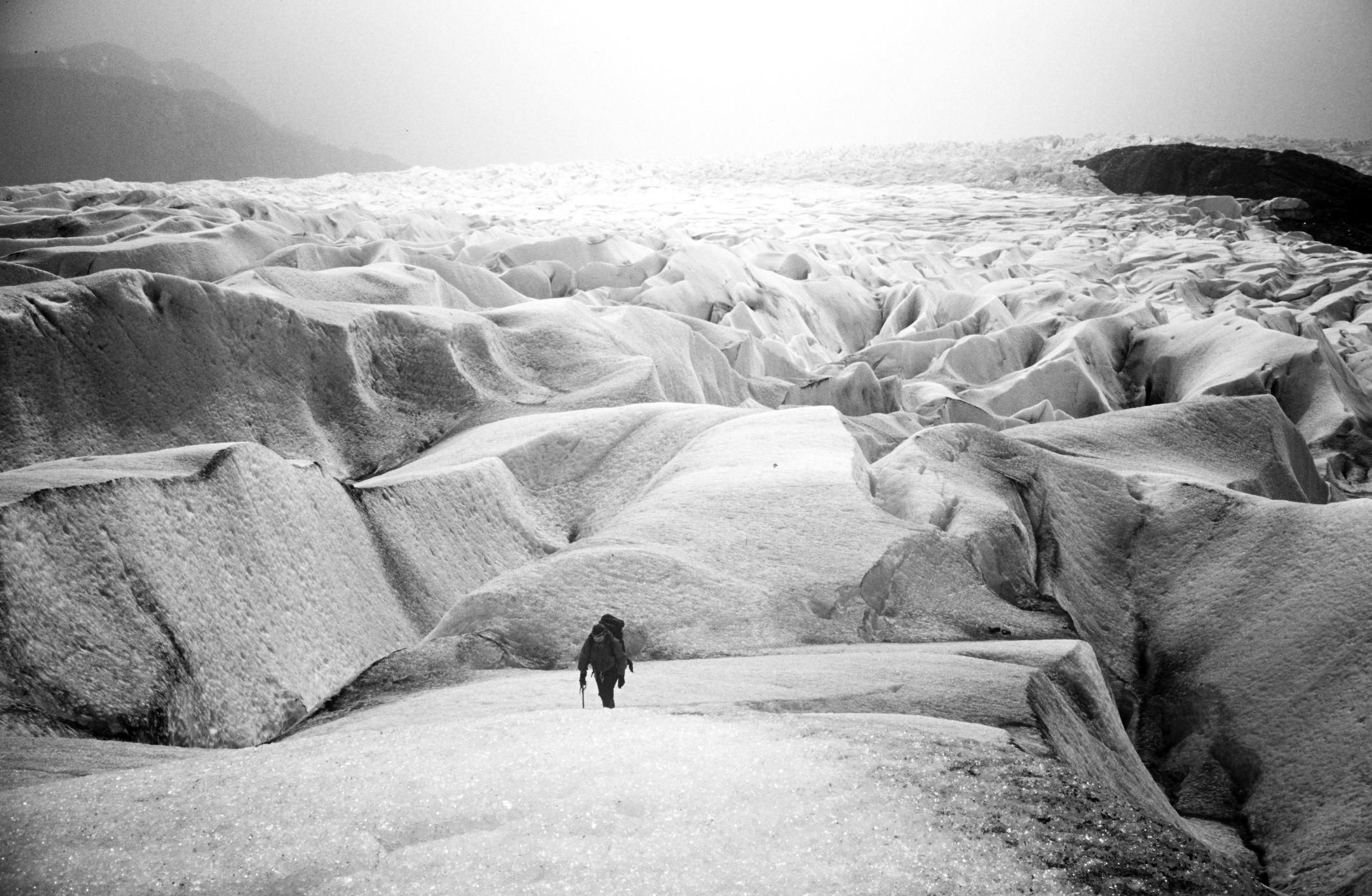
ice fields, chile
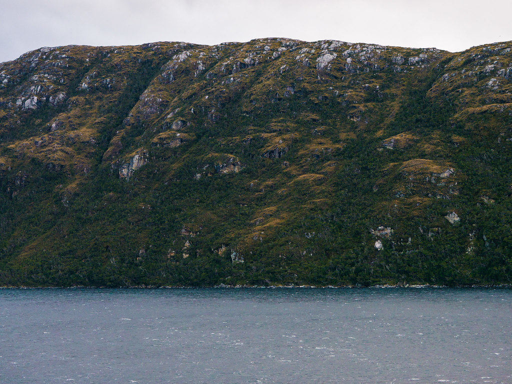
SouthAm-1100328.jpg
Topographic Map of Alberto de Agostini National Park, Chile
Find elevation by address:

Places near Alberto de Agostini National Park, Chile:
Recent Searches:
- Elevation of Corso Fratelli Cairoli, 35, Macerata MC, Italy
- Elevation of Tallevast Rd, Sarasota, FL, USA
- Elevation of 4th St E, Sonoma, CA, USA
- Elevation of Black Hollow Rd, Pennsdale, PA, USA
- Elevation of Oakland Ave, Williamsport, PA, USA
- Elevation of Pedrógão Grande, Portugal
- Elevation of Klee Dr, Martinsburg, WV, USA
- Elevation of Via Roma, Pieranica CR, Italy
- Elevation of Tavkvetili Mountain, Georgia
- Elevation of Hartfords Bluff Cir, Mt Pleasant, SC, USA