Elevation of Thorne Bottom Rd, Lost City, WV, USA
Location: United States > West Virginia > Hardy County > Lost River > Lost City >
Longitude: -78.726519
Latitude: 38.9784728
Elevation: 509m / 1670feet
Barometric Pressure: 95KPa
Elevation Map:
Satellite Map:
Related Photos:

Lost River

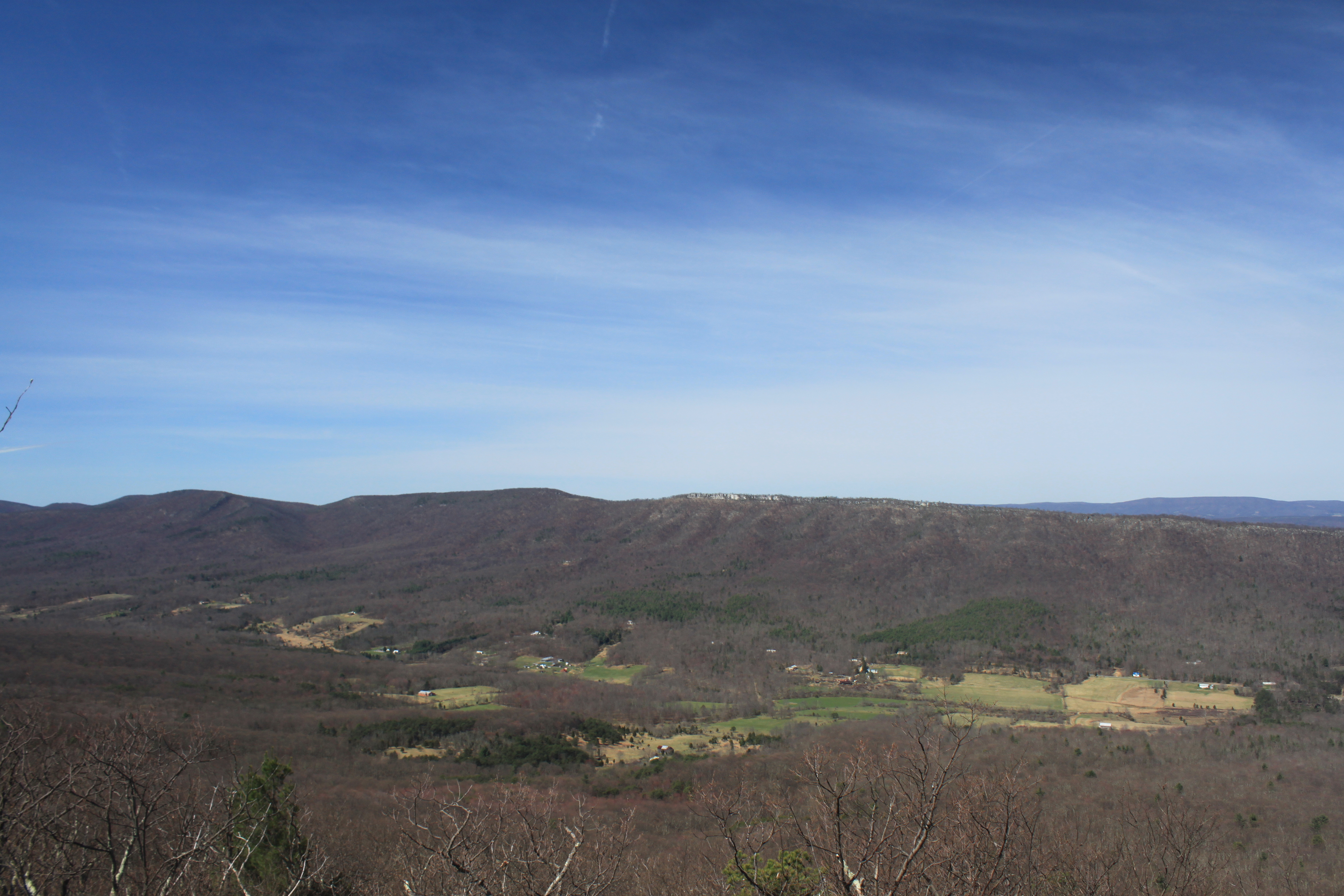
View from Big Schloss, GWNF

The view around the pond at Winchester Medical Center

The view around the pond at Winchester Medical Center

The view around the pond at Winchester Medical Center

Shenandoah Valley morning

catching the view while we stop to fix a flat

The view around the pond at Winchester Medical Center

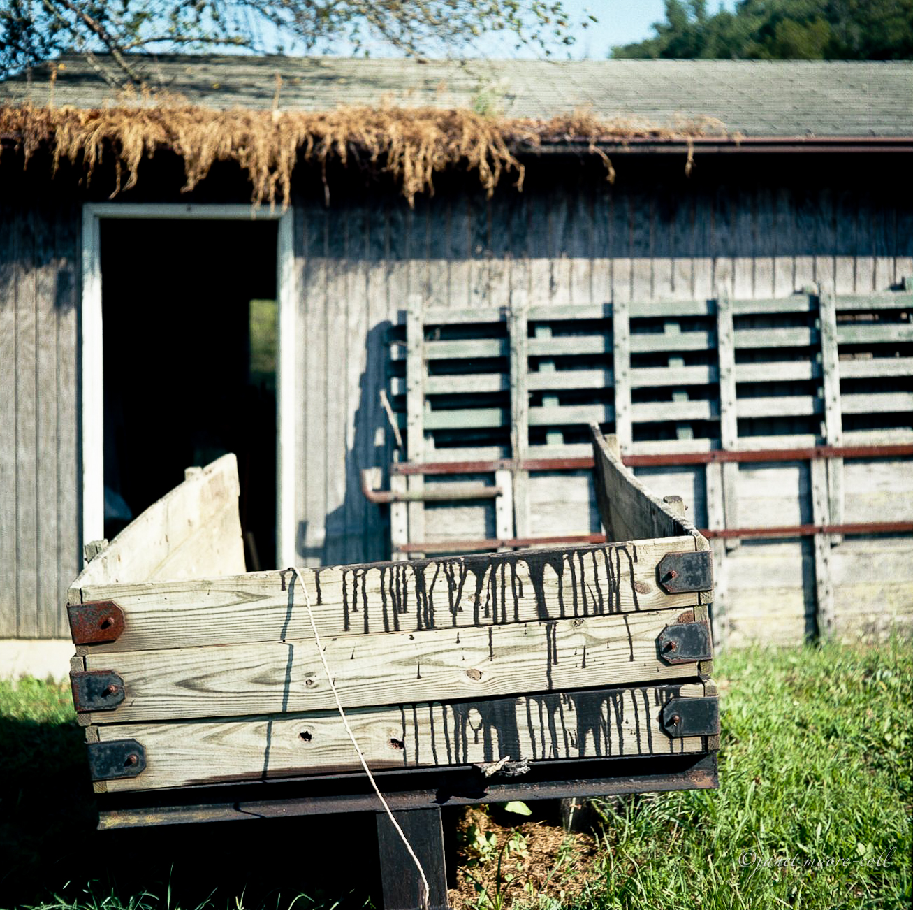
Van Buren Furnace No. 1 - View from loading ramp, Aug. 27, 1963
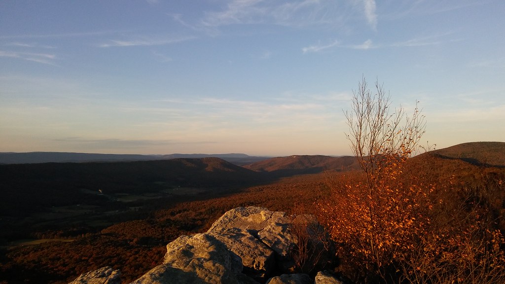
Big Schloss: North view

View from Boonesboro Washington Monument

The view around the pond at Winchester Medical Center

DSC00996 006 Max Spitzer Overlook view
IMG_2034.JPG

The view around the pond at Winchester Medical Center

View from Boonesboro Washington Monument

The view around the pond at Winchester Medical Center

View from Black Rock

Big Schloss: Southeast view

Late Fall in George Washington Forest, Virginia
Trout Run Valley

Lost River, McCauley, West Virginia

Sunset At 10 Feet
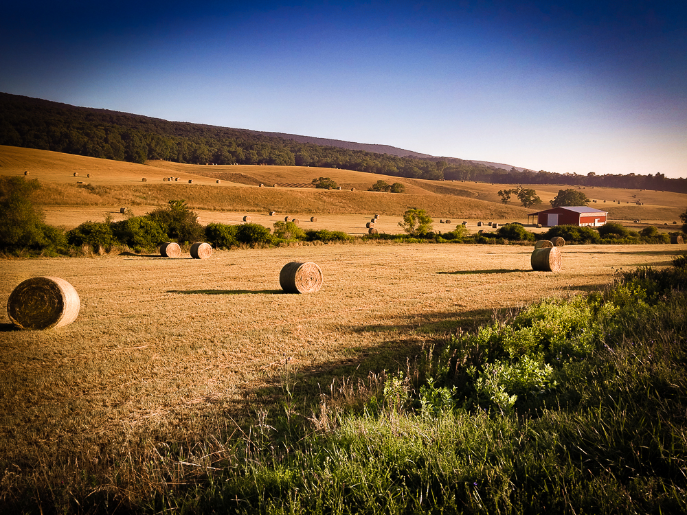
Hay Bales Sperrys Run

Sunrise at White Rock Cliff
Camp Wagon. Columbia Furnace VA, August 2011

Highway Bridge

trout run valley, wv

Clouds rolling through the gap

Beauty On The River

Moon Through Trees

Big Schloss

halfmoon run

Kimsey Run Lake

Kimsey Run Lake

Red hill landscape
Topographic Map of Thorne Bottom Rd, Lost City, WV, USA
Find elevation by address:

Places near Thorne Bottom Rd, Lost City, WV, USA:
5584 Thorne Bottom Rd
5374 Thorne Bottom Rd
4676 Thorne Bottom Rd
40 Oak Ridge
449 Walter Bell Ln
Trout Run Rd, Wardensville, WV, USA
9774 Trout Run Rd
Big Schloss
Sugar Knob
Black Oak Ridge
1343 Kern Springs Rd
3, VA, USA
Grover Rd, Edinburg, VA, USA
Frogtown Ln, Edinburg, VA, USA
581 Hunter Rd
Stoney Creek Road
2155 Rittenour Rd
Hunter Road
3933 Zepp Rd
588 Turtle Hill Ln
Recent Searches:
- Elevation of Corso Fratelli Cairoli, 35, Macerata MC, Italy
- Elevation of Tallevast Rd, Sarasota, FL, USA
- Elevation of 4th St E, Sonoma, CA, USA
- Elevation of Black Hollow Rd, Pennsdale, PA, USA
- Elevation of Oakland Ave, Williamsport, PA, USA
- Elevation of Pedrógão Grande, Portugal
- Elevation of Klee Dr, Martinsburg, WV, USA
- Elevation of Via Roma, Pieranica CR, Italy
- Elevation of Tavkvetili Mountain, Georgia
- Elevation of Hartfords Bluff Cir, Mt Pleasant, SC, USA