Elevation of 40 Oak Ridge, Lost City, WV, USA
Location: United States > West Virginia > Hardy County > Lost River > Lost City >
Longitude: -78.742196
Latitude: 38.9705411
Elevation: 569m / 1867feet
Barometric Pressure: 95KPa
Elevation Map:
Satellite Map:
Related Photos:
Lost River

The view around the pond at Winchester Medical Center

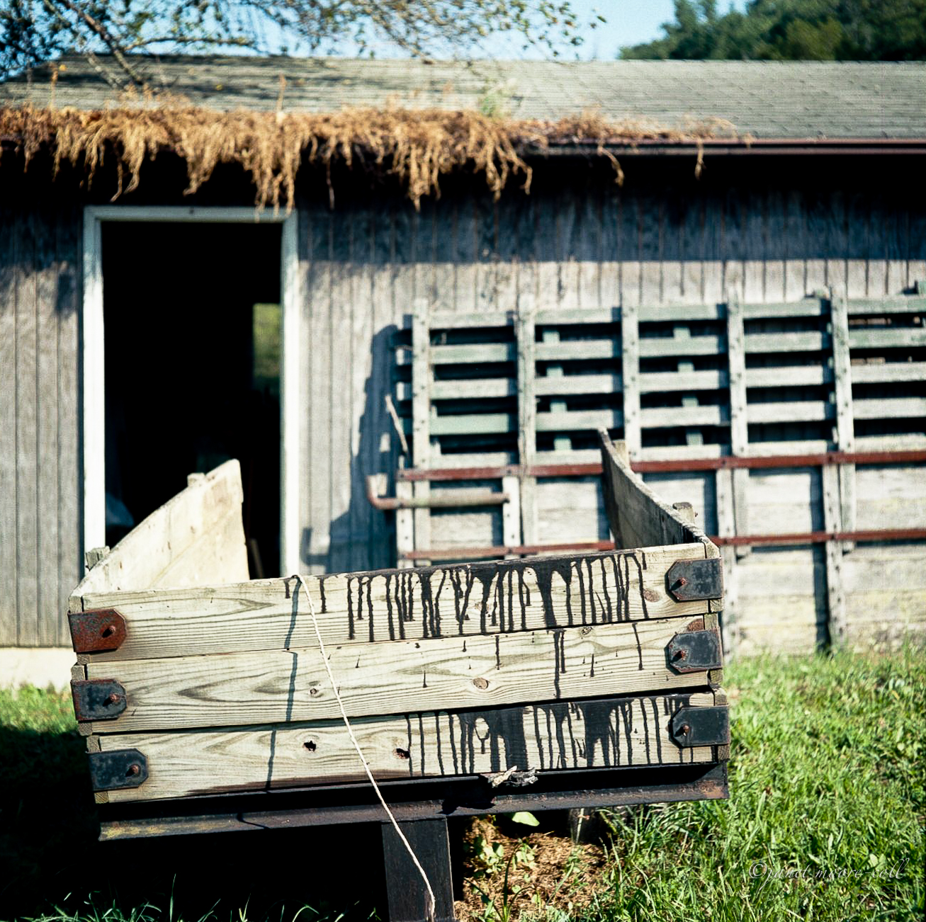
Van Buren Furnace No. 1 - View from loading ramp, Aug. 27, 1963

The view around the pond at Winchester Medical Center
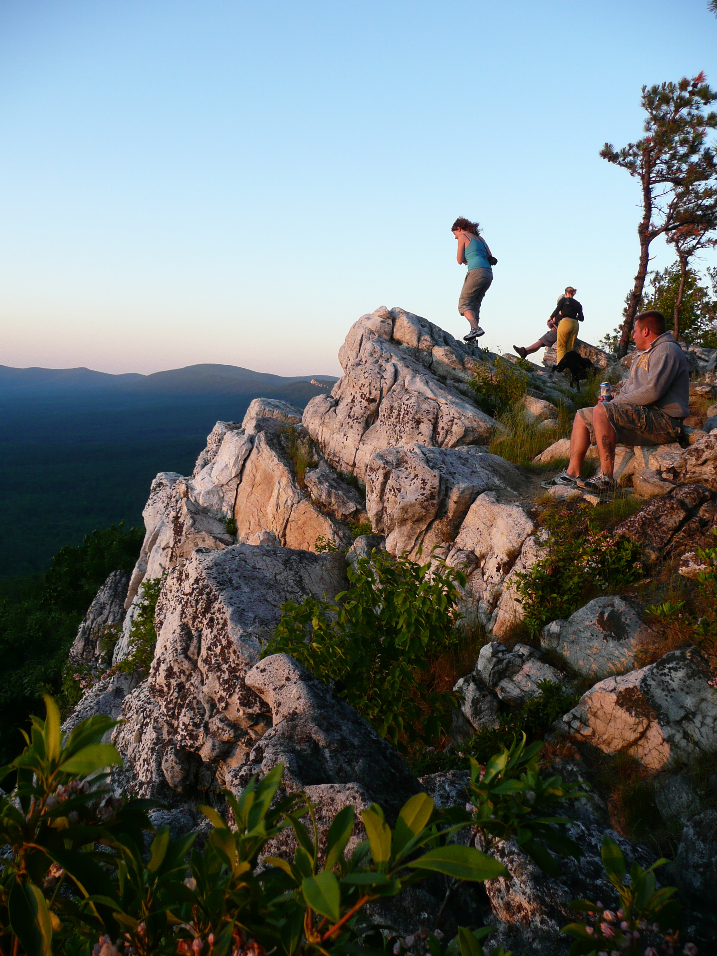
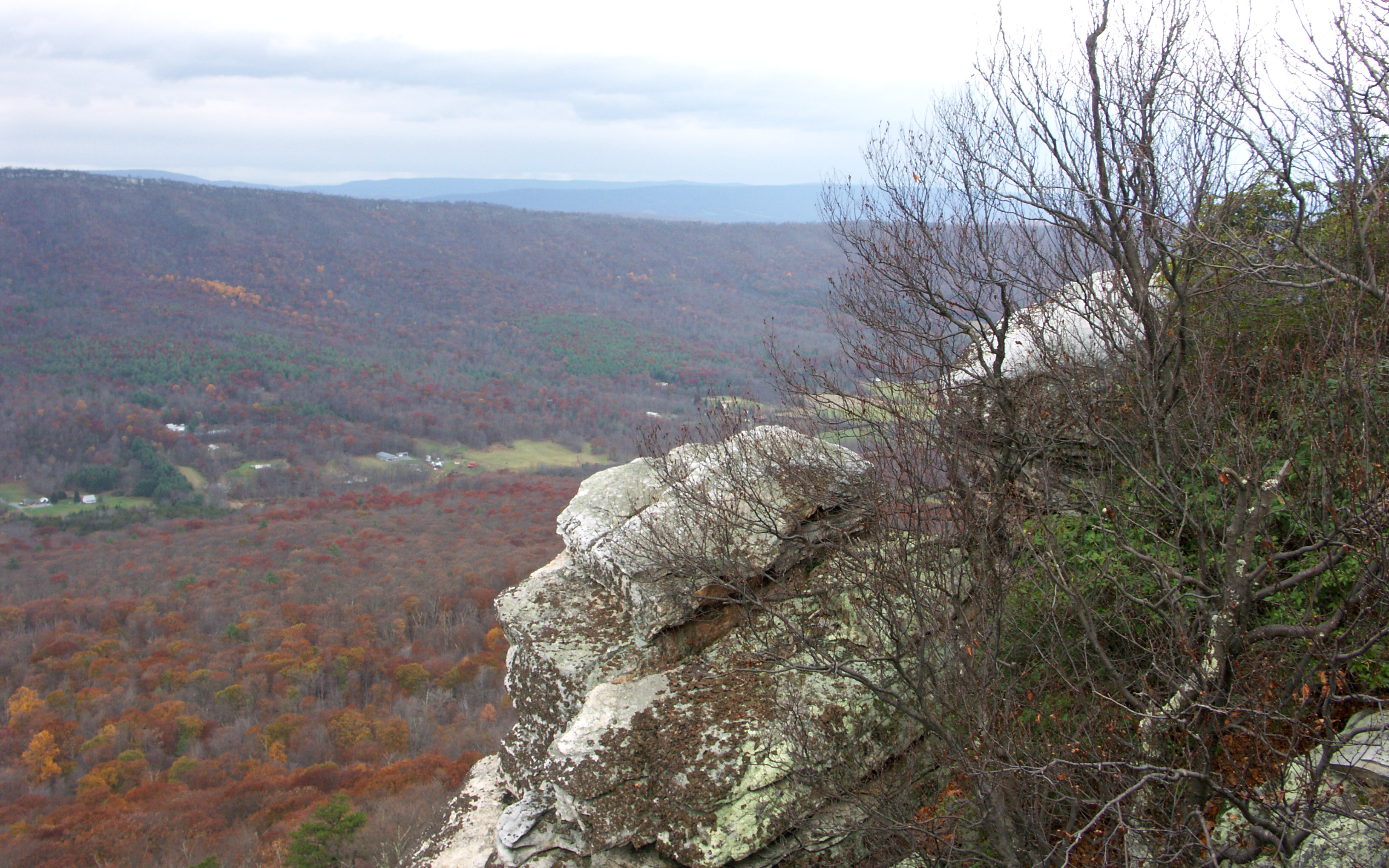
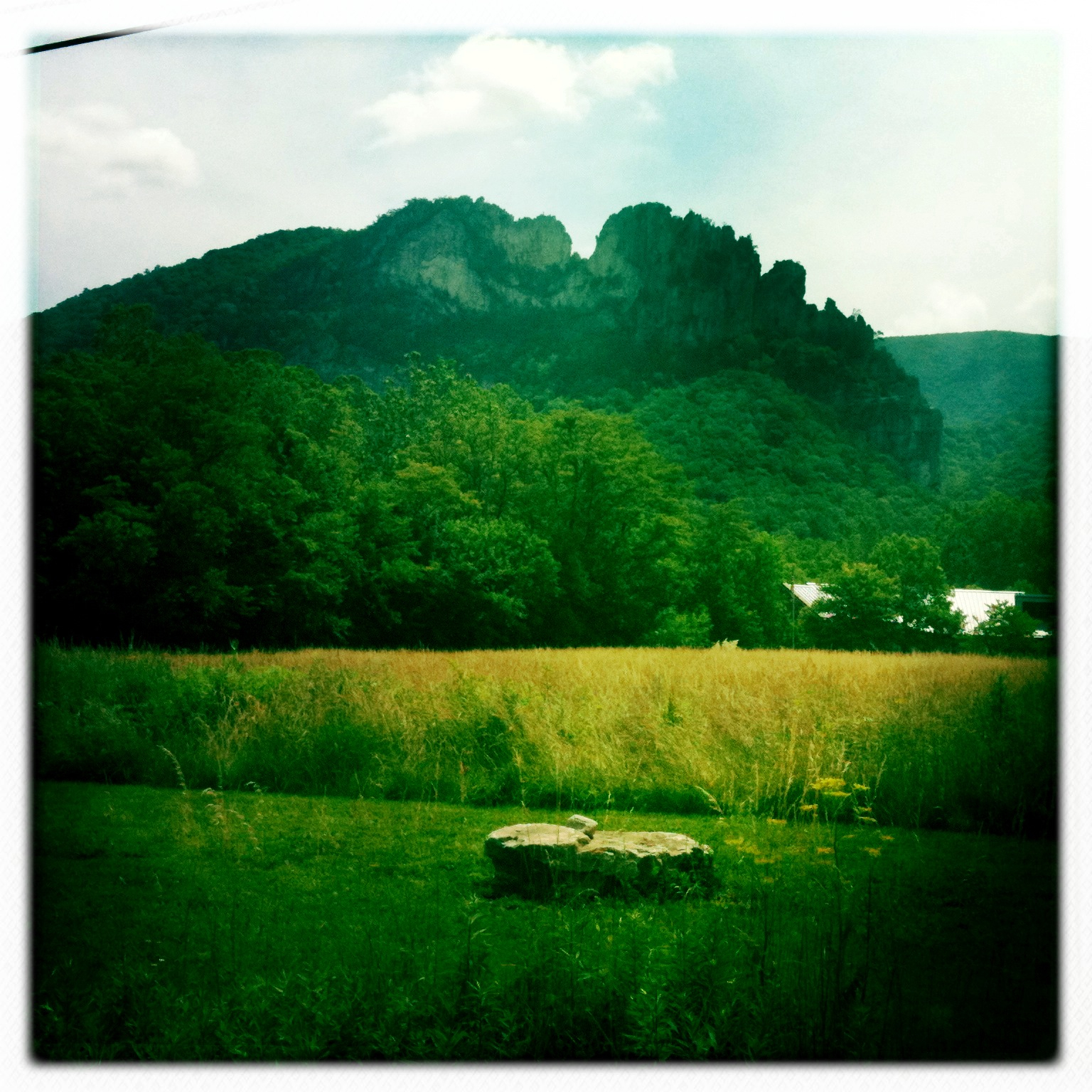
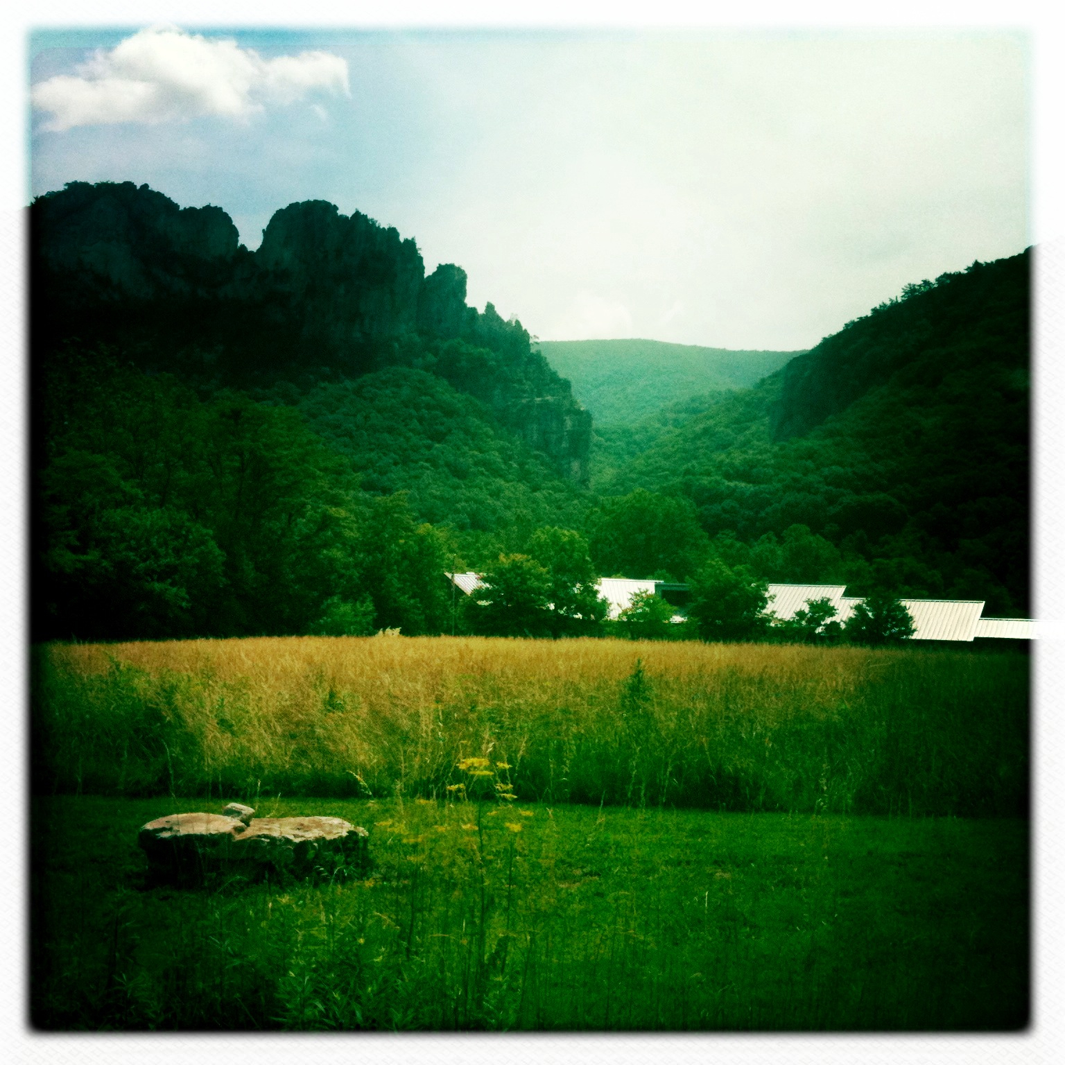
taking in the cliff view
Big Schloss View 3
DSC01432 027 View
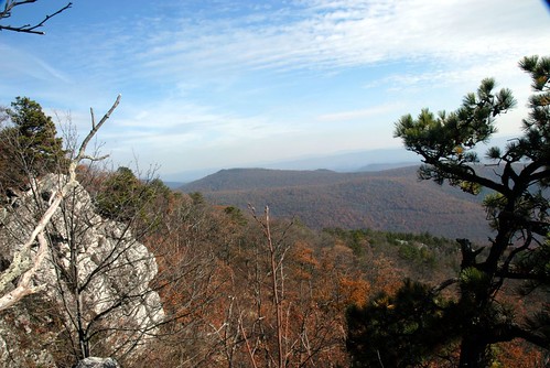
Big Schloss View 1
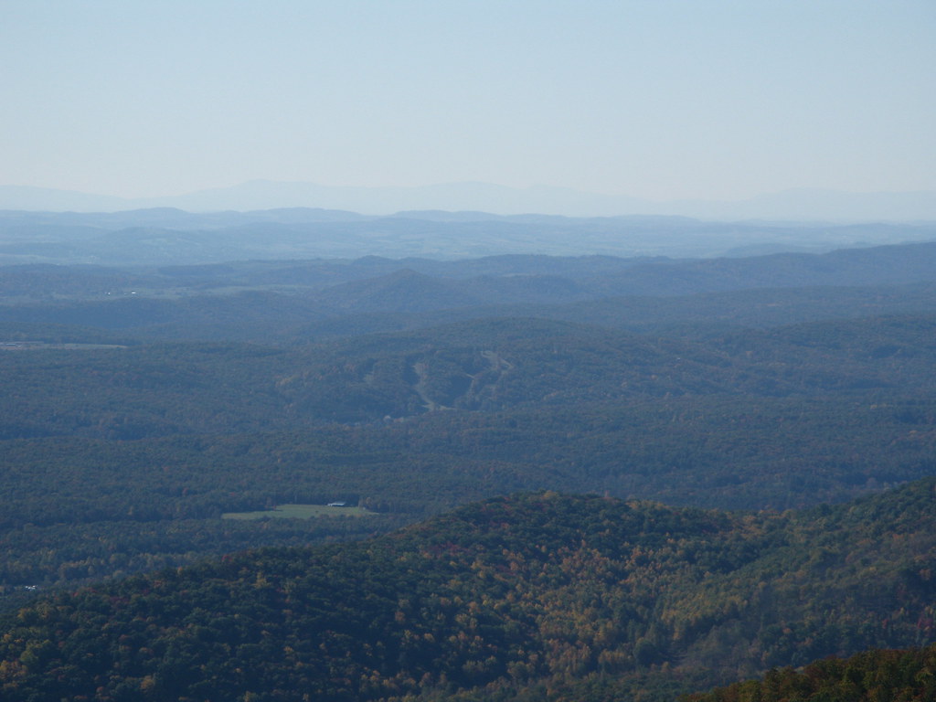
Ridge View
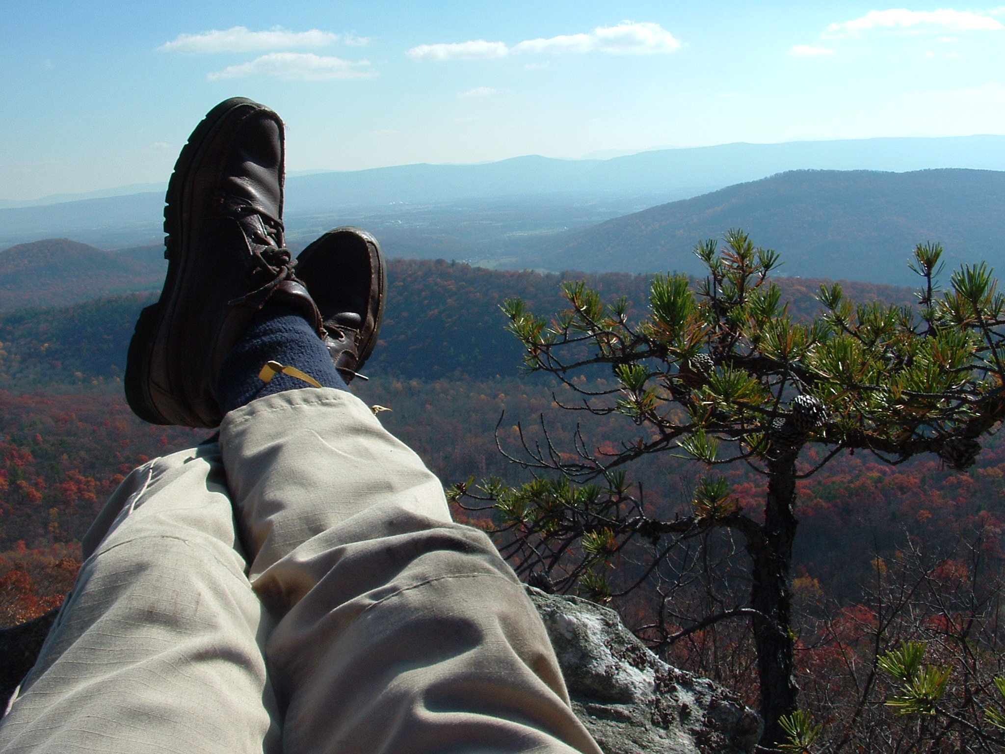
Relaxed on Tibbet Knob
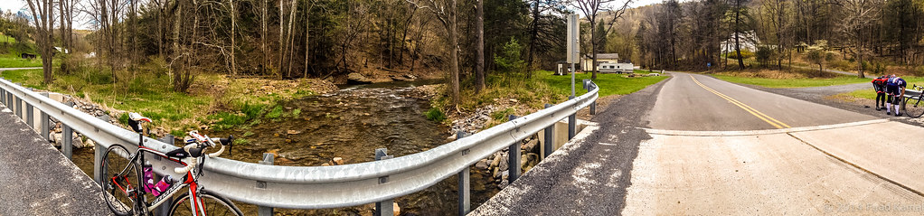
catching the view while we stop to fix a flat

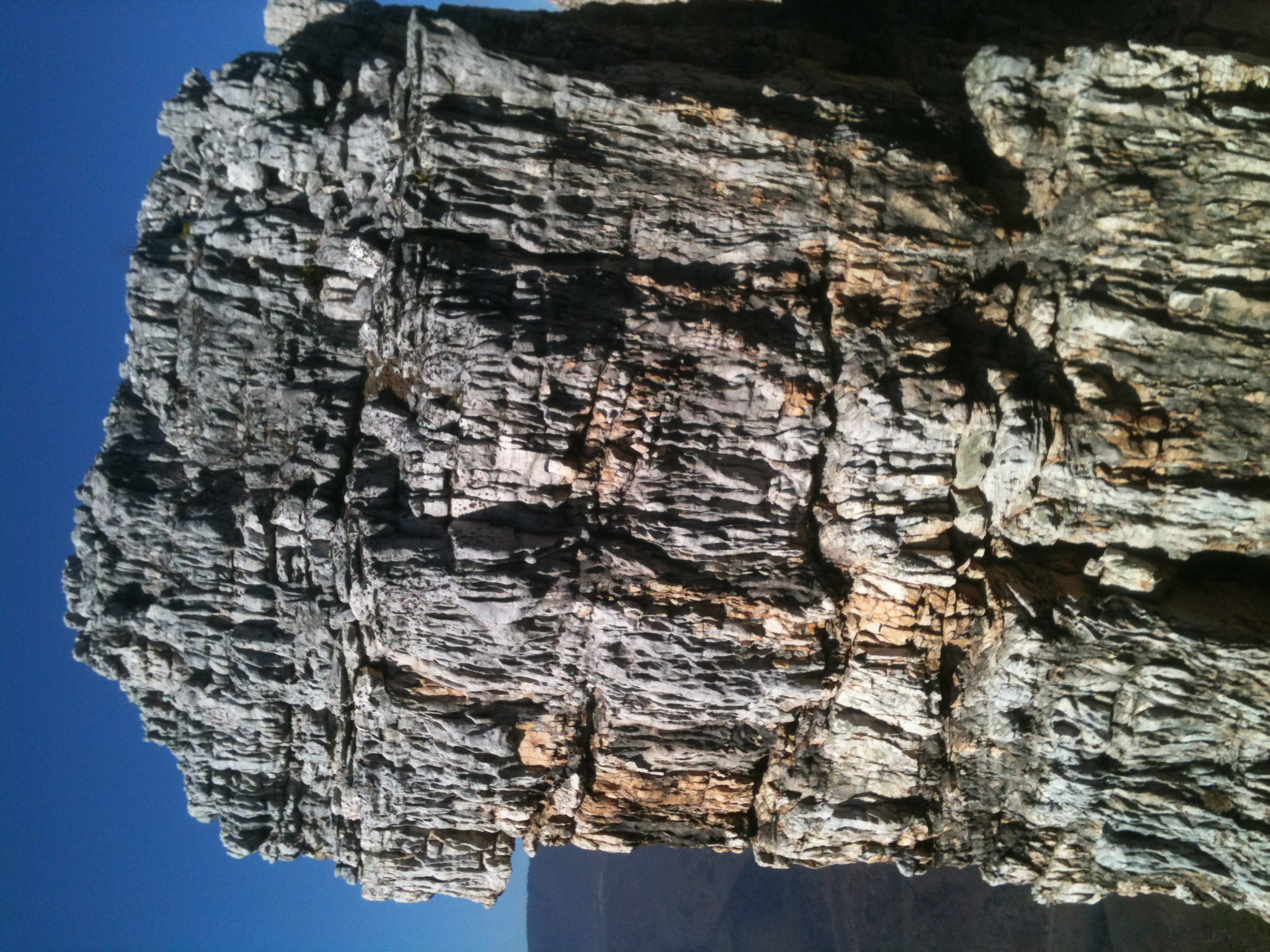
View from Black Rock

The view around the pond at Winchester Medical Center

View from Boonesboro Washington Monument

View from Black Rock

The view around the pond at Winchester Medical Center

The view around the pond at Winchester Medical Center

Late Fall in George Washington Forest, Virginia

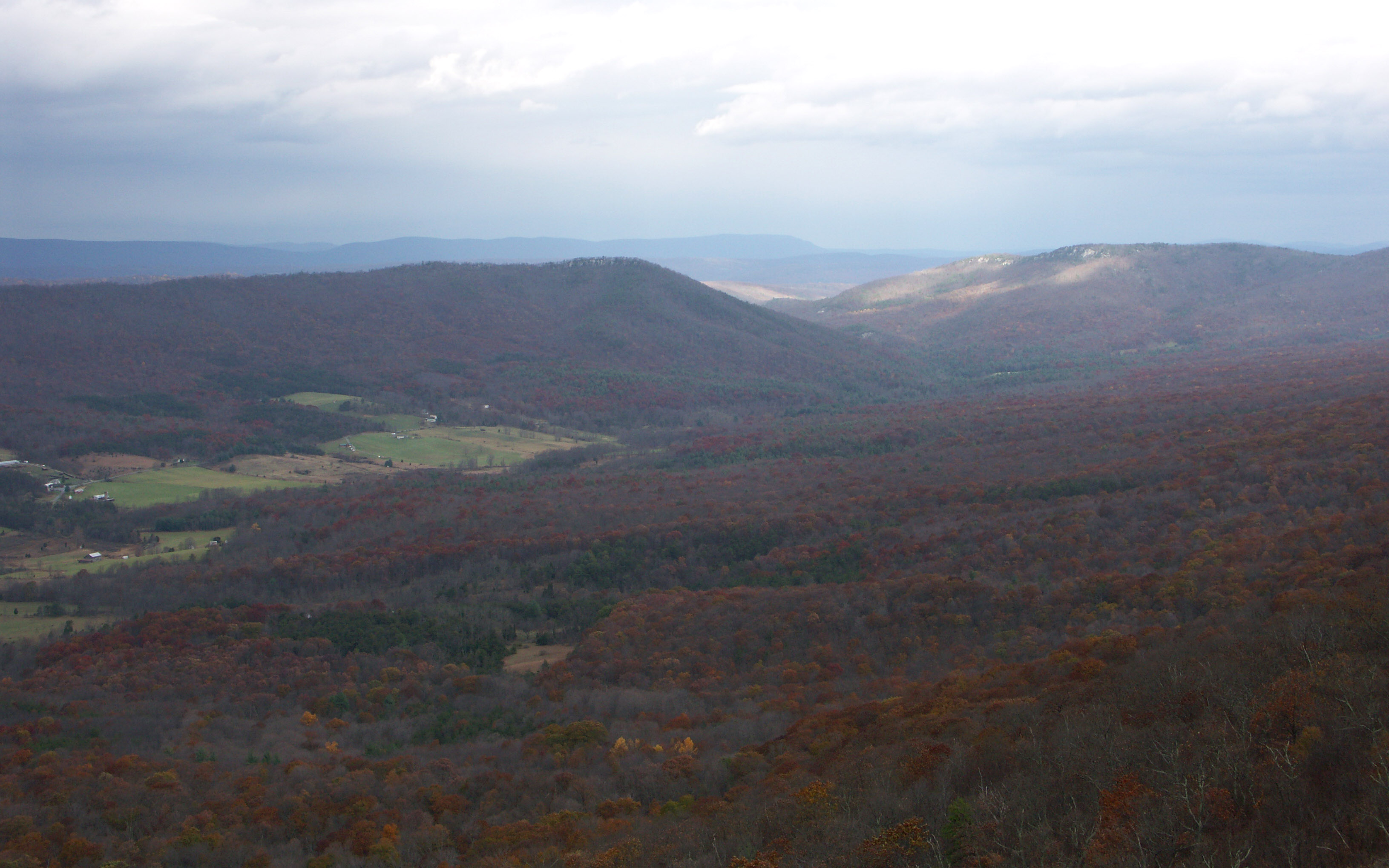
Trout Run Valley

The view around the pond at Winchester Medical Center
Distant view of Bryce Mountain Resort
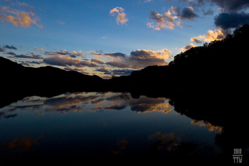
Sunset At 10 Feet

trout run valley, wv
Camera Roll-263
Camera Roll-264

Sunrise at White Rock Cliff
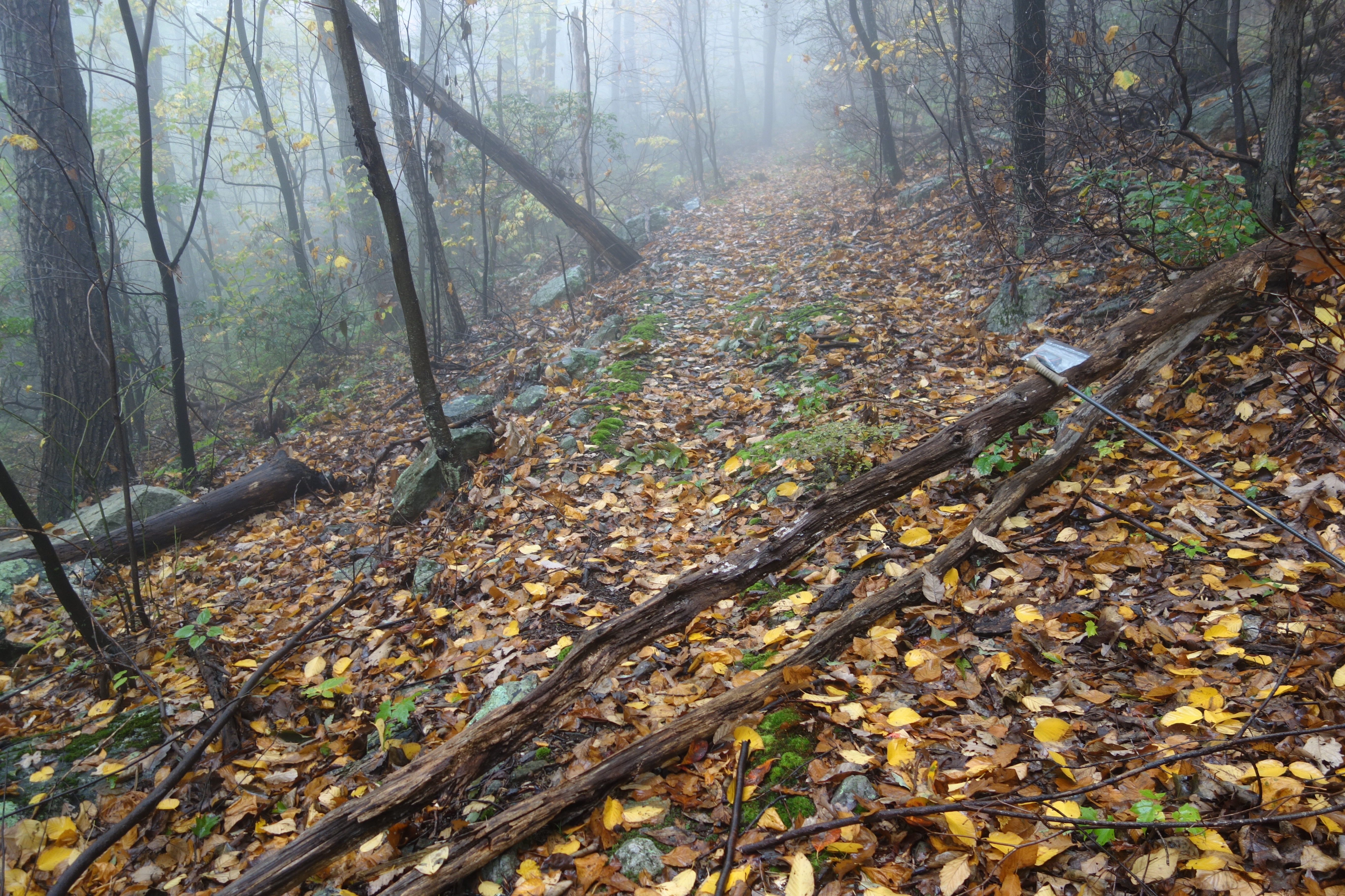
Shrouded By The Brush

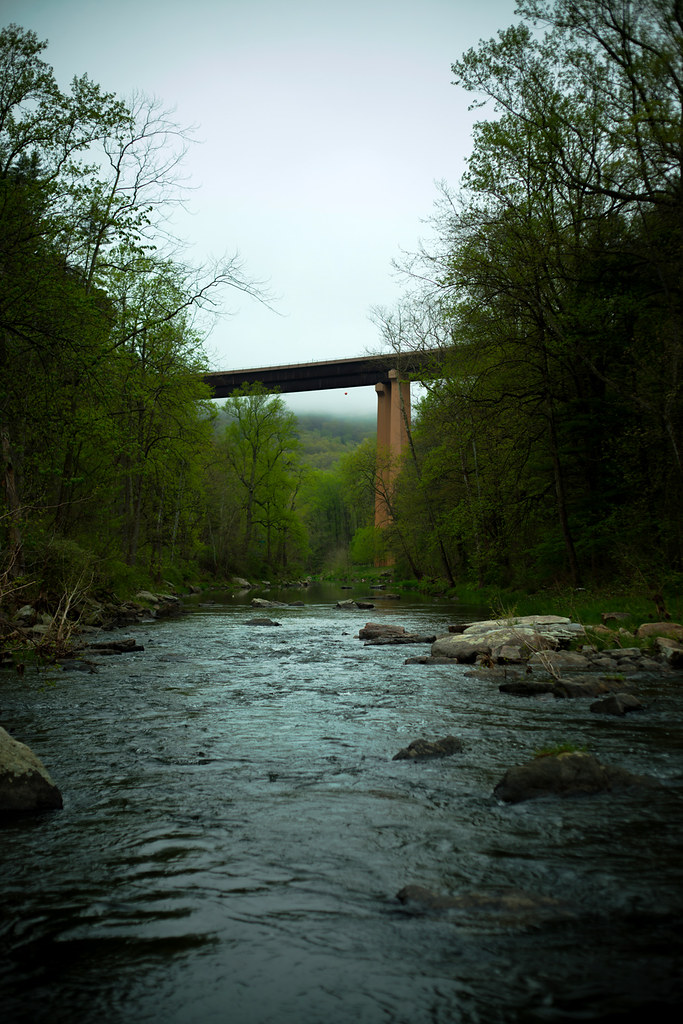
The First Bridge
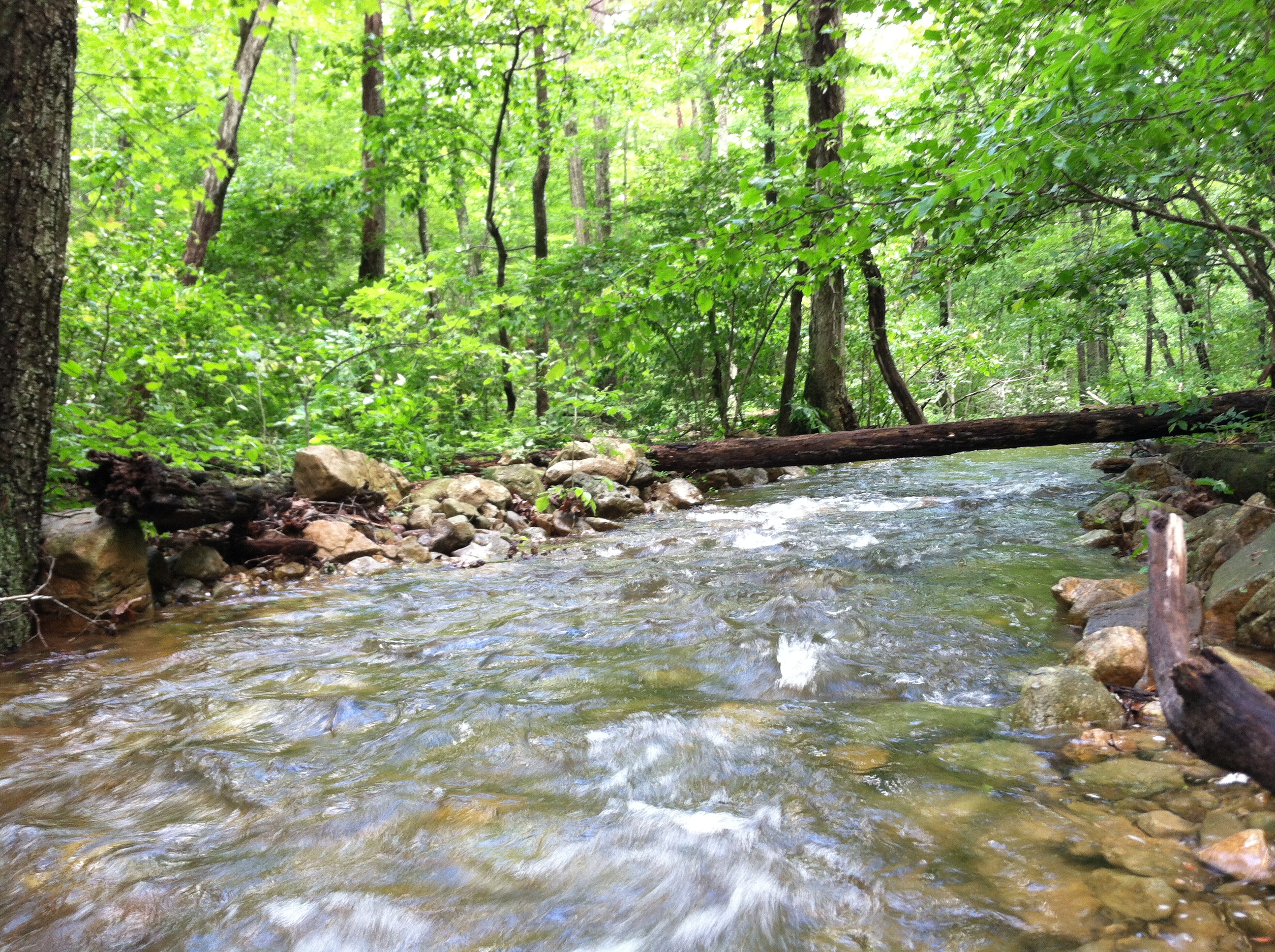
Screamin' Stream
Moon Through Trees
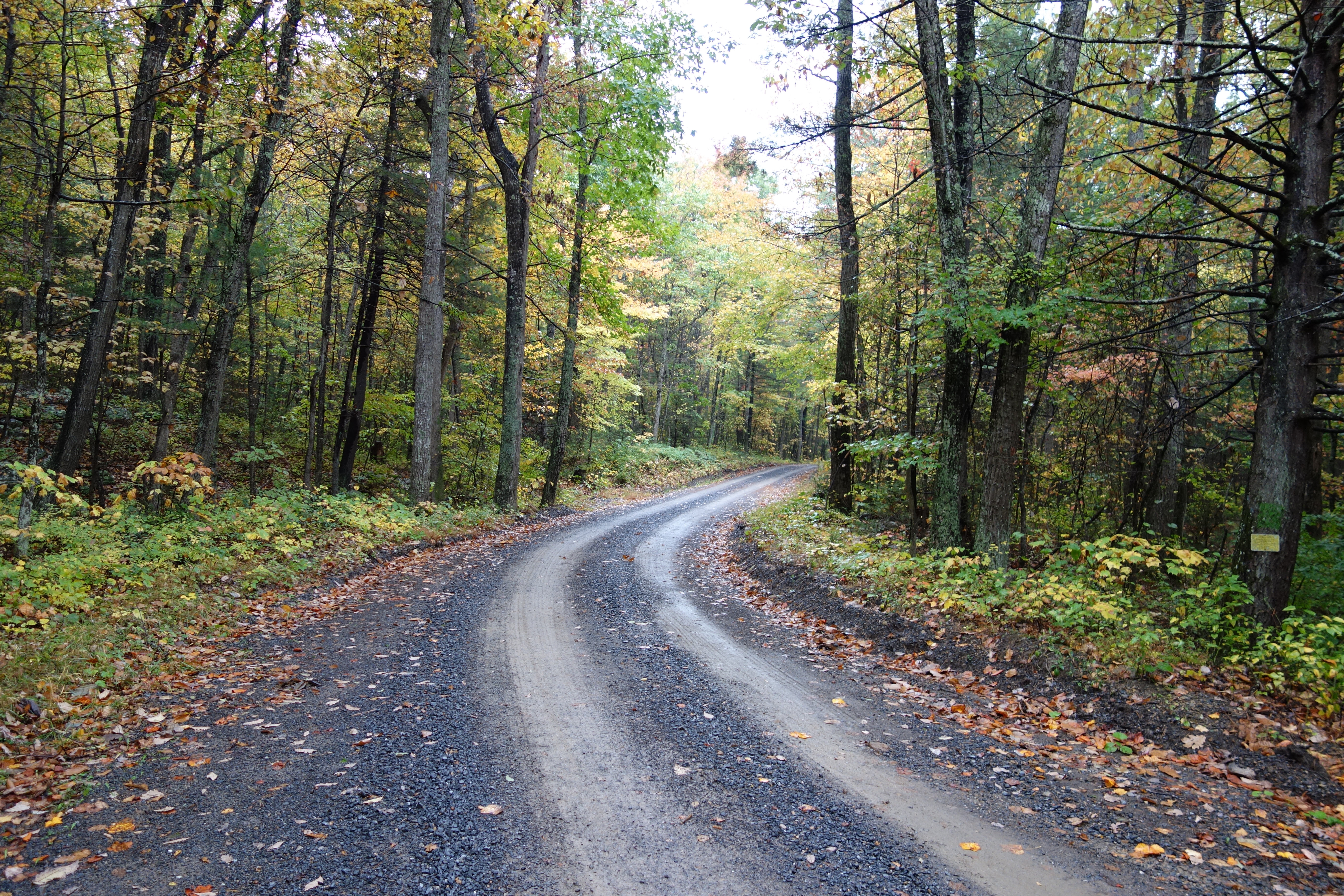
DSC00594 137 TT jct Gander Rock Rd
DSC00974 005 Utility Tr near Squirrel Gap Tr Old Rte 55

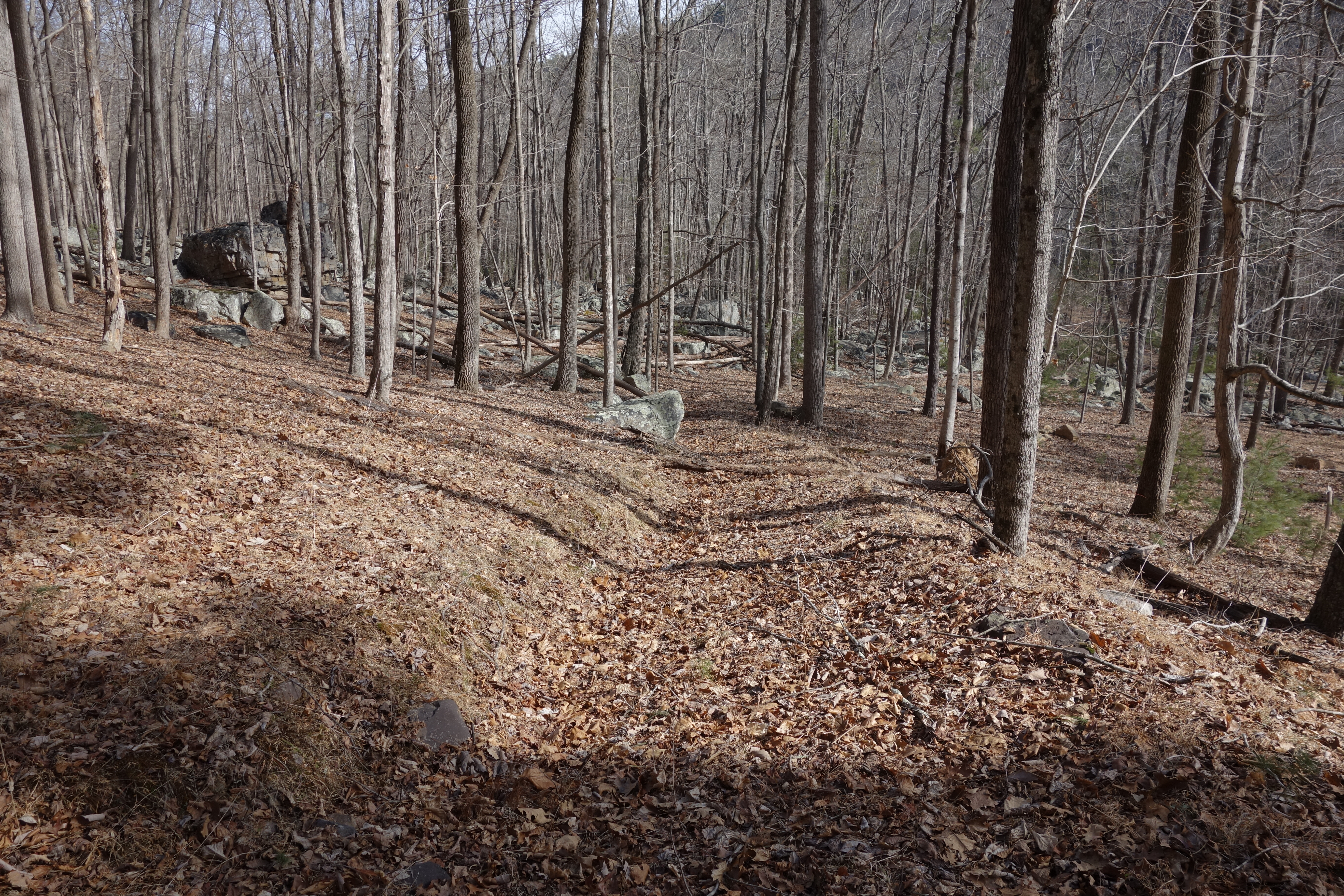
DSC01002 008 Blowdown

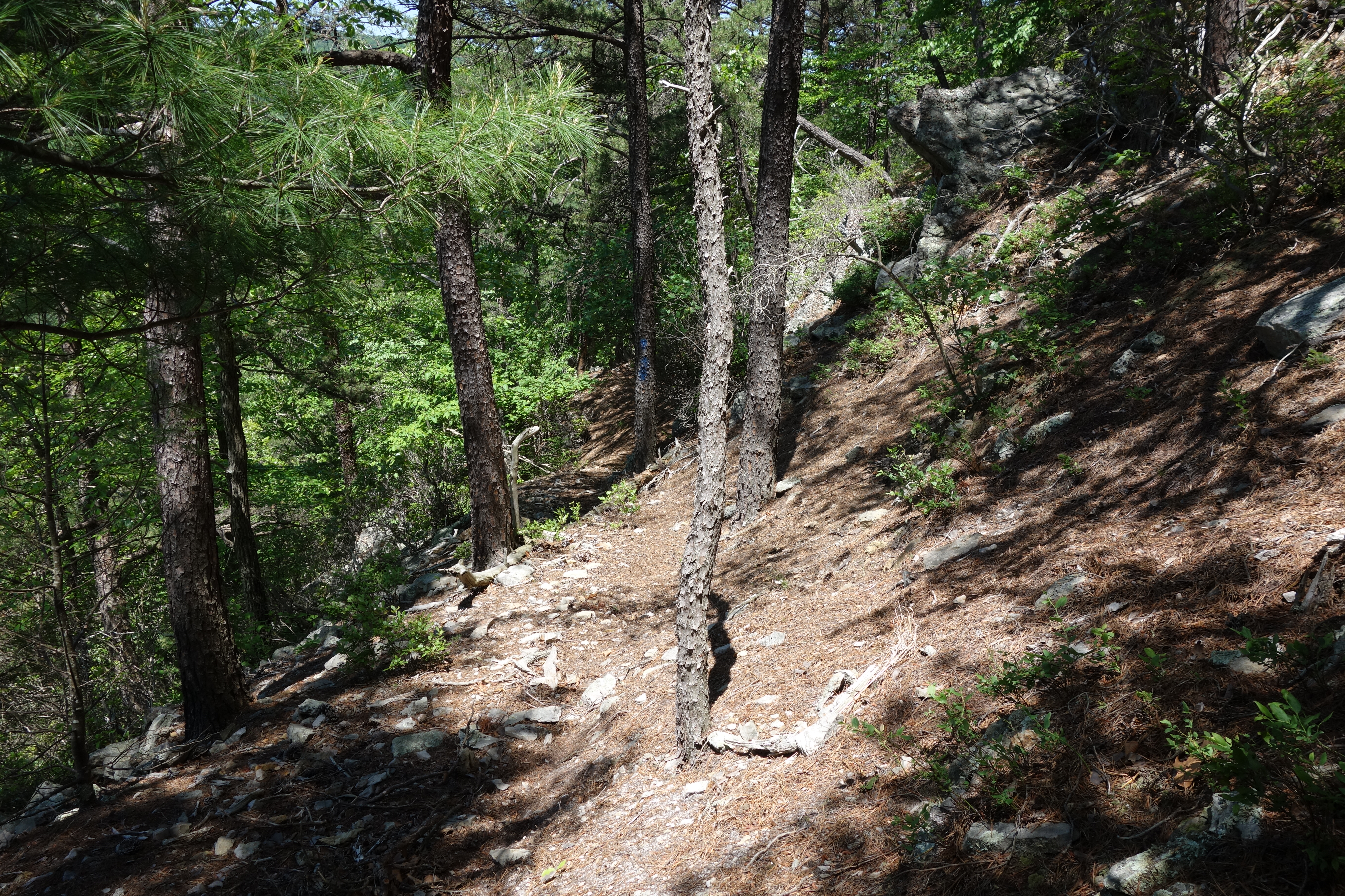
This Way...

DSC01039 008 Stream xing
DSC00587 135 TT jct Gander Rock Rd and Waites Run Rd
Cedar Creek
DSC00604 140 TT BD
Camp Wagon. Columbia Furnace VA, August 2011

Autumn Ridge
The Chimney itself
Topographic Map of 40 Oak Ridge, Lost City, WV, USA
Find elevation by address:

Places near 40 Oak Ridge, Lost City, WV, USA:
4676 Thorne Bottom Rd
5374 Thorne Bottom Rd
5584 Thorne Bottom Rd
5706 Thorne Bottom Rd
449 Walter Bell Ln
9774 Trout Run Rd
Trout Run Rd, Wardensville, WV, USA
Big Schloss
Black Oak Ridge
Sugar Knob
1343 Kern Springs Rd
3, VA, USA
Frogtown Ln, Edinburg, VA, USA
Grover Rd, Edinburg, VA, USA
Stoney Creek Road
2155 Rittenour Rd
581 Hunter Rd
Hunter Road
3933 Zepp Rd
Motel Drive
Recent Searches:
- Elevation of Corso Fratelli Cairoli, 35, Macerata MC, Italy
- Elevation of Tallevast Rd, Sarasota, FL, USA
- Elevation of 4th St E, Sonoma, CA, USA
- Elevation of Black Hollow Rd, Pennsdale, PA, USA
- Elevation of Oakland Ave, Williamsport, PA, USA
- Elevation of Pedrógão Grande, Portugal
- Elevation of Klee Dr, Martinsburg, WV, USA
- Elevation of Via Roma, Pieranica CR, Italy
- Elevation of Tavkvetili Mountain, Georgia
- Elevation of Hartfords Bluff Cir, Mt Pleasant, SC, USA