Elevation of Thorndale, TX, USA
Location: United States > Texas > Milam County >
Longitude: -97.205548
Latitude: 30.6138101
Elevation: 137m / 449feet
Barometric Pressure: 100KPa
Elevation Map:
Satellite Map:
Related Photos:

Striped Sparrow
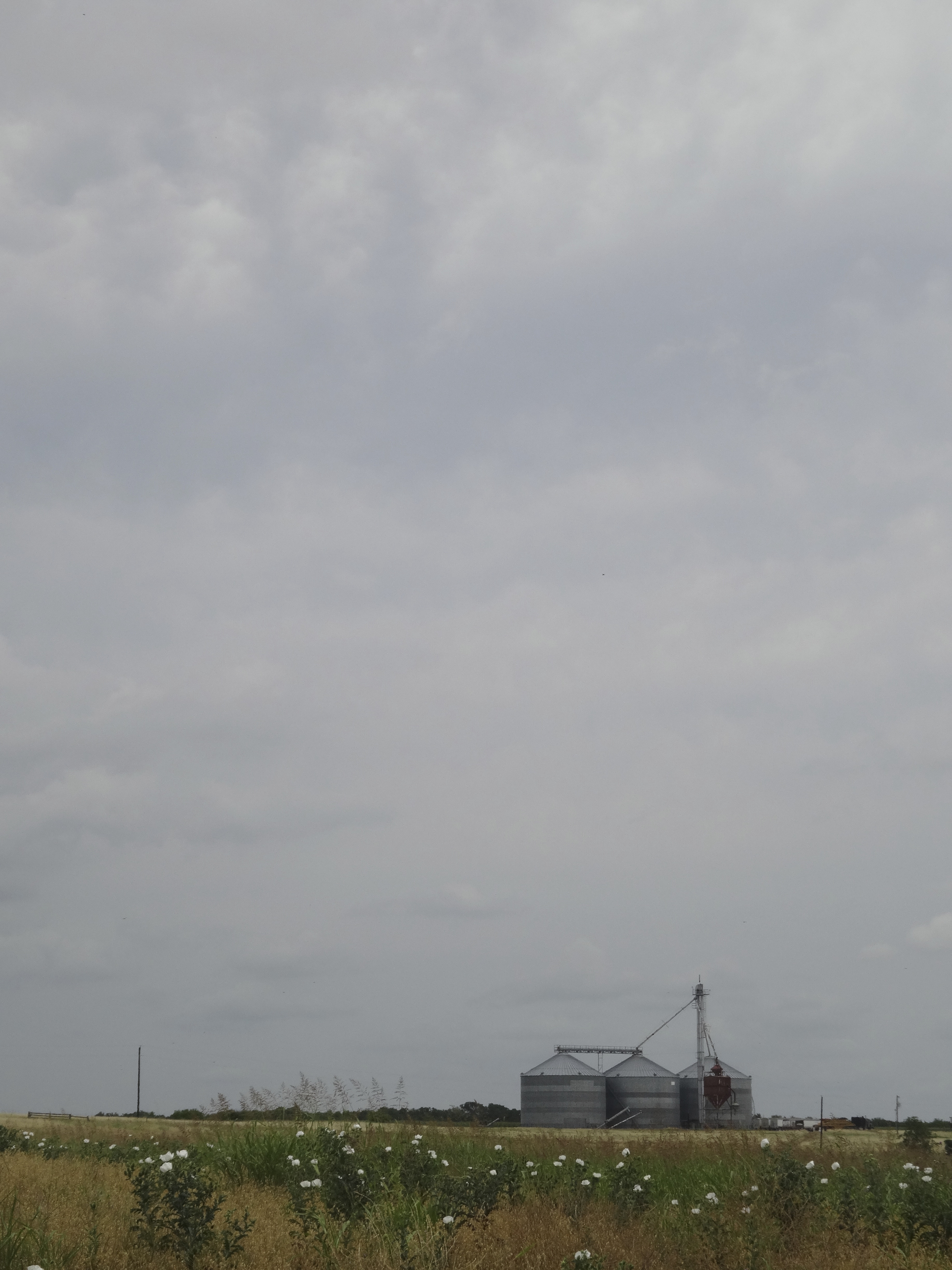
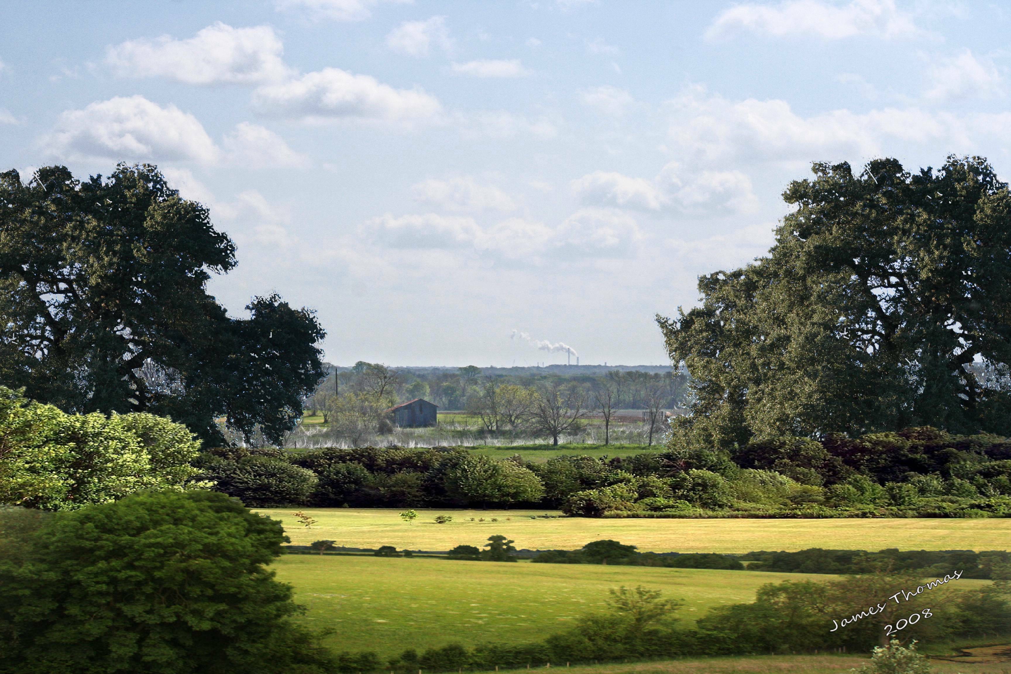
View from the site
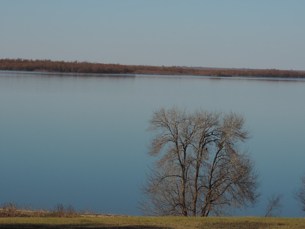
Lake Granger tree

Lake Granger vulture
DSCN2247.JPG

Flipside 2014 - By Lurko's Beard
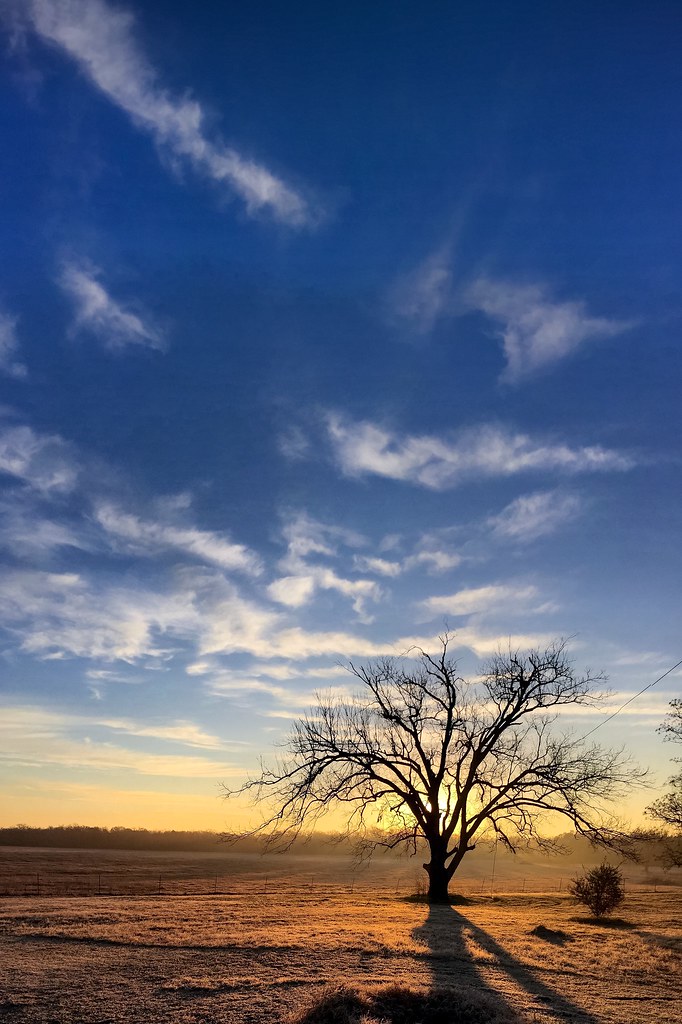
Texas Sunrise
Alcoa Landscape

Lincoln's Sparrow
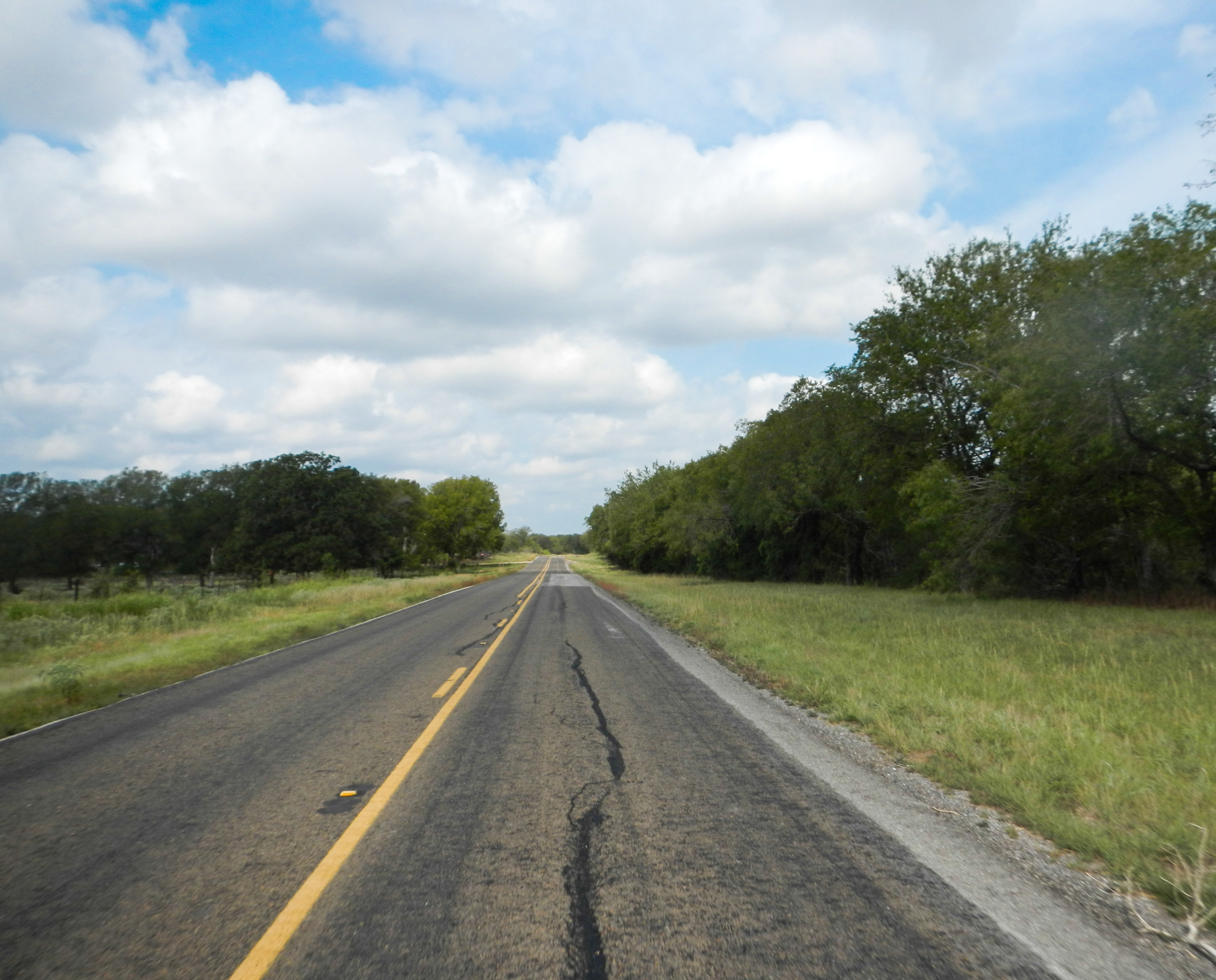
Lonely Road
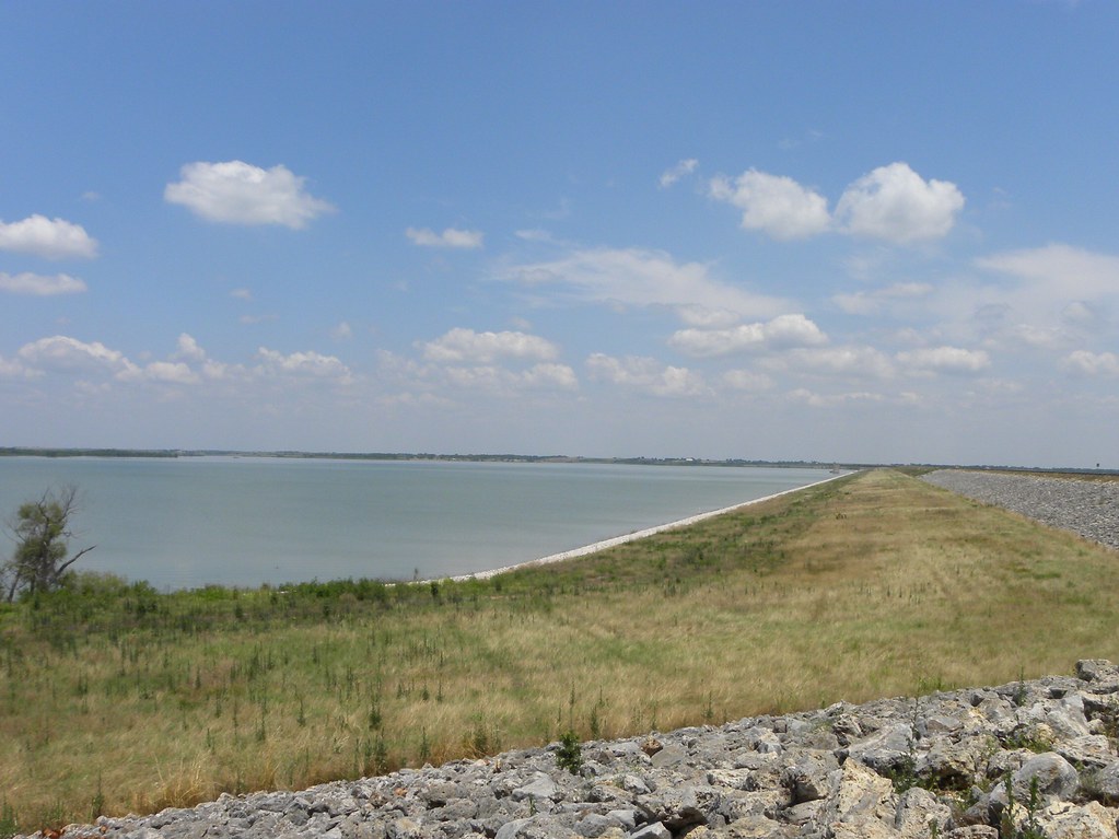
Granger dam

Visiting Pep on her ranch north of Austin
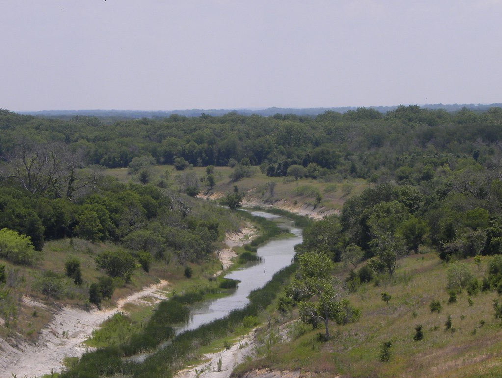
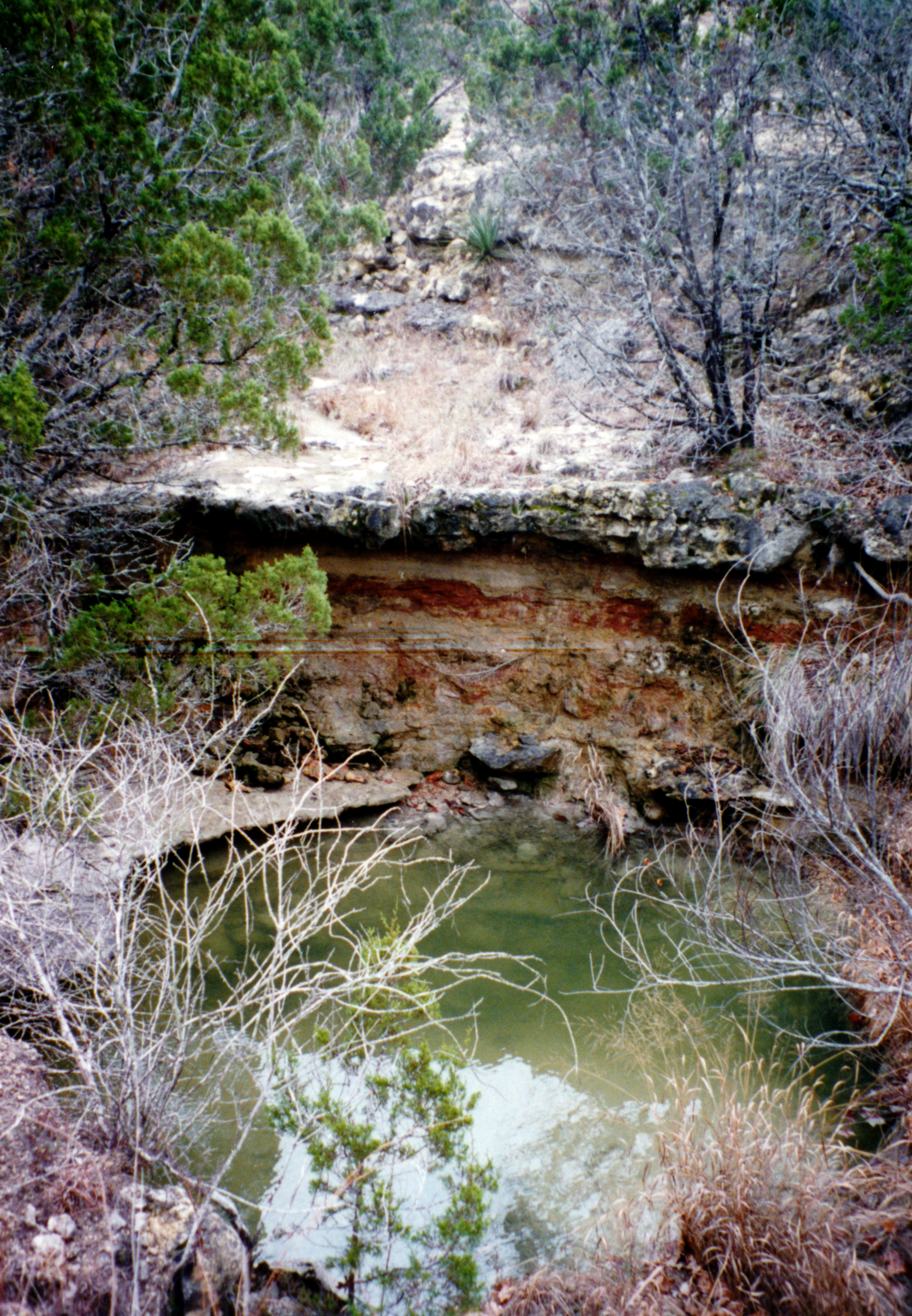
San Gabriel River
DSCN2241.JPG
Visiting Pep on her ranch north of Austin
DSCN2220.JPG

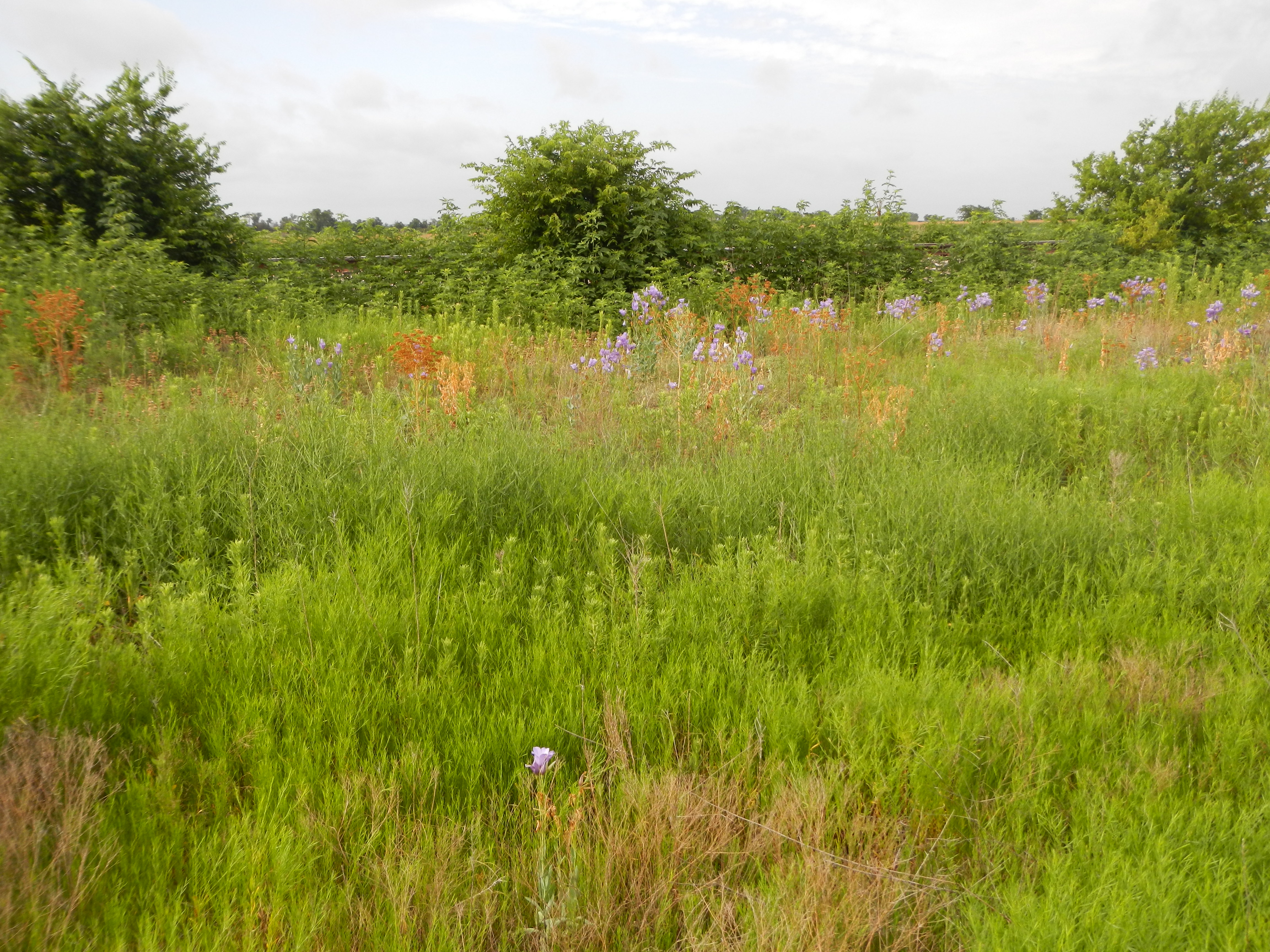
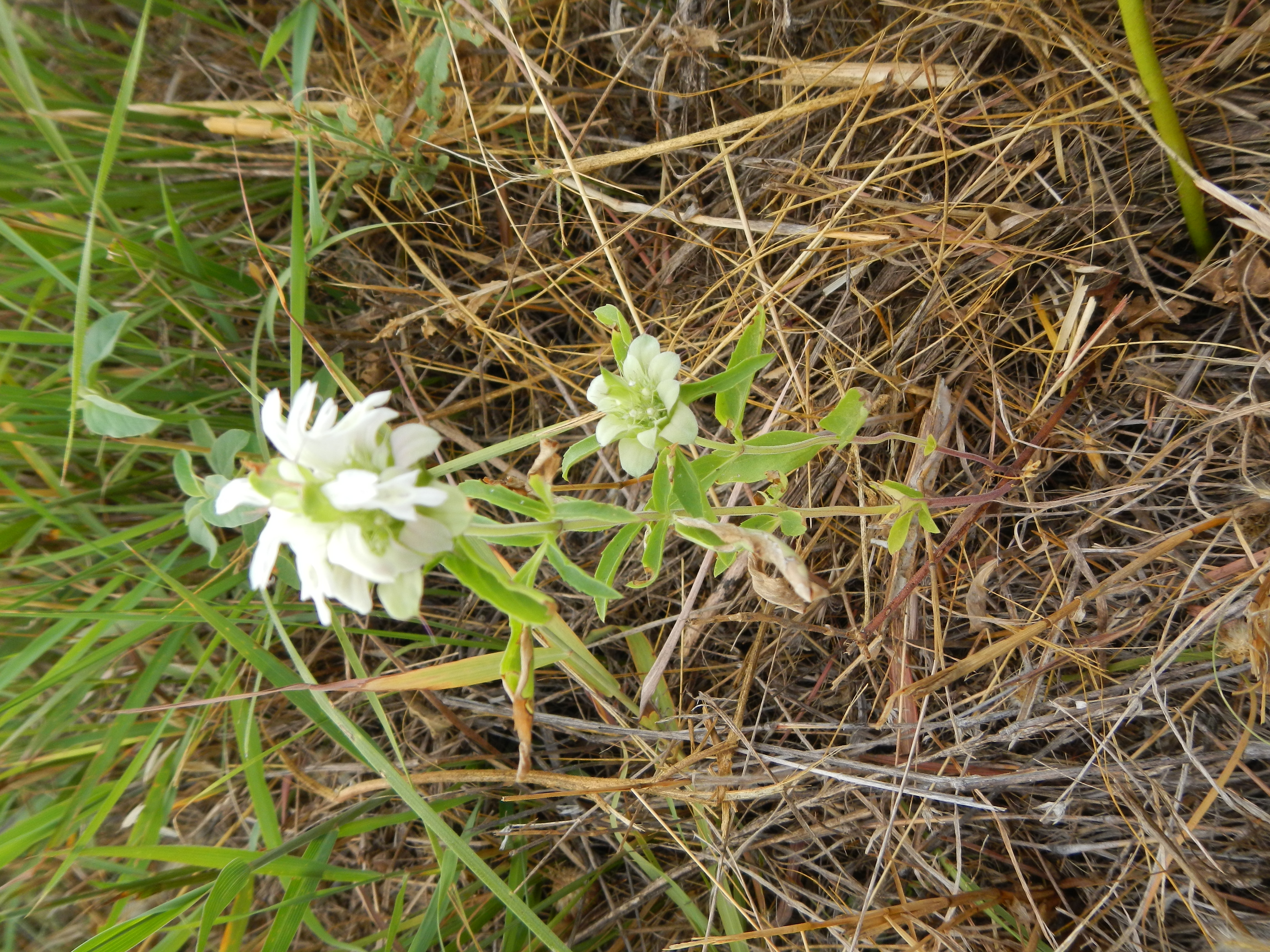
Apache Passtures land recon

Apache Passtures land recon

Apache Passtures land recon

Apache Passtures land recon

Sky Trees Crops
Topographic Map of Thorndale, TX, USA
Find elevation by address:

Places in Thorndale, TX, USA:
Places near Thorndale, TX, USA:
N Main St, Thorndale, TX, USA
487 Fm486
First Baptist Church
Sydney Boulevard
FM, Thorndale, TX, USA
FM, Thorndale, TX, USA
S Bounds St, Thrall, TX, USA
Thrall
Co Rd, Taylor, TX, USA
1800 Co Rd 472
16194 Fm487
55 Co Rd, Taylor, TX, USA
Granger Dam Rd, Granger, TX, USA
FM, Rockdale, TX, USA
3015 Co Rd 318
500 Gravel Pit Rd
801 Thorndale Rd
801 Thorndale Rd
801 Thorndale Rd
Taylor
Recent Searches:
- Elevation of Corso Fratelli Cairoli, 35, Macerata MC, Italy
- Elevation of Tallevast Rd, Sarasota, FL, USA
- Elevation of 4th St E, Sonoma, CA, USA
- Elevation of Black Hollow Rd, Pennsdale, PA, USA
- Elevation of Oakland Ave, Williamsport, PA, USA
- Elevation of Pedrógão Grande, Portugal
- Elevation of Klee Dr, Martinsburg, WV, USA
- Elevation of Via Roma, Pieranica CR, Italy
- Elevation of Tavkvetili Mountain, Georgia
- Elevation of Hartfords Bluff Cir, Mt Pleasant, SC, USA