Elevation of Co Rd, Thrall, TX, USA
Location: United States > Texas > Williamson County > Thrall >
Longitude: -97.261039
Latitude: 30.4855664
Elevation: 163m / 535feet
Barometric Pressure: 99KPa
Elevation Map:
Satellite Map:
Related Photos:

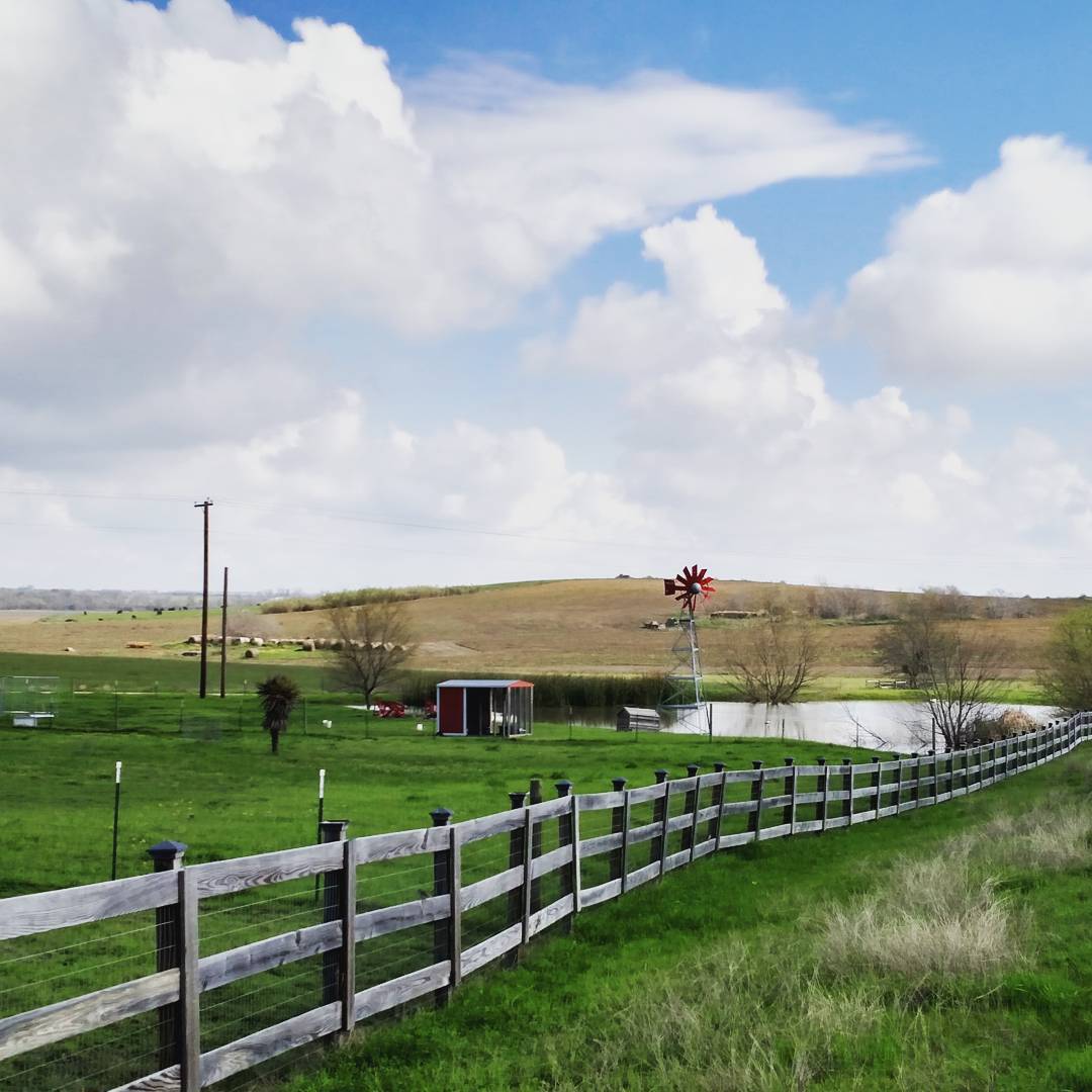
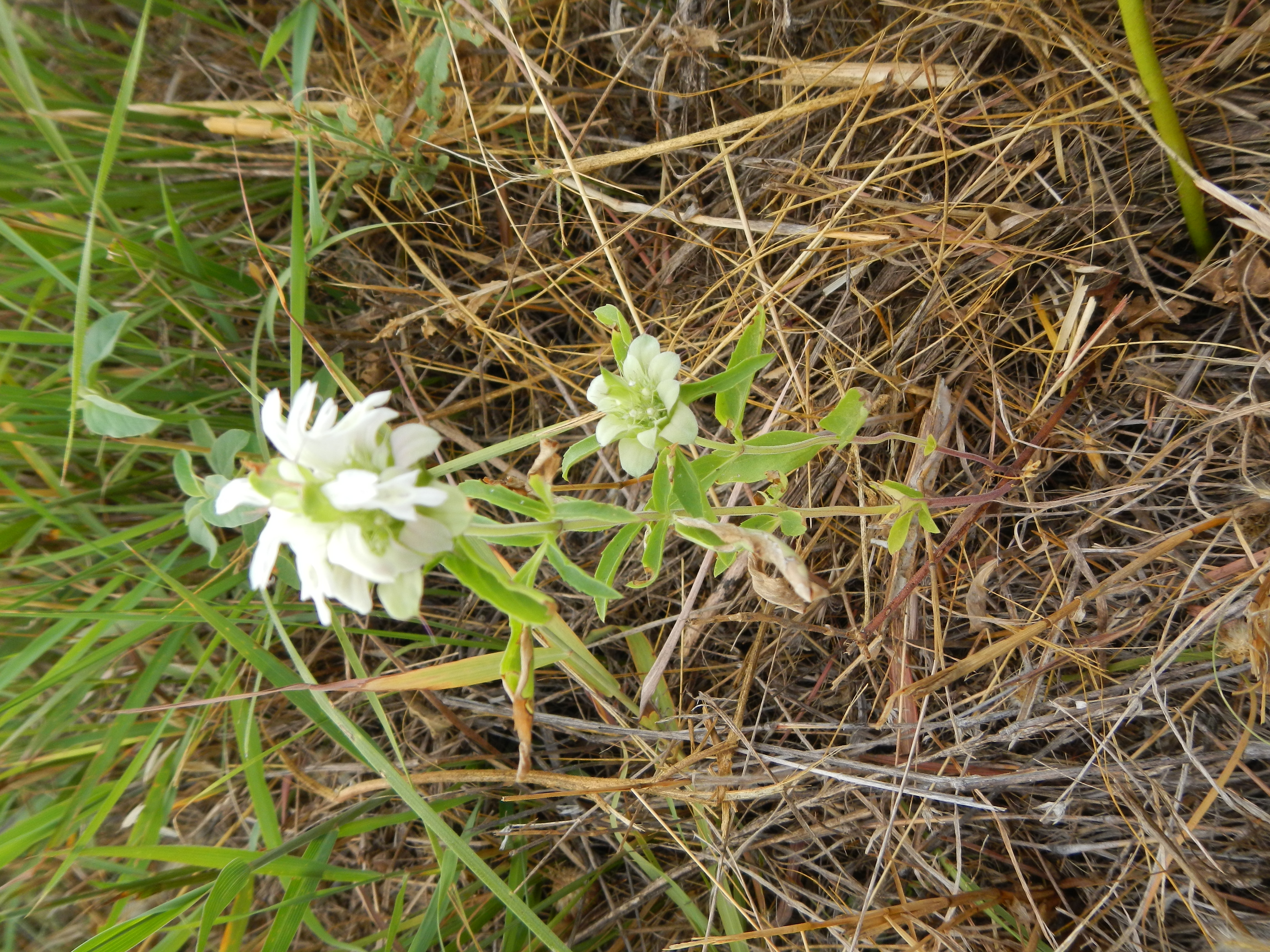
Three in a Row

Central Texas Farm House
A view from a bike.

Love Train

Texas Sunrise

DSCN2247.JPG
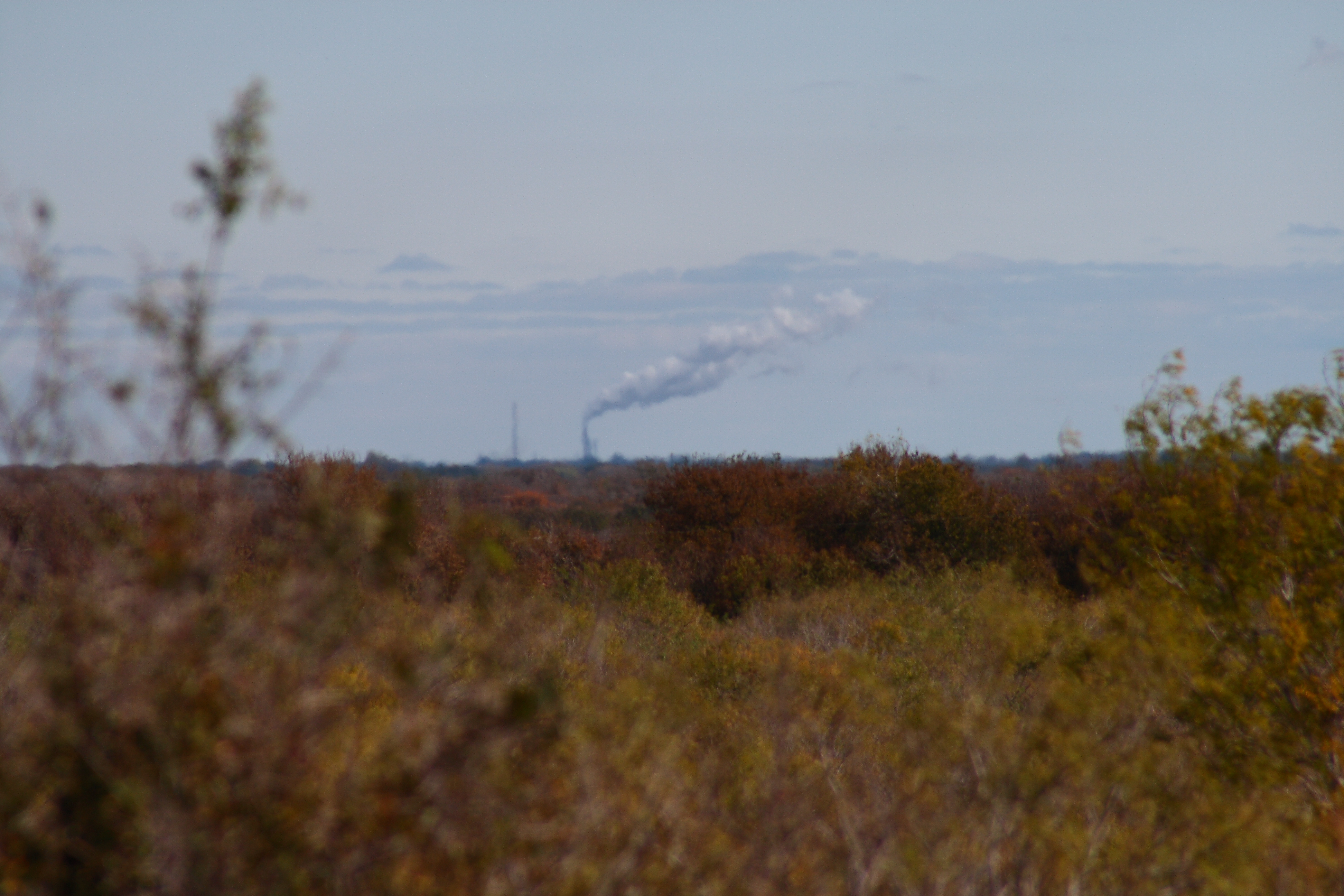
clean air

Window, Coupland, Texas
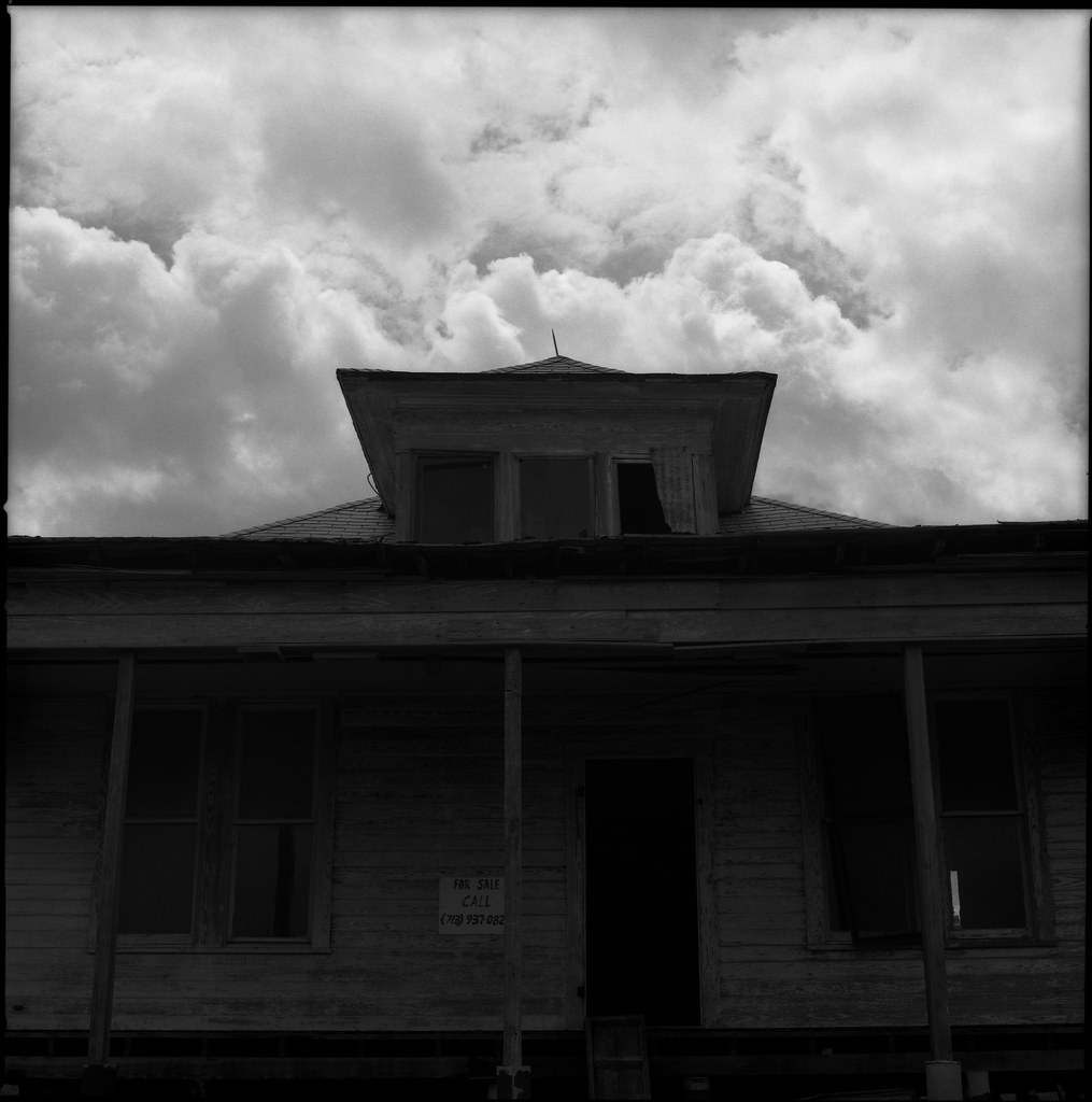
For Sale, Coupland, Texas

Porch, Coupland, Texas
DSCN2241.JPG
DSCN2220.JPG

Abandoned Farm, Texas #texas #centraltexas #sky #farm #instapic #instagram #instafoto #scenic #igdaily #explore #bigtexassky
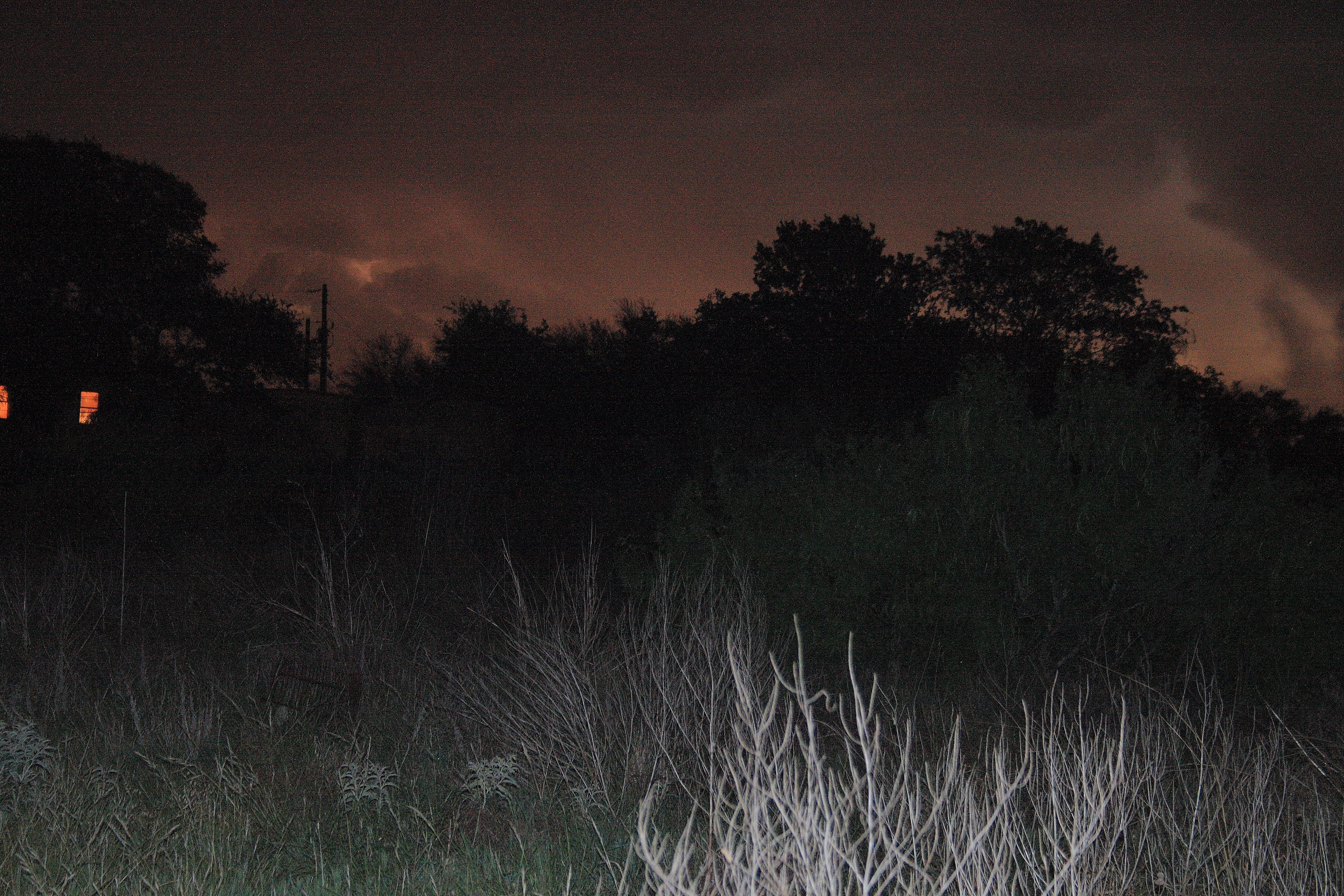
Trying to catch lightening
Topographic Map of Co Rd, Thrall, TX, USA
Find elevation by address:

Places near Co Rd, Thrall, TX, USA:
S Bounds St, Thrall, TX, USA
Thrall
FM, Thorndale, TX, USA
Coupland
First Baptist Church
487 Fm486
Sydney Boulevard
Thorndale
N Main St, Thorndale, TX, USA
N Lund Rd, Coupland, TX, USA
500 Gravel Pit Rd
Yegua Knobbs
419 E 6th St
801 Thorndale Rd
801 Thorndale Rd
801 Thorndale Rd
Taylor
307 Taylor Rd
Elgin
3015 Co Rd 318
Recent Searches:
- Elevation of Corso Fratelli Cairoli, 35, Macerata MC, Italy
- Elevation of Tallevast Rd, Sarasota, FL, USA
- Elevation of 4th St E, Sonoma, CA, USA
- Elevation of Black Hollow Rd, Pennsdale, PA, USA
- Elevation of Oakland Ave, Williamsport, PA, USA
- Elevation of Pedrógão Grande, Portugal
- Elevation of Klee Dr, Martinsburg, WV, USA
- Elevation of Via Roma, Pieranica CR, Italy
- Elevation of Tavkvetili Mountain, Georgia
- Elevation of Hartfords Bluff Cir, Mt Pleasant, SC, USA