Elevation of Thomas-Müntzer-Straße 5, Lutherstadt Eisleben, Germany
Location: Germany > Saxony-anhalt > Eisleben > Polleben >
Longitude: 11.60021
Latitude: 51.58018
Elevation: 168m / 551feet
Barometric Pressure: 0KPa
Related Photos:

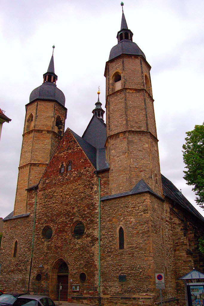
The Church of Saints Peter and Paul in Eisleben, Germany

Mansfeld ¦ 2016

Nice view

Mansfeld-Suedharz ¦ 2016
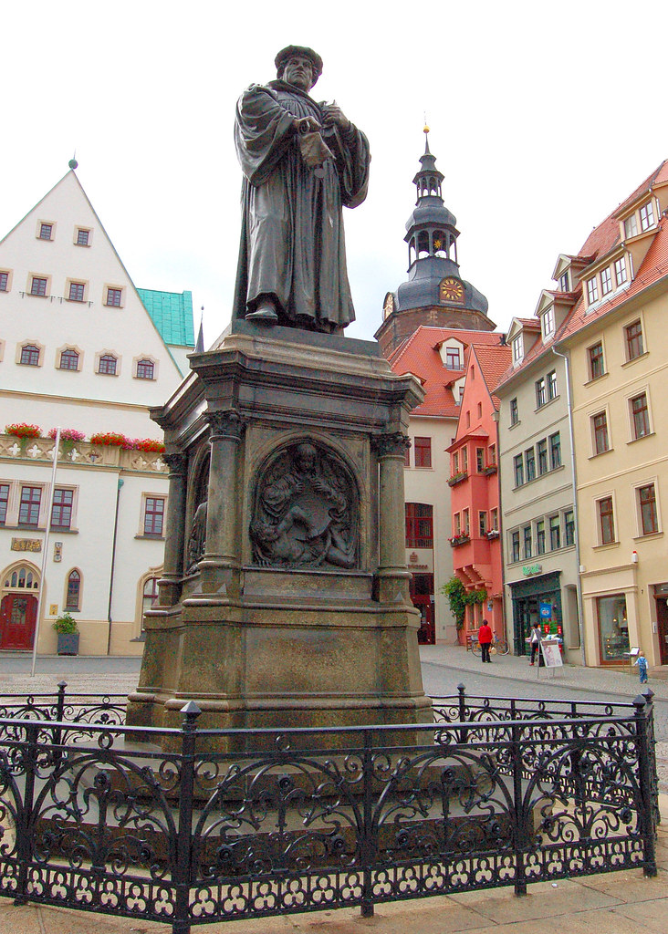
The Lutherdenkmal (Luther Monument) in Eisleben, Germany
The Andreaskirche (Church of St. Andreas) in Eisleben, Germany.
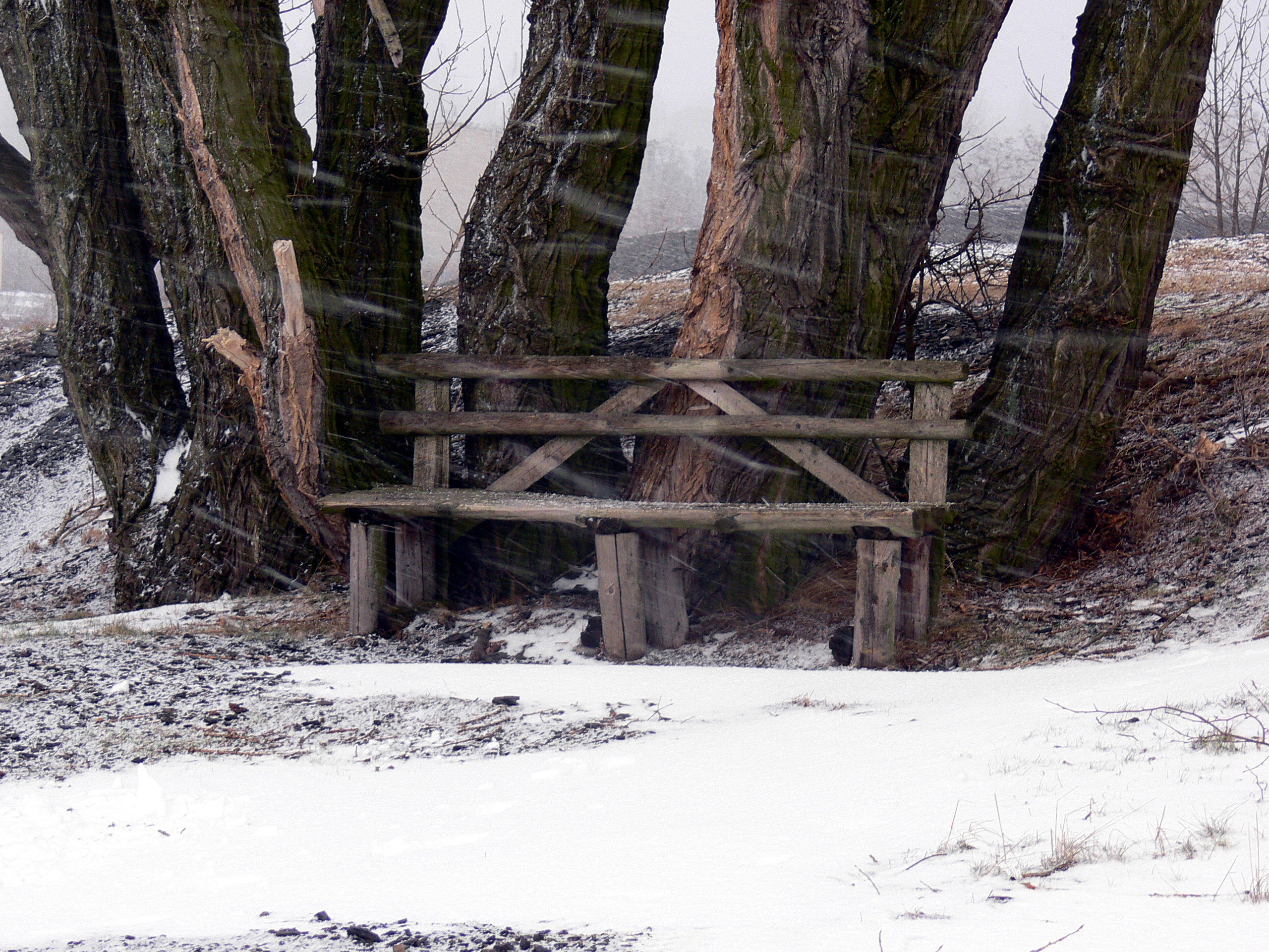
Just started to snow
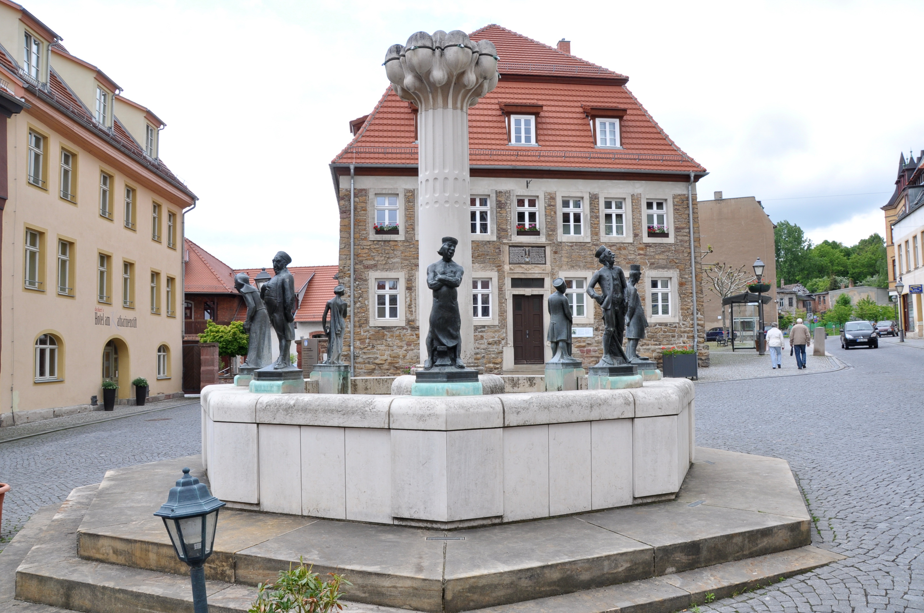
Eisleben, Knappenbrunnen, 24.5.13
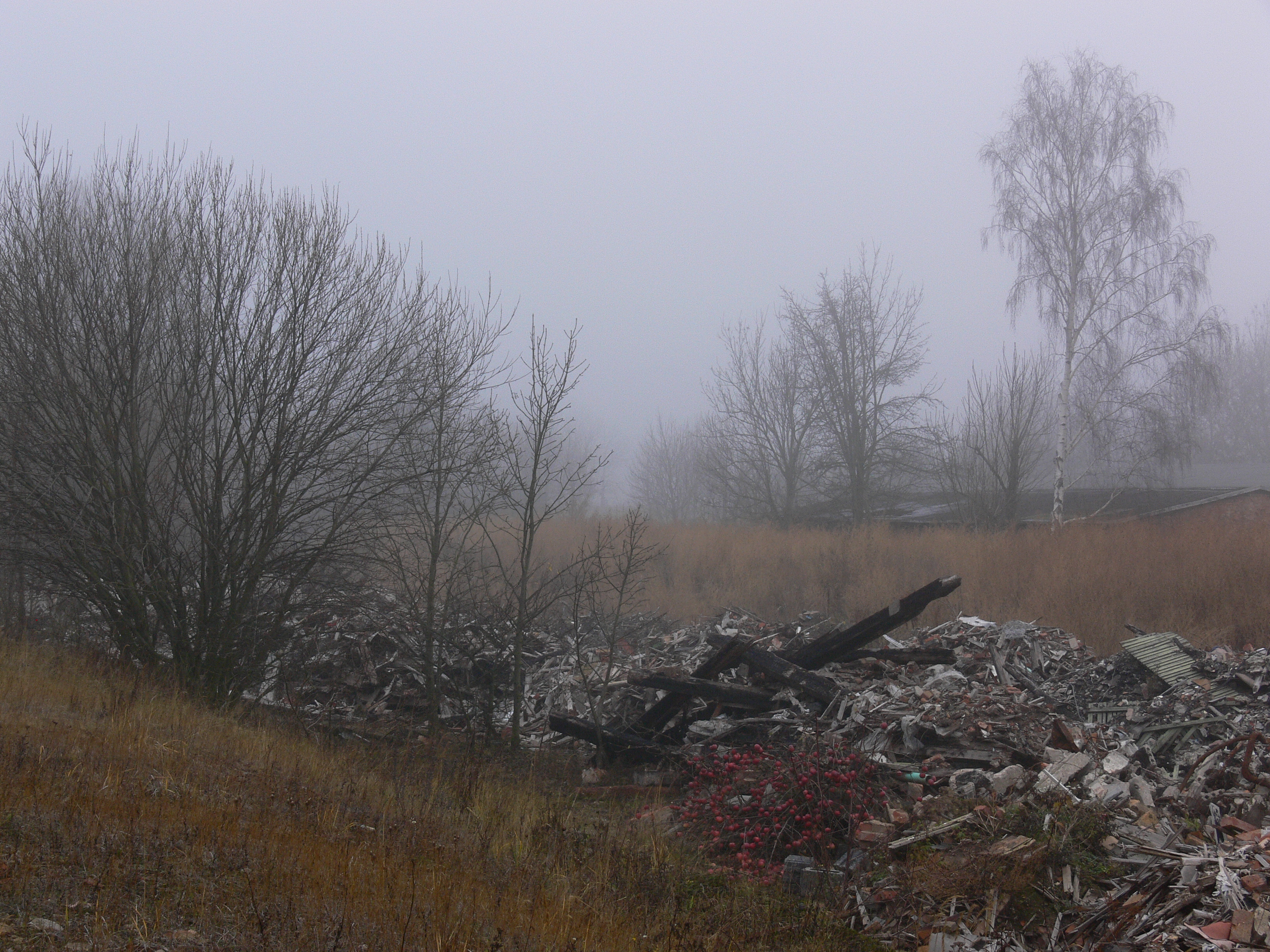
Fog Scene

Klostermansfeld ¦ 2014
Clear view
Aderstedt - Bernburg

Klostermansfeld ¦ 2014

Klostermansfeld ¦ 2014

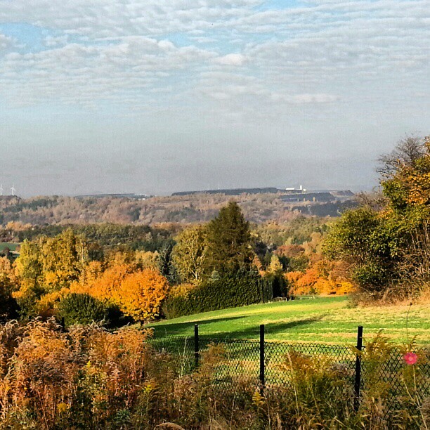
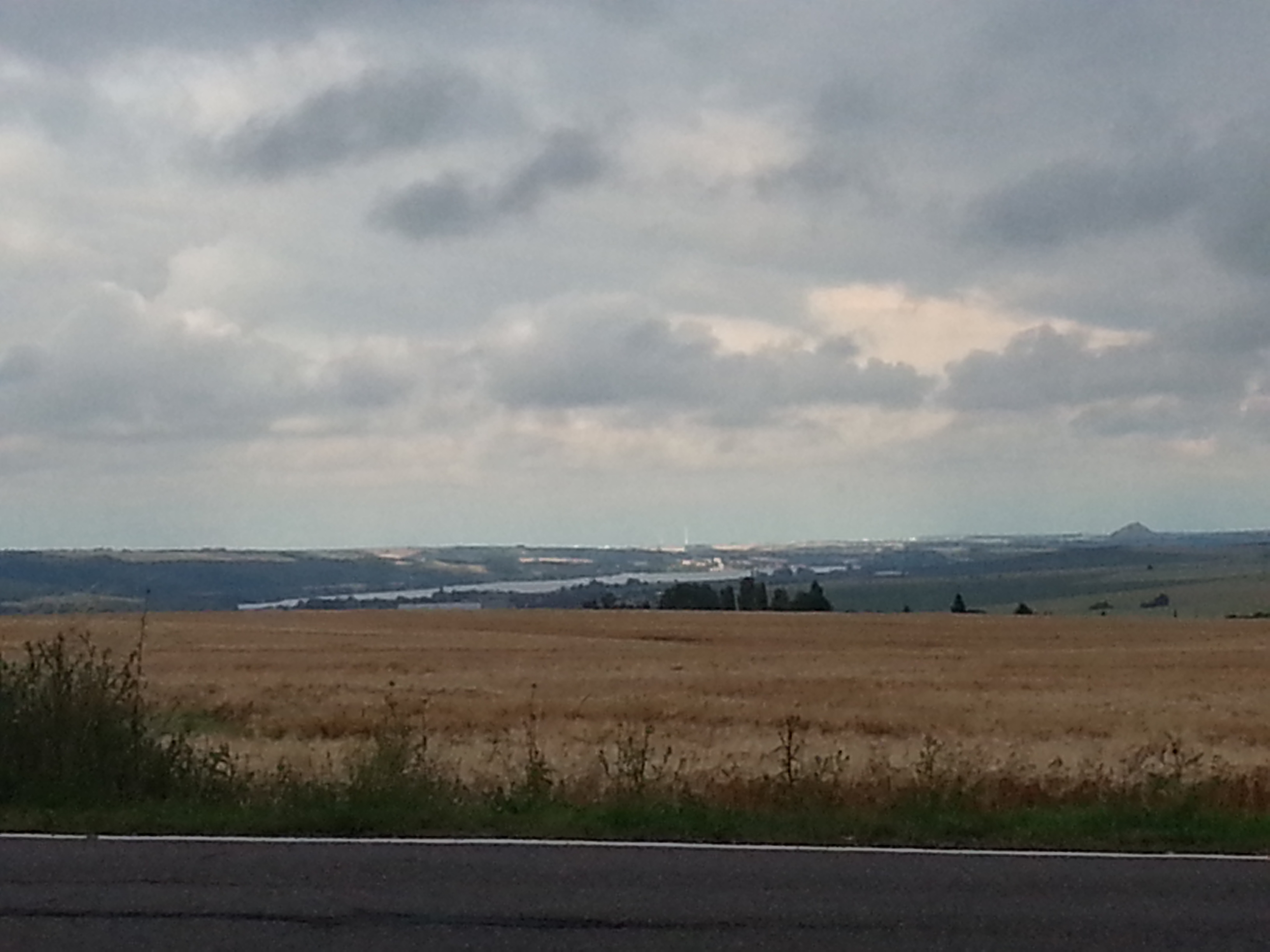
A view from a hill
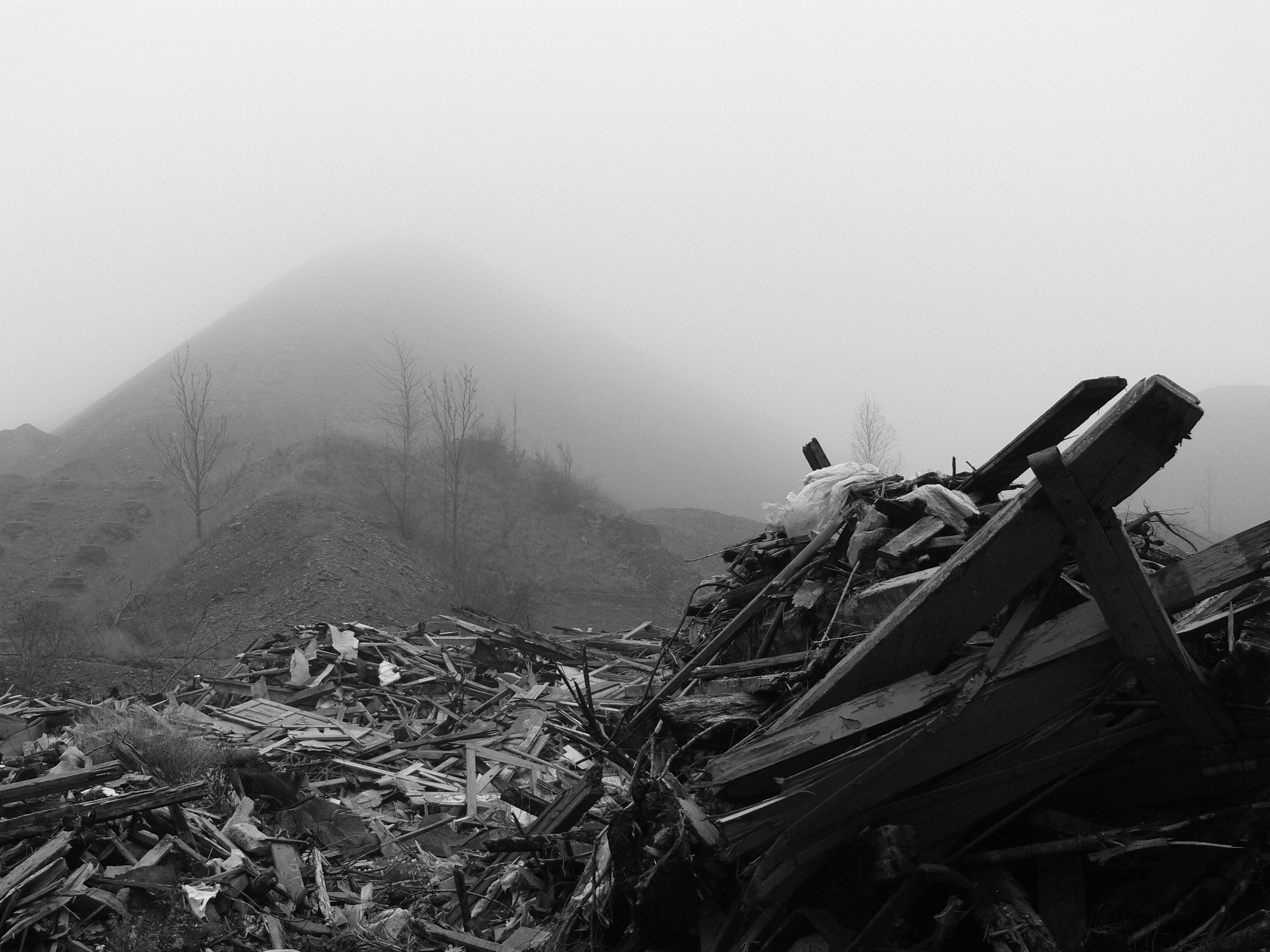
Mining Dump
Landschaft Mansfelder Land Oktober 2012

P1120813-3
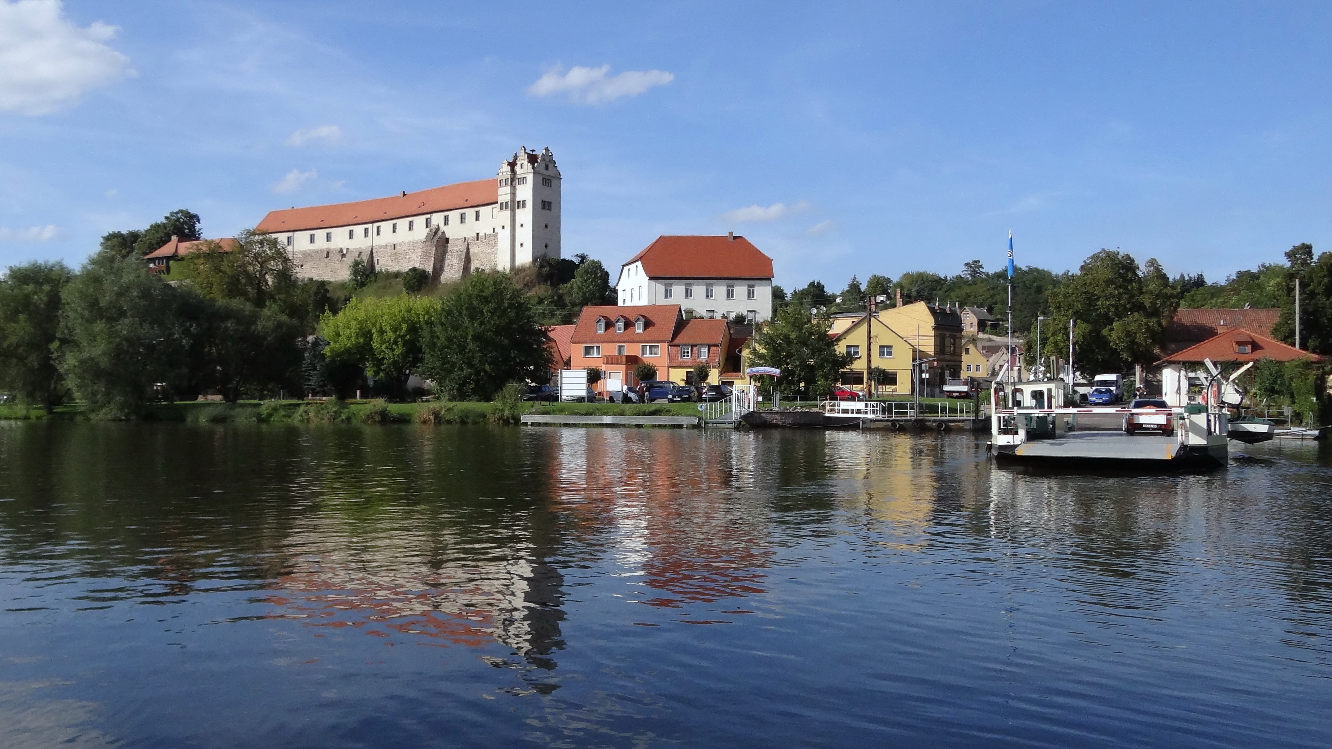
Burg Wettin(3)
Wettin (2)

P1080650-1
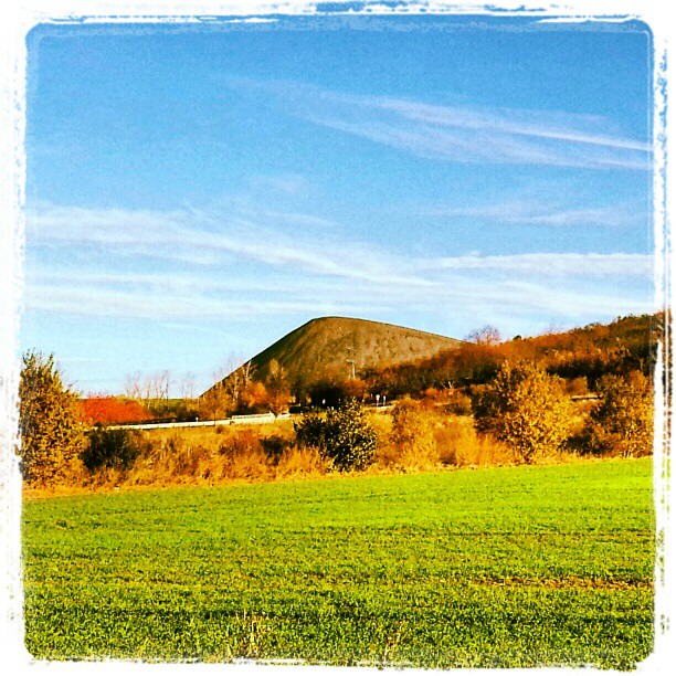
Kupferschieferhalde Mansfelder Land

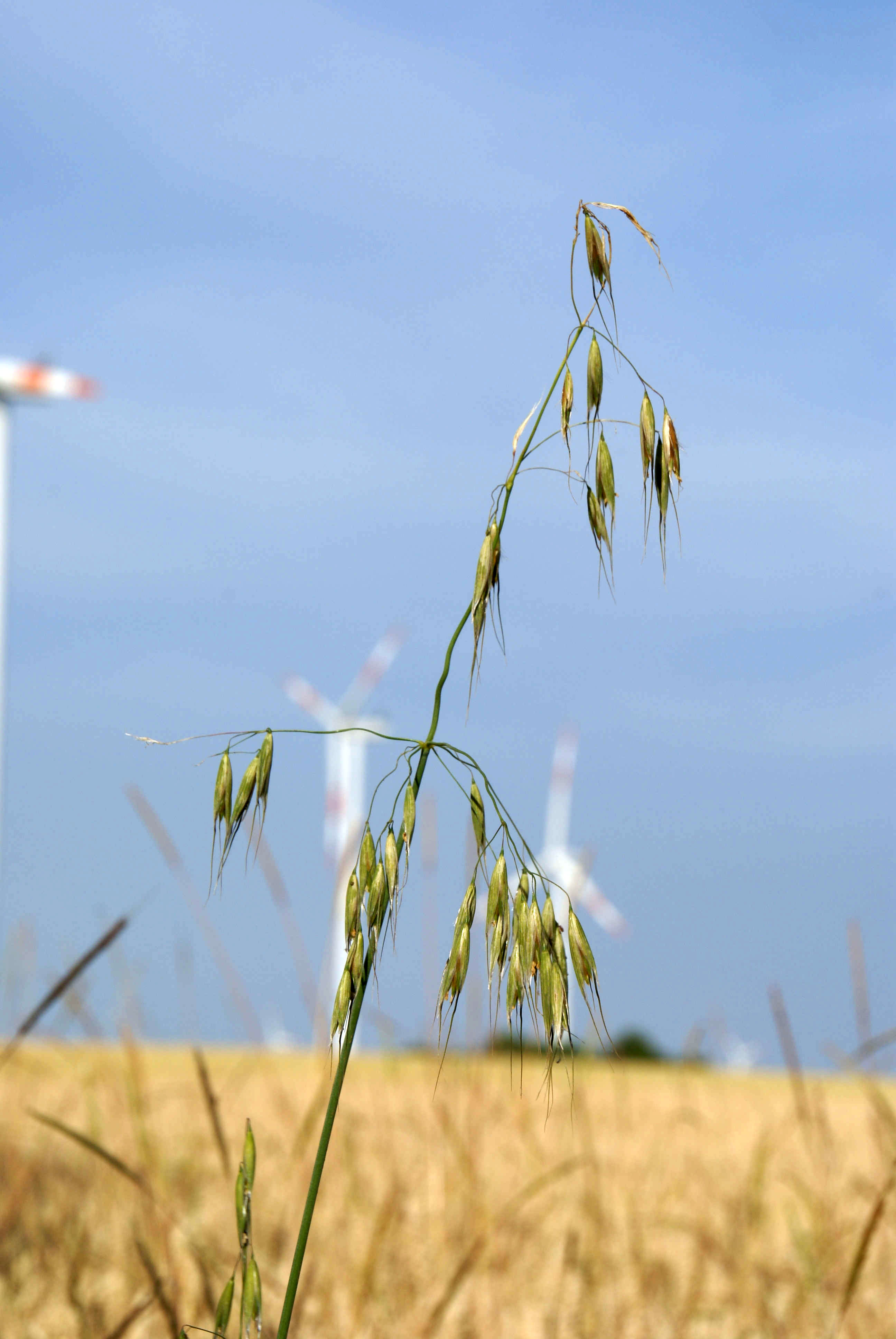
Wind Energie Anlage

Tornado am Abend...

Sonnenaufgang 24.Dezember 2013

Eisleben am Horizont

Wolferode-Garten

P1030075a-1
Blick auf den Süßen See 2014

1980-8-11 Riestedt
Fog covering the past
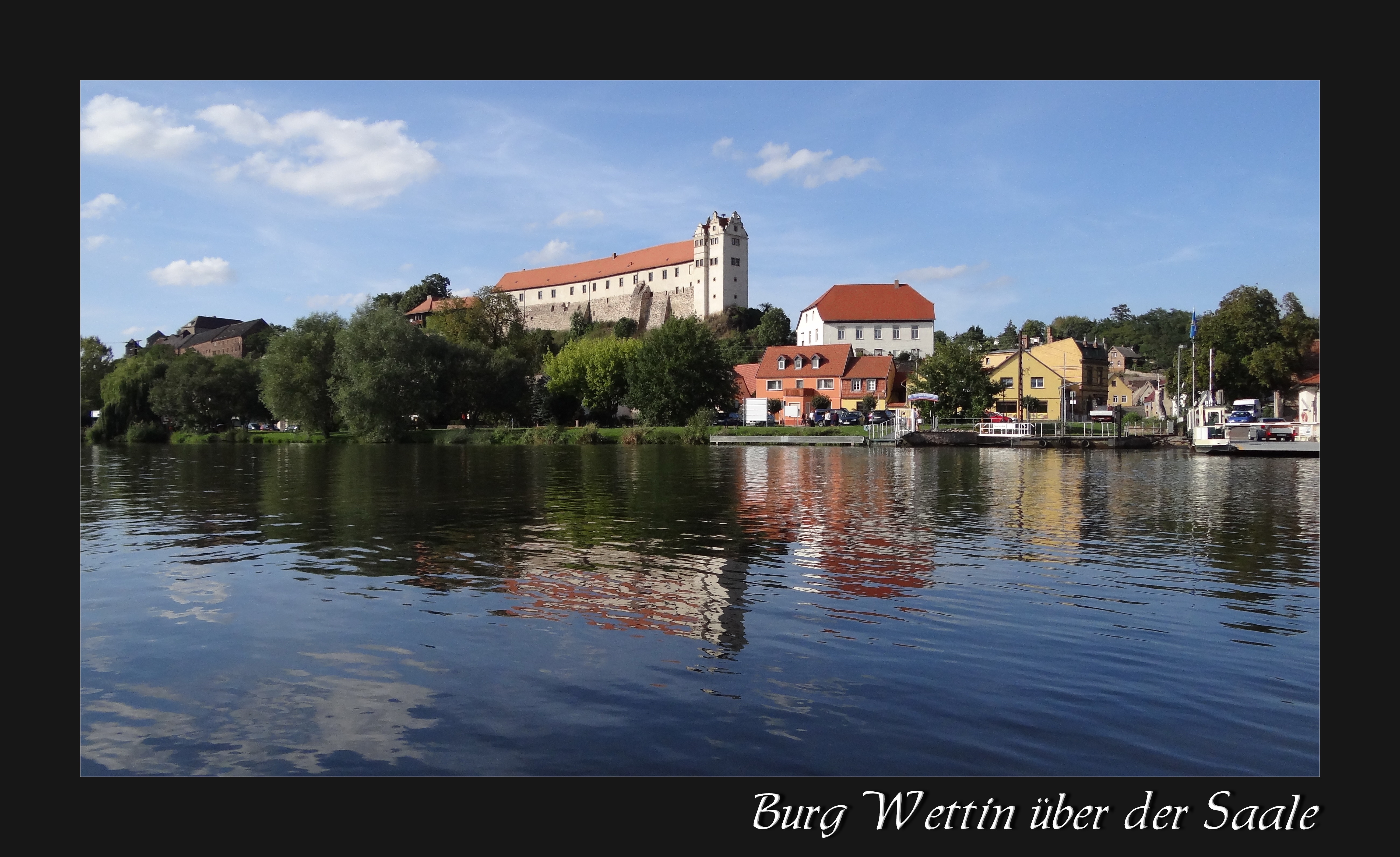
Burg Wettin(1)

Sonnenaufgang 24.Dezember 2013

2014-02-05 MI
Unterwegs im Salzlandkreis

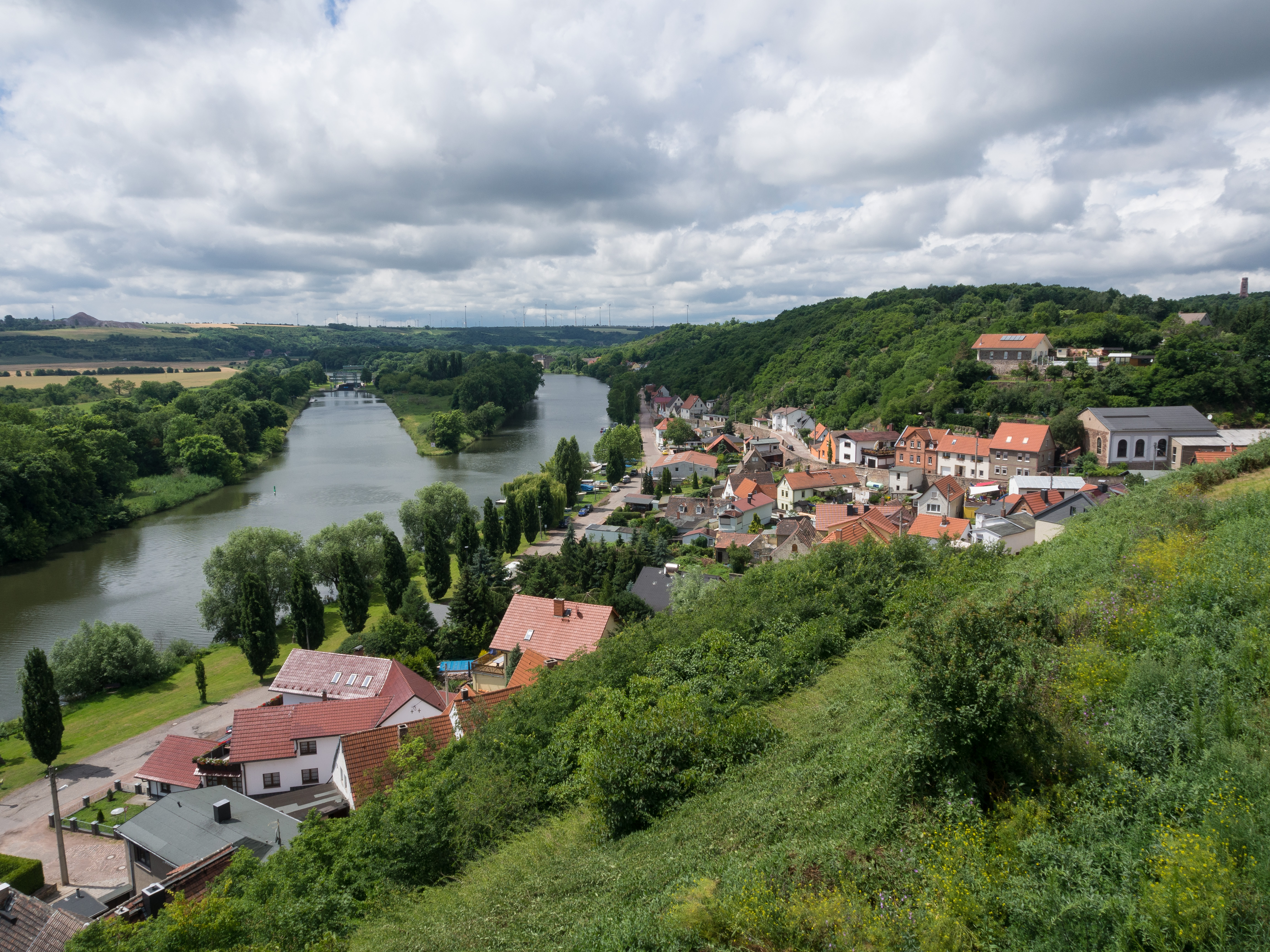
Höhenrundweg Zappendorf

Land und Wolken
Topographic Map of Thomas-Müntzer-Straße 5, Lutherstadt Eisleben, Germany
Find elevation by address:

Places near Thomas-Müntzer-Straße 5, Lutherstadt Eisleben, Germany:
Polleben
Augsdorf
Alte Dorfstraße 28, Gerbstedt, Germany
Volkstedt
21a
Eisleben
Markt 10, Lutherstadt Eisleben, Germany
Friedrich-fröbel-straße 1
Hettstedt
118b
Schenkgasse 4, Ahlsdorf, Germany
Ahlsdorf
84a
Mansfeld
Walbeck
Am Dorfanger 3, Walbeck, Germany
Mansfeld-südharz
Schulweg 3, Sylda, Germany
Sylda
Bräunrode
Recent Searches:
- Elevation of Pasing, Munich, Bavaria, 81241, Germany
- Elevation of 24, Auburn Bay Crescent SE, Auburn Bay, Calgary, Alberta, T3M 0A6, Canada
- Elevation of Denver, 2314, Arapahoe Street, Five Points, Denver, Colorado, 80205, USA
- Elevation of Community of the Beatitudes, 2924, West 43rd Avenue, Sunnyside, Denver, Colorado, 80211, USA
- Elevation map of Litang County, Sichuan, China
- Elevation map of Madoi County, Qinghai, China
- Elevation of 3314, Ohio State Route 114, Payne, Paulding County, Ohio, 45880, USA
- Elevation of Sarahills Drive, Saratoga, Santa Clara County, California, 95070, USA
- Elevation of Town of Bombay, Franklin County, New York, USA
- Elevation of 9, Convent Lane, Center Moriches, Suffolk County, New York, 11934, USA
- Elevation of Saint Angelas Convent, 9, Convent Lane, Center Moriches, Suffolk County, New York, 11934, USA
- Elevation of 131st Street Southwest, Mukilteo, Snohomish County, Washington, 98275, USA
- Elevation of 304, Harrison Road, Naples, Cumberland County, Maine, 04055, USA
- Elevation of 2362, Timber Ridge Road, Harrisburg, Cabarrus County, North Carolina, 28075, USA
- Elevation of Ridge Road, Marshalltown, Marshall County, Iowa, 50158, USA
- Elevation of 2459, Misty Shadows Drive, Pigeon Forge, Sevier County, Tennessee, 37862, USA
- Elevation of 8043, Brightwater Way, Spring Hill, Williamson County, Tennessee, 37179, USA
- Elevation of Starkweather Road, San Luis, Costilla County, Colorado, 81152, USA
- Elevation of 5277, Woodside Drive, Baton Rouge, East Baton Rouge Parish, Louisiana, 70808, USA
- Elevation of 1139, Curtin Street, Shepherd Park Plaza, Houston, Harris County, Texas, 77018, USA