Elevation of Thick Rd, Chapel Hill, TN, USA
Location: United States > Tennessee > Marshall County > Chapel Hill >
Longitude: -86.734611
Latitude: 35.658248
Elevation: 218m / 715feet
Barometric Pressure: 99KPa
Elevation Map:
Satellite Map:
Related Photos:

The ever crumbling rock city barn
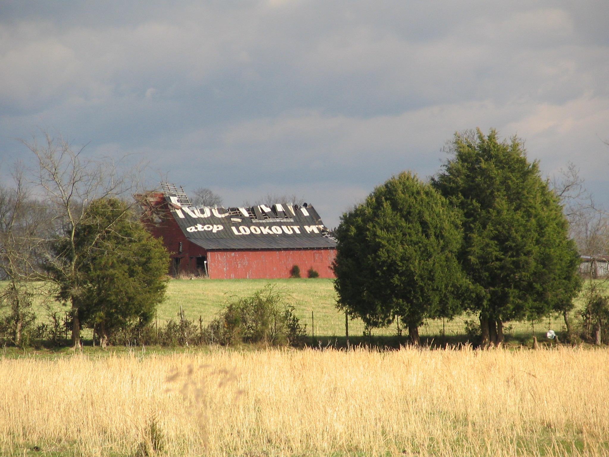
Rock City Barn, Bedford Co., TN

They think I am here to feed them...

Farmland - Eagleville, TN

Henry Horton

Enon Primitive Baptist Church - Bedford County, TN

Sunset Skygazing
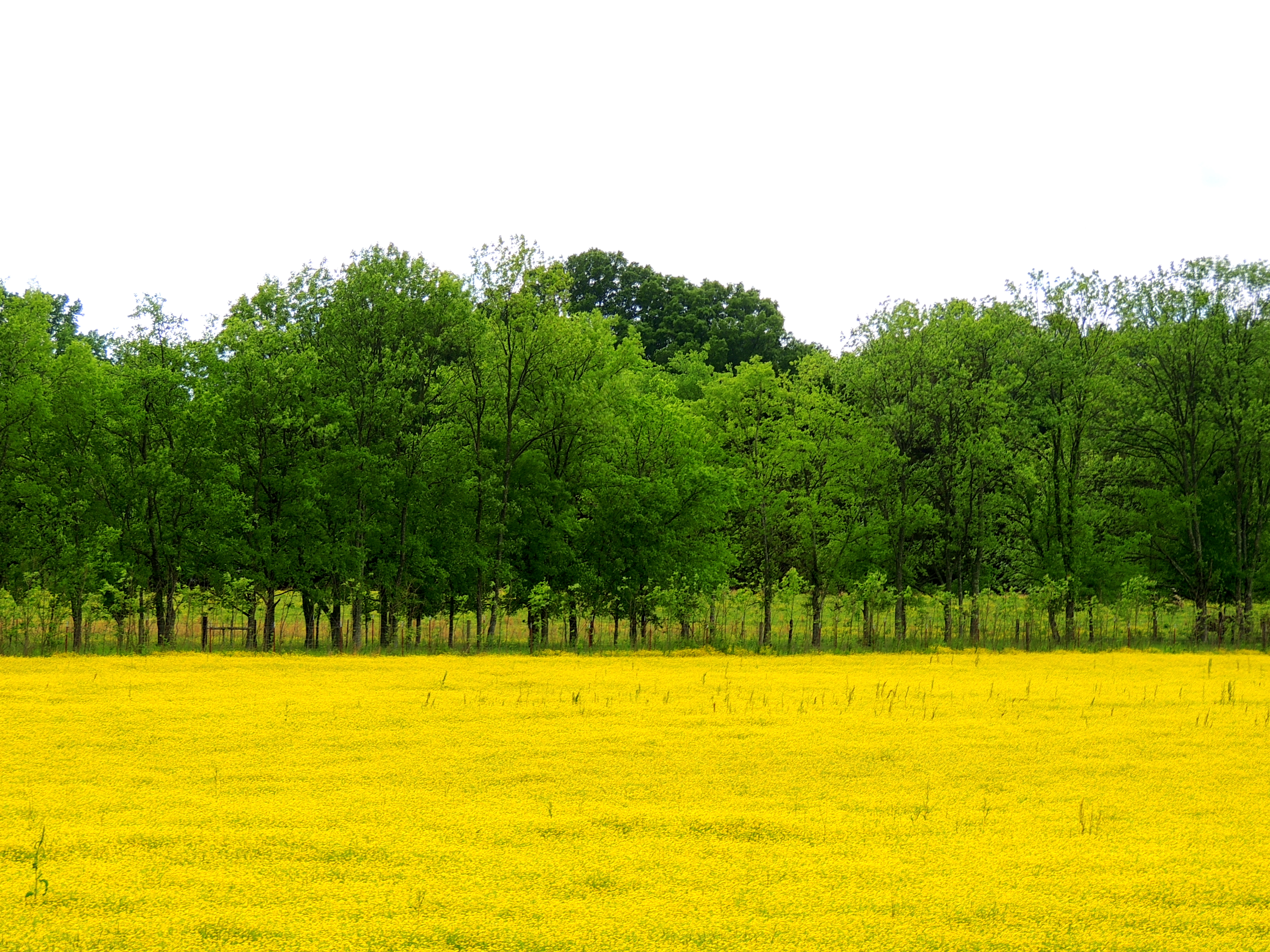
Farmland - Eagleville, TN

Henry Horton

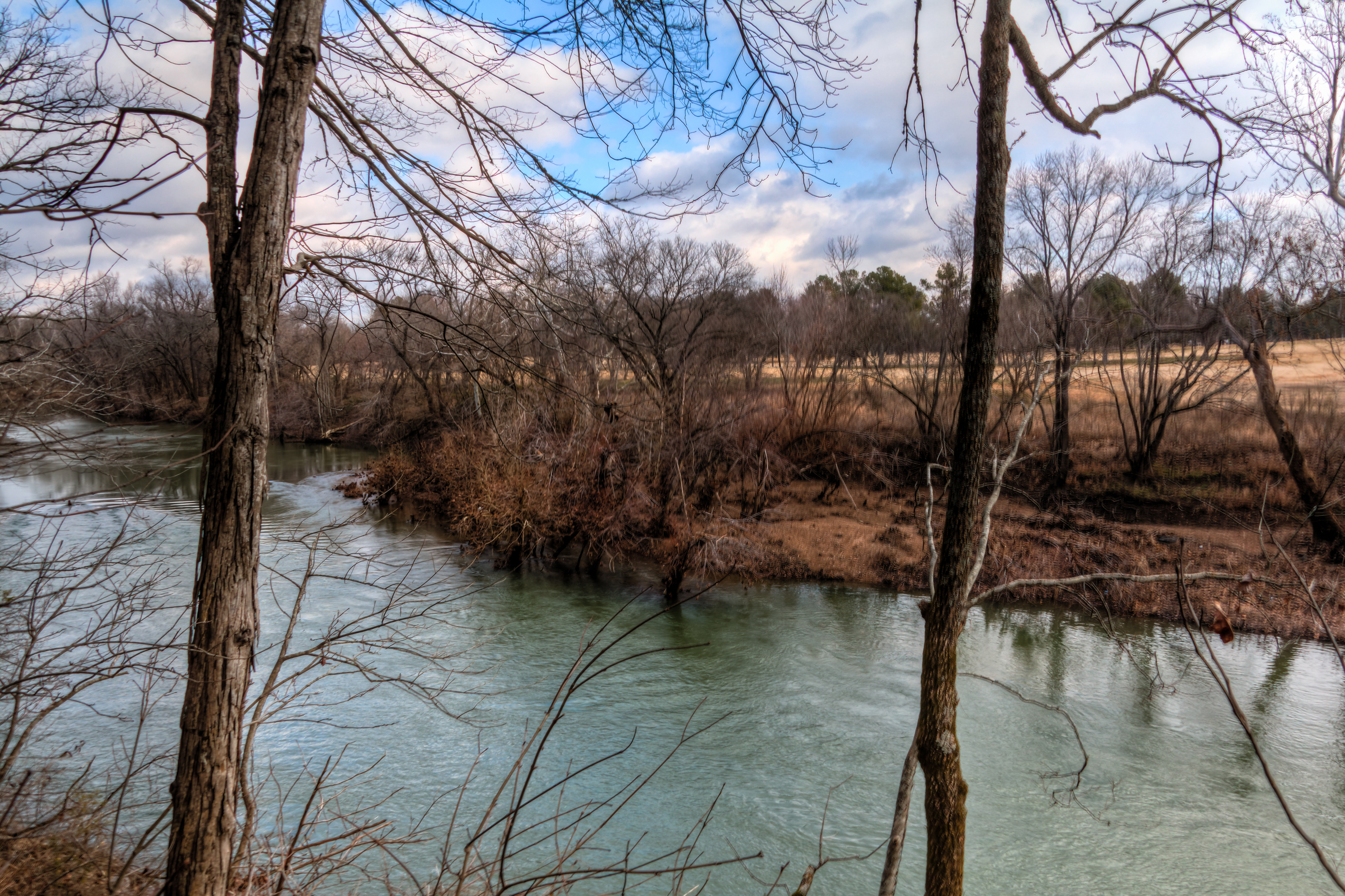
The Duck River at Henry Horton State Park

Down below 2

skygazing full sky
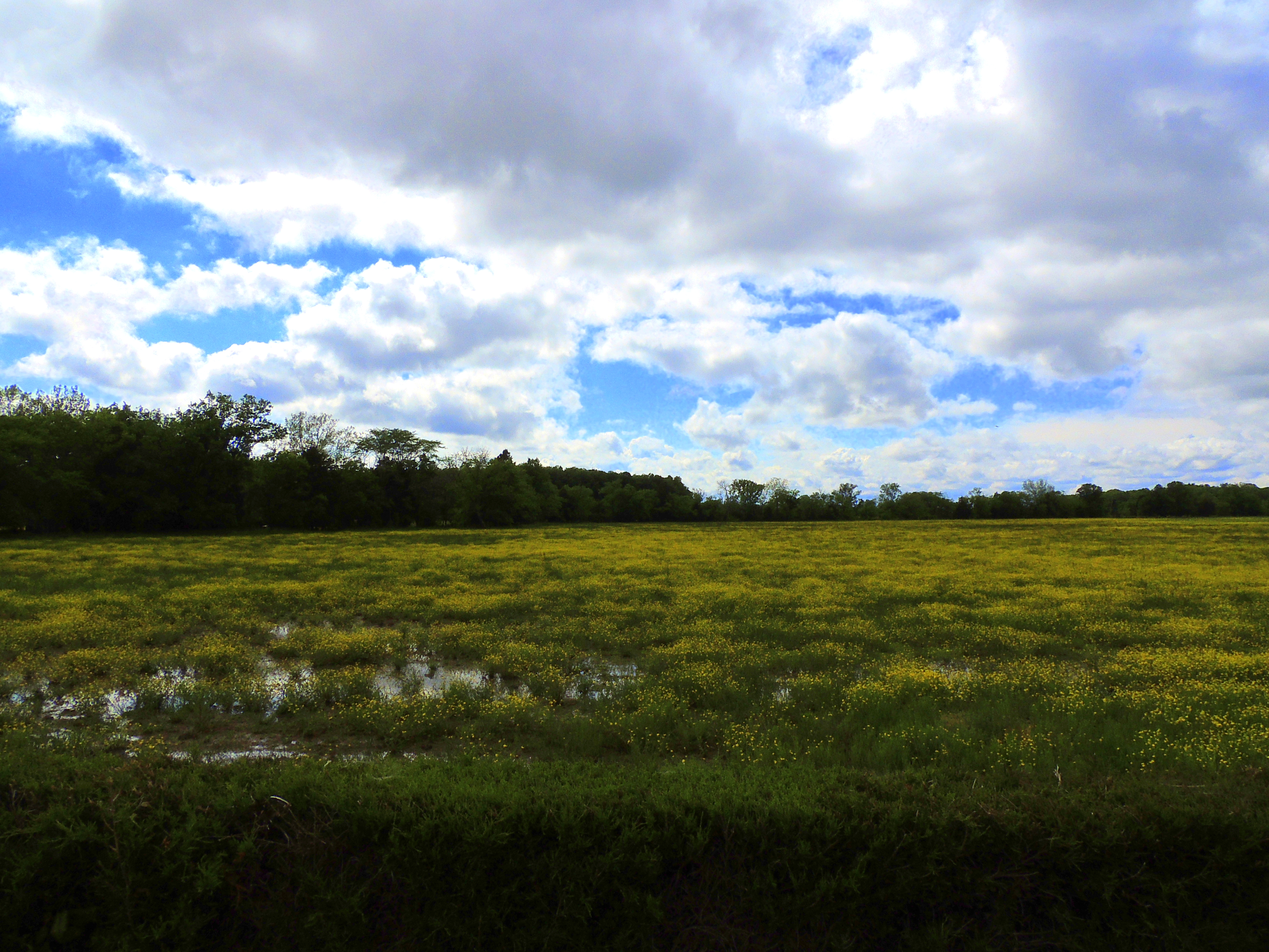
Farmland - Eagleville, TN

Farmland - Eagleville, TN

Landscape with Stars & Rob
Henry Horton
Henry Horton

Down below

skygazing full sky 2
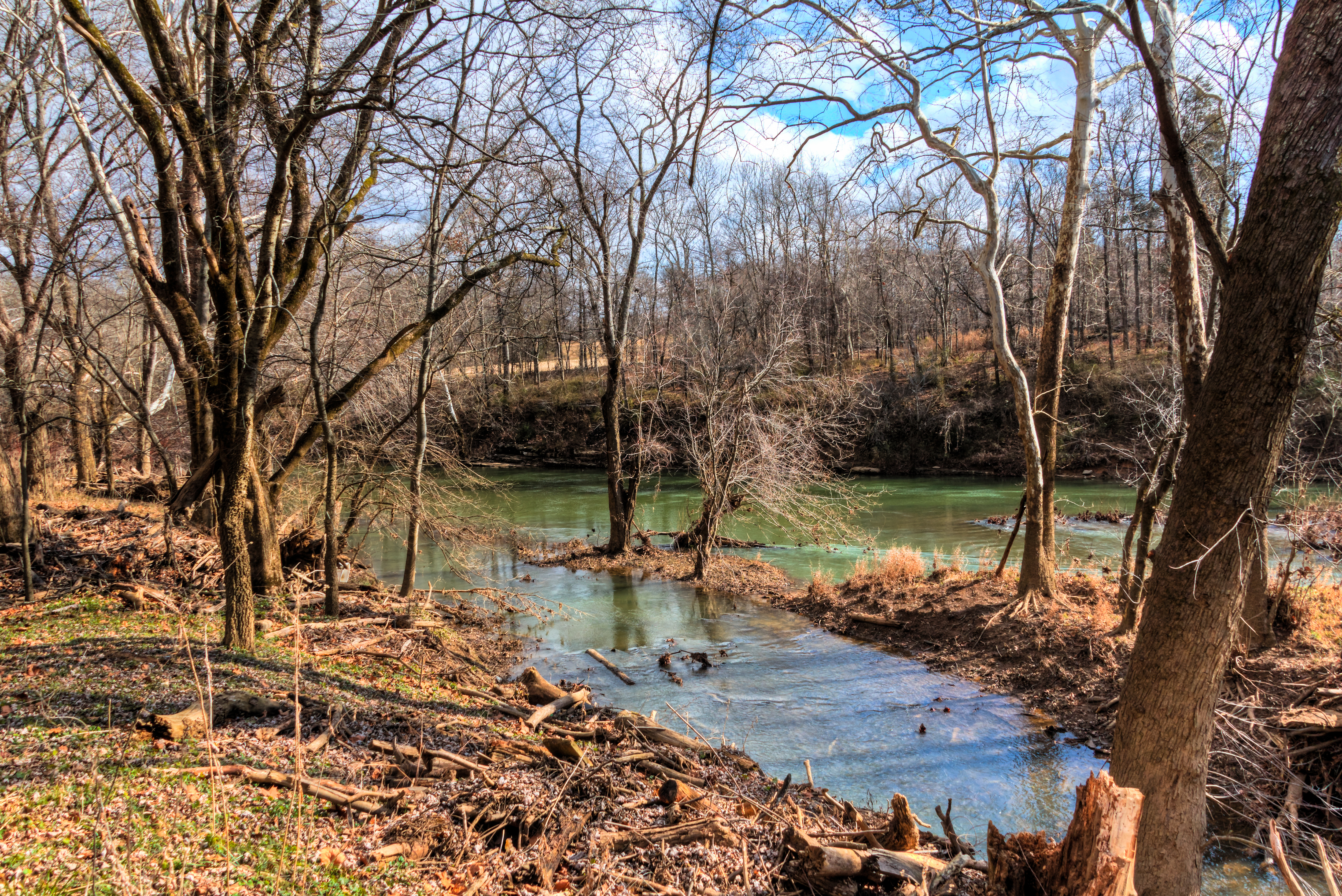
The Duck River at Henry Horton State Park

Burning Tree
Topographic Map of Thick Rd, Chapel Hill, TN, USA
Find elevation by address:

Places near Thick Rd, Chapel Hill, TN, USA:
4464 Smiley Rd
514 N Horton Pkwy
Chapel Hill
1503 Evelyn Ave
Sylvester Chunn Hwy, Lewisburg, TN, USA
Chapel Hill, TN, USA
6889 Giles Hill Rd
1603 River Rd
6881 Giles Hill Rd
2613 Tn-270
Rutledge Ln, Lewisburg, TN, USA
College Grove, TN, USA
Tiller Ln, College Grove, TN, USA
Cole Bend Rd, Columbia, TN, USA
Nashville Hwy, Lewisburg, TN, USA
Eagleville
4903 Cole Bend Rd
4944 Bethesda-duplex Rd
Murray Road
6509 Stargazer Ln
Recent Searches:
- Elevation of Corso Fratelli Cairoli, 35, Macerata MC, Italy
- Elevation of Tallevast Rd, Sarasota, FL, USA
- Elevation of 4th St E, Sonoma, CA, USA
- Elevation of Black Hollow Rd, Pennsdale, PA, USA
- Elevation of Oakland Ave, Williamsport, PA, USA
- Elevation of Pedrógão Grande, Portugal
- Elevation of Klee Dr, Martinsburg, WV, USA
- Elevation of Via Roma, Pieranica CR, Italy
- Elevation of Tavkvetili Mountain, Georgia
- Elevation of Hartfords Bluff Cir, Mt Pleasant, SC, USA