Elevation of Rutledge Ln, Lewisburg, TN, USA
Location: United States > Tennessee > Marshall County > Lewisburg >
Longitude: -86.815571
Latitude: 35.610096
Elevation: 201m / 659feet
Barometric Pressure: 99KPa
Elevation Map:
Satellite Map:
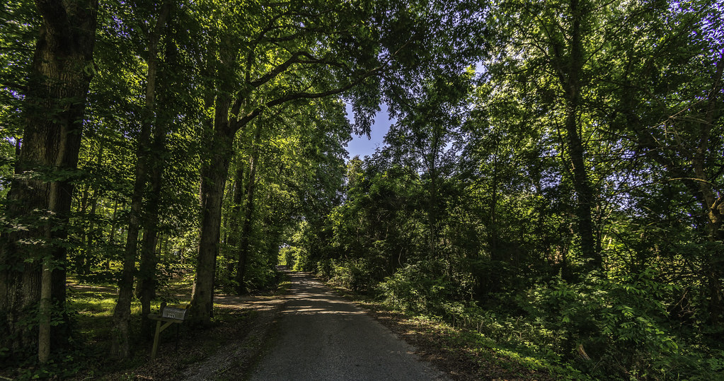
Related Photos:
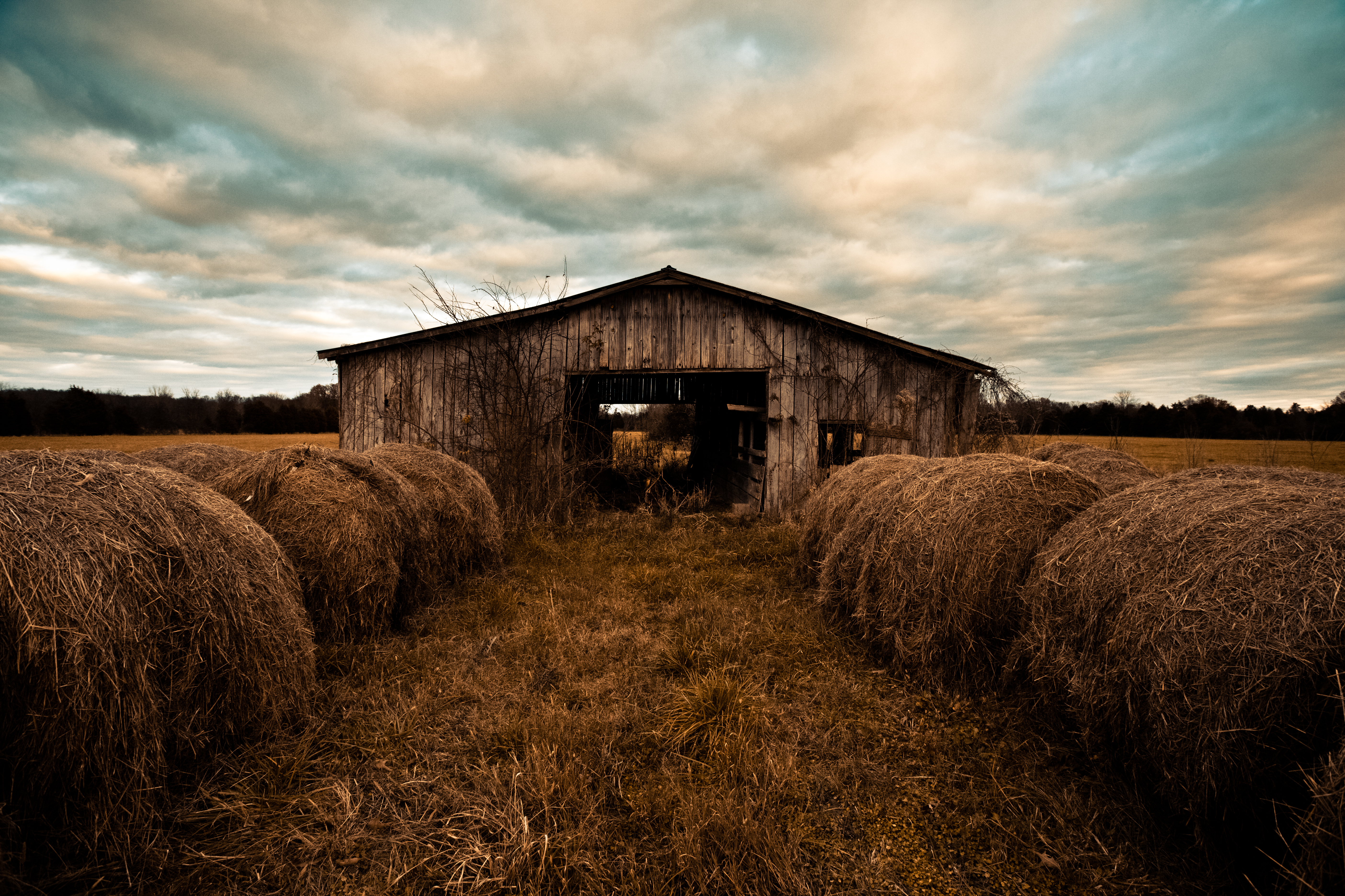
Pa's Old Barn

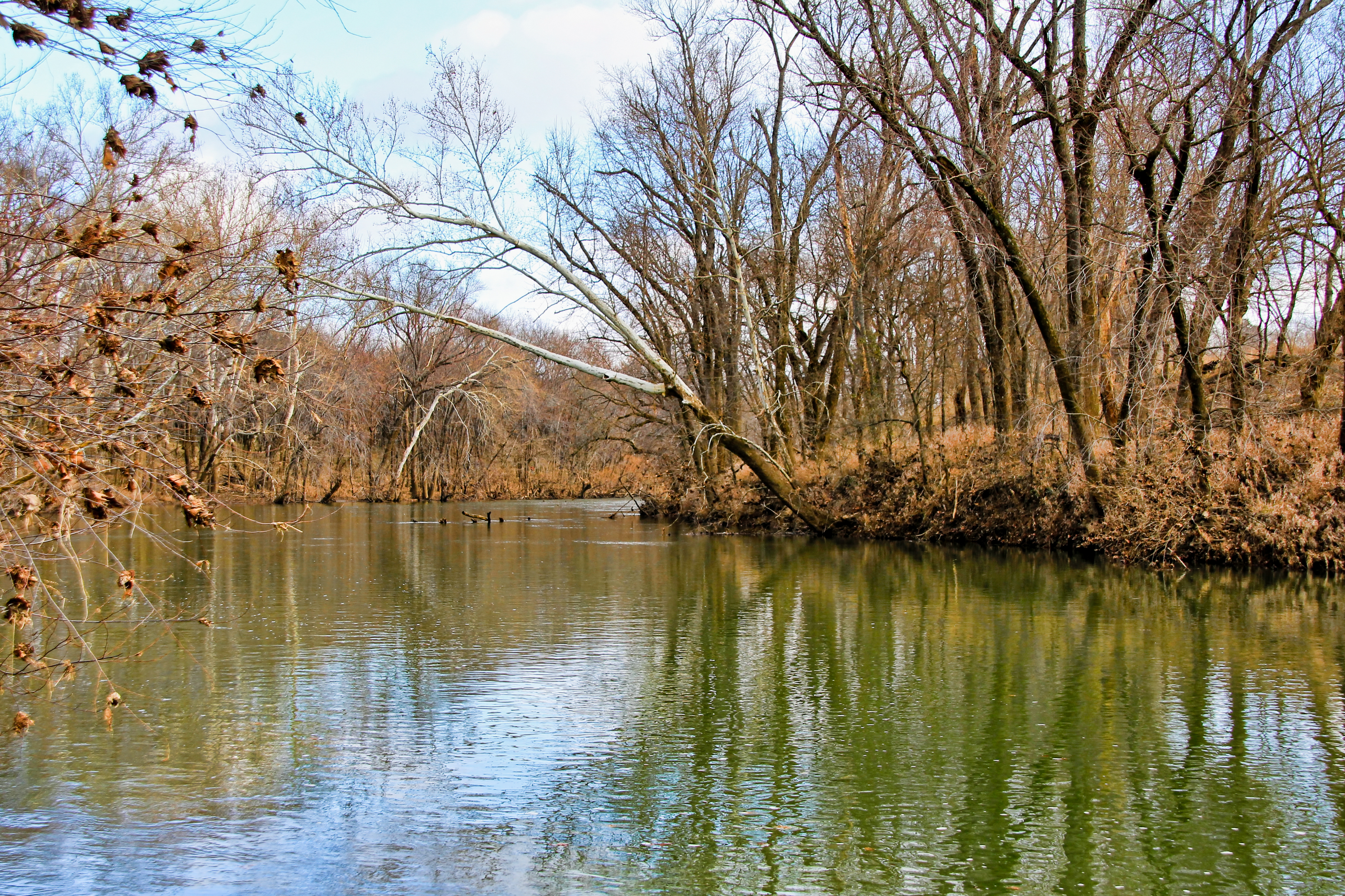
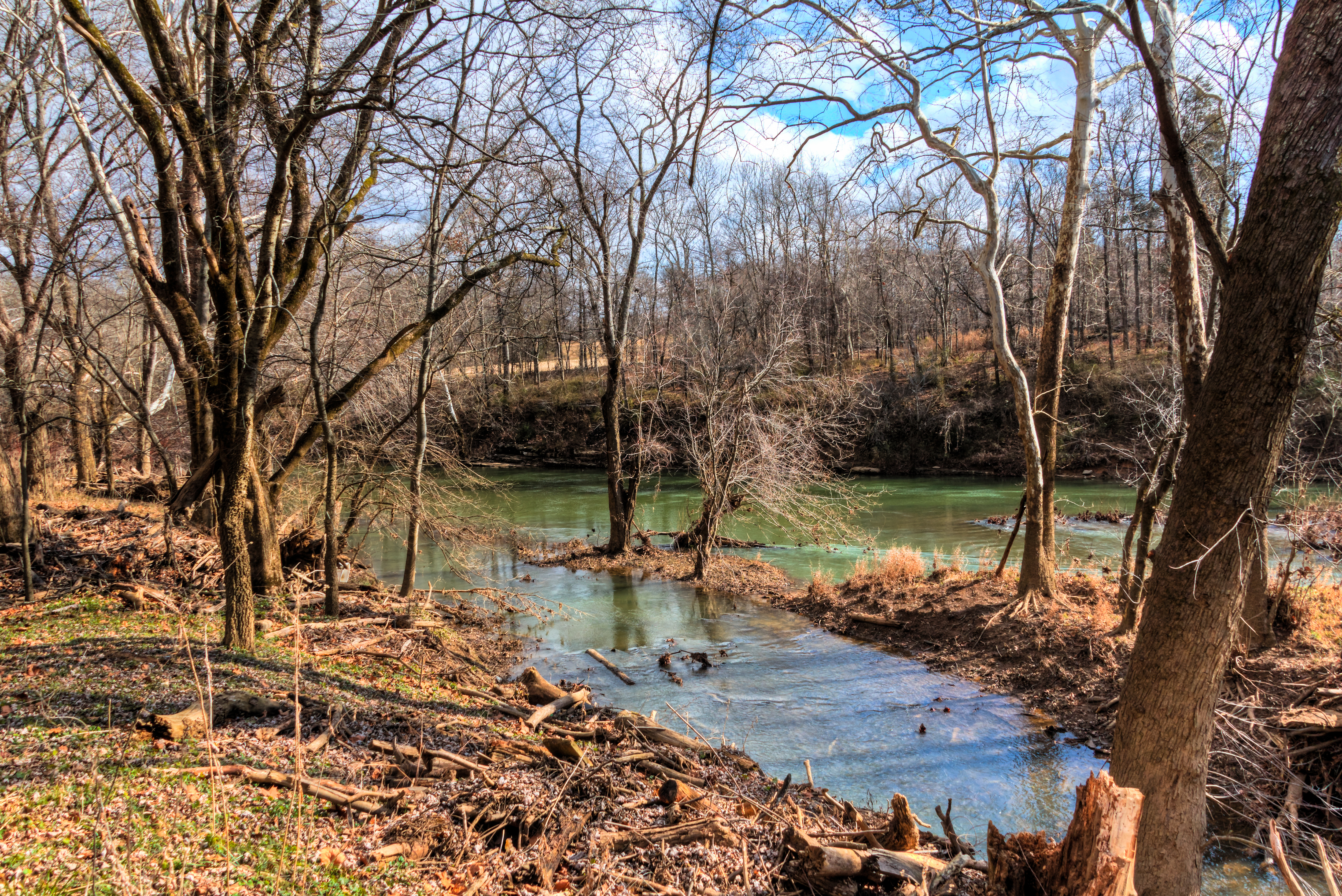
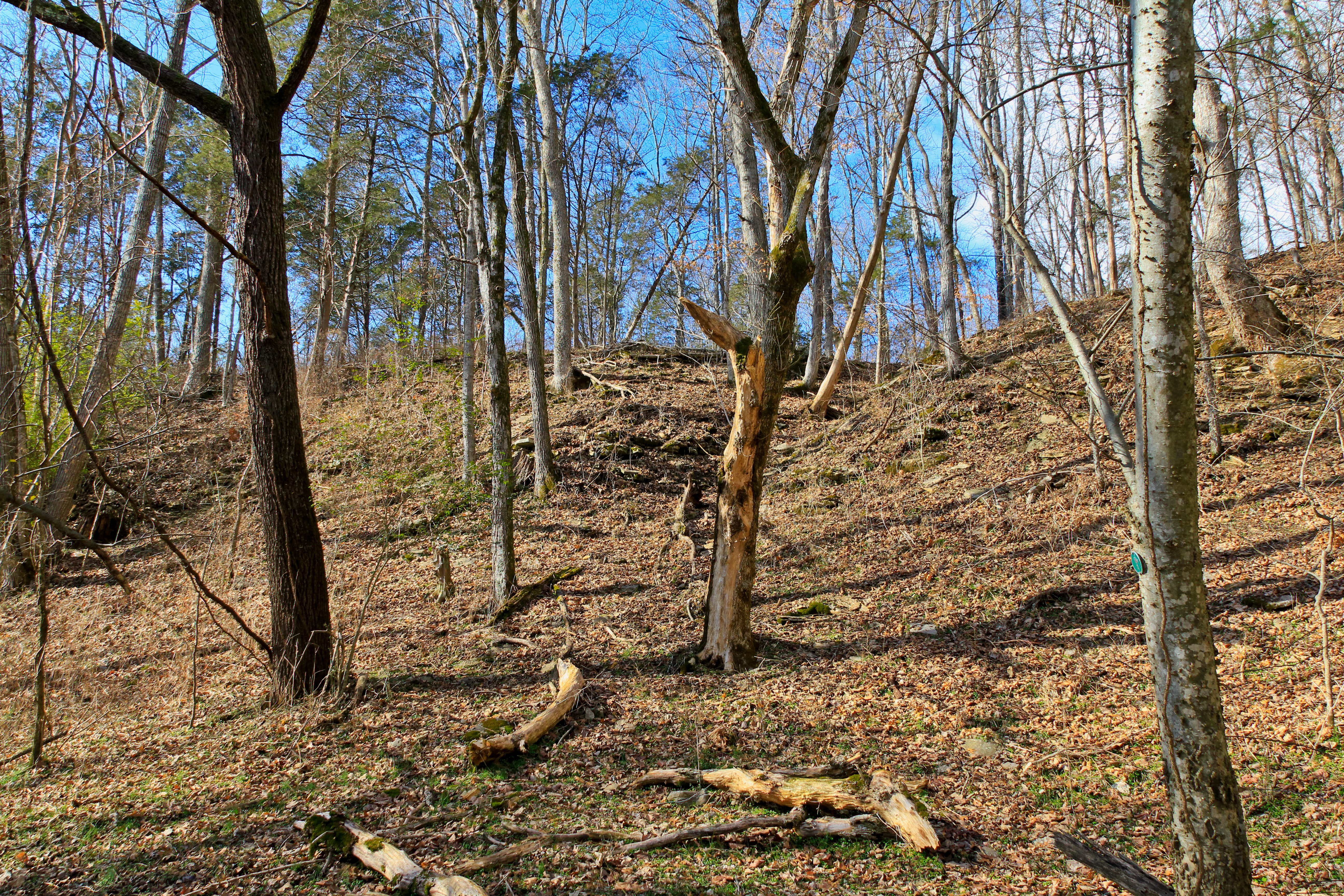
Cheeks Bend Bluff View Trail

Cheeks Bend Bluff View Trail

Cheeks Bend Bluff View Trail

Cheeks Bend Bluff View Trail

Cheeks Bend Bluff View Trail

Cheeks Bend Bluff View Trail

Cheeks Bend Bluff View Trail

Cheeks Bend Bluff View Trail
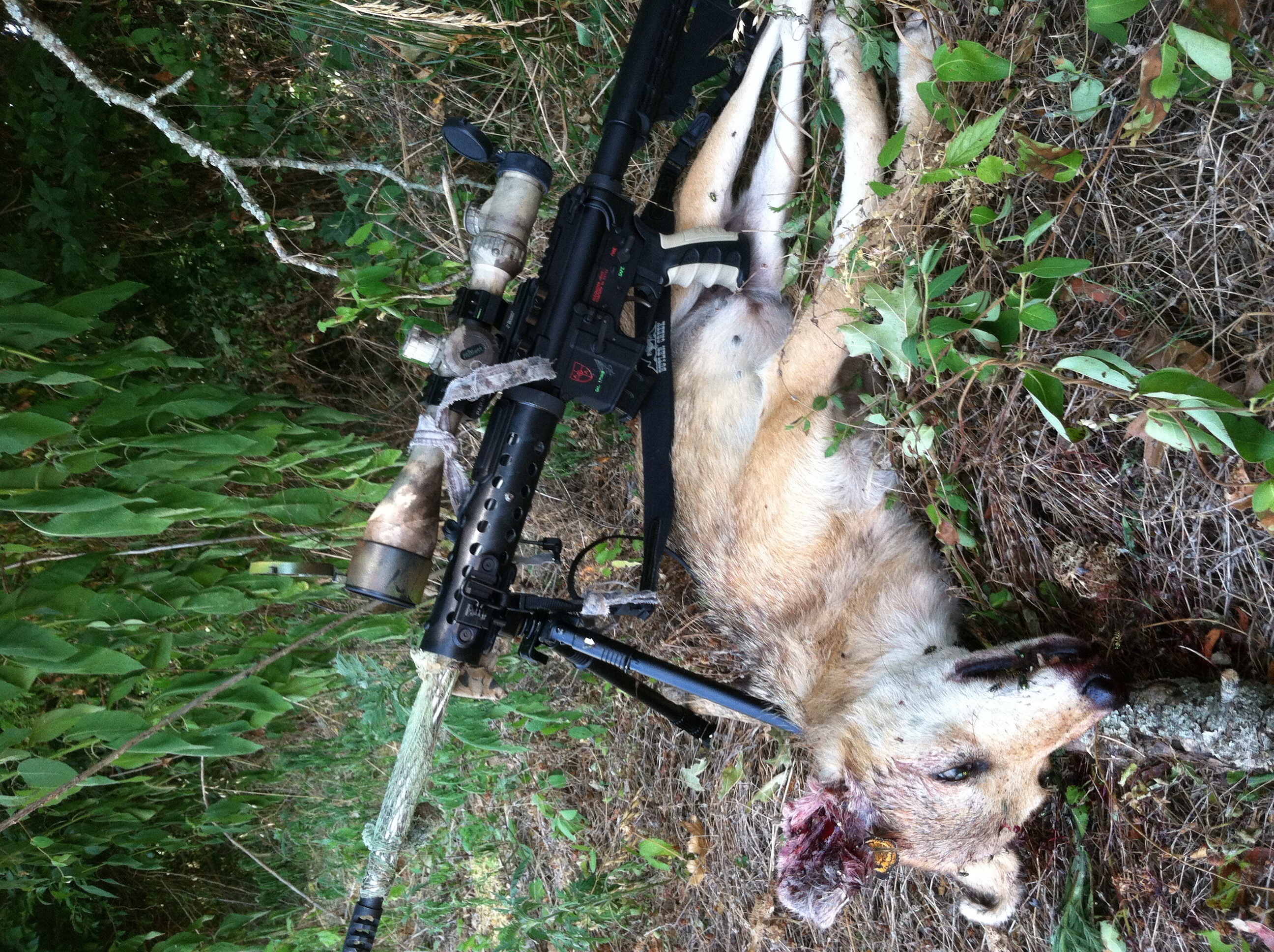
17 Coyote full view

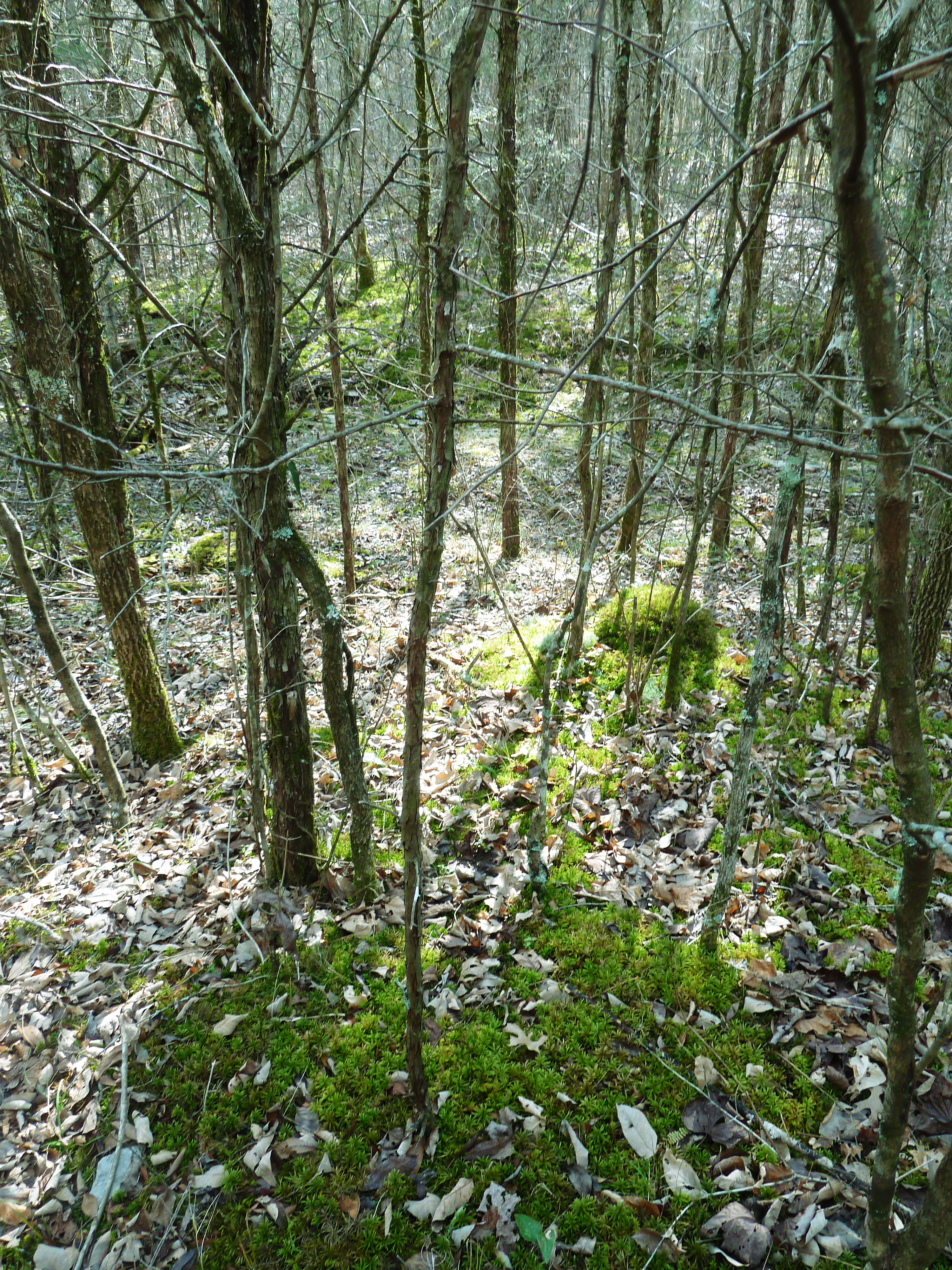
Cheeks Bend Bluff View Trail

Cheeks Bend Bluff View Trail

Cheeks Bend Bluff View Trail

Cheeks Bend Bluff View Trail

Cheeks Bend Bluff View Trail

Cheeks Bend Bluff View Trail

Cheeks Bend Bluff View Trail

Cheeks Bend Bluff View Trail
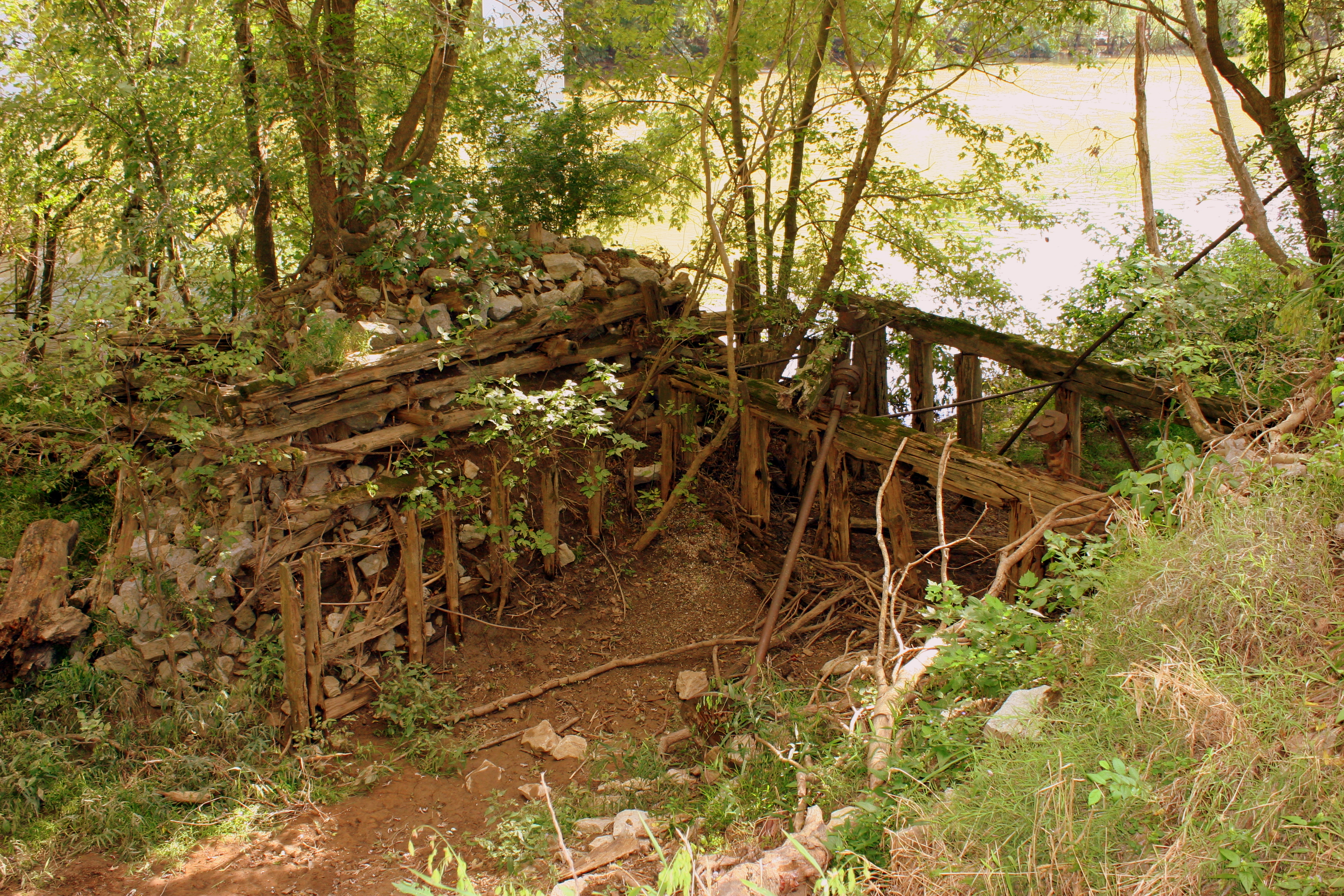
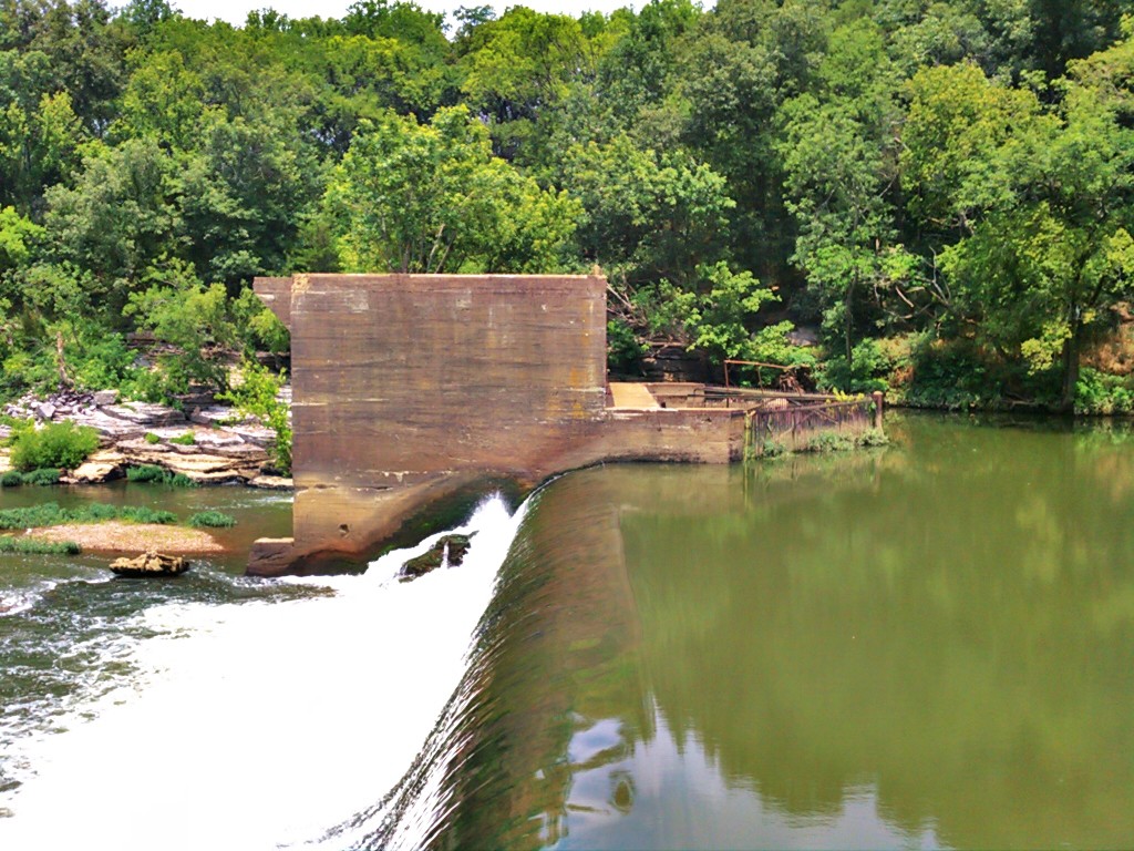
Remains of the 1846 Wilhoite Mill
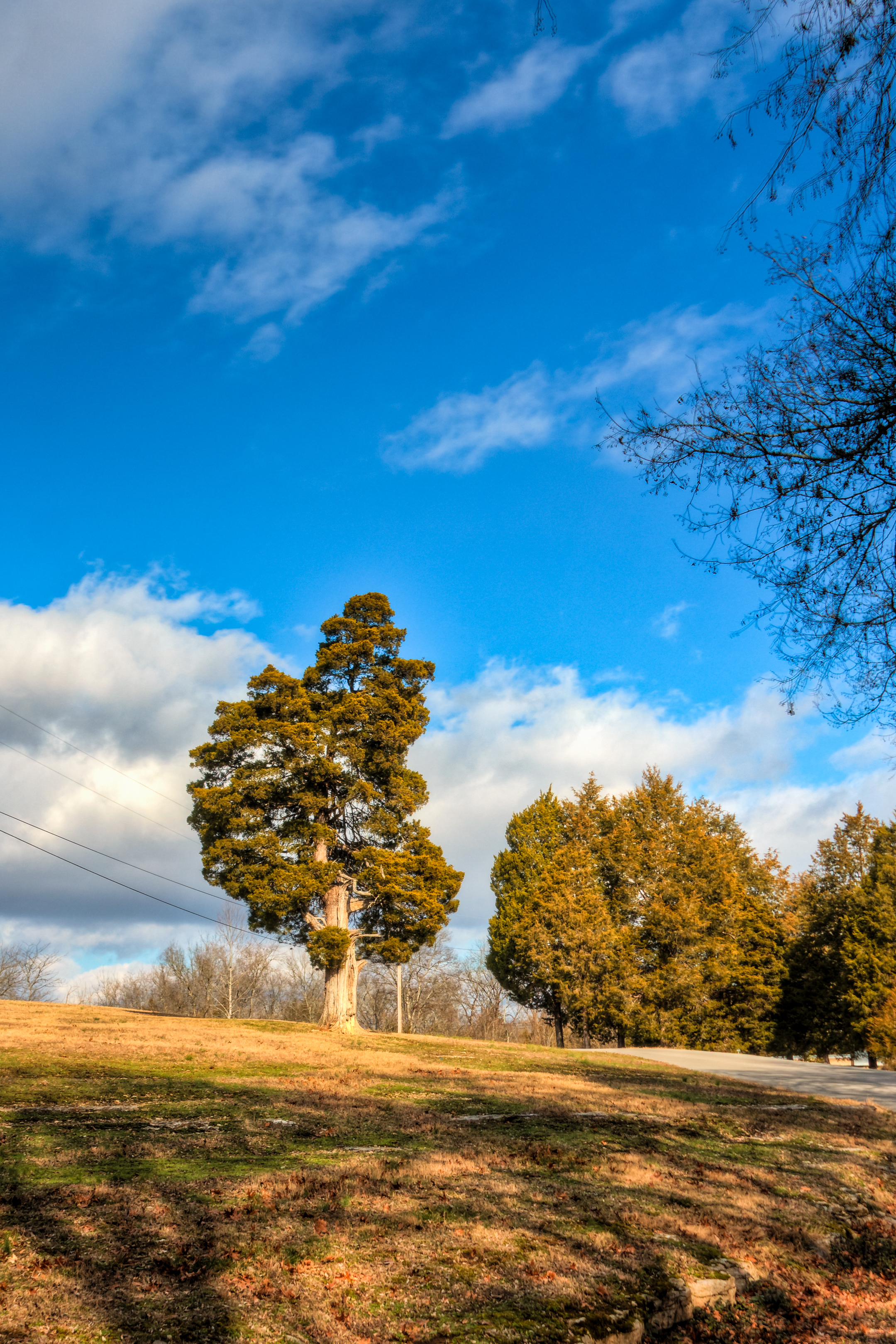
Henry Horton
Henry Horton
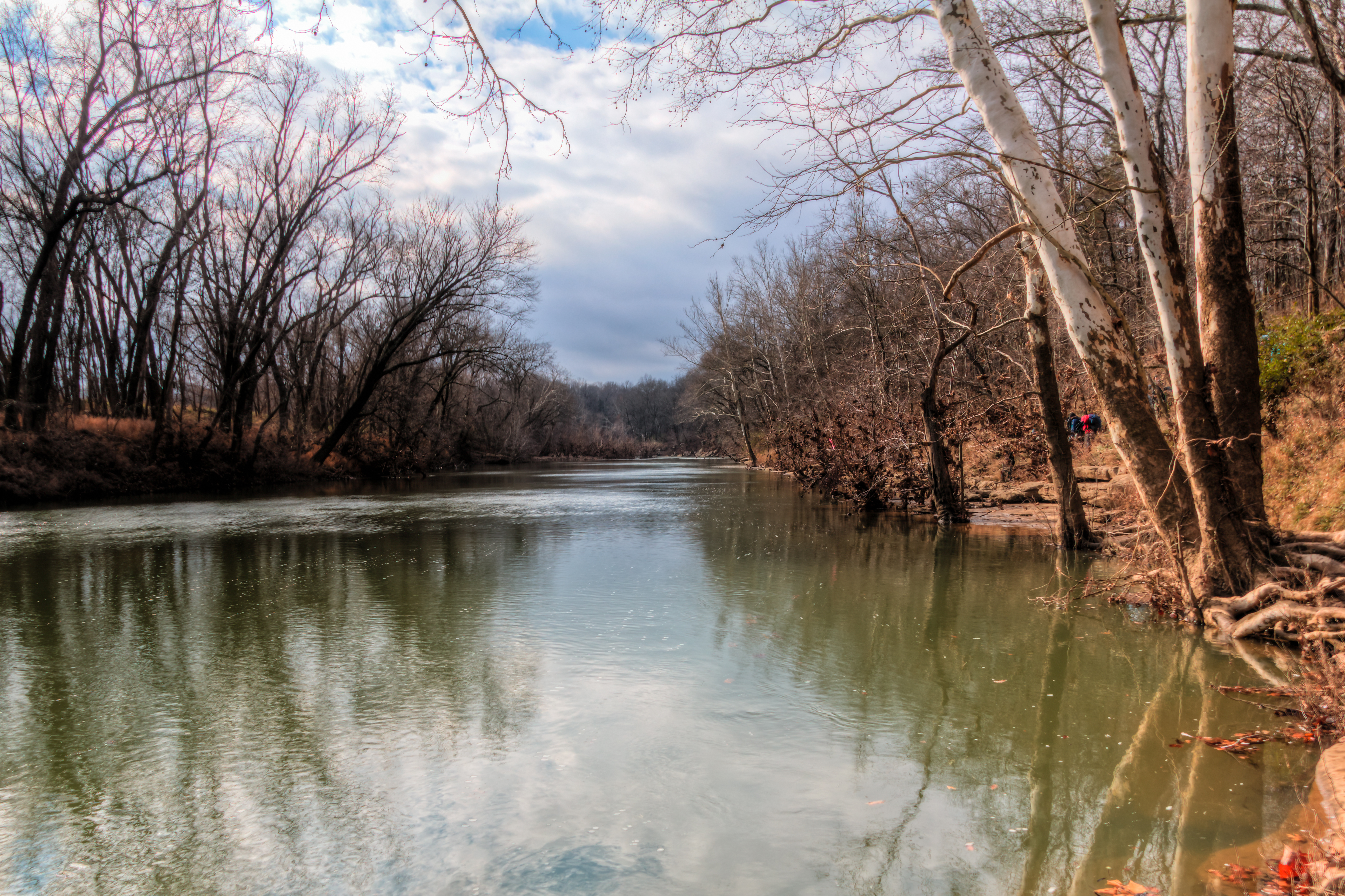
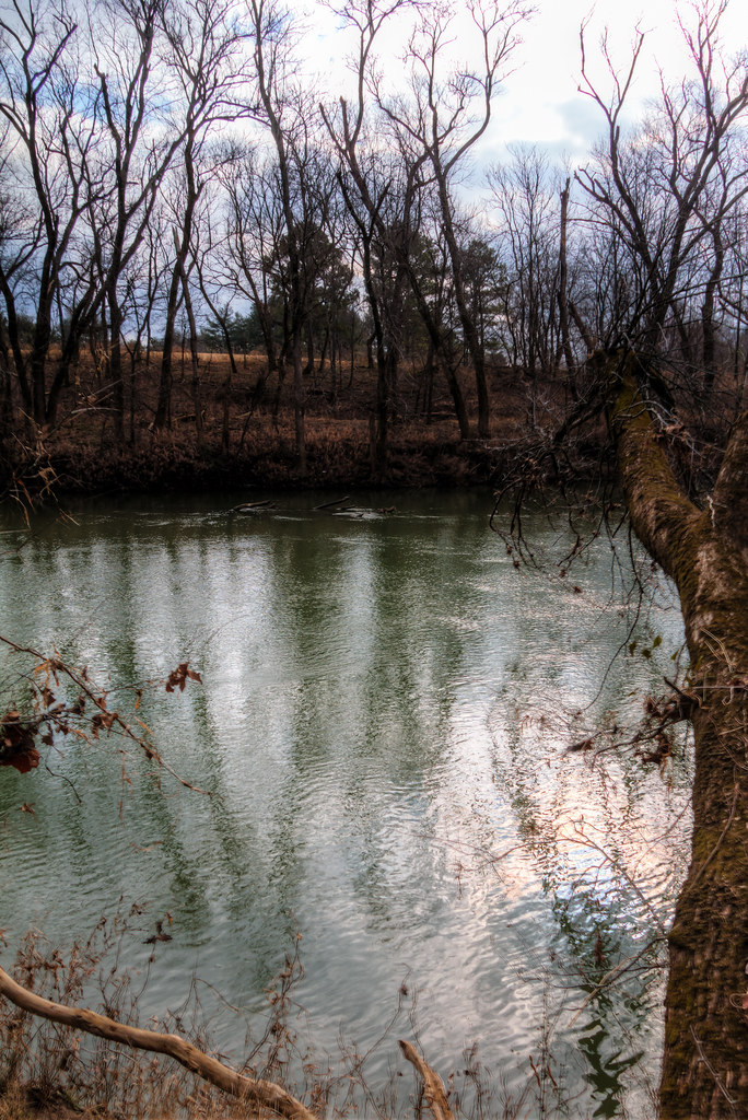
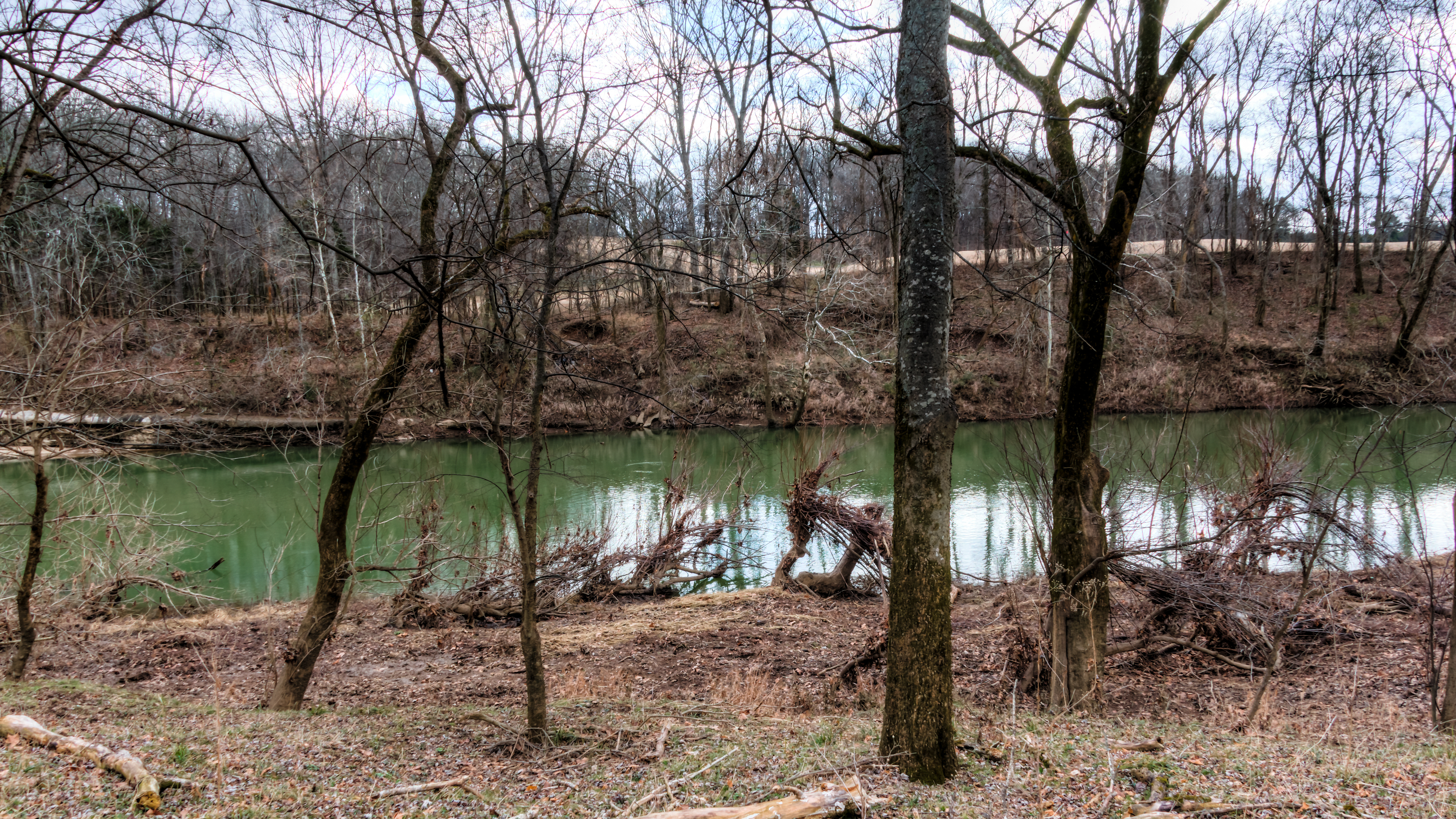
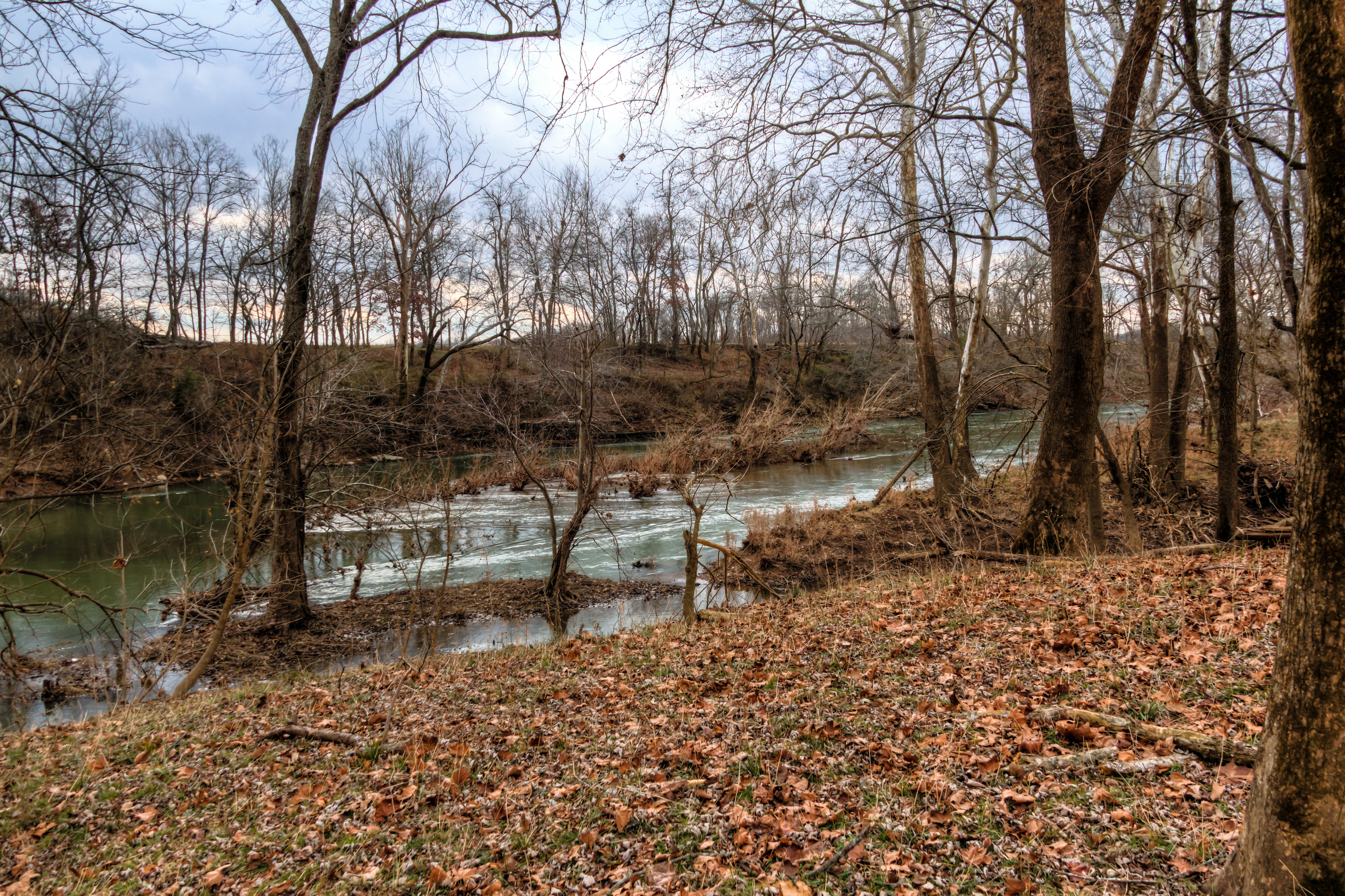
The Duck River at Henry Horton State Park
Henry Horton
Henry Horton
The Duck River at Henry Horton State Park

photo 3.JPG
Hood"s March to Spring Hill

20110108-nhm-henry-horton-duck-river-093
Henry Horton

Of the 788 pictures I have taken of Hannah this week for her 1st Birthday, this is one of my favorites. And it was completely unplanned. After one of our "official" shoots, @therealjohntucker took her for her first barefoot walk in the grass. ❤️:he
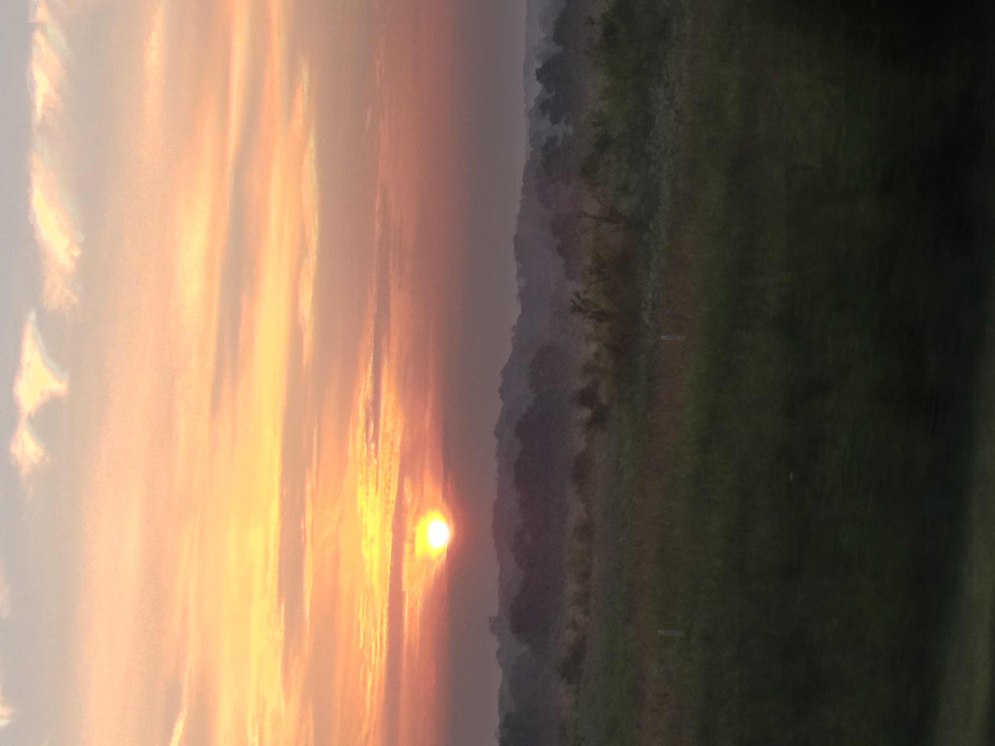
photo 4.JPG

Busy Sky
=)
Henry Horton
The Duck River at Henry Horton State Park
Henry Horton

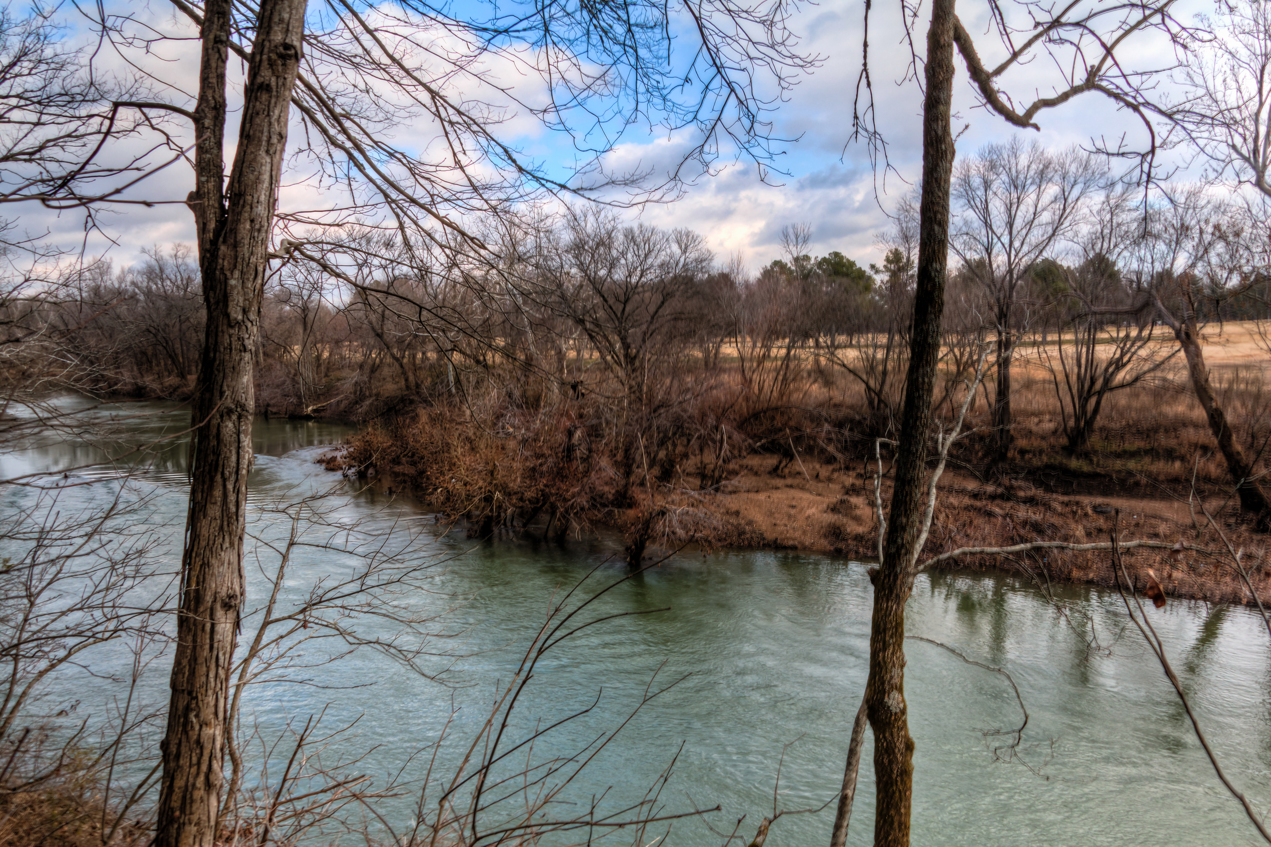
BERLIN ROCK PARK
20110108-nhm-henry-horton-duck-river-148
Topographic Map of Rutledge Ln, Lewisburg, TN, USA
Find elevation by address:

Places near Rutledge Ln, Lewisburg, TN, USA:
Cole Bend Rd, Columbia, TN, USA
4903 Cole Bend Rd
Sylvester Chunn Hwy, Lewisburg, TN, USA
1503 Evelyn Ave
1603 River Rd
Thick Rd, Chapel Hill, TN, USA
Lasea Rd, Spring Hill, TN, USA
4464 Smiley Rd
2089 Paradise Dr
Houston Cheek Rd, Columbia, TN, USA
S Berlin Rd, Lewisburg, TN, USA
Franklin Pike
Lewisburg, TN, USA
Chapel Hill
Irish Way
Nashville Hwy, Lewisburg, TN, USA
3005 Lucky Ln
514 N Horton Pkwy
Spring Hill, TN, USA
2005 Eagle Ct
Recent Searches:
- Elevation of Corso Fratelli Cairoli, 35, Macerata MC, Italy
- Elevation of Tallevast Rd, Sarasota, FL, USA
- Elevation of 4th St E, Sonoma, CA, USA
- Elevation of Black Hollow Rd, Pennsdale, PA, USA
- Elevation of Oakland Ave, Williamsport, PA, USA
- Elevation of Pedrógão Grande, Portugal
- Elevation of Klee Dr, Martinsburg, WV, USA
- Elevation of Via Roma, Pieranica CR, Italy
- Elevation of Tavkvetili Mountain, Georgia
- Elevation of Hartfords Bluff Cir, Mt Pleasant, SC, USA