Elevation of Thayarwaddy, Myanmar (Burma)
Location: Myanmar (burma) > Bago Region >
Longitude: 95.7773898
Latitude: 17.6495376
Elevation: 15m / 49feet
Barometric Pressure: 101KPa
Elevation Map:
Satellite Map:
Related Photos:

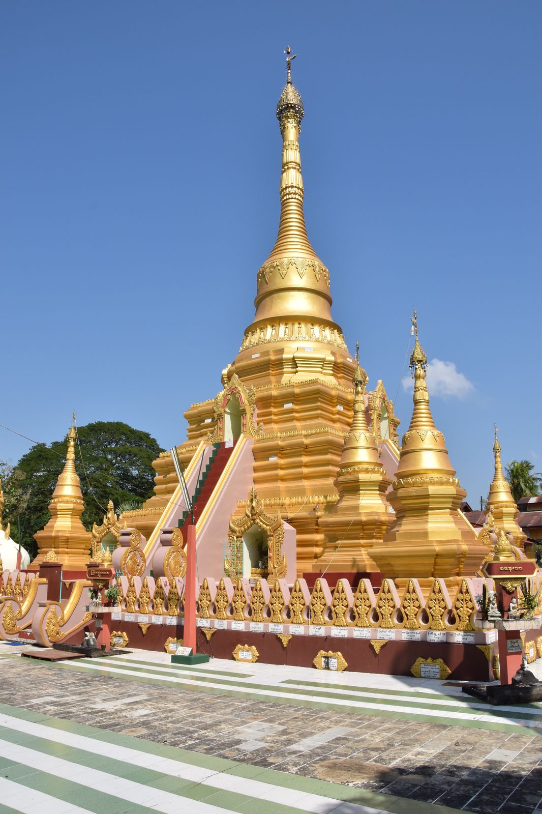
Mahal Zedy Hla Pagoda / Thonse, near Tharrawaddy, Myanmar/

Mahal Zedy Hla Pagoda / Thonse, near Tharrawaddy, Myanmar/

Mahal Zedy Hla Pagoda / Thonse, near Tharrawaddy, Myanmar/

Mahal Zedy Hla Pagoda / Thonse, near Tharrawaddy, Myanmar/
Mahal Zedy Hla Pagoda / Thonse, near Tharrawaddy, Myanmar/

On the 62down between Bagan and Yangon
Topographic Map of Thayarwaddy, Myanmar (Burma)
Find elevation by address:

Places near Thayarwaddy, Myanmar (Burma):
Minhla
Joe Phyu Stadium
Yangon (north)
Hmawbi
Hmawbi Township Hospital
Yangon Region
Hlegu
Cb Bank (hlegu Branch)
Maubin
Shwepyithar
No.7 Ward
Bago
Cb Bank (bago Branch)
Hlaing Thar Yar
Cb Bank (bago- Leikpyarkan Branch)
Than Chet Wun U Nyunt Street
Shwe Lin Ban Industry Zone
Bago
Shwe Lin Ban Monastery
Insein Township
Recent Searches:
- Elevation of Corso Fratelli Cairoli, 35, Macerata MC, Italy
- Elevation of Tallevast Rd, Sarasota, FL, USA
- Elevation of 4th St E, Sonoma, CA, USA
- Elevation of Black Hollow Rd, Pennsdale, PA, USA
- Elevation of Oakland Ave, Williamsport, PA, USA
- Elevation of Pedrógão Grande, Portugal
- Elevation of Klee Dr, Martinsburg, WV, USA
- Elevation of Via Roma, Pieranica CR, Italy
- Elevation of Tavkvetili Mountain, Georgia
- Elevation of Hartfords Bluff Cir, Mt Pleasant, SC, USA