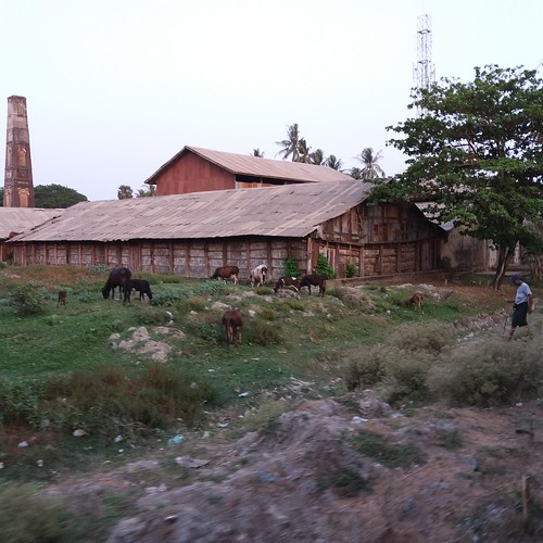
Elevation of Minhla, Myanmar (Burma)
Location: Myanmar (burma) > Bago Region >
Longitude: 95.7062924
Latitude: 17.9790963
Elevation: 24m / 79feet
Barometric Pressure: 101KPa
Related Photos:
Topographic Map of Minhla, Myanmar (Burma)
Find elevation by address:

Places near Minhla, Myanmar (Burma):
Thayarwaddy
Joe Phyu Stadium
Yangon (north)
Hmawbi
Bago
Hmawbi Township Hospital
Yangon Region
Bago
Cb Bank (bago Branch)
Cb Bank (bago- Leikpyarkan Branch)
Hlegu
Cb Bank (hlegu Branch)
Maubin
Shwepyithar
No.7 Ward
Hlaing Thar Yar
Than Chet Wun U Nyunt Street
Shwe Lin Ban Industry Zone
Shwe Lin Ban Monastery
Insein Township
Recent Searches:
- Elevation of Corso Fratelli Cairoli, 35, Macerata MC, Italy
- Elevation of Tallevast Rd, Sarasota, FL, USA
- Elevation of 4th St E, Sonoma, CA, USA
- Elevation of Black Hollow Rd, Pennsdale, PA, USA
- Elevation of Oakland Ave, Williamsport, PA, USA
- Elevation of Pedrógão Grande, Portugal
- Elevation of Klee Dr, Martinsburg, WV, USA
- Elevation of Via Roma, Pieranica CR, Italy
- Elevation of Tavkvetili Mountain, Georgia
- Elevation of Hartfords Bluff Cir, Mt Pleasant, SC, USA


