Elevation of th St, Moorland, IA, USA
Location: United States > Iowa > Webster County > Fulton > Moorland >
Longitude: -94.274937
Latitude: 42.456926
Elevation: 344m / 1129feet
Barometric Pressure: 97KPa
Elevation Map:
Satellite Map:
Related Photos:

Wells Fargo Bank

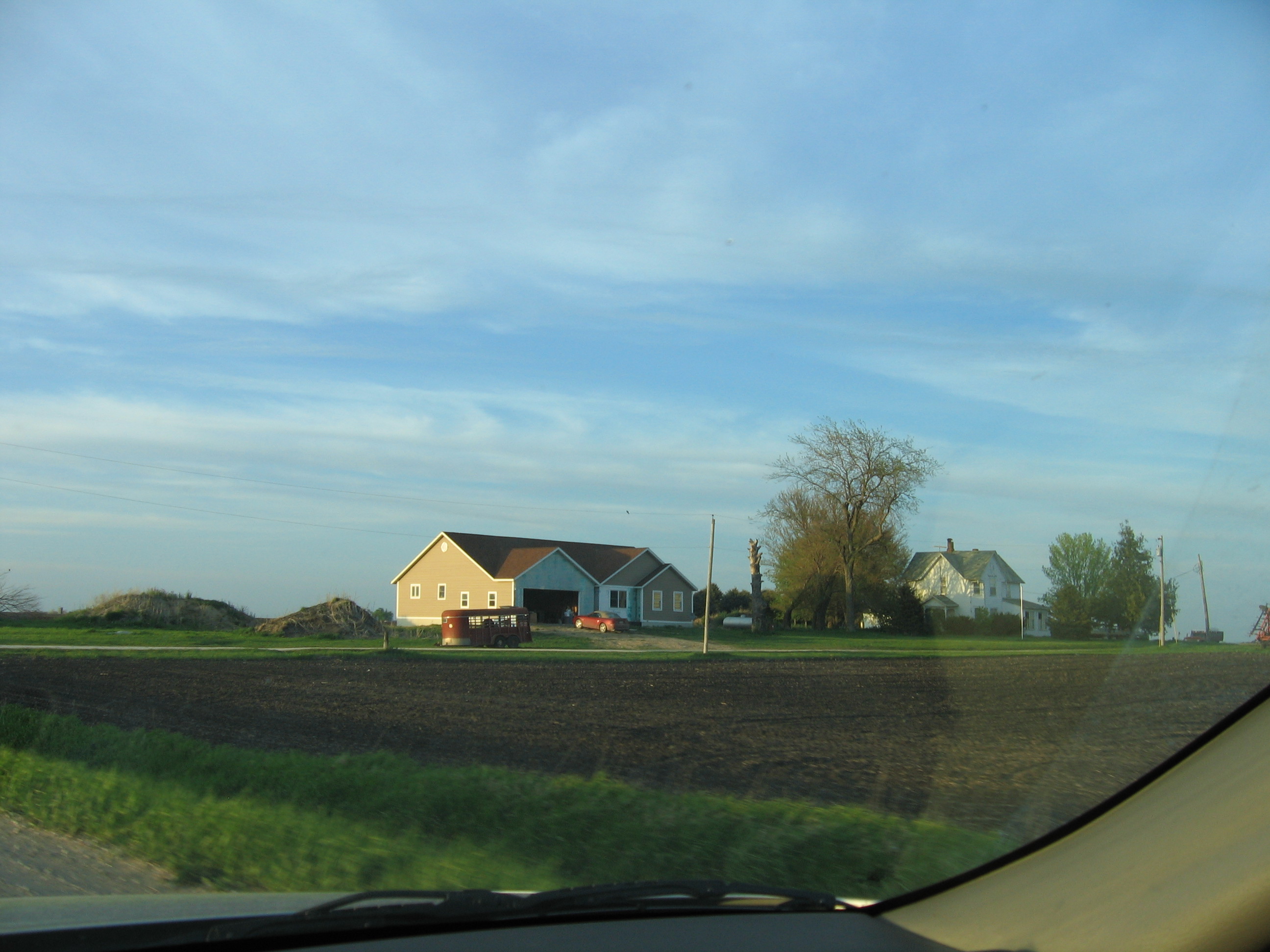
House Across Field

Connecting tower (bw)
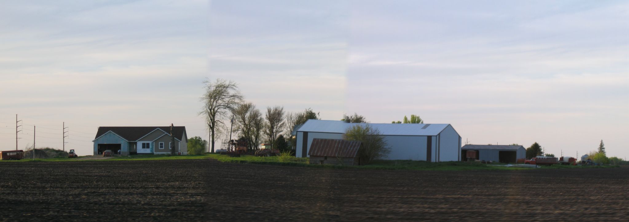
House Across Field 3

Day 147: Memorialized

Fort Dodge

Day 161: Freak Fog

My private ride to MSP.

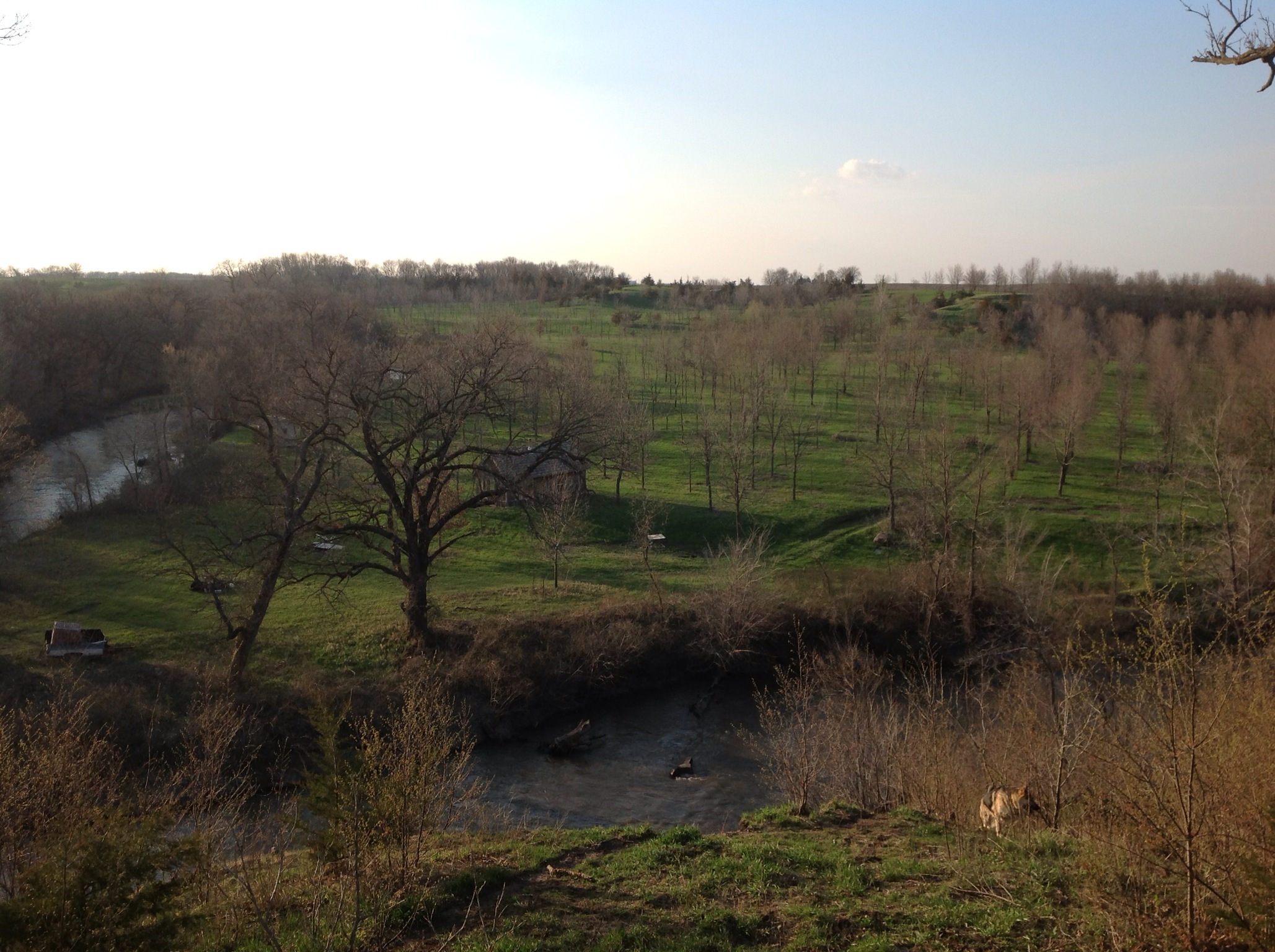
Day 1443: River Ups & Downs

RAGBRAI 2015

Iowa sunset over a cornfield #iowa #sunset #cornfield

Day 203: In the Half Shell

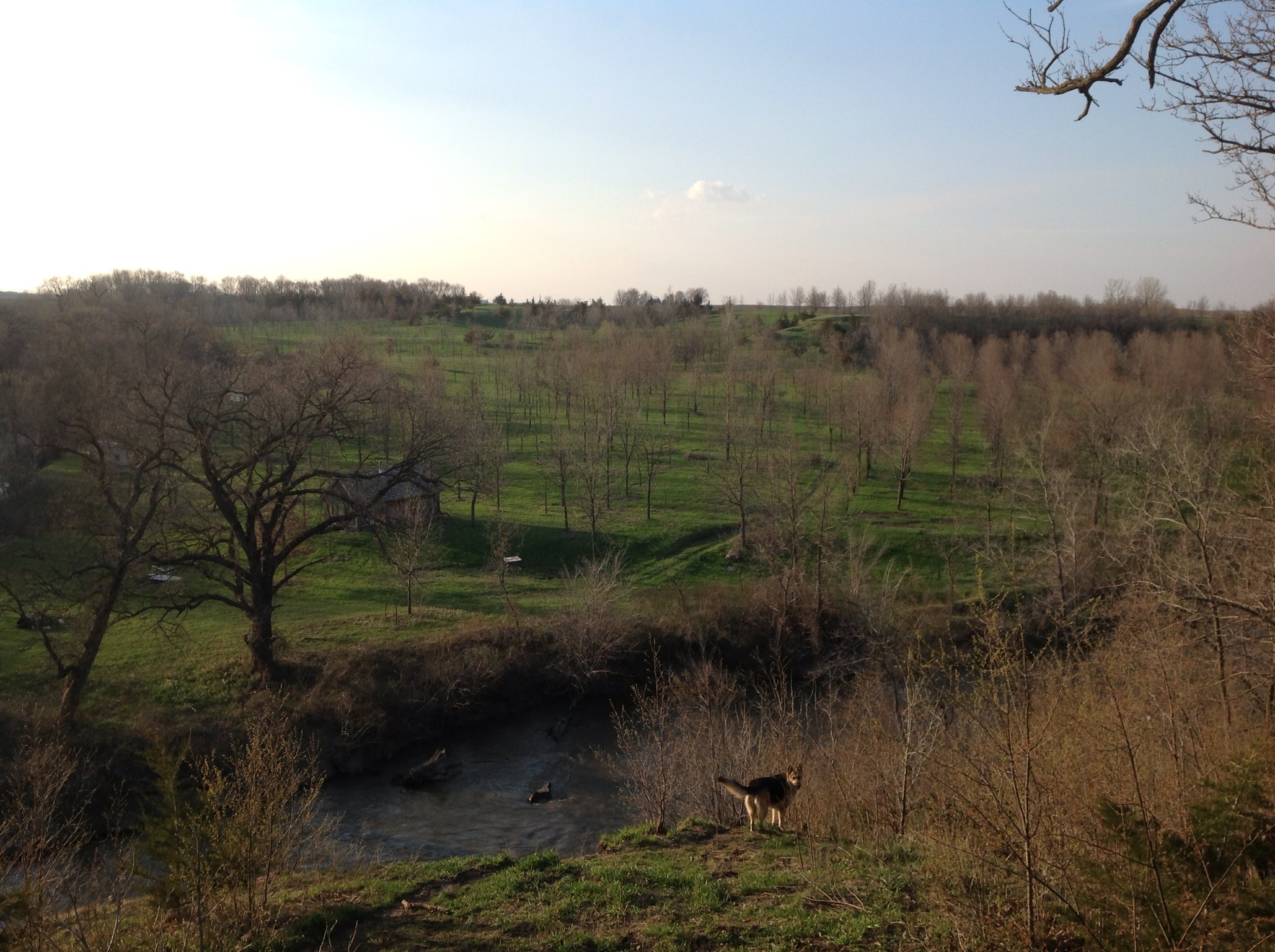
Day 1425: My Water's All Gone
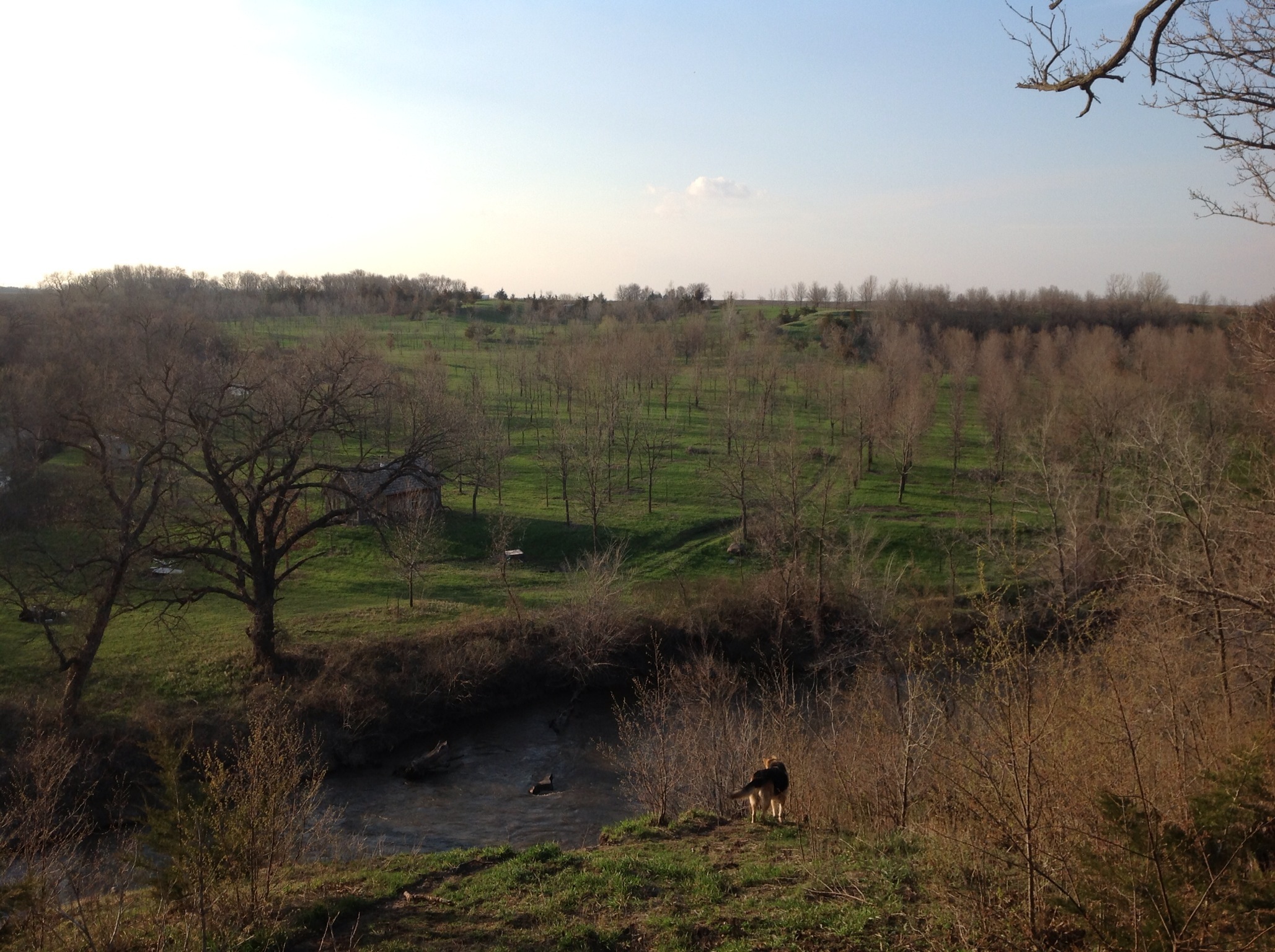
Day 1246: Memorial Bones
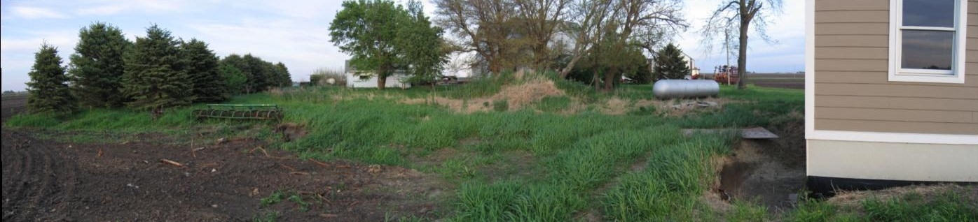
Pano Northside Short 1
Pan South Side Front
My Photo Stream-76
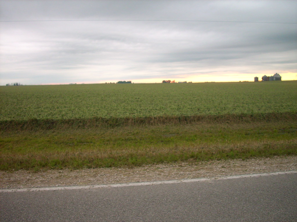
Bean field
My Photo Stream-75
My Photo Stream-74

Syncronized running

Knee high by the Fourth of July #corn #oceansofcorn 177/365 #project365 #365

My Photo Stream-99
Topographic Map of th St, Moorland, IA, USA
Find elevation by address:

Places near th St, Moorland, IA, USA:
Main St, Moorland, IA, USA
Moorland
Fulton
1st St, Moorland, IA, USA
Callender
618 Williams St
Barnum
Front St, Barnum, IA, USA
Johnson
th St, Barnum, IA, USA
Roland
W Front St, Clare, IA, USA
Clare
Baxter Ave, Gowrie, IA, USA
Jackson
1250 Xenia Ave
th St, Farnhamville, IA, USA
Garfield Ave, Farnhamville, IA, USA
Farnhamville
Cedar
Recent Searches:
- Elevation of Corso Fratelli Cairoli, 35, Macerata MC, Italy
- Elevation of Tallevast Rd, Sarasota, FL, USA
- Elevation of 4th St E, Sonoma, CA, USA
- Elevation of Black Hollow Rd, Pennsdale, PA, USA
- Elevation of Oakland Ave, Williamsport, PA, USA
- Elevation of Pedrógão Grande, Portugal
- Elevation of Klee Dr, Martinsburg, WV, USA
- Elevation of Via Roma, Pieranica CR, Italy
- Elevation of Tavkvetili Mountain, Georgia
- Elevation of Hartfords Bluff Cir, Mt Pleasant, SC, USA