Elevation of Clare, IA, USA
Location: United States > Iowa > Webster County > Jackson >
Longitude: -94.346079
Latitude: 42.5888614
Elevation: 370m / 1214feet
Barometric Pressure: 97KPa
Elevation Map:
Satellite Map:
Related Photos:
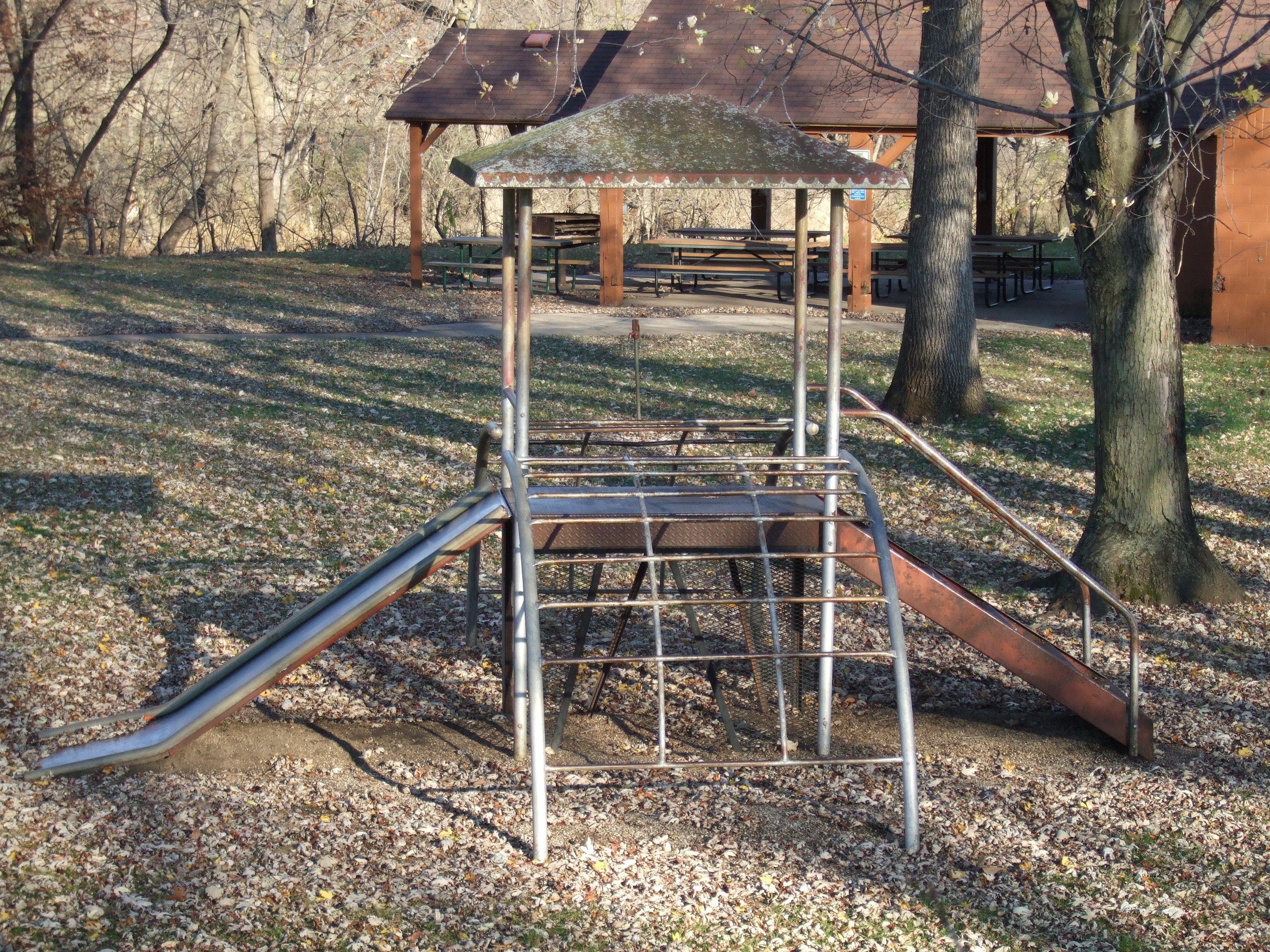
Miracle Jack and Jill
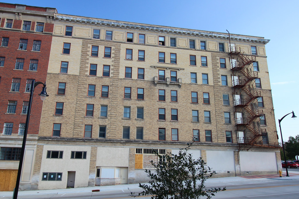
Wahkonsa Hotel (rear view) - Fort Dodge, IA

My private ride to MSP.
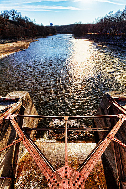
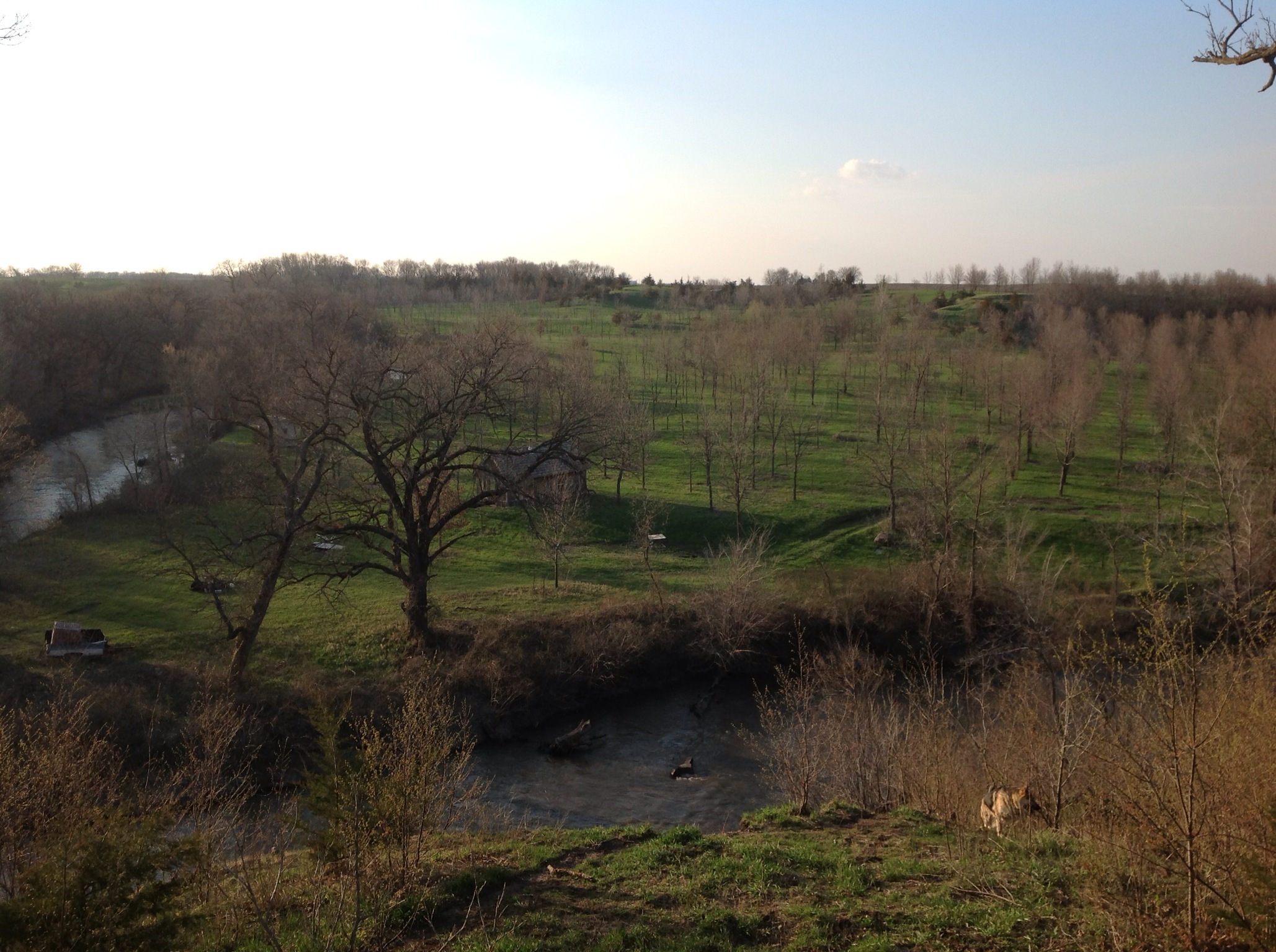
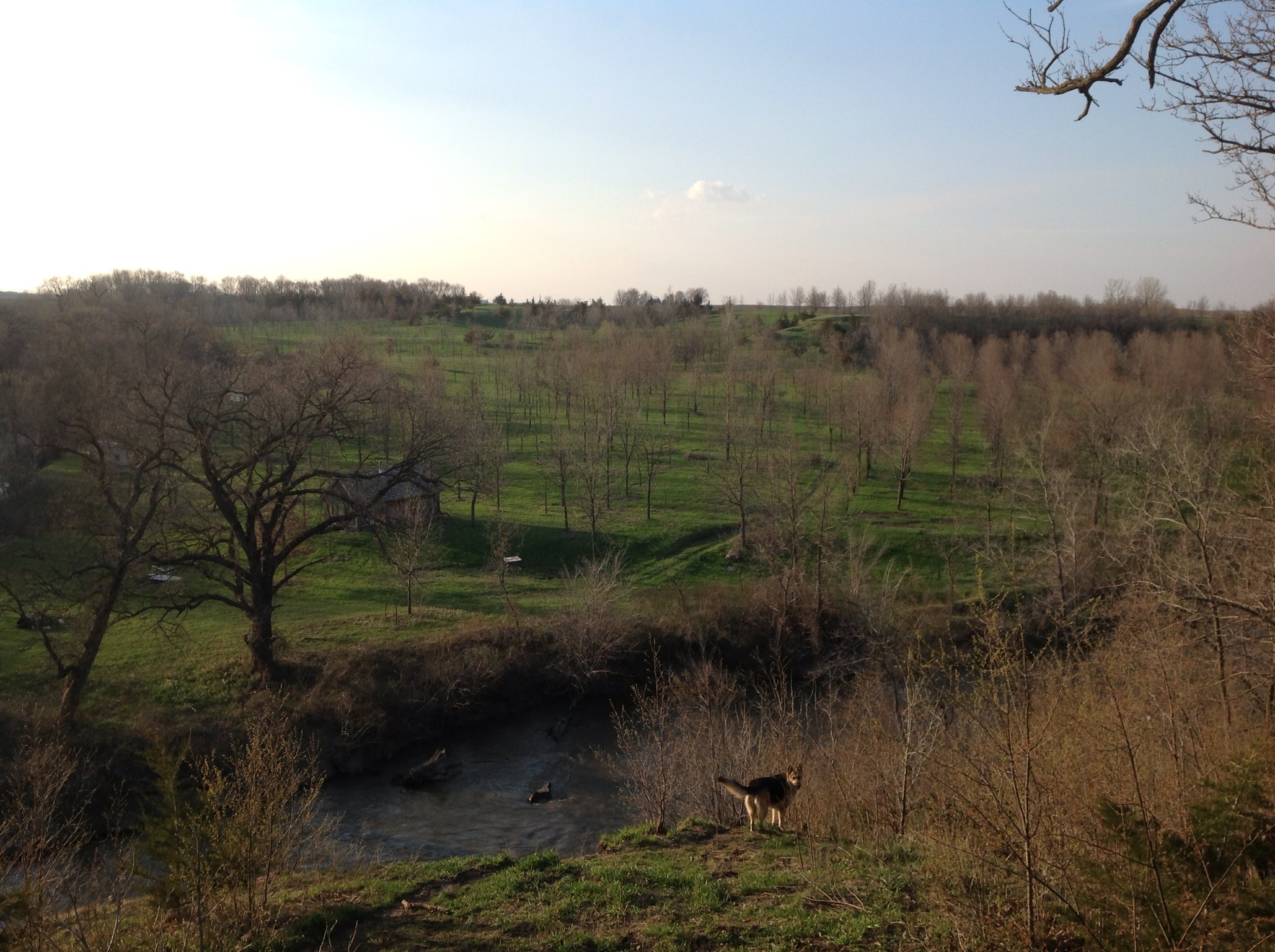
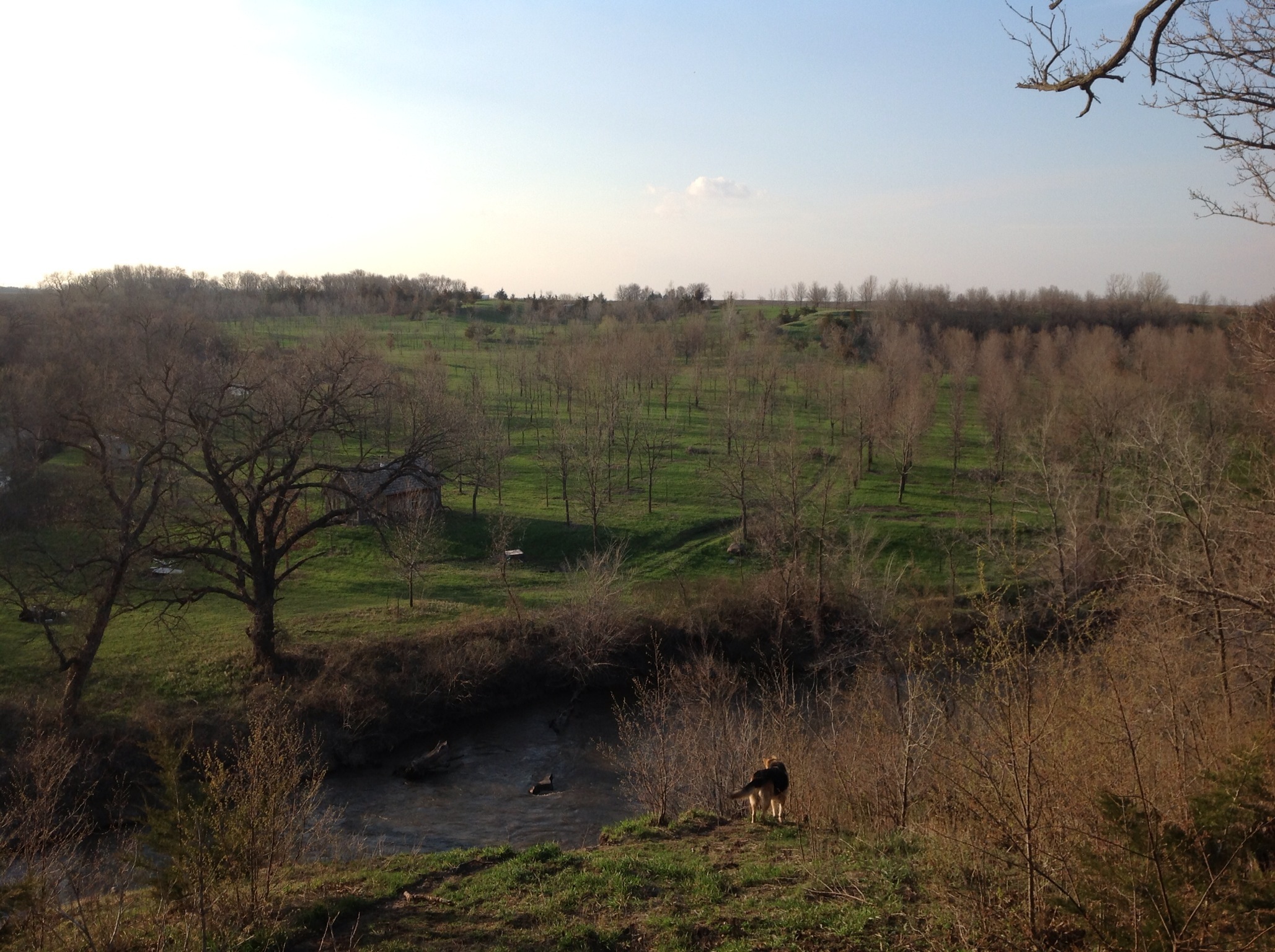
Day 1443: River Ups & Downs

Day 1425: My Water's All Gone
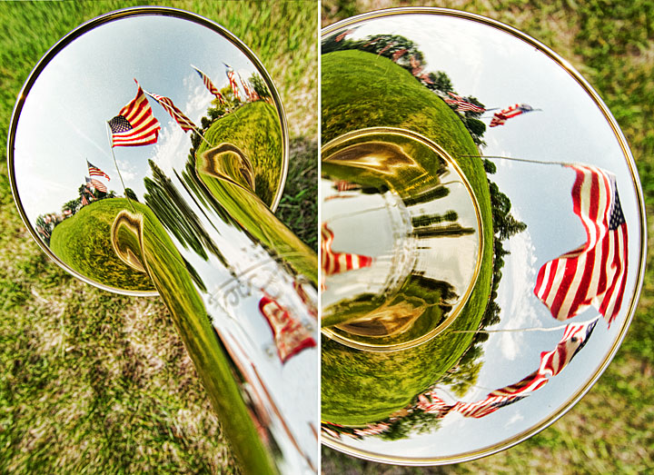
Day 1246: Memorial Bones
My Photo Stream-76

Coopers Cove Pond
My Photo Stream-75
My Photo Stream-74

Knee high by the Fourth of July #corn #oceansofcorn 177/365 #project365 #365

My Photo Stream-77
Topographic Map of Clare, IA, USA
Find elevation by address:

Places in Clare, IA, USA:
Places near Clare, IA, USA:
W Front St, Clare, IA, USA
Jackson
Johnson
Front St, Barnum, IA, USA
Barnum
th St, Barnum, IA, USA
1637 230th St
Moorland
Main St, Moorland, IA, USA
1250 Xenia Ave
Lincoln
1st St, Moorland, IA, USA
Fulton
1509 Main St
10th Ave, Manson, IA, USA
Manson
917 8th Ave
Country Store
Callender
618 Williams St
Recent Searches:
- Elevation of Corso Fratelli Cairoli, 35, Macerata MC, Italy
- Elevation of Tallevast Rd, Sarasota, FL, USA
- Elevation of 4th St E, Sonoma, CA, USA
- Elevation of Black Hollow Rd, Pennsdale, PA, USA
- Elevation of Oakland Ave, Williamsport, PA, USA
- Elevation of Pedrógão Grande, Portugal
- Elevation of Klee Dr, Martinsburg, WV, USA
- Elevation of Via Roma, Pieranica CR, Italy
- Elevation of Tavkvetili Mountain, Georgia
- Elevation of Hartfords Bluff Cir, Mt Pleasant, SC, USA