Elevation of th St, Lucas, KS, USA
Location: United States > Kansas > Russell County > Fairview >
Longitude: -98.485161
Latitude: 39.1326504
Elevation: 500m / 1640feet
Barometric Pressure: 95KPa
Elevation Map:
Satellite Map:
Related Photos:
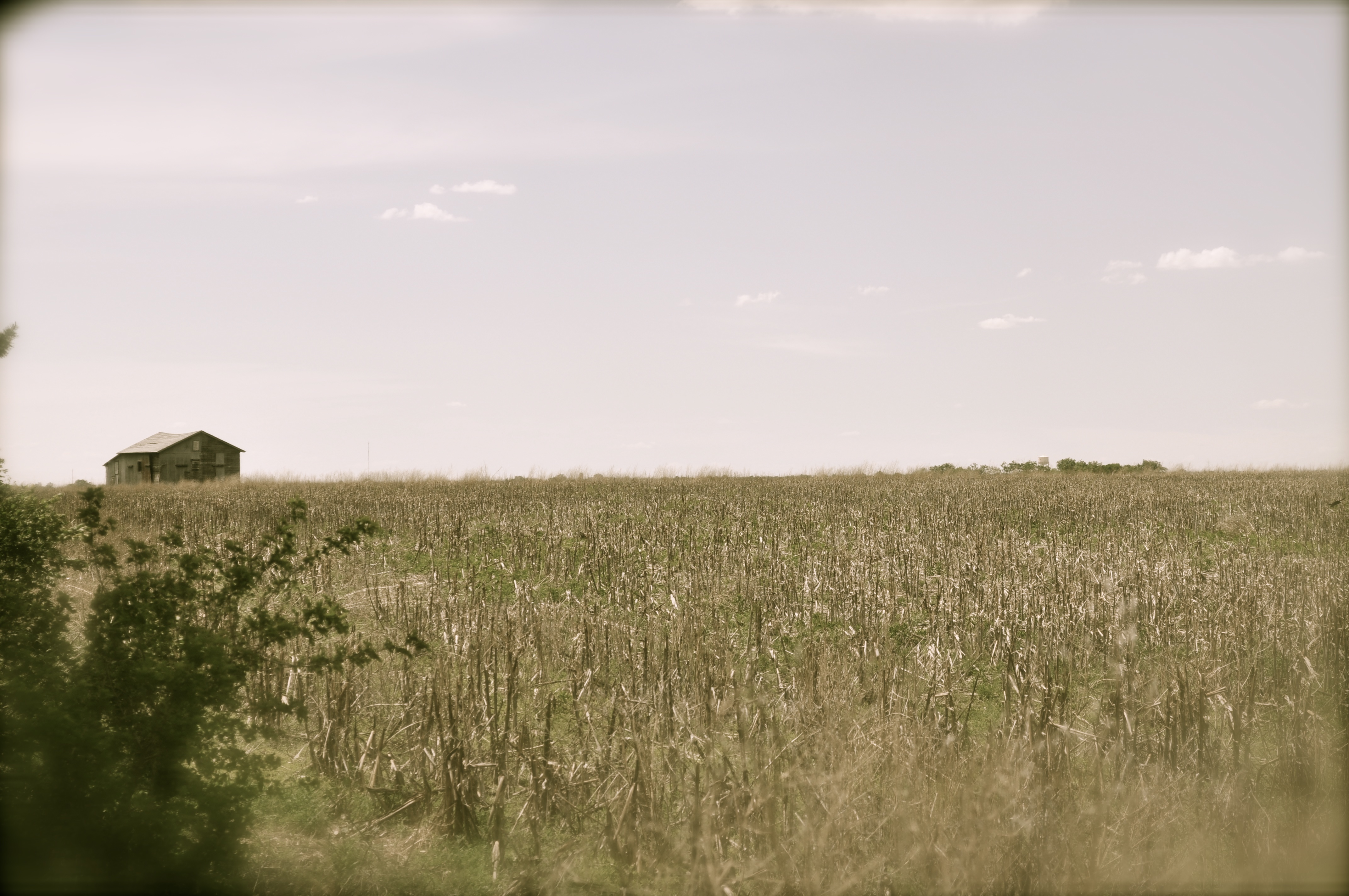
Nice view

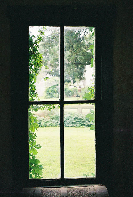
Interior View, Florence Deeble House ~ Lucas, Kansas

Interior View, Deeble House (Garden of Isis)
Garden View of "Eternal Spring"
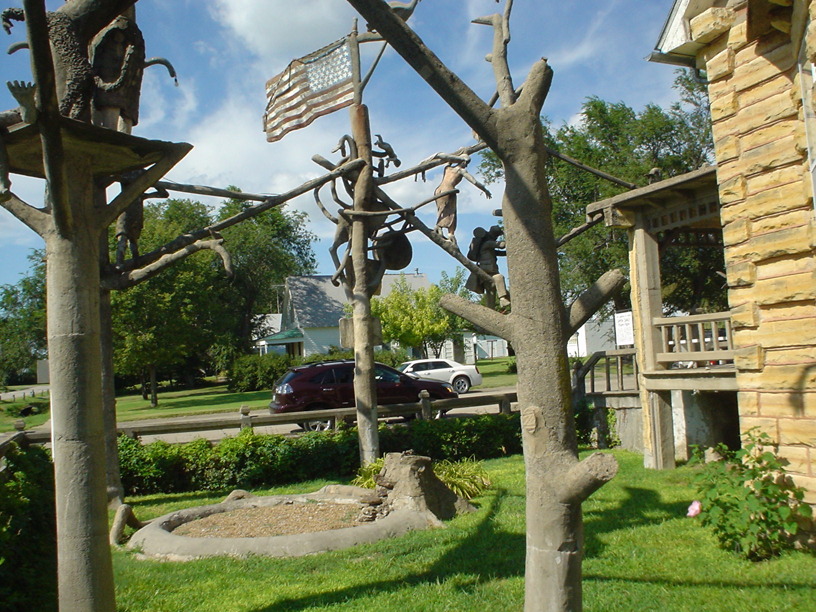
The Temple of Isis
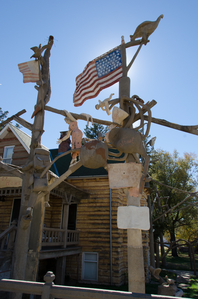
Predators Detail
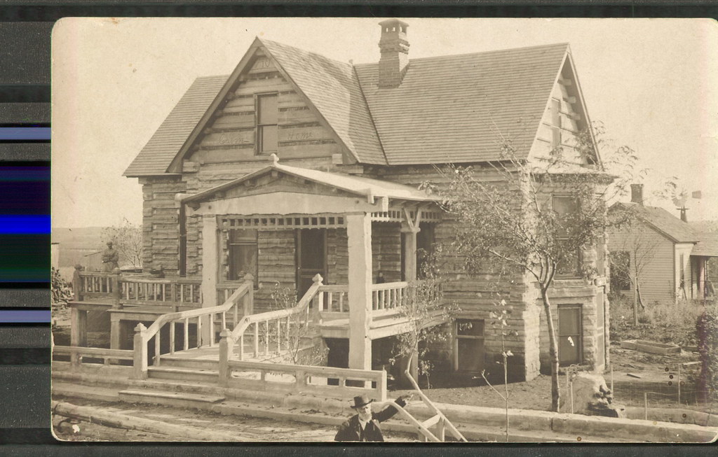
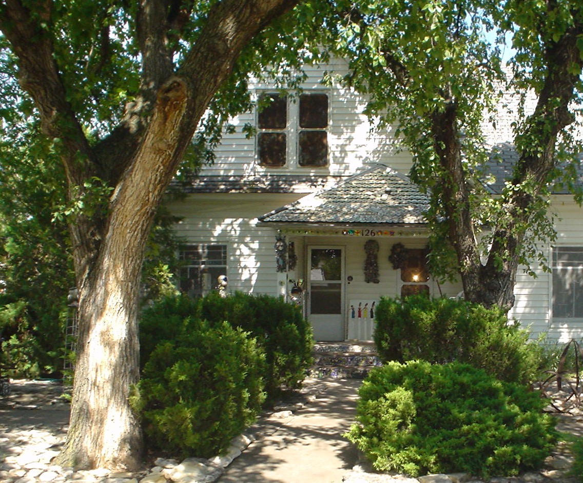
Cabin Home and S.P. Dinsmoor
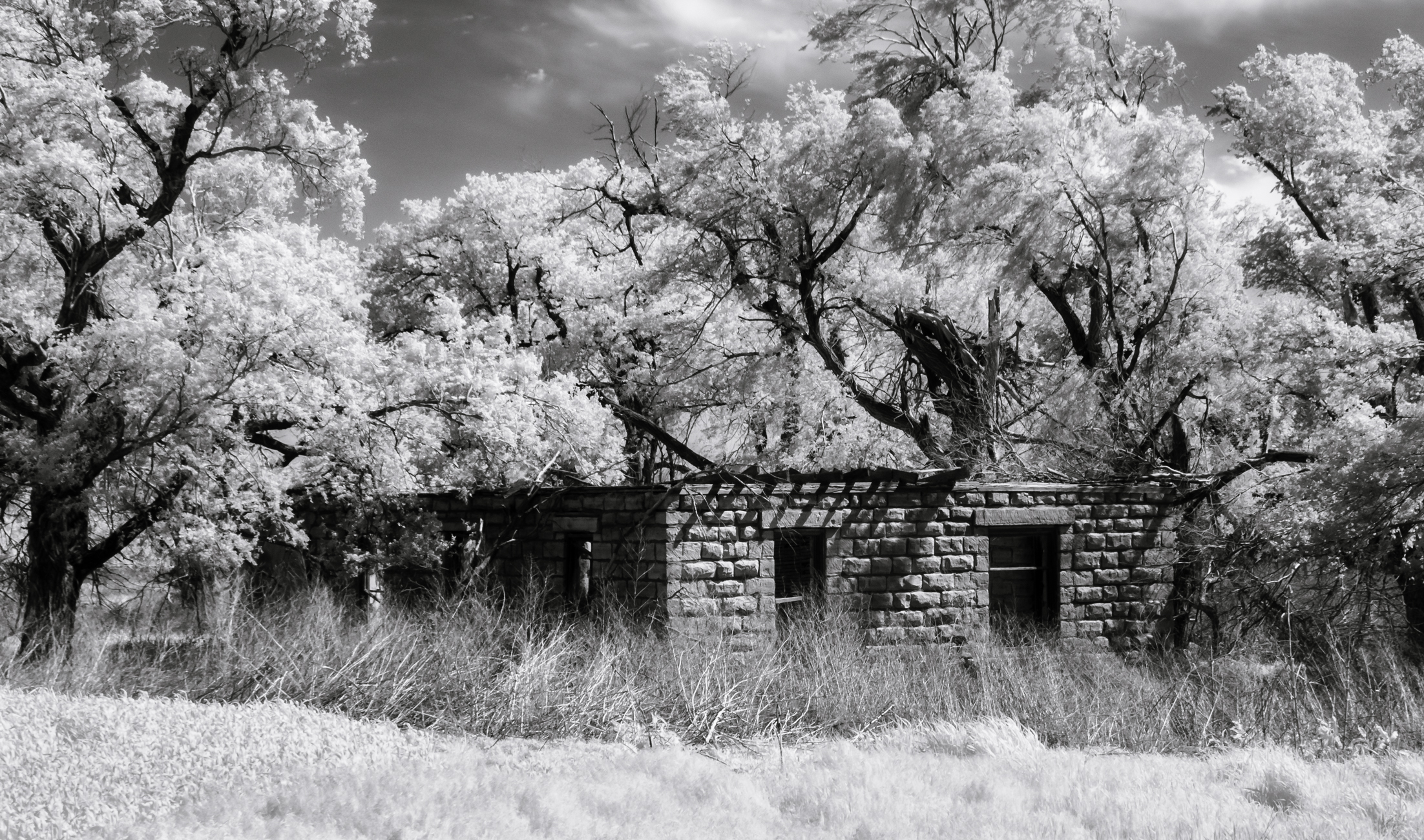
School. Sky. Shadows.
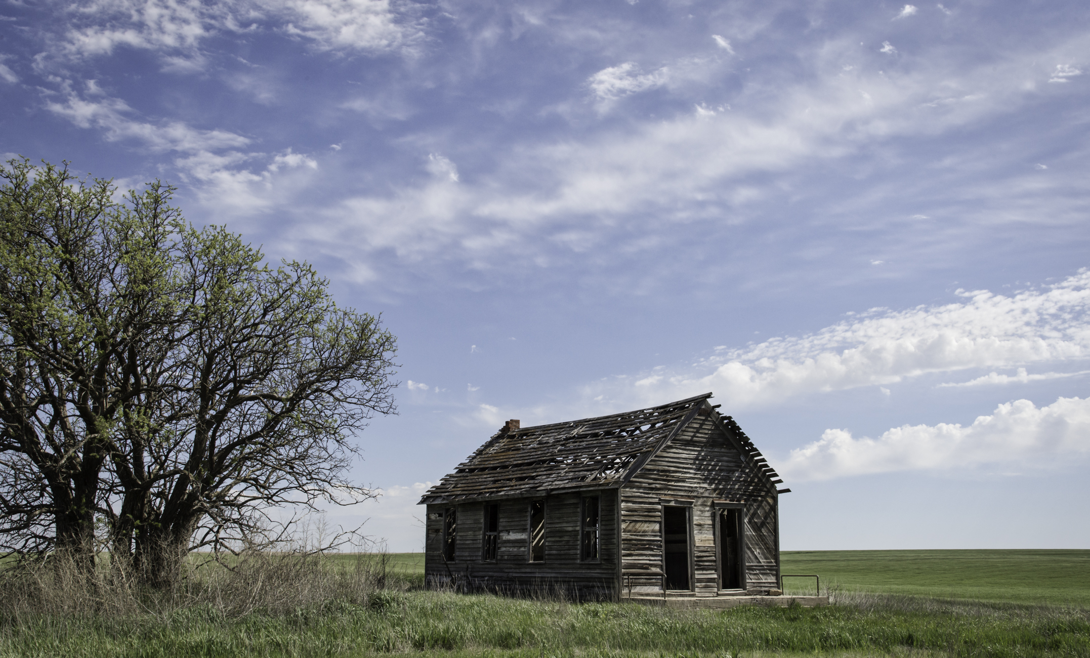
Shady Repose
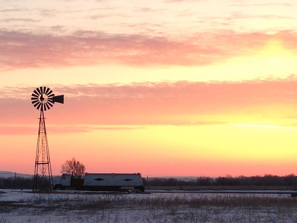
Sunrise in Post Rock Country
Kansas.

Wolf Creek (look at those buried soils!)
Topographic Map of th St, Lucas, KS, USA
Find elevation by address:

Places near th St, Lucas, KS, USA:
S Main St, Lucas, KS, USA
Lucas
Kansas
Fairview
Old 40 Rd, Dorrance, KS, USA
Dorrance
Wilson
27th St, Wilson, KS, USA
Plymouth
Russell County
Mellard Road
E 11th St, Russell, KS, USA
Russell
Independent
Claflin
W Williamson St, Claflin, KS, USA
1530 Random Rd
1506 N Center St
1503 Random Rd
Hoisington
Recent Searches:
- Elevation of Corso Fratelli Cairoli, 35, Macerata MC, Italy
- Elevation of Tallevast Rd, Sarasota, FL, USA
- Elevation of 4th St E, Sonoma, CA, USA
- Elevation of Black Hollow Rd, Pennsdale, PA, USA
- Elevation of Oakland Ave, Williamsport, PA, USA
- Elevation of Pedrógão Grande, Portugal
- Elevation of Klee Dr, Martinsburg, WV, USA
- Elevation of Via Roma, Pieranica CR, Italy
- Elevation of Tavkvetili Mountain, Georgia
- Elevation of Hartfords Bluff Cir, Mt Pleasant, SC, USA