Elevation of W Williamson St, Claflin, KS, USA
Location: United States > Kansas > Barton County > Independent > Claflin >
Longitude: -98.534394
Latitude: 38.5244747
Elevation: 552m / 1811feet
Barometric Pressure: 95KPa
Elevation Map:
Satellite Map:
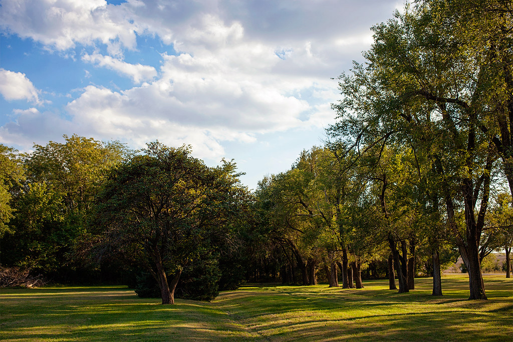
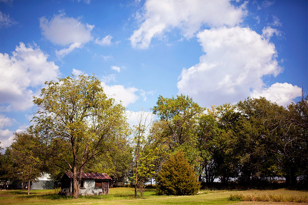
Related Photos:

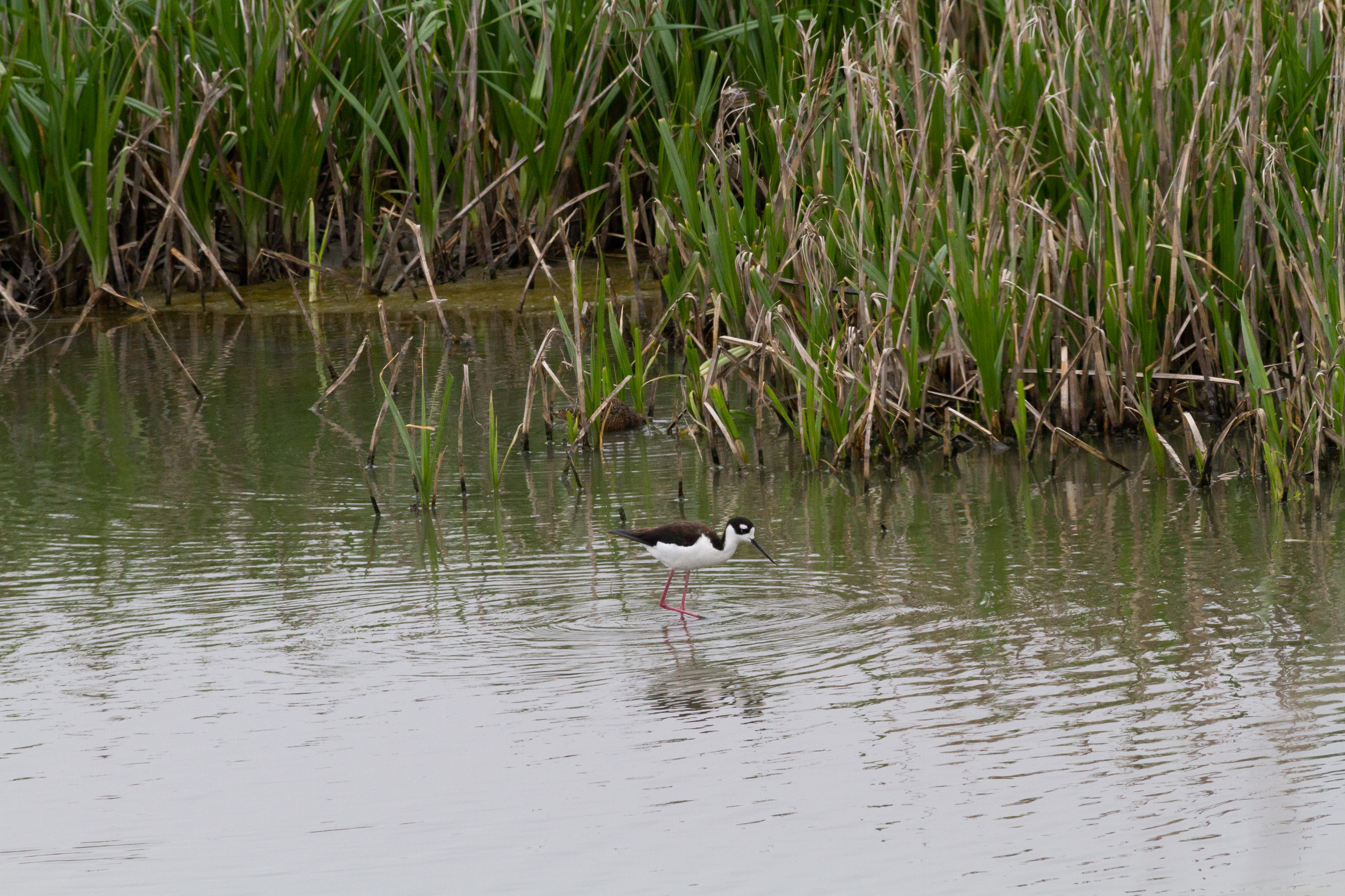
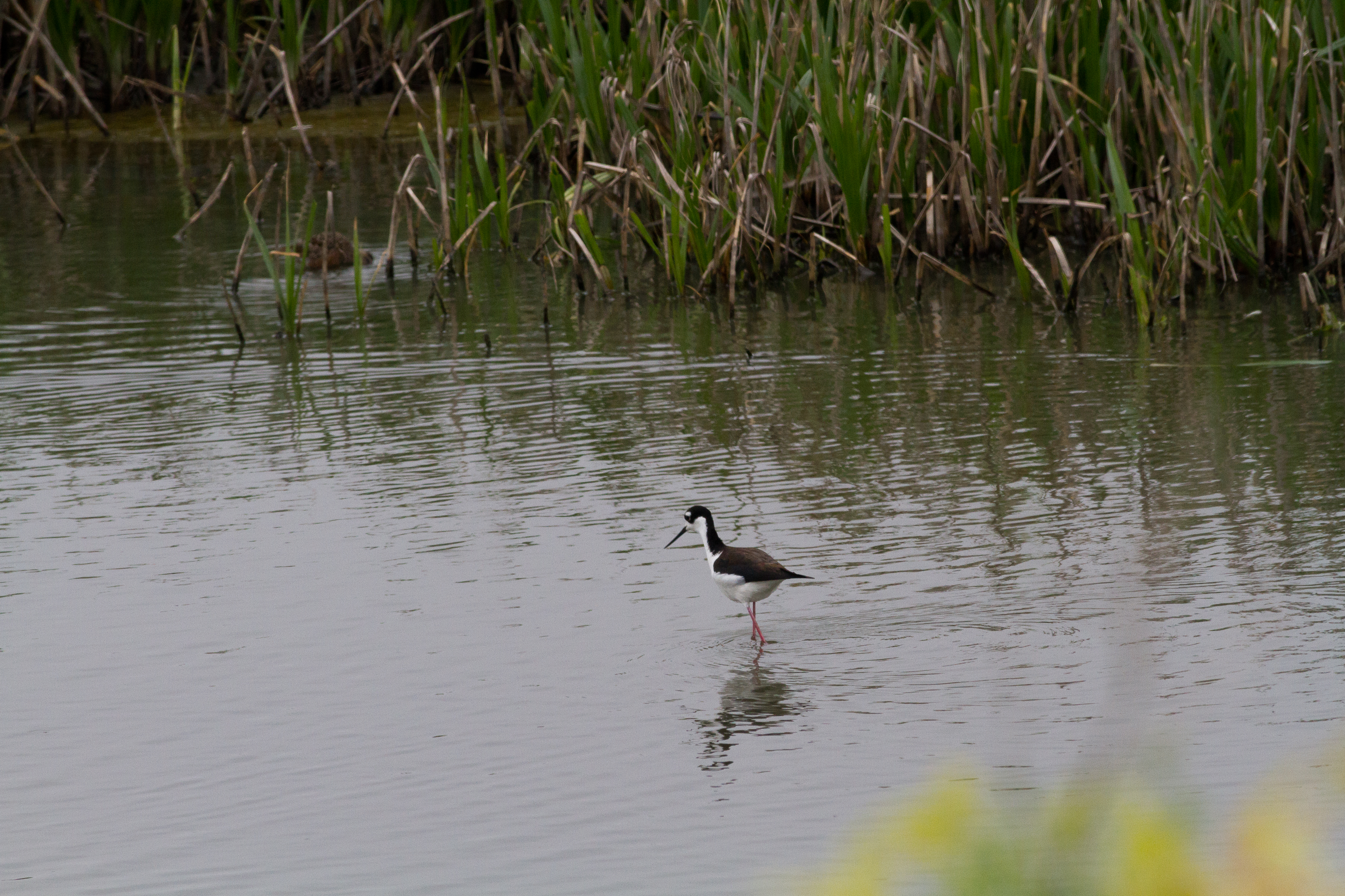
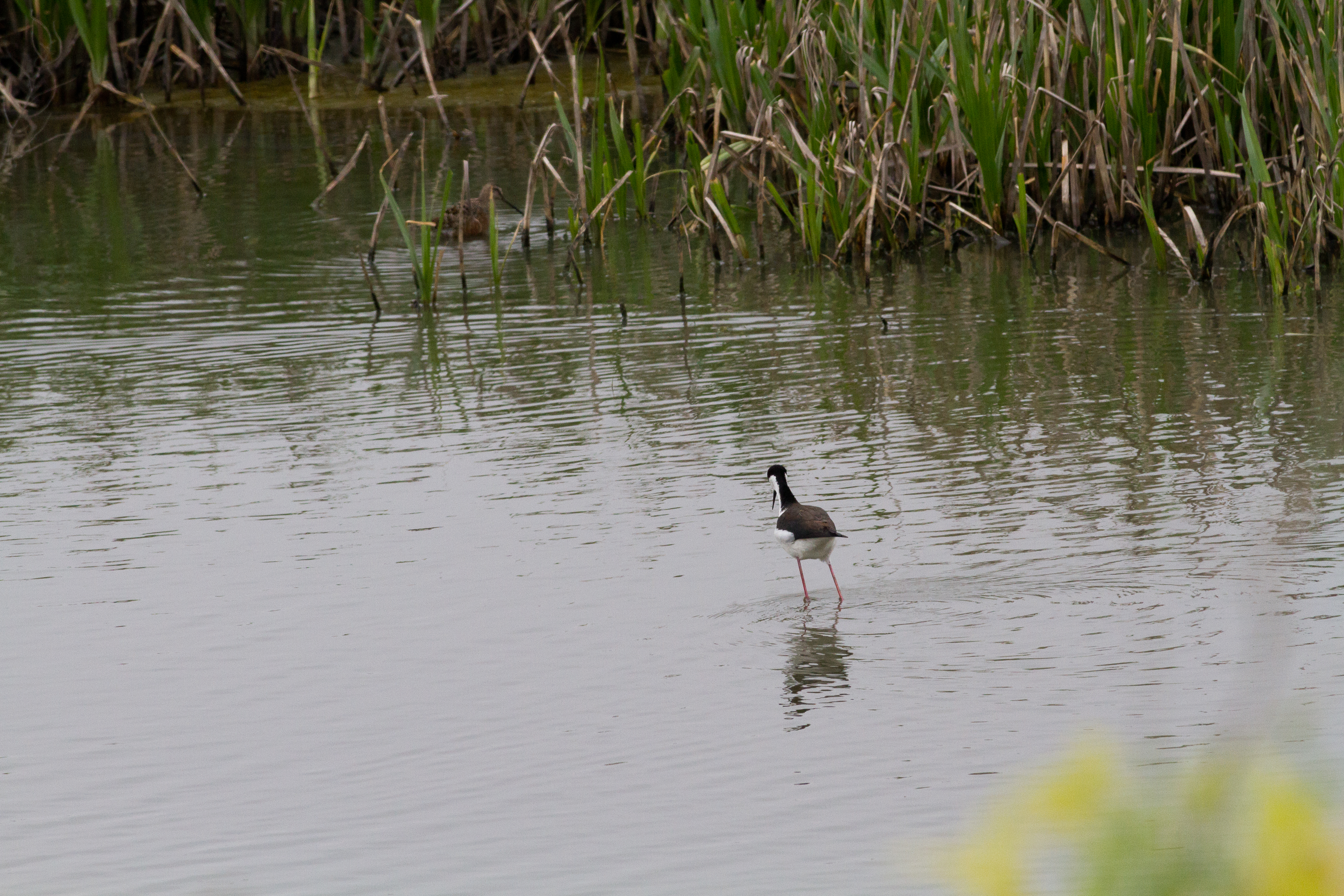
Cheyenne Bottoms

Enjoying the view

Enjoying the view

Enjoying the view
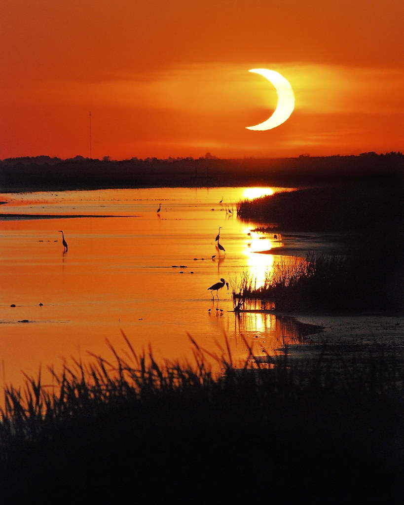
Solar Eclipse

Setting Sun

untitled201204290088.jpg

untitled201204290089.jpg
untitled201204290058.jpg

Old House on the Prairie
untitled201204290055.jpg
untitled201204290056.jpg
Odin Catholic Church
untitled201204290057.jpg

untitled201204290033.jpg

untitled201204290021.jpg
untitled201204290031.jpg

untitled201204290062.jpg

untitled201204290030.jpg
untitled201204290032.jpg
Late Afternoon Light

Into the Wild
Coming Home
Topographic Map of W Williamson St, Claflin, KS, USA
Find elevation by address:

Places near W Williamson St, Claflin, KS, USA:
Claflin
Independent
E 2nd St, Ellinwood, KS, USA
Ellinwood
South Homestead
Hoisington
US-, Hoisington, KS, USA
1530 Random Rd
1503 Random Rd
1506 N Center St
Great Bend
Barton County
Plymouth
27th St, Wilson, KS, USA
Wilson
Old 40 Rd, Dorrance, KS, USA
Dorrance
Big Salt Marsh
Liberty
US-56, Great Bend, KS, USA
Recent Searches:
- Elevation of Corso Fratelli Cairoli, 35, Macerata MC, Italy
- Elevation of Tallevast Rd, Sarasota, FL, USA
- Elevation of 4th St E, Sonoma, CA, USA
- Elevation of Black Hollow Rd, Pennsdale, PA, USA
- Elevation of Oakland Ave, Williamsport, PA, USA
- Elevation of Pedrógão Grande, Portugal
- Elevation of Klee Dr, Martinsburg, WV, USA
- Elevation of Via Roma, Pieranica CR, Italy
- Elevation of Tavkvetili Mountain, Georgia
- Elevation of Hartfords Bluff Cir, Mt Pleasant, SC, USA