Elevation of th St, Litchfield, MN, USA
Location: United States > Minnesota > Meeker County > Acton Township >
Longitude: -94.646364
Latitude: 45.1020717
Elevation: 374m / 1227feet
Barometric Pressure: 97KPa
Elevation Map:
Satellite Map:
Related Photos:

The Starlight Drive-in

87 Plymouth Gran Fury

Nature in Litchfield

30 Day Flash Photo Challenge: Hosta Leaf [3401]

Beckville, Minnesota
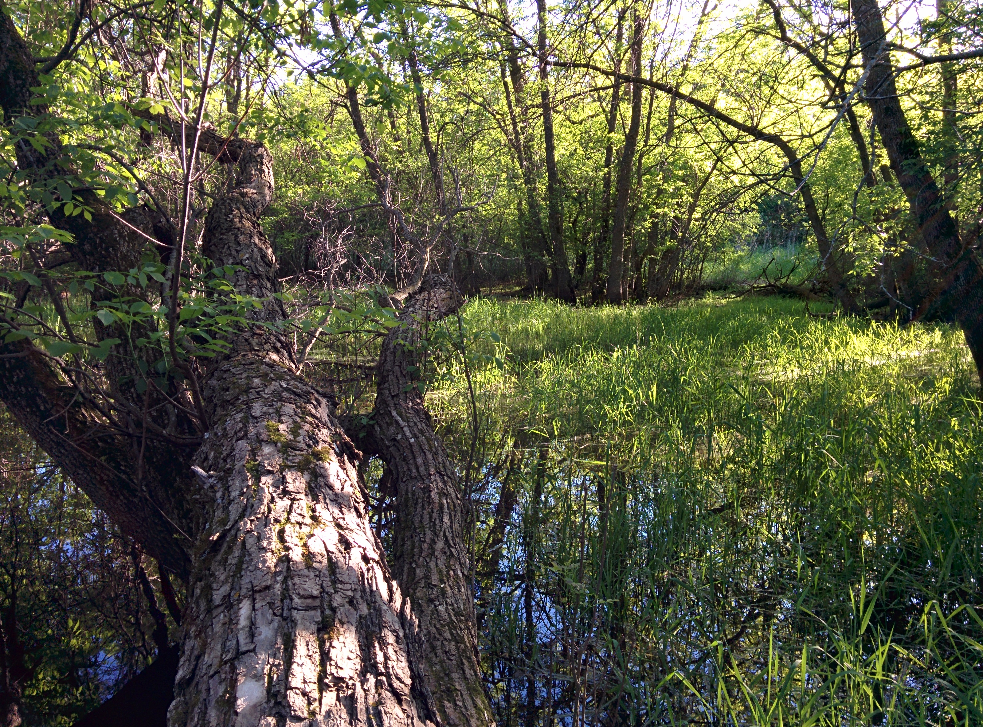
Nature in Litchfield

Field of Red Tulips [2038]
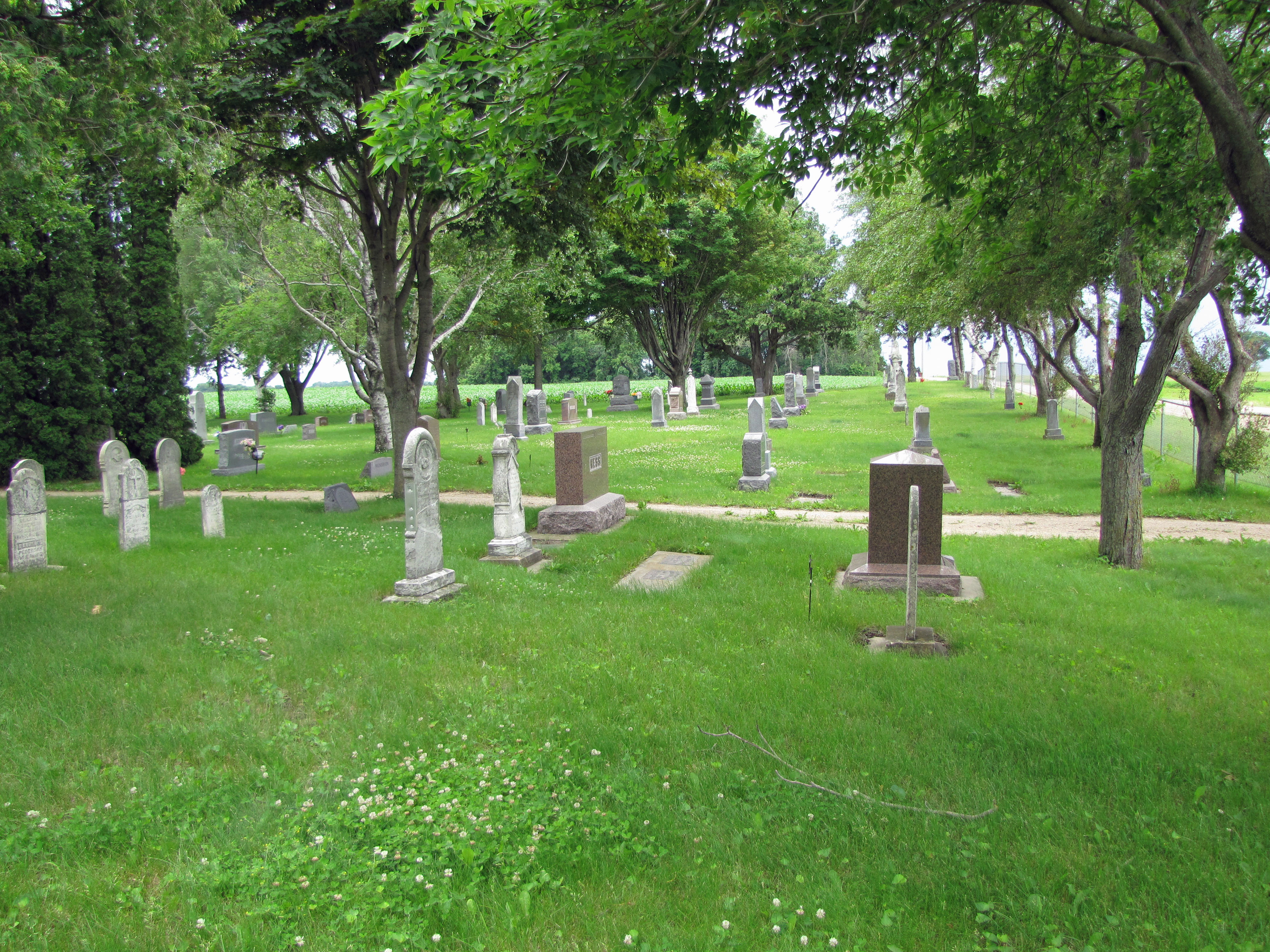
Ness Cemetery (2)

Along the Drive
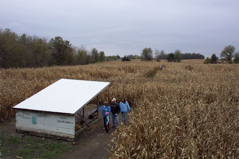
Corn Maze
Topographic Map of th St, Litchfield, MN, USA
Find elevation by address:

Places near th St, Litchfield, MN, USA:
th Ave, Grove City, MN, USA
Acton Township
Litchfield Township
55992 245th St
55992 245th St
Litchfield, MN, USA
619 N Holcombe Ave
47 E Weisel St, Litchfield, MN, USA
MN-22, Litchfield, MN, USA
Meeker County
Atwater
17308 1st Ave E
17298 1st Ave E
th Ave, Grove City, MN, USA
Gennessee Township
Union Grove Township
CSAH 9, Darwin, MN, USA
Ellsworth Township
Darwin
World's Largest Twine Ball
Recent Searches:
- Elevation of Corso Fratelli Cairoli, 35, Macerata MC, Italy
- Elevation of Tallevast Rd, Sarasota, FL, USA
- Elevation of 4th St E, Sonoma, CA, USA
- Elevation of Black Hollow Rd, Pennsdale, PA, USA
- Elevation of Oakland Ave, Williamsport, PA, USA
- Elevation of Pedrógão Grande, Portugal
- Elevation of Klee Dr, Martinsburg, WV, USA
- Elevation of Via Roma, Pieranica CR, Italy
- Elevation of Tavkvetili Mountain, Georgia
- Elevation of Hartfords Bluff Cir, Mt Pleasant, SC, USA