Elevation of th St, Goodwin, SD, USA
Location: United States > South Dakota > Deuel County > Goodwin >
Longitude: -96.876782
Latitude: 44.9187803
Elevation: 621m / 2037feet
Barometric Pressure: 94KPa
Elevation Map:
Satellite Map:
Related Photos:
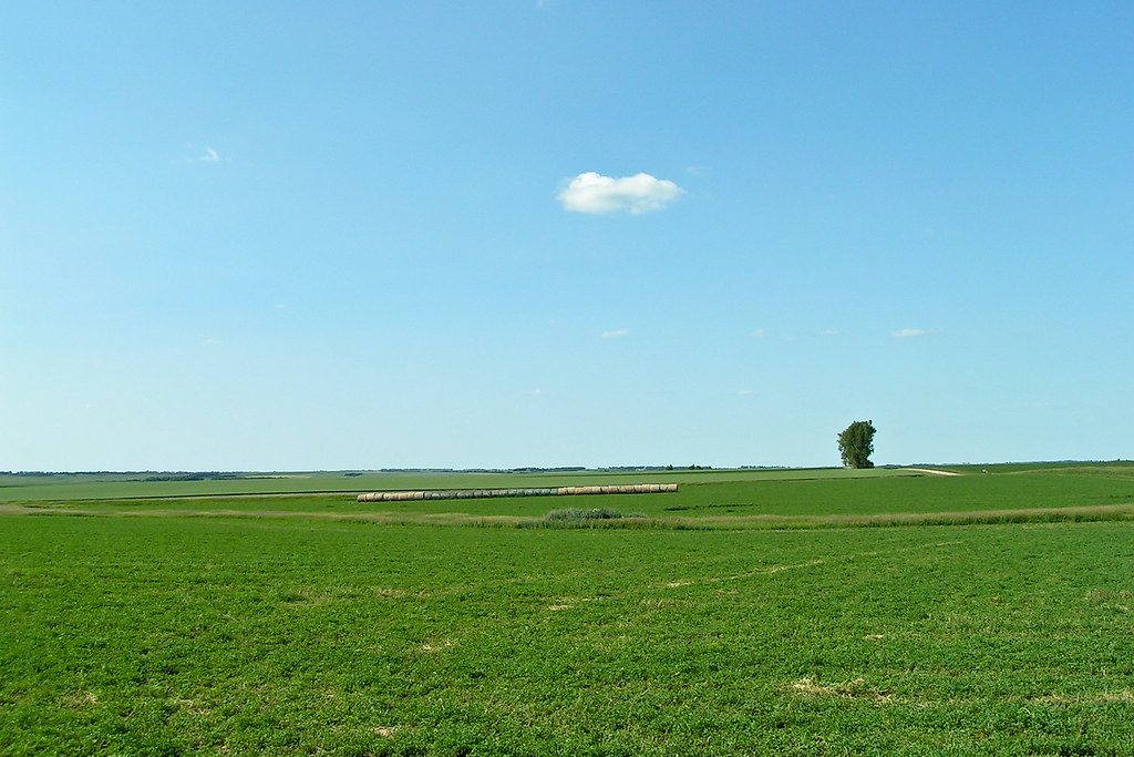
Miles and Miles
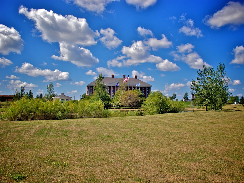
Watertown SD 8
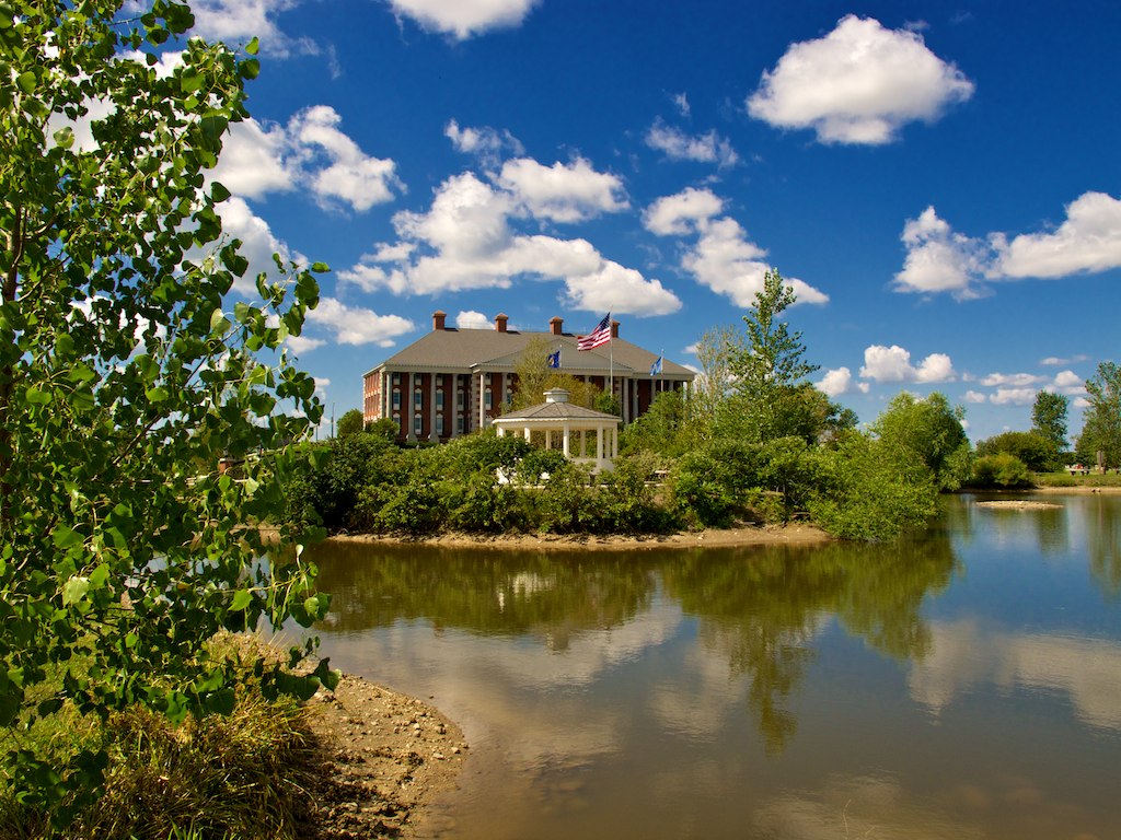
Watertown SD 6
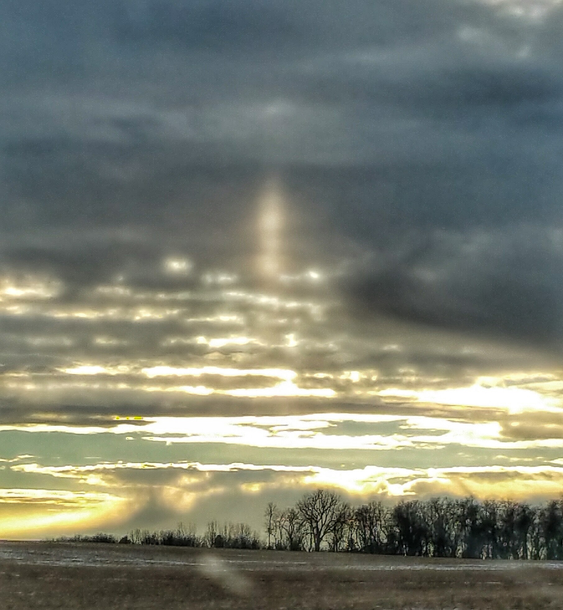
Sundance trip, 2015
Topographic Map of th St, Goodwin, SD, USA
Find elevation by address:

Places near th St, Goodwin, SD, USA:
Goodwin
Rome Township
Clear Lake Township
Main St, Castlewood, SD, USA
Castlewood
Clear Lake
Deuel County
Estelline
Norden Township
Eureka Township
47019 198th St
Gary
2798 Edgewater Dr
2798 Edgewater Dr
Windsong Lane
Bruce
Brookings County
White
South Dakota State University
Brookings
Recent Searches:
- Elevation of Corso Fratelli Cairoli, 35, Macerata MC, Italy
- Elevation of Tallevast Rd, Sarasota, FL, USA
- Elevation of 4th St E, Sonoma, CA, USA
- Elevation of Black Hollow Rd, Pennsdale, PA, USA
- Elevation of Oakland Ave, Williamsport, PA, USA
- Elevation of Pedrógão Grande, Portugal
- Elevation of Klee Dr, Martinsburg, WV, USA
- Elevation of Via Roma, Pieranica CR, Italy
- Elevation of Tavkvetili Mountain, Georgia
- Elevation of Hartfords Bluff Cir, Mt Pleasant, SC, USA