Elevation of Deuel County, SD, USA
Location: United States > South Dakota >
Longitude: -96.663812
Latitude: 44.7311414
Elevation: 554m / 1818feet
Barometric Pressure: 95KPa
Elevation Map:
Satellite Map:
Related Photos:

Fourth of July Sunset
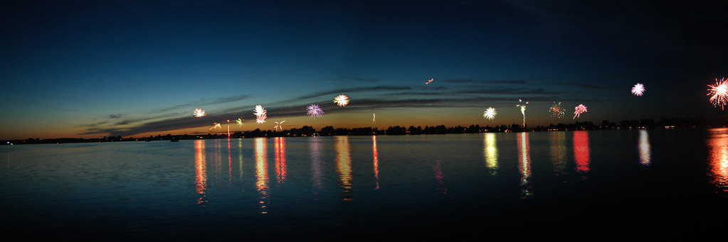
South Dakota Fireworks
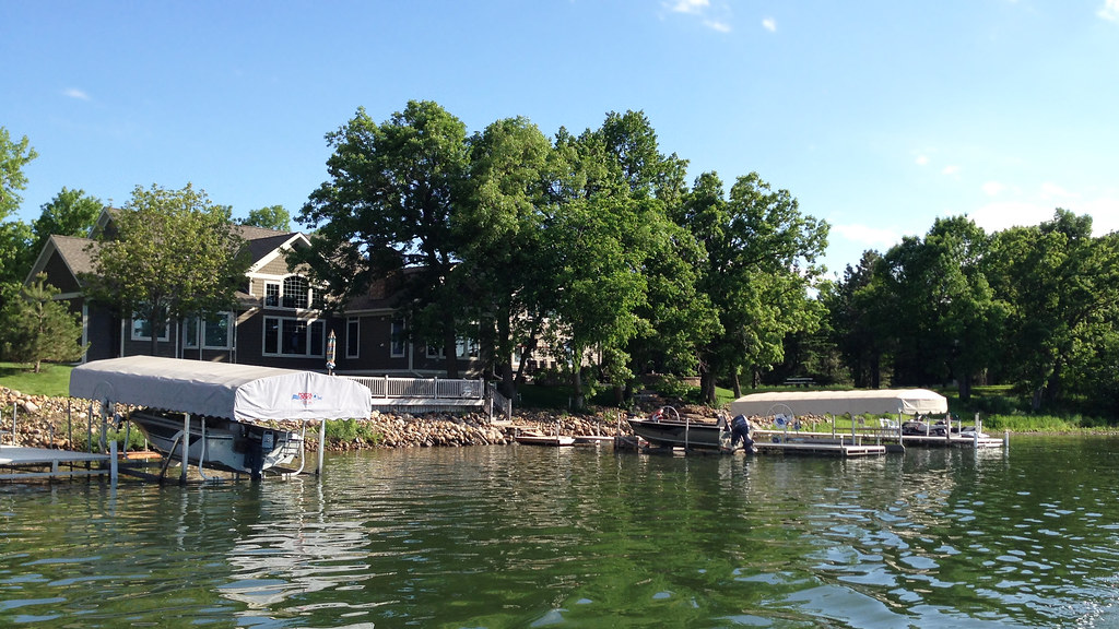
Lake Cochrane
On the road

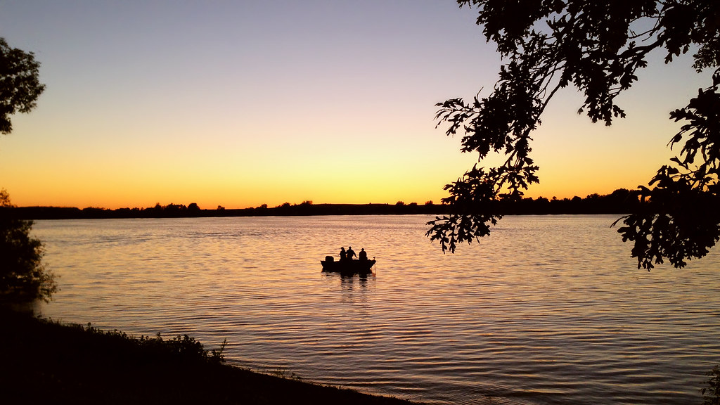
South Dakota Sunset
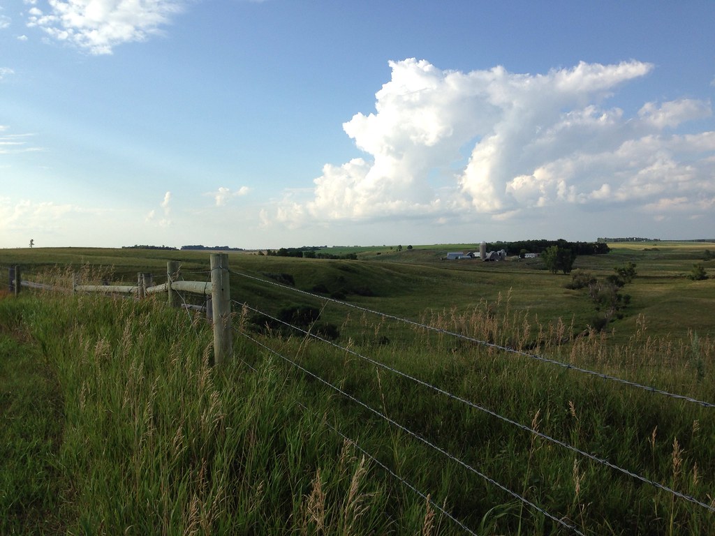
Eastern South Dakota
South Dakota Sunset
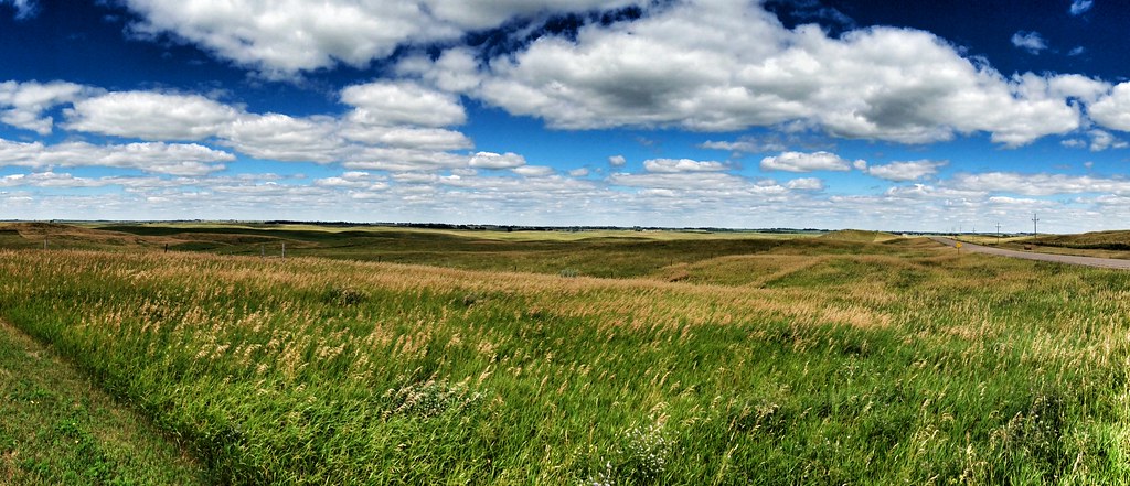
South Dakota Landscape
South Dakota Landscape
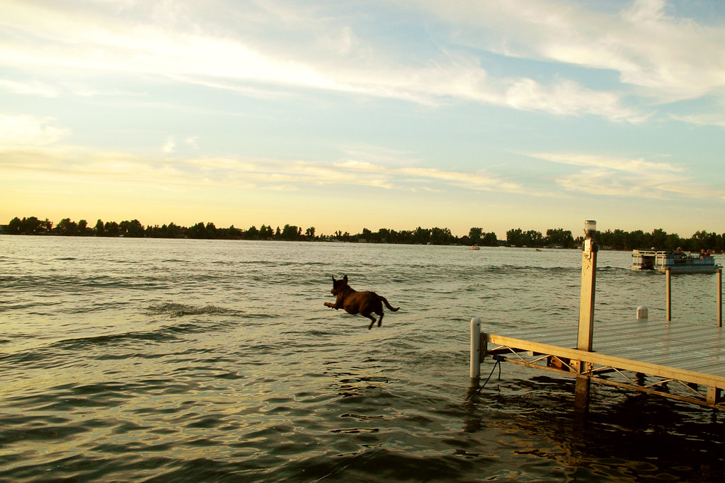
Long Jump

South Dakota Sunset
Byron J. Cochrane

American Legion Member

Easter 173

2.5hrs till Fargo #move2ak
Backlit Soybeans
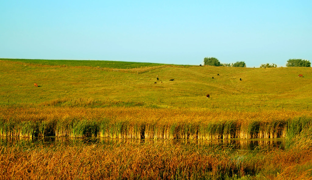
South Dakota Pastoral
Hidewood Creek Rest Area Panorama
Topographic Map of Deuel County, SD, USA
Find elevation by address:

Places in Deuel County, SD, USA:
Places near Deuel County, SD, USA:
Clear Lake
Clear Lake Township
Norden Township
2798 Edgewater Dr
2798 Edgewater Dr
Windsong Lane
Gary
Goodwin
Rome Township
47019 198th St
Eureka Township
46626 170th St
Estelline
White
Brookings County
Castlewood
Main St, Castlewood, SD, USA
Bruce
Canby
St Olaf Ave N, Canby, MN, USA
Recent Searches:
- Elevation of Corso Fratelli Cairoli, 35, Macerata MC, Italy
- Elevation of Tallevast Rd, Sarasota, FL, USA
- Elevation of 4th St E, Sonoma, CA, USA
- Elevation of Black Hollow Rd, Pennsdale, PA, USA
- Elevation of Oakland Ave, Williamsport, PA, USA
- Elevation of Pedrógão Grande, Portugal
- Elevation of Klee Dr, Martinsburg, WV, USA
- Elevation of Via Roma, Pieranica CR, Italy
- Elevation of Tavkvetili Mountain, Georgia
- Elevation of Hartfords Bluff Cir, Mt Pleasant, SC, USA