Elevation of th Pl, Albia, IA, USA
Location: United States > Iowa > Monroe County > Troy > Albia >
Longitude: -92.817663
Latitude: 40.9937156
Elevation: 285m / 935feet
Barometric Pressure: 98KPa
Elevation Map:
Satellite Map:
Related Photos:
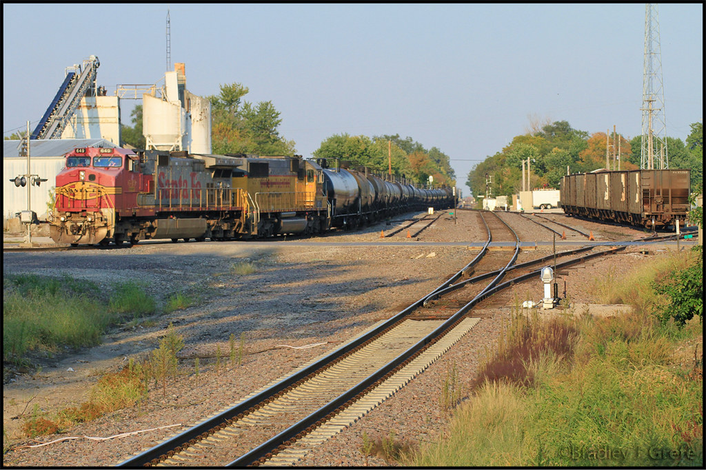
BNSF 649 - NREX 5952 - DMO - Albia IA
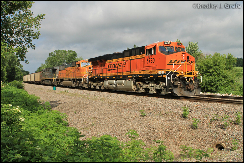
BNSF 5730 - MP 310
They're my blue sky, they're my sunny day
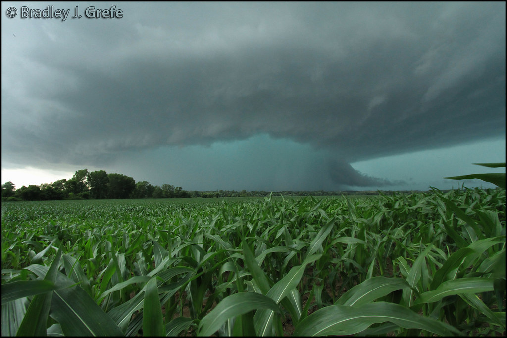
Cyclone Warning - Lovilia IA
Autumn Armour in Iowa
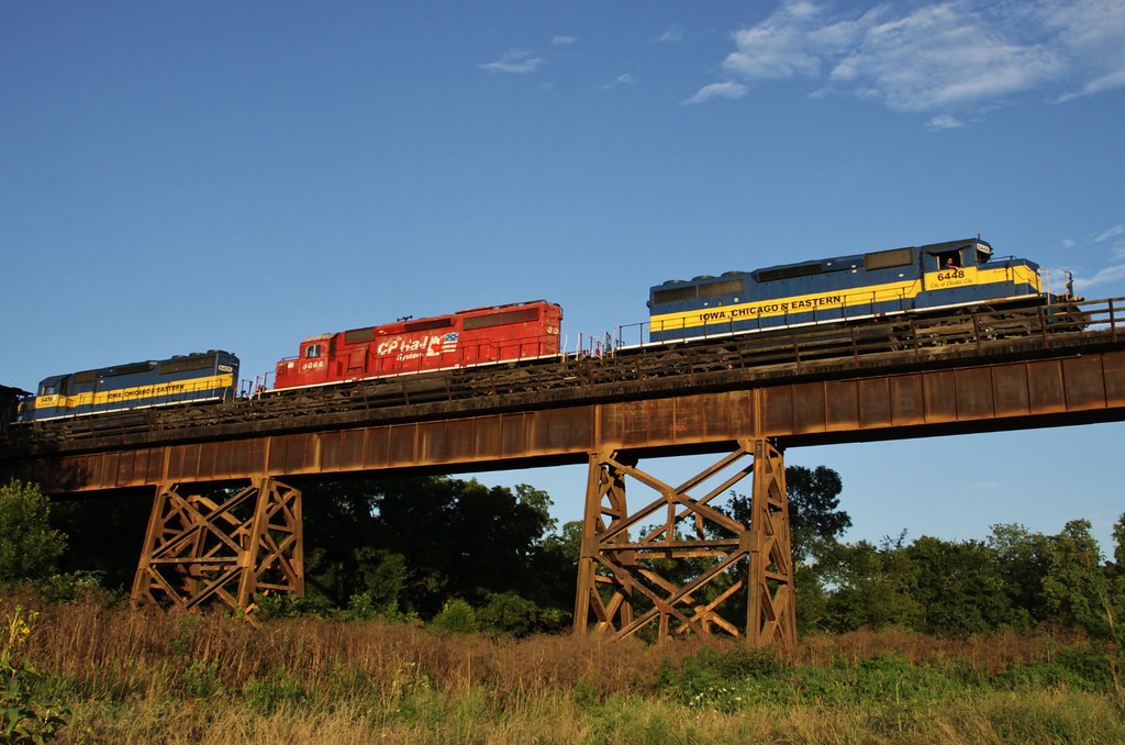
WQMDMO at Albia IA
BNSF 1546
Fast as the Wind

Soap Creek Watershed Tour
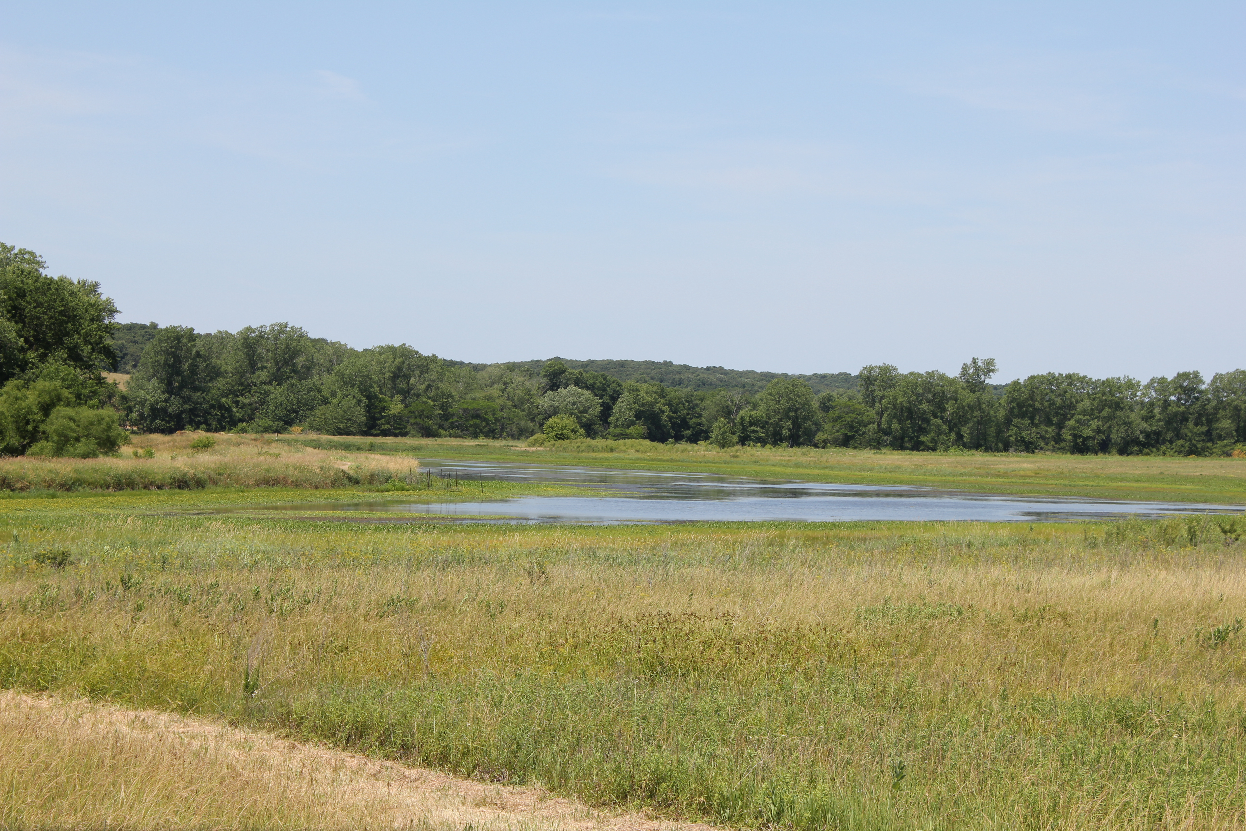
Soap Creek Wetlands
Topographic Map of th Pl, Albia, IA, USA
Find elevation by address:

Places near th Pl, Albia, IA, USA:
Monroe County
Moravia
Guilford
th Ave, Albia, IA, USA
Union
Lovilia
E 19th St, Lovilia, IA, USA
Co Hwy G71, Bussey, IA, USA
Bussey
Liberty
Woltz St, Tracy, IA, USA
Iowa 5
53208 310th Ave
53208 310th Ave
th St, Russell, IA, USA
Pleasant
1922 Jewell Dr
IA-14, Chariton, IA, USA
Hormel Foods
S Attica Rd, Knoxville, IA, USA
Recent Searches:
- Elevation of Corso Fratelli Cairoli, 35, Macerata MC, Italy
- Elevation of Tallevast Rd, Sarasota, FL, USA
- Elevation of 4th St E, Sonoma, CA, USA
- Elevation of Black Hollow Rd, Pennsdale, PA, USA
- Elevation of Oakland Ave, Williamsport, PA, USA
- Elevation of Pedrógão Grande, Portugal
- Elevation of Klee Dr, Martinsburg, WV, USA
- Elevation of Via Roma, Pieranica CR, Italy
- Elevation of Tavkvetili Mountain, Georgia
- Elevation of Hartfords Bluff Cir, Mt Pleasant, SC, USA