Elevation of th St, Russell, IA, USA
Location: United States > Iowa > Lucas County > Pleasant >
Longitude: -93.173058
Latitude: 41.0812529
Elevation: 260m / 853feet
Barometric Pressure: 98KPa
Elevation Map:
Satellite Map:
Related Photos:
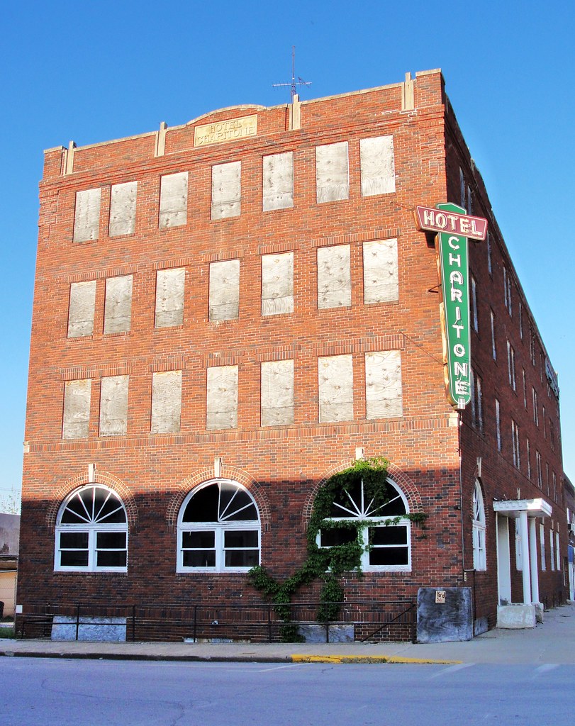
Hotel Charitone
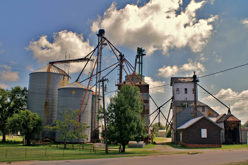
Farmer's Cooperative - 2
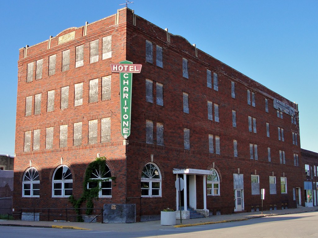
Hotel Charitone

.

Hay there!

All lined up

Round things

2016:08:28 17:47:54 Flickr-034

Travel buddy in Orlando
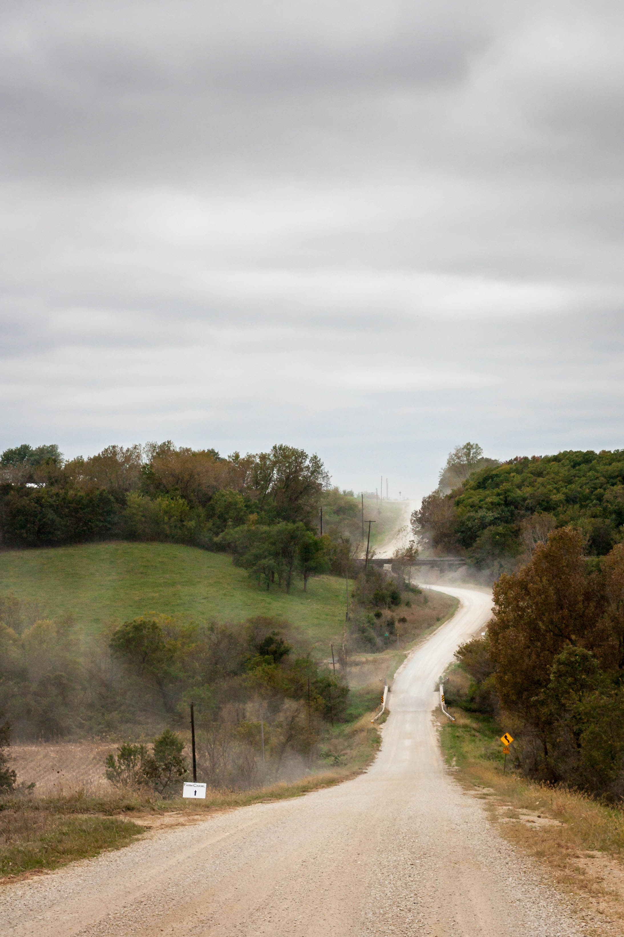
Iowa gravel road

Some where's in Iowa
2014 Farm Crawl
2014 Farm Crawl

Fixer Upper

.

.

.
RI038165.JPG
RI038162.JPG
RI038163.JPG
RI038164.JPG
RI038161.JPG
RI038160.JPG
RI038159.JPG

RI038158.JPG
Topographic Map of th St, Russell, IA, USA
Find elevation by address:

Places near th St, Russell, IA, USA:
53208 310th Ave
53208 310th Ave
Pleasant
IA-14, Chariton, IA, USA
Wyoming St, Chariton, IA, USA
24550 Us-34
7-29a
Chariton
Melcher-dallas
Melcher-dallas
Melcher-dallas
Melcher-dallas
Melcher-dallas
Melcher-dallas
Melcher-dallas
Melcher-dallas
Melcher-dallas
Melcher-dallas
Melcher-dallas
Melcher-dallas
Recent Searches:
- Elevation of Corso Fratelli Cairoli, 35, Macerata MC, Italy
- Elevation of Tallevast Rd, Sarasota, FL, USA
- Elevation of 4th St E, Sonoma, CA, USA
- Elevation of Black Hollow Rd, Pennsdale, PA, USA
- Elevation of Oakland Ave, Williamsport, PA, USA
- Elevation of Pedrógão Grande, Portugal
- Elevation of Klee Dr, Martinsburg, WV, USA
- Elevation of Via Roma, Pieranica CR, Italy
- Elevation of Tavkvetili Mountain, Georgia
- Elevation of Hartfords Bluff Cir, Mt Pleasant, SC, USA