Elevation of th Ave SE, Kindred, ND, USA
Location: United States > North Dakota > Cass County > Pleasant > Kindred >
Longitude: -96.897050
Latitude: 46.6700351
Elevation: 281m / 922feet
Barometric Pressure: 98KPa
Elevation Map:
Satellite Map:
Related Photos:

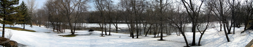
The fields and distant horizon

White-winged Dove, Horace, ND, 15Sept2014, Rick Shaw (2)

White-winged Dove, Horace, ND, 15Sept2014, Rick Shaw (3)

White-winged Dove, Horace, ND, 15Sept2014, Rick Shaw (1)

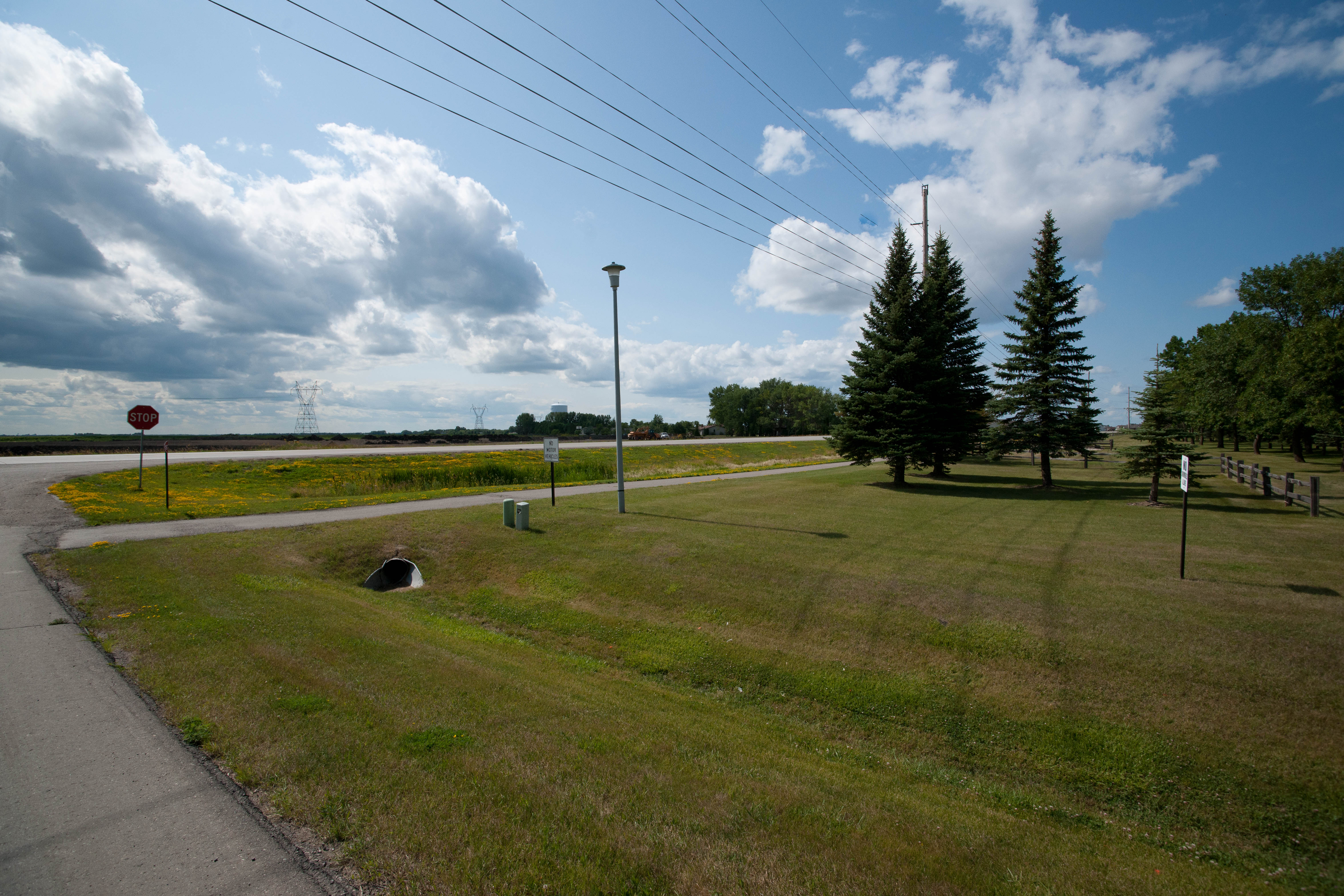
Geocaching in Horace

Back Yard View 3/20

Back Yard View 3/24 1227

Back Yard View 3/23 1334

Backyard View 3/23 1745

Back Yard View 3/21

Back Yard View 3/21

Back Yard View 3/22

Back Yard View 3/23 1100

Back Yard View 3/23 0800
Back Yard View 3/22

The beets go on
Briarwood, North Dakota

My childhood back yard

My childhood street

Formerly a mowed lawn

Kindred, North Dakota

Christine, North Dakota

Edge of south Fargo

Fargo Sioux-Per Swing

Fargo Sioux-Per Swing

Fargo Sioux-Per Swing

Fargo Sioux-Per Swing 024

Fargo Sioux-Per Swing

Fargo Sioux-Per Swing 013

Fargo Sioux-Per Swing 014

Fargo Sioux-Per Swing 019

Fargo Sioux-Per Swing

Four-spotted skimmer

01-IMG_6398

08-IMG_6459
Topographic Map of th Ave SE, Kindred, ND, USA
Find elevation by address:

Places near th Ave SE, Kindred, ND, USA:
5021 171st Ave Se
Pleasant
12004 57th St S
17368 48th St Se
17368 48th St Se
10310 72nd St S
10309 72nd St S
Horace
Normanna
45th St S & 88th Ave S
Stanley
3010 88th Ave S
7121 Woodland Cir
7224 64th Ave S
Kindred
7329 61st Ave Sw
7390 20th St S
1st Street South
Claire Drive South
1801 70th Ave S
Recent Searches:
- Elevation of Corso Fratelli Cairoli, 35, Macerata MC, Italy
- Elevation of Tallevast Rd, Sarasota, FL, USA
- Elevation of 4th St E, Sonoma, CA, USA
- Elevation of Black Hollow Rd, Pennsdale, PA, USA
- Elevation of Oakland Ave, Williamsport, PA, USA
- Elevation of Pedrógão Grande, Portugal
- Elevation of Klee Dr, Martinsburg, WV, USA
- Elevation of Via Roma, Pieranica CR, Italy
- Elevation of Tavkvetili Mountain, Georgia
- Elevation of Hartfords Bluff Cir, Mt Pleasant, SC, USA