Elevation of th Ave NE, Isanti, MN, USA
Location: United States > Minnesota > Isanti County > North Branch Township >
Longitude: -93.14221
Latitude: 45.485729
Elevation: 282m / 925feet
Barometric Pressure: 98KPa
Elevation Map:
Satellite Map:
Related Photos:
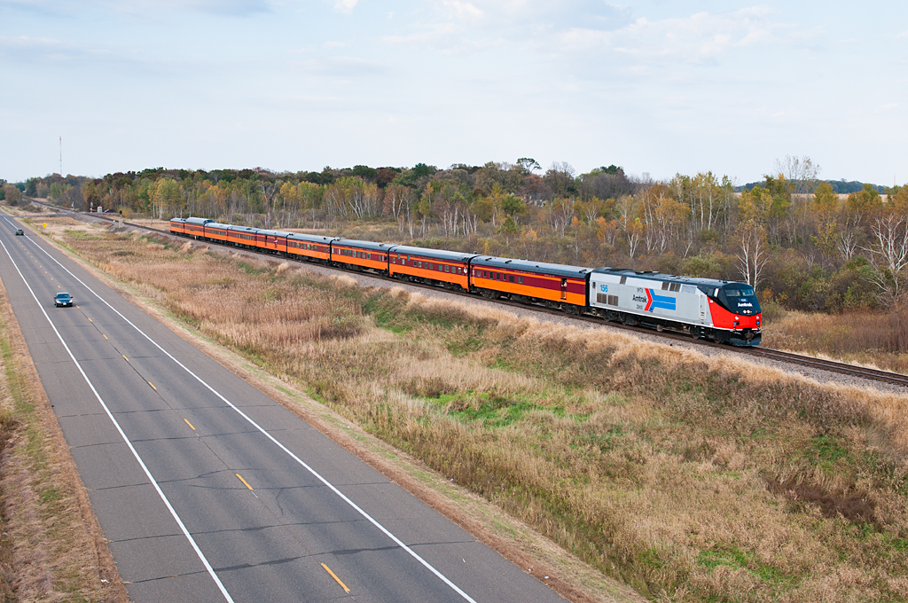
Amtrak 156 Cambridge

lensbaby_03302010-2
Cambridge, MN
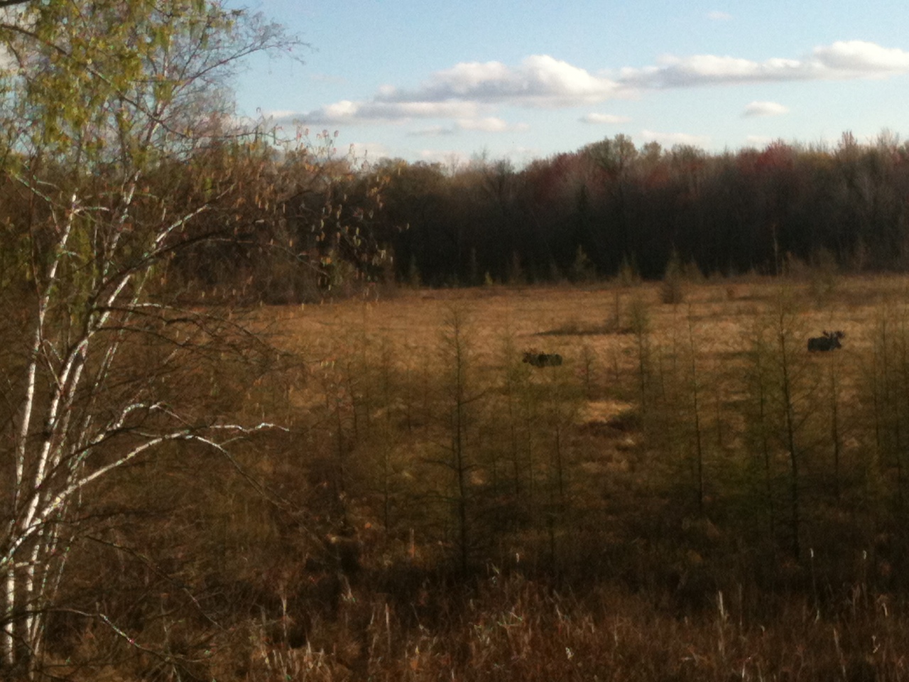
Is that a moose? Elk?
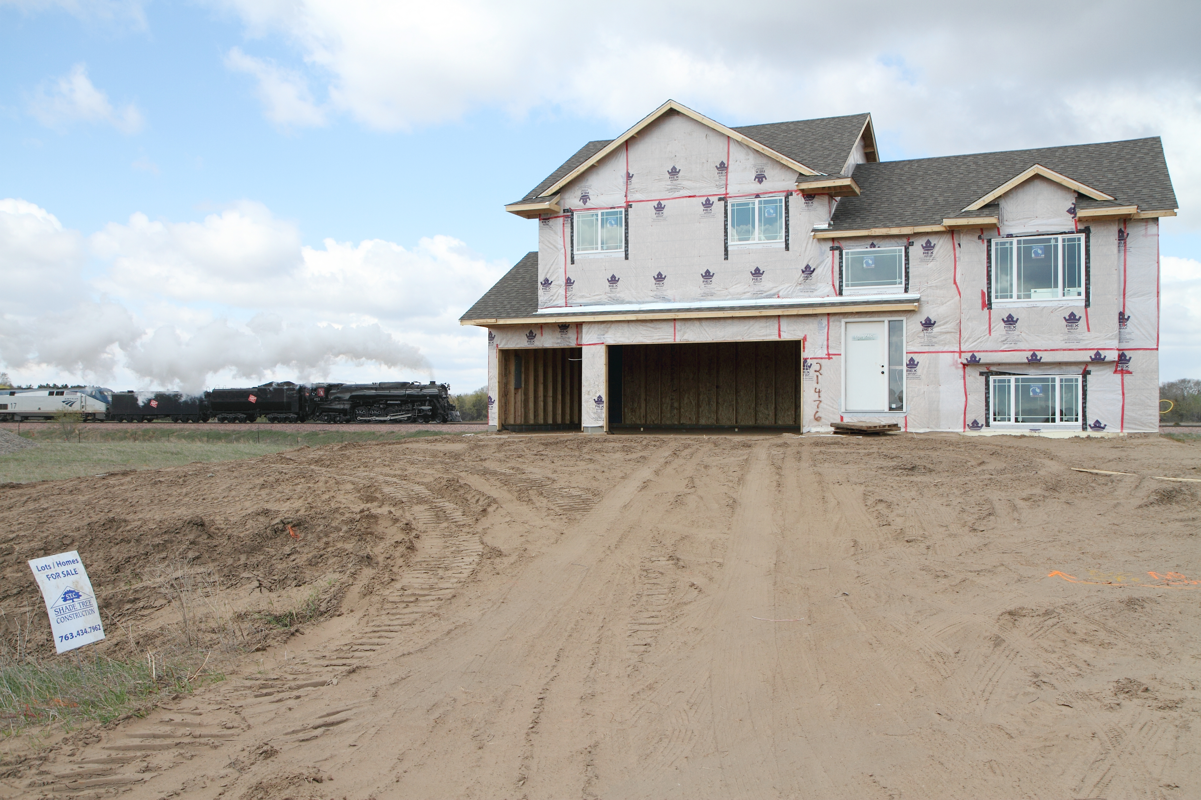
Rooms With a View

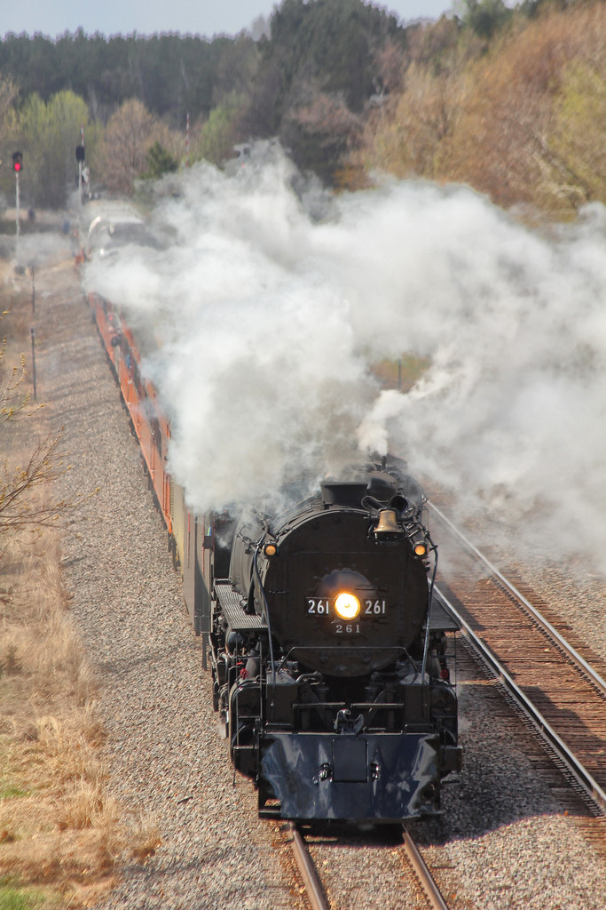
Coupling Up for Last Leg

Sunset Landscape

Sunset Landscape

Sunset Reflection

Fall Landscapes & Colors

Old Metal Barn

Fall Landscapes & Colors

Sunrise Landscape

Sunrise Landscape

Sunday Sunset

Sunrise Landscape

Sunrise Landscape

Sunset Silhouette

Sunrise Landscape

Sunrise Landscape

Sunset Landscape

Sunset Landscape

Sunrise Landscapes

Sunset Landscape

Sunrise Landscape

Sunrise Landscape

Red Barn
Topographic Map of th Ave NE, Isanti, MN, USA
Find elevation by address:

Places near th Ave NE, Isanti, MN, USA:
Tucker St NE, Isanti, MN, USA
North Branch Township
6470 242nd Ave Ne
23470 Orion St Ne
Martin Lake
th Ln NE, Wyoming, MN, USA
Linwood Township
6771 Main St
Stacy
7441 311th St
Chisago County
Bonnie Glen Pkwy, Chisago City, MN, USA
Kost Trail, North Branch, MN, USA
Chisago City
10655 Point Pleasant Rd
Sunrise Township
Lindstrom
Lake Blvd, Lindstrom, MN, USA
Center City
Summit Ave, Center City, MN, USA
Recent Searches:
- Elevation of Corso Fratelli Cairoli, 35, Macerata MC, Italy
- Elevation of Tallevast Rd, Sarasota, FL, USA
- Elevation of 4th St E, Sonoma, CA, USA
- Elevation of Black Hollow Rd, Pennsdale, PA, USA
- Elevation of Oakland Ave, Williamsport, PA, USA
- Elevation of Pedrógão Grande, Portugal
- Elevation of Klee Dr, Martinsburg, WV, USA
- Elevation of Via Roma, Pieranica CR, Italy
- Elevation of Tavkvetili Mountain, Georgia
- Elevation of Hartfords Bluff Cir, Mt Pleasant, SC, USA