Elevation of Center City, MN, USA
Location: United States > Minnesota > Chisago County >

Longitude: -92.816602

Latitude: 45.3938525

Elevation: 284m / 932feet

Barometric Pressure: 98KPa

Elevation Map:

elevation map of Center City, MN, USA
Satellite Map:

Satellite map of Center City, MN, USA
Related Photos:

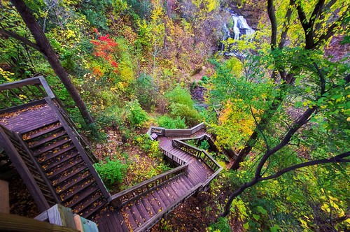
autumn wisconsin stairs view falls winding cascade osceola lightroom a55 mygearandme mygearandmepremium
Stairs With a View
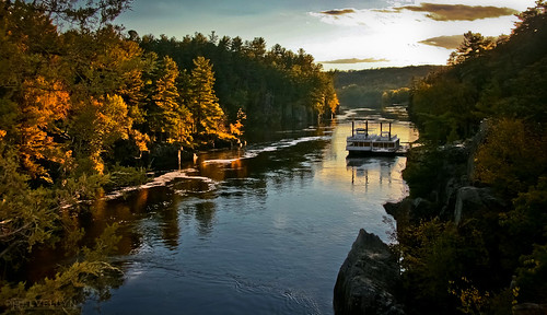
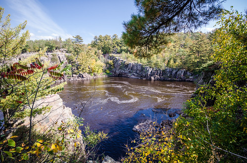
wood travel autumn trees light reflection fall water colors minnesota forest river landscape boats glow fallcolors scenic cliffs autumncolours foliage valley vista stcroix wonderland paddleboat bluff goldenhour rivervalley taylorsfalls interstatestatepark riverboats riverbluff absolutelystunningscapes
Before the Rain
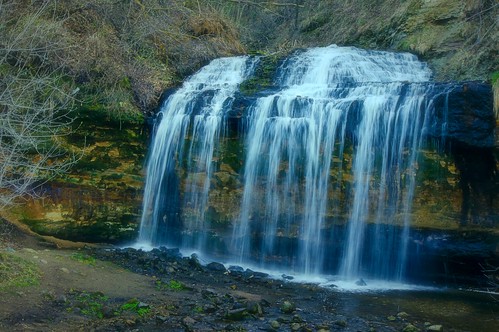
water weather wisconsin early spring warm falls historic cascade osceola lightroom a55 mygearandme mygearandmepremium mygearandmebronze mygearandmesilver
Cascade Falls
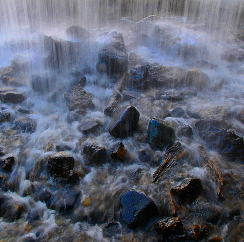
water wisconsin waterfall rocks stones falls osceola
Stones Beneath Osceola Falls
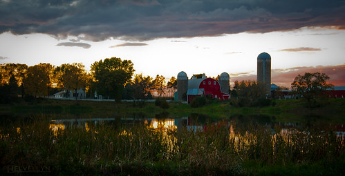
autumn light sunset reflection fall minnesota barn glow farm silo chisago
Harvest Glow
Down By The River
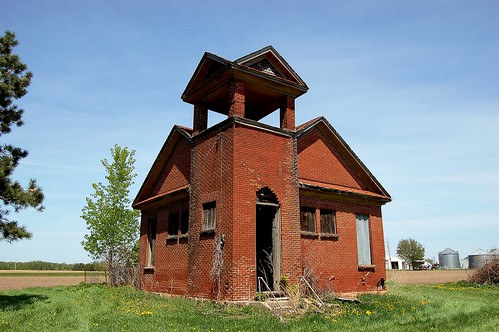
minnesota rural schoolhouse chisagocounty
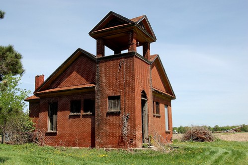
Minnesota, Chisago County, Furuby School (302-2b)
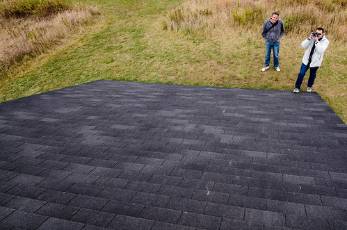
minnesota unitedstates shafer d7000
View from the rooftop
winter cliff snow ice minnesota pine cliffs pines stcroixriver interstatestatepark
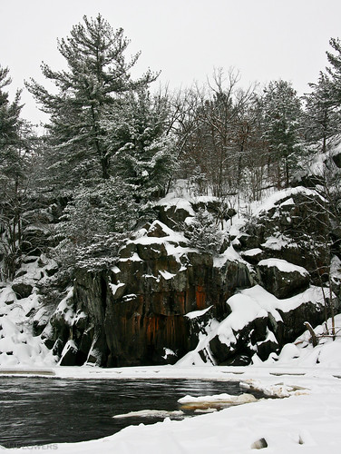
Winter on the St. Croix
usa oktober wisconsin truck lorry osceola 2010 lkw
Ford Oldie in Wisconsin 10_8986
statue wisconsin indian chief landmark falls seminole cascade osceola lightroom a55
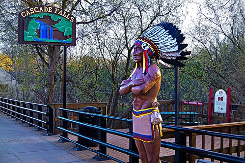
Chief Osceola
minnesota rural schoolhouse chisagocounty
Minnesota, Chisago County, Furuby School (302-2)
minnesota rural schoolhouse chisagocounty
Minnesota, Chisago County, Furuby School (302)
river geocaching hiking taylorsfalls stcroixriver interstatestatepark
Interstate State Park
river geocaching hiking taylorsfalls stcroixriver interstatestatepark
Interstate State Park
leaf oak bokeh
Oak Leaf
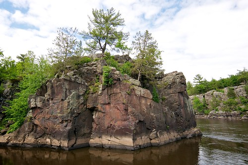
Holy Cross formation in the St. Croix Dalles
minnesota river rapids taylorsfalls stcroixriver 200808
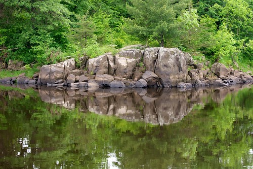
calm river view.JPG
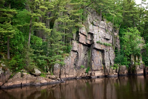
Basaltic outcrop
Angle Rock in the St. Croix Dalles
Historic Osceola & St. Croix Valley Railway Station
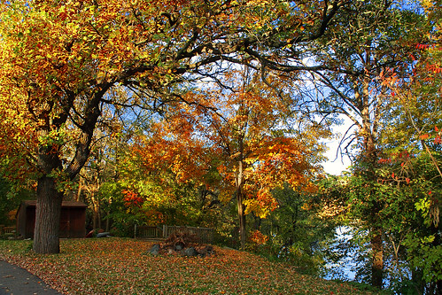
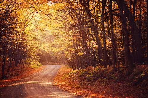
road autumn trees light sun sunlight fall leaves yellow woods walk
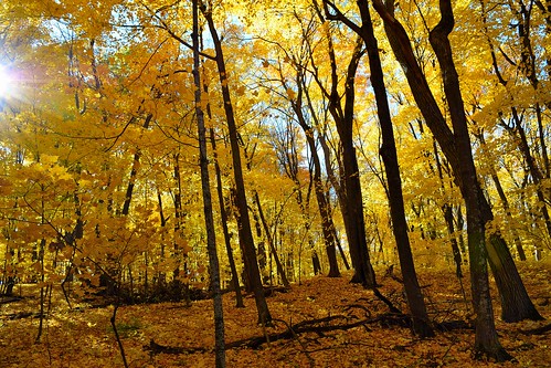
:: autumn walk ::
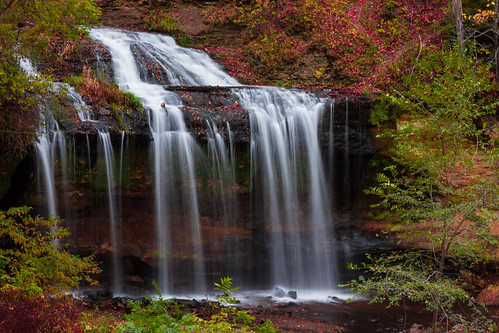
wisconsin osceola cascadefalls geography longexposure techniques waterfalls thechallengegame challengegamewinner
Cascade Falls, Osceola, Wisconsin
wisconsin unitedstates osceola d7000 september2014
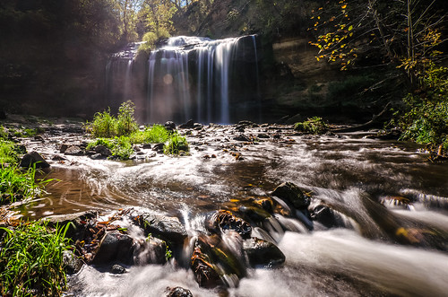
A 10-Stop Neutral Density Filter of Cascade Falls - Osceola WI
wisconsin unitedstates osceola d7000 september2014
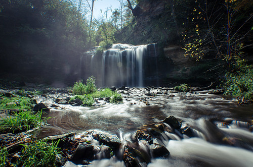
Cascade Falls in Osceola, WI
wisconsin unitedstates osceola d7000 september2014
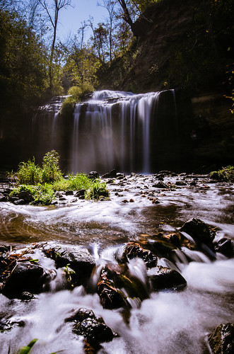
Cascade Falls - 10 Stop ND Filter
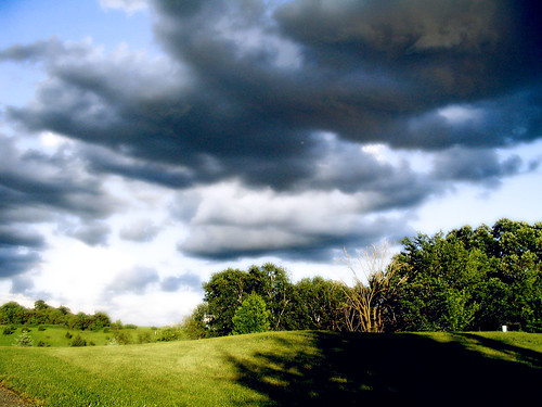
A Storm in The Shire
nature wisconsin canon rebel waterfall slow north sigma falls shutter northern cascade wi t1i
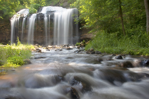
Cascade Falls
longexposure minnesota night michael nightshot aguirre northernlights auroraborealis almelund minnesotalandscape rmichaelaguirrephotography
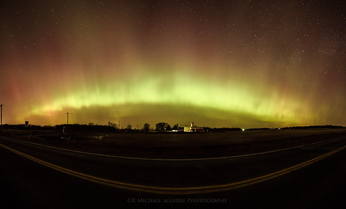
Aurora Horizons
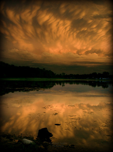
Mammatus Reflections
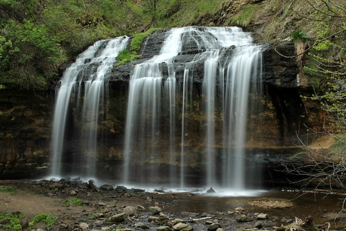
Cascade Falls
blue roof winter chimney sky moon snow nature landscape bokeh phase lunar gibbous waxing foreground
cold moon
osceola cascadefalls
Cascade Falls Closeup
waterfall osceola cascadefalls
Cascade Falls Complete
wisconsin unitedstates dresser d7000 september2014
20140927-_DSC5555.jpg
autumn interstatestatepark
Autumn Gold
justaroundmnarea
Just around MN area 038
wisconsin standing waterfall natural state falls area osceola cedars buttermilk 20thanniversaryraw
The Tumbling Buttermilk Falls
autumn usa tree fall minnesota nikon october fallcolor unitedstates 2015 falllandscape nikonphotography minnesotaphotography d7100 100715 minnesotaphotographer nikond7100 october2015 bpgrossphotography
Fall Landscapes & Colors
waterfall hdr osceola
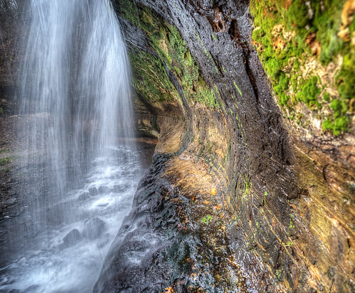
Behind the Curtain