Elevation of th Ave, Chokio, MN, USA
Location: United States > Minnesota > Big Stone County > Artichoke Township >
Longitude: -96.158938
Latitude: 45.4115696
Elevation: 342m / 1122feet
Barometric Pressure: 97KPa
Elevation Map:
Satellite Map:
Related Photos:

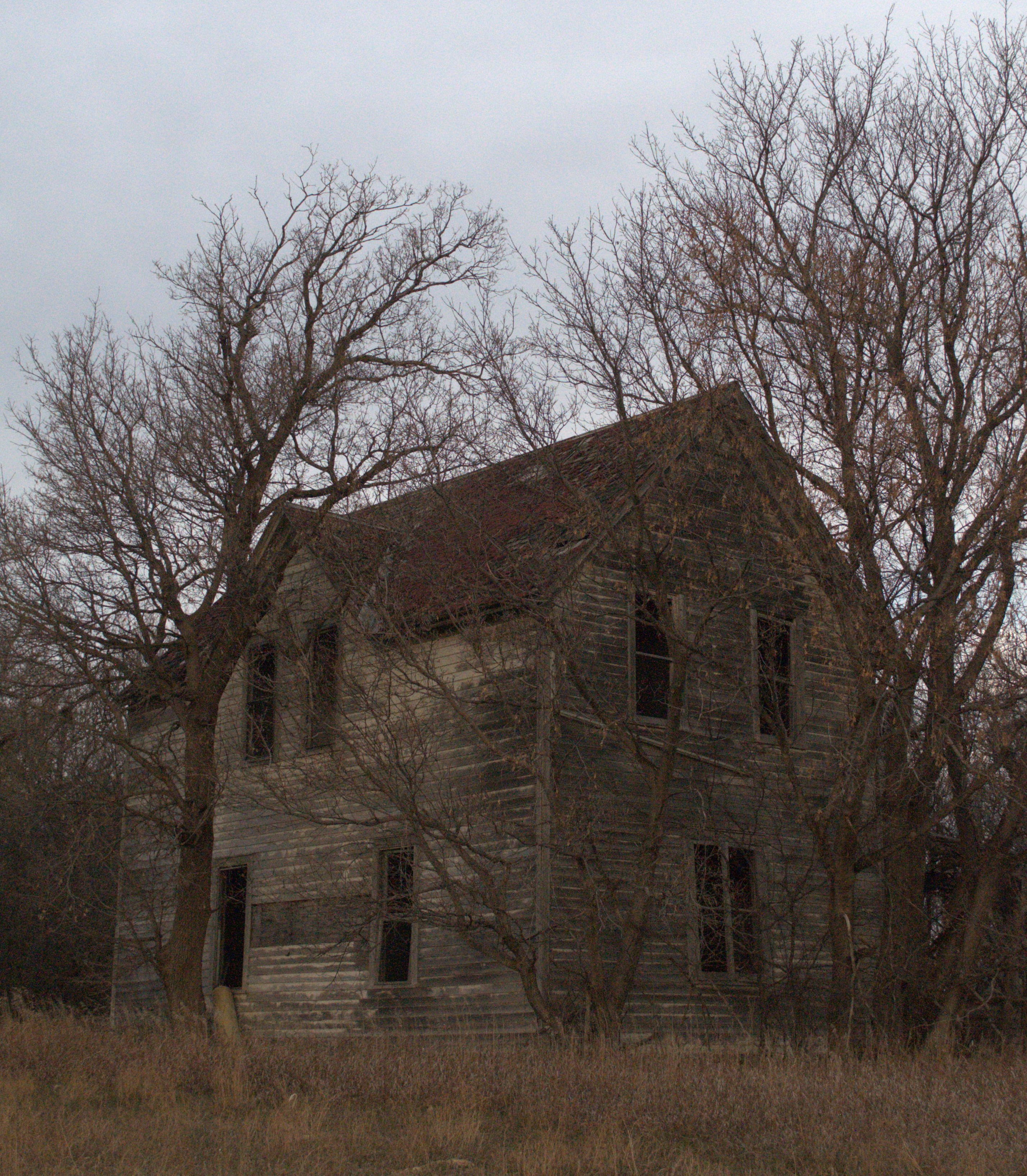
Abandoned

Stilt Sandpiper, Pectoral Sandpiper

Virginia Rail

Stilt Sandpiper, Pectoral Sandpiper
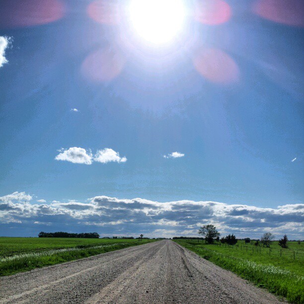
Road #Redditgram #appleton

Life amongst decay.
Where did they go? III
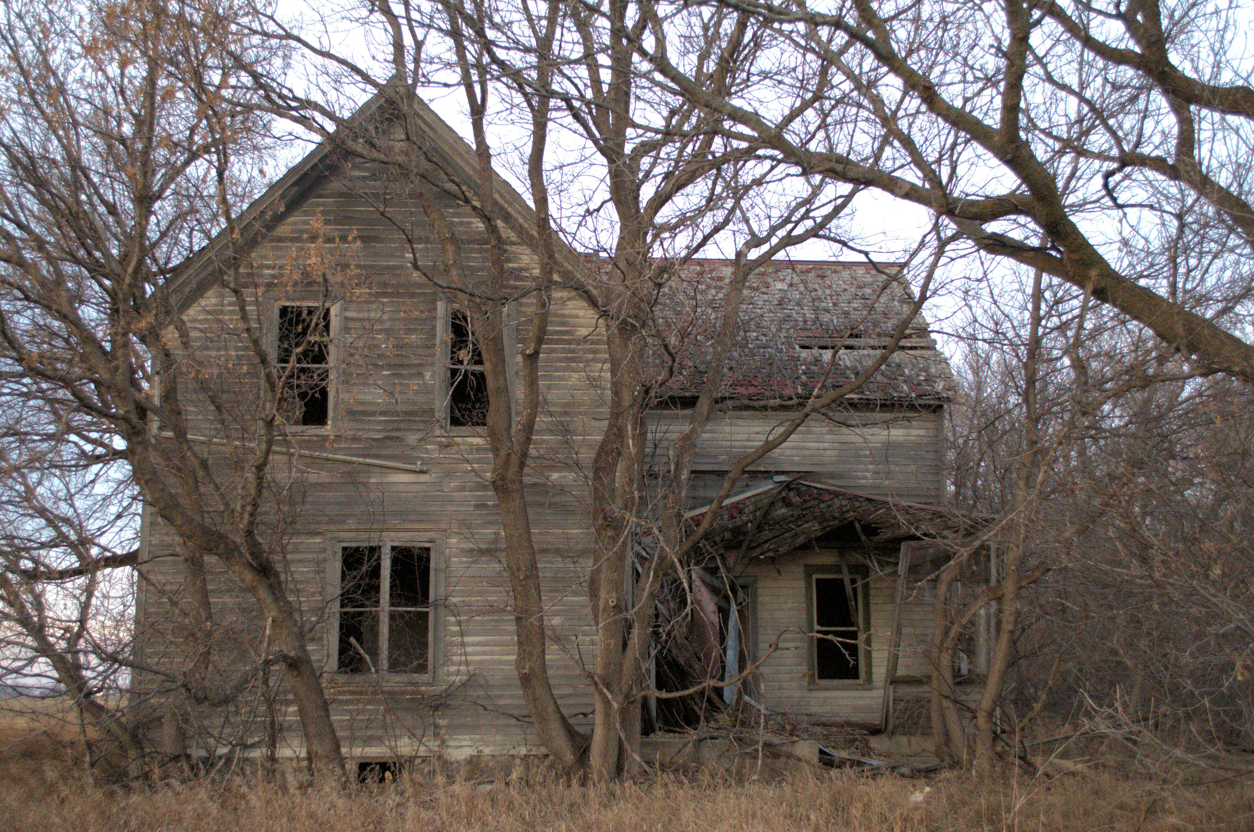
Where did they go? II
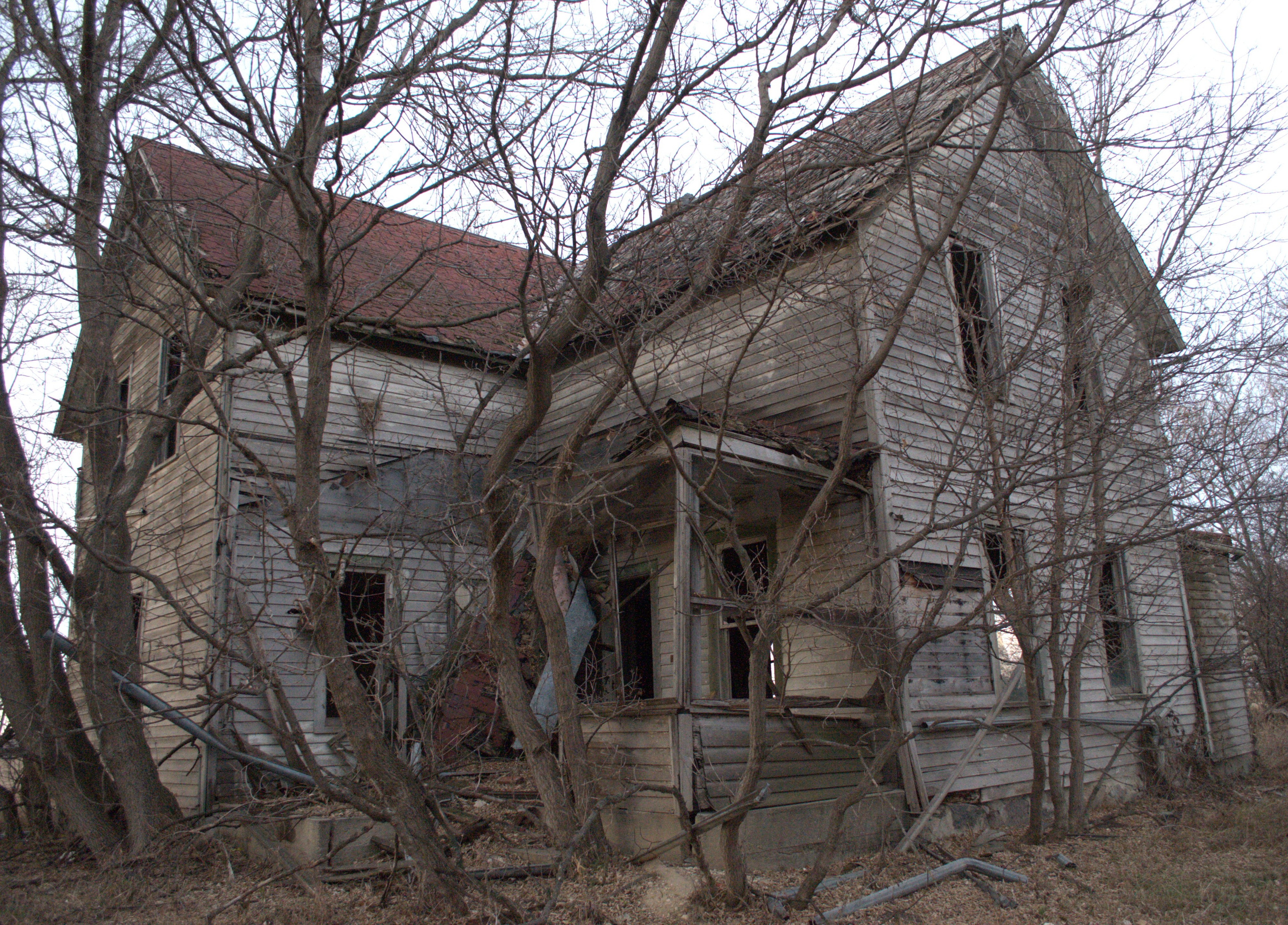
Where did they go? I

Burning prairie
Topographic Map of th Ave, Chokio, MN, USA
Find elevation by address:

Places near th Ave, Chokio, MN, USA:
Artichoke Township
Alberta
Main St, Alberta, MN, USA
Stevens County
Graceville Township
Morris
101 W 5th St
2nd Street Southeast
4th St, Donnelly, MN, USA
Donnelly
Imperial Dr, Morris, MN, USA
University Of Minnesota, Morris
Graceville
W St Peter Ave, Graceville, MN, USA
Big Stone County
Big Stone City
Lac Qui Parle County
6th St, Hancock, MN, USA
Kragero Township
Elevator Rd, Milan, MN, USA
Recent Searches:
- Elevation of Corso Fratelli Cairoli, 35, Macerata MC, Italy
- Elevation of Tallevast Rd, Sarasota, FL, USA
- Elevation of 4th St E, Sonoma, CA, USA
- Elevation of Black Hollow Rd, Pennsdale, PA, USA
- Elevation of Oakland Ave, Williamsport, PA, USA
- Elevation of Pedrógão Grande, Portugal
- Elevation of Klee Dr, Martinsburg, WV, USA
- Elevation of Via Roma, Pieranica CR, Italy
- Elevation of Tavkvetili Mountain, Georgia
- Elevation of Hartfords Bluff Cir, Mt Pleasant, SC, USA