Elevation of th Ave, Aledo, IL, USA
Location: United States > Illinois > Mercer County >
Longitude: -90.61372
Latitude: 41.309843
Elevation: 247m / 810feet
Barometric Pressure: 98KPa
Elevation Map:
Satellite Map:
Related Photos:
IMG_9658.JPG
camden 12 view from tee

Storm clouds

St. Mary Monastery | Rock Island, IL | John Van Dyke - SSV

Rainbow barn-Lomoish effect
The back eighty
camden 4
camden 5
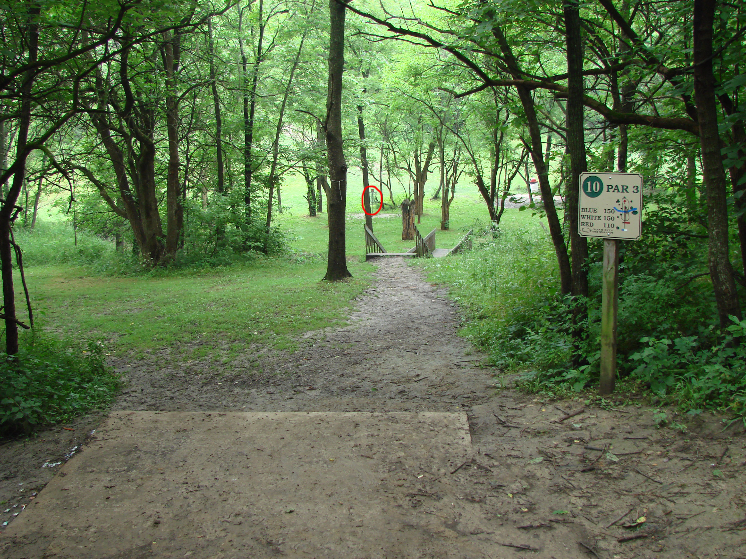
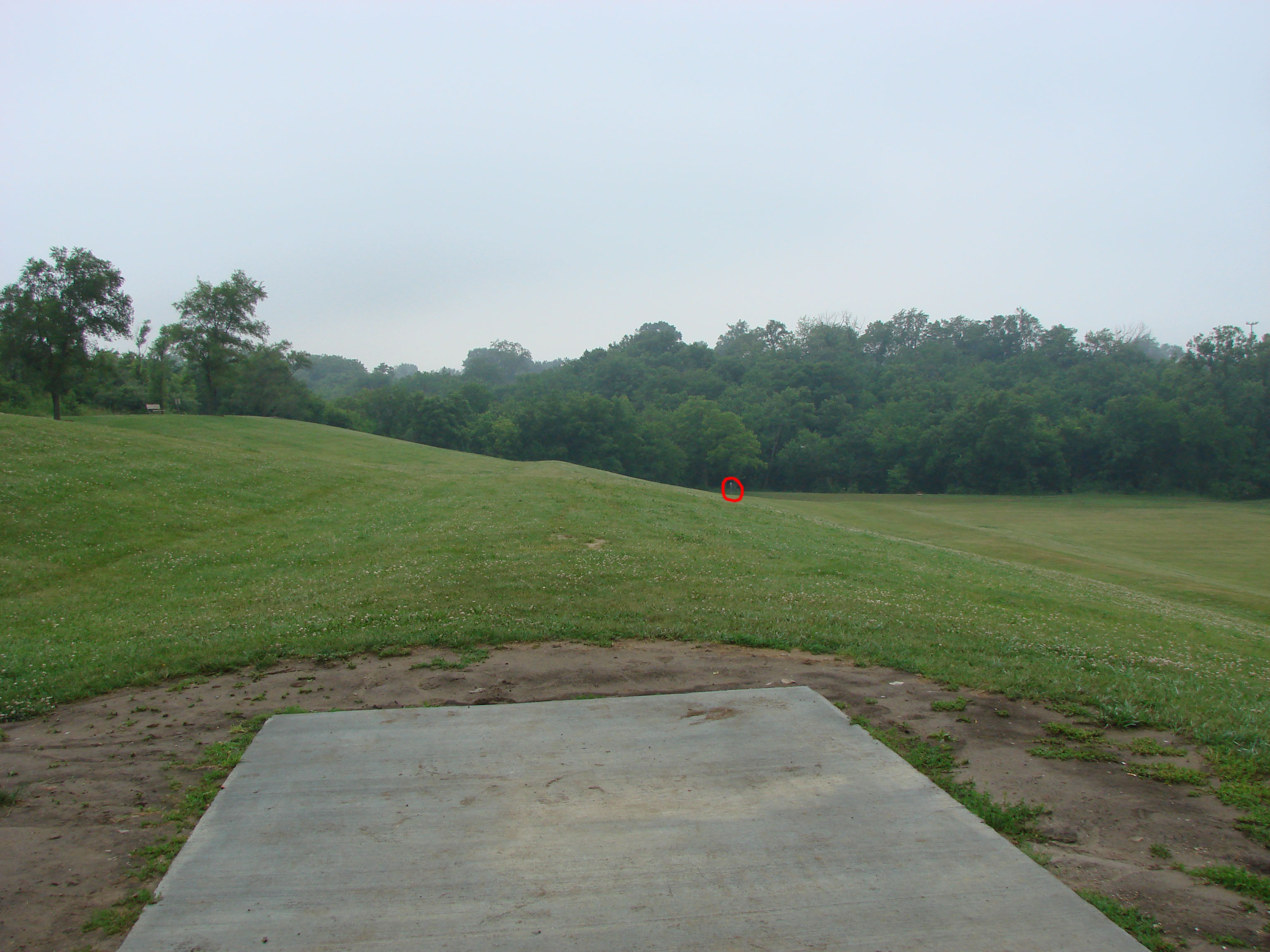
camden 10
camden 14 hole

The Farm
Topographic Map of th Ave, Aledo, IL, USA
Find elevation by address:

Places near th Ave, Aledo, IL, USA:
W Main St, Reynolds, IL, USA
Reynolds
Bowling Township
th Ave W, Milan, IL, USA
Taylor Ridge
Rock Island County
Sherrard
3rd St, Sherrard, IL, USA
Coyne Center Rd, Milan, IL, USA
Coyne Center
9915 Ridgewood Rd
Milan Rifle Club Inc
9221 51st St W
8900 Ridgewood Rd
1st St E, Milan, IL, USA
Blackhawk Township
1200 2nd Ave W
7426 25th St
Milan
8533 55th St
Recent Searches:
- Elevation of Corso Fratelli Cairoli, 35, Macerata MC, Italy
- Elevation of Tallevast Rd, Sarasota, FL, USA
- Elevation of 4th St E, Sonoma, CA, USA
- Elevation of Black Hollow Rd, Pennsdale, PA, USA
- Elevation of Oakland Ave, Williamsport, PA, USA
- Elevation of Pedrógão Grande, Portugal
- Elevation of Klee Dr, Martinsburg, WV, USA
- Elevation of Via Roma, Pieranica CR, Italy
- Elevation of Tavkvetili Mountain, Georgia
- Elevation of Hartfords Bluff Cir, Mt Pleasant, SC, USA