Elevation of Tenke, Democratic Republic of the Congo
Location: Democratic Republic Of The Congo > Katanga > Kolwezi >
Longitude: 26.1211713
Latitude: -10.603841
Elevation: 1442m / 4731feet
Barometric Pressure: 85KPa
Elevation Map:
Satellite Map:
Related Photos:
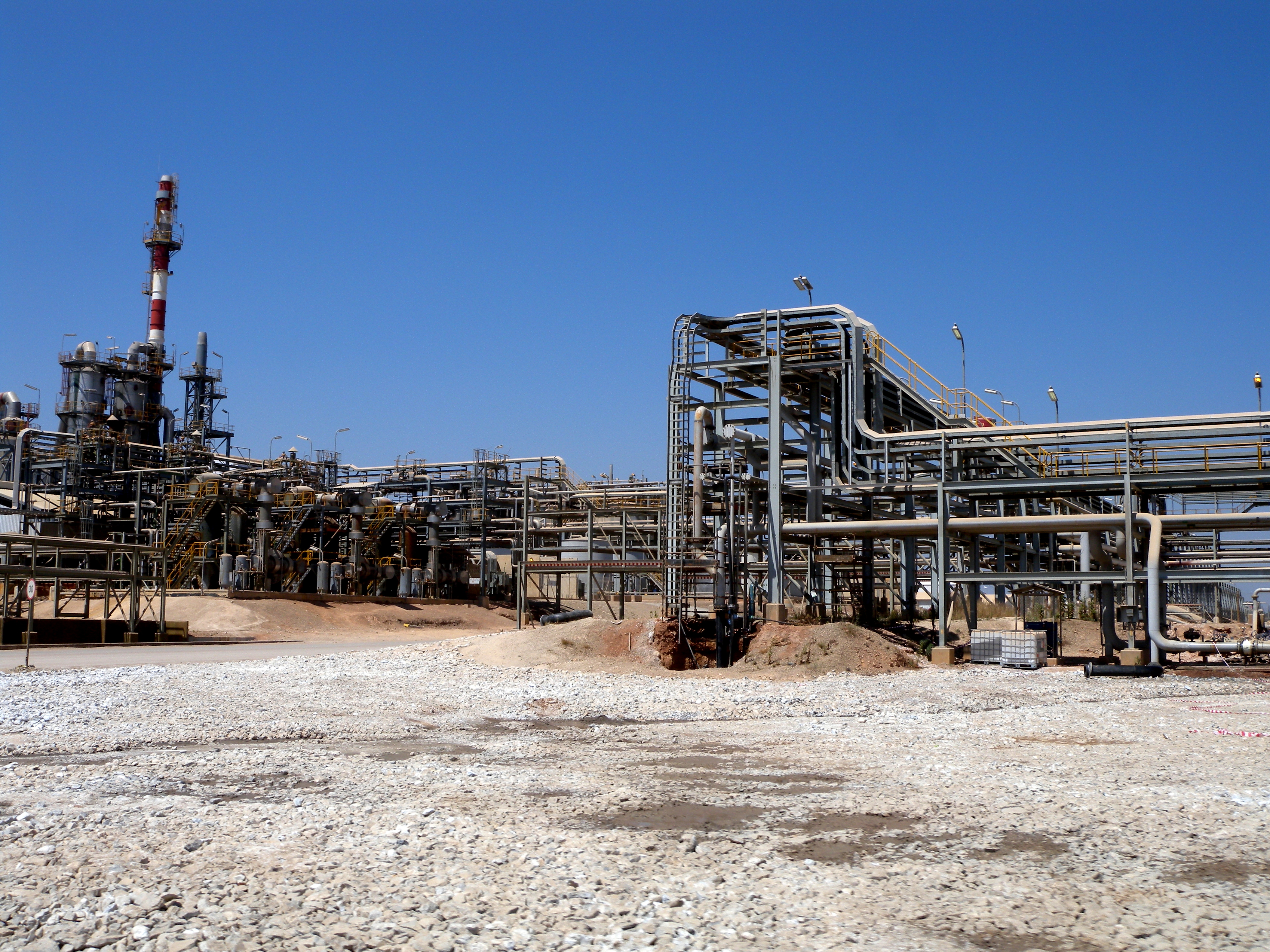
Tenke Fungurume Mining plant - DRC
Topographic Map of Tenke, Democratic Republic of the Congo
Find elevation by address:

Places near Tenke, Democratic Republic of the Congo:
Recent Searches:
- Elevation of Corso Fratelli Cairoli, 35, Macerata MC, Italy
- Elevation of Tallevast Rd, Sarasota, FL, USA
- Elevation of 4th St E, Sonoma, CA, USA
- Elevation of Black Hollow Rd, Pennsdale, PA, USA
- Elevation of Oakland Ave, Williamsport, PA, USA
- Elevation of Pedrógão Grande, Portugal
- Elevation of Klee Dr, Martinsburg, WV, USA
- Elevation of Via Roma, Pieranica CR, Italy
- Elevation of Tavkvetili Mountain, Georgia
- Elevation of Hartfords Bluff Cir, Mt Pleasant, SC, USA