Elevation of Teakettle Mountain South, Montana, USA
Location: United States > Montana > Flathead County > Columbia Falls >
Longitude: -114.10666
Latitude: 48.4027777
Elevation: 1793m / 5883feet
Barometric Pressure: 82KPa
Elevation Map:
Satellite Map:
Related Photos:
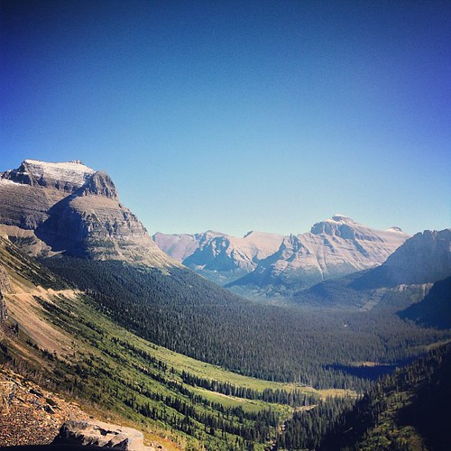
Incredible views at Glacier National Park! Taken from the Going-to-the-Sun Highway. That road is out of this world!

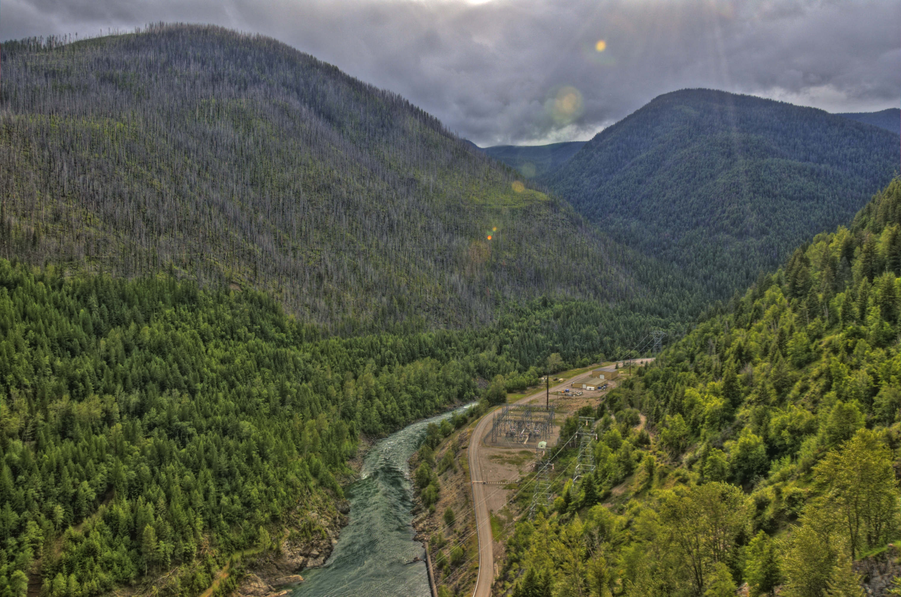
Emery Creek

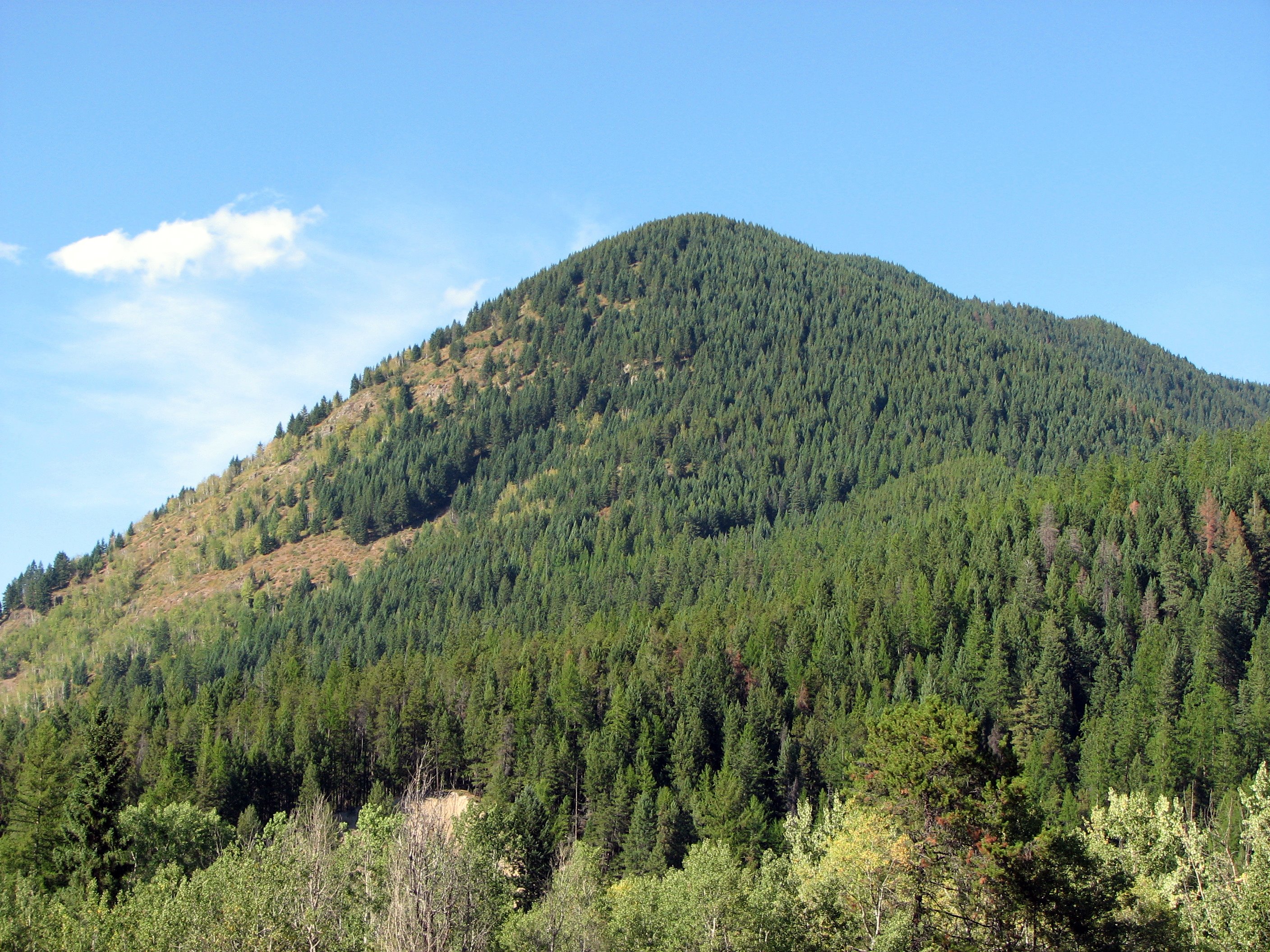
View from the top

2013-10-04 15;20;46
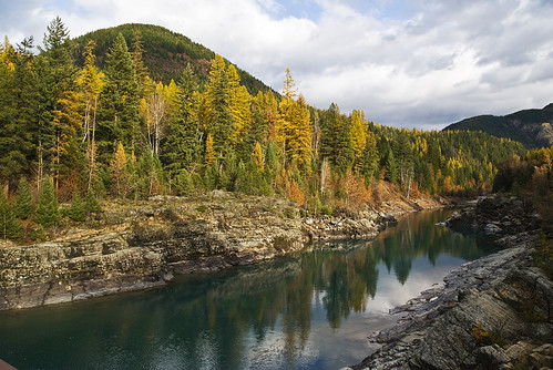
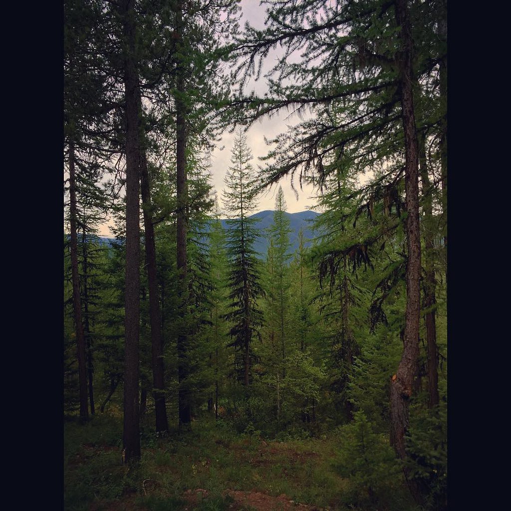
Larch along the Middle Fork of the Flathead

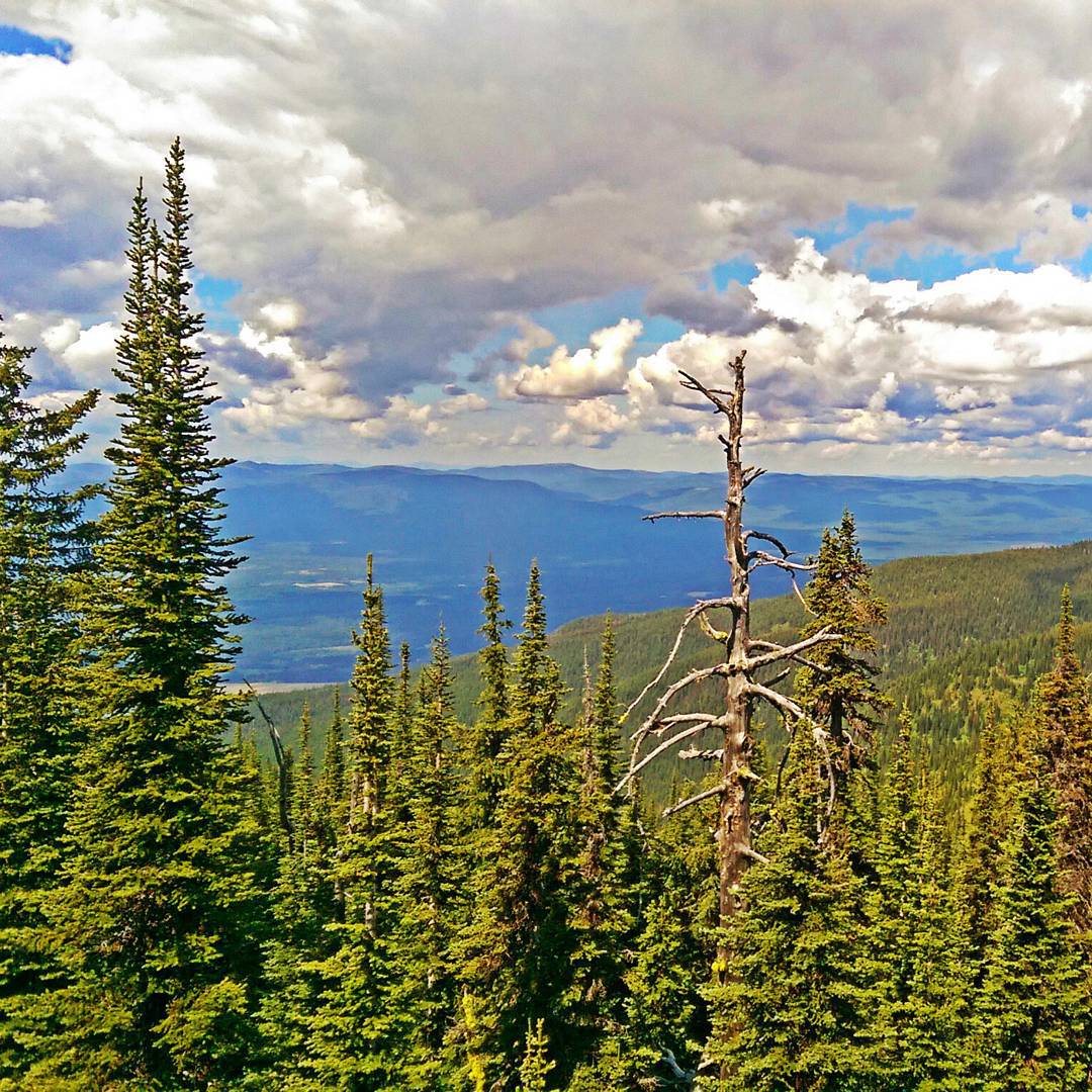
Views of Glacier

Glacier National Park - View from Apgar Lookout
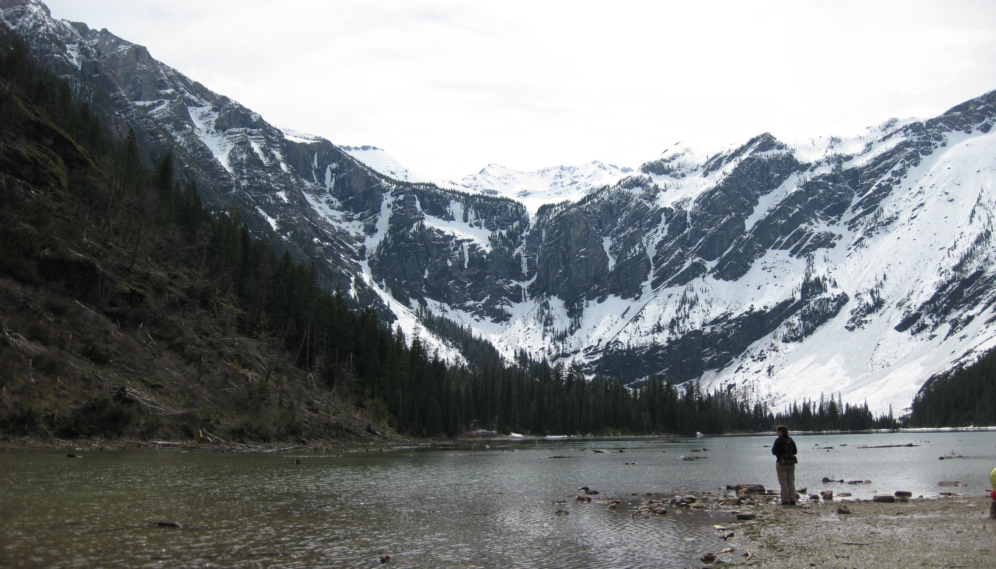
Glacier Bowl

Good's Curve
View from the top of Whitefish Mountain
hungry horse dam 1
The View from the Belton
The view from our cabin...I think I could get used to this! The pine trees smell amazing! #Montana #roadtrip
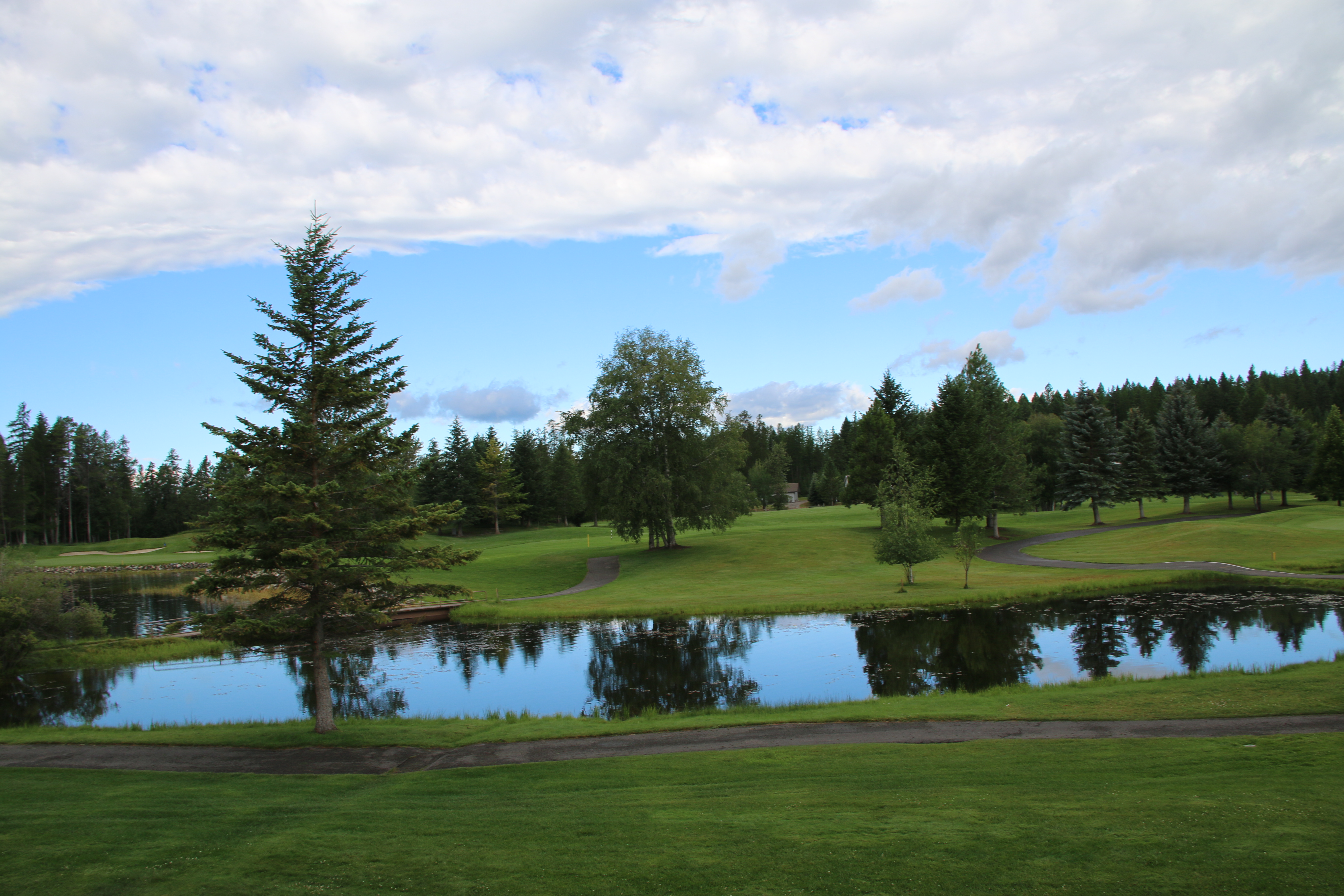
Meadow Lake morning view
Topographic Map of Teakettle Mountain South, Montana, USA
Find elevation by address:

Places near Teakettle Mountain South, Montana, USA:
519 Apgar Vw
Hungry Horse
Flathead County
464 Tangent Rd
Coram
1810 N Fork Rd
Historic Tamarack Lodge & Cabins
Martin City
991 Lake Dr
425 Seville Ln
1445 Glacier Hills Dr
Columbia Falls
5995 Columbia Falls Stage Rd
5665 Columbia Falls Stage Rd
Tamarack Ln, Columbia Falls, MT, USA
1655 Platte Rd
1500 12th Ave W
3665 Columbia Falls Stage Rd
101 Breezy Bay Dr
Glacier Guides And Montana Raft
Recent Searches:
- Elevation of Corso Fratelli Cairoli, 35, Macerata MC, Italy
- Elevation of Tallevast Rd, Sarasota, FL, USA
- Elevation of 4th St E, Sonoma, CA, USA
- Elevation of Black Hollow Rd, Pennsdale, PA, USA
- Elevation of Oakland Ave, Williamsport, PA, USA
- Elevation of Pedrógão Grande, Portugal
- Elevation of Klee Dr, Martinsburg, WV, USA
- Elevation of Via Roma, Pieranica CR, Italy
- Elevation of Tavkvetili Mountain, Georgia
- Elevation of Hartfords Bluff Cir, Mt Pleasant, SC, USA