Elevation of 12th Ave W, Columbia Falls, MT, USA

Location: United States > Montana > Flathead County > Columbia Falls >

Longitude: -114.19871

Latitude: 48.3646902

Elevation: 933m / 3061feet

Barometric Pressure: 91KPa

Elevation Map:

elevation map of 12th Ave W, Columbia Falls, MT, USA

Satellite Map:

Satellite map of 12th Ave W, Columbia Falls, MT, USA

Related Photos:

montana whitefish whitefishlake citybeach lowclouds clouds ice winter trees slopes mountain houses shoreline feburary snow wyojones mp np
Stacked Clouds
trees sunset river montana unitedstates goldenhour columbiafalls flatheadriver
Flathead Gold
meadowlakegolfcourse columbiafalls
Meadow Lake Golf Course
hungryhorse hungryhorsedam hungryhorsereservoir dam flatheadnationalforest flatheadriver southforkflatheadriver river reservoir recreationarea tree trees forest outdoor outdoors flathead southfork mountain mountains mountainside road westsideroad nf895 montana
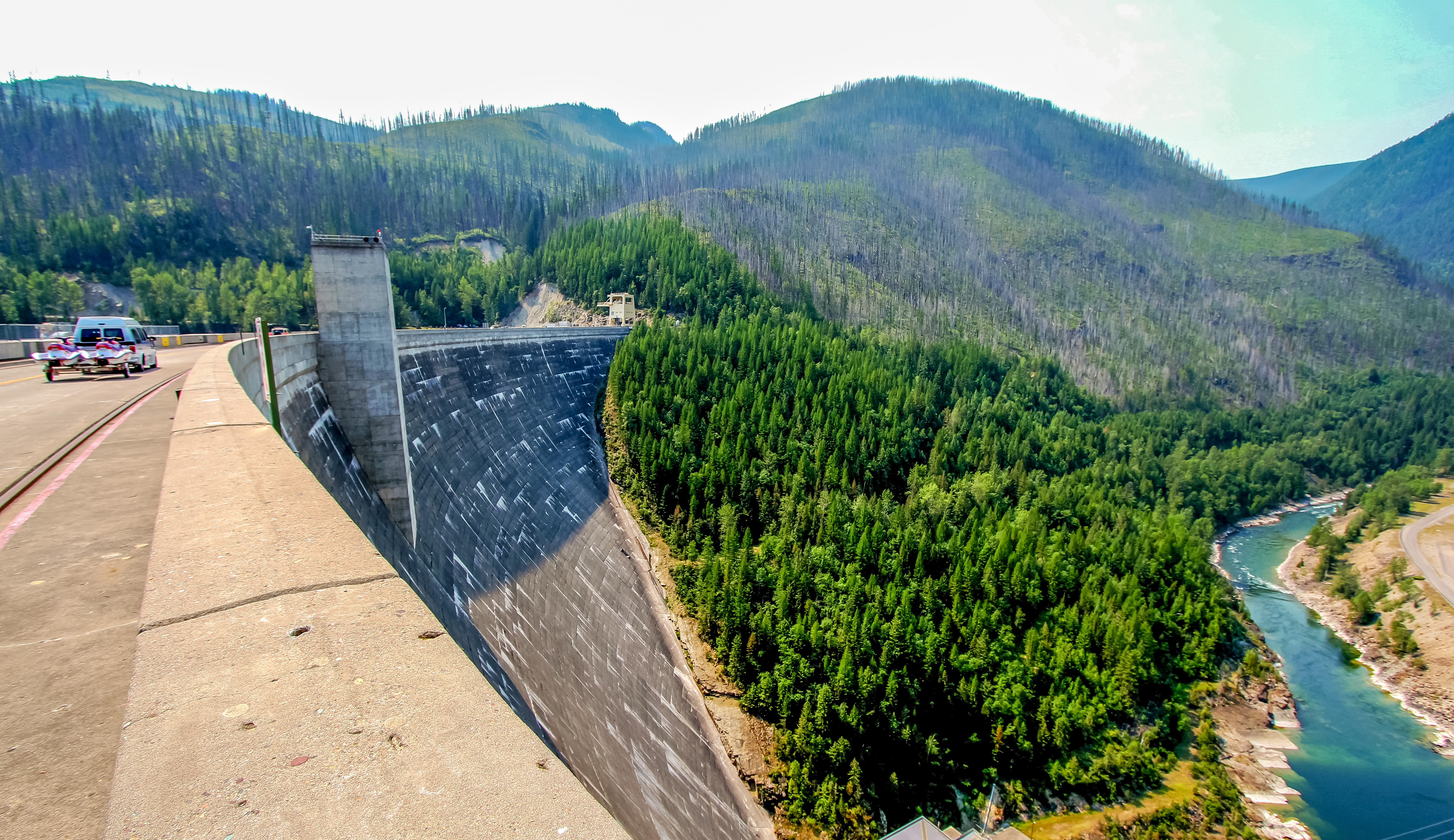
South Fork Flathead River viewed from the Hungry Horse Dam in Montana
kids mountainbiking view whitefish montana
Mountain Biking the Whitefish Trail
montana postoffice cpo hungryhorse flatheadcounty
Hungry Horse, Montana 59919
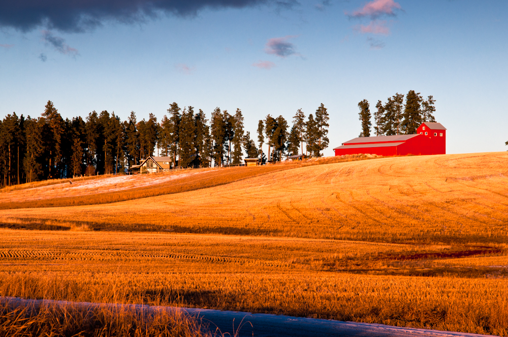
landscape photography montana farm kalispell
A barn with a view
View from the Mtn
montana whitefish whitefishlake citybeach lowclouds clouds ice winter trees slopes mountain houses shoreline feburary snow wyojones
Low, Draping Clouds
montana whitefish whitefishlake citybeach lowclouds clouds ice winter trees slopes mountain houses shoreline feburary snow bigmountain whitefishlodge icecovered wyojones
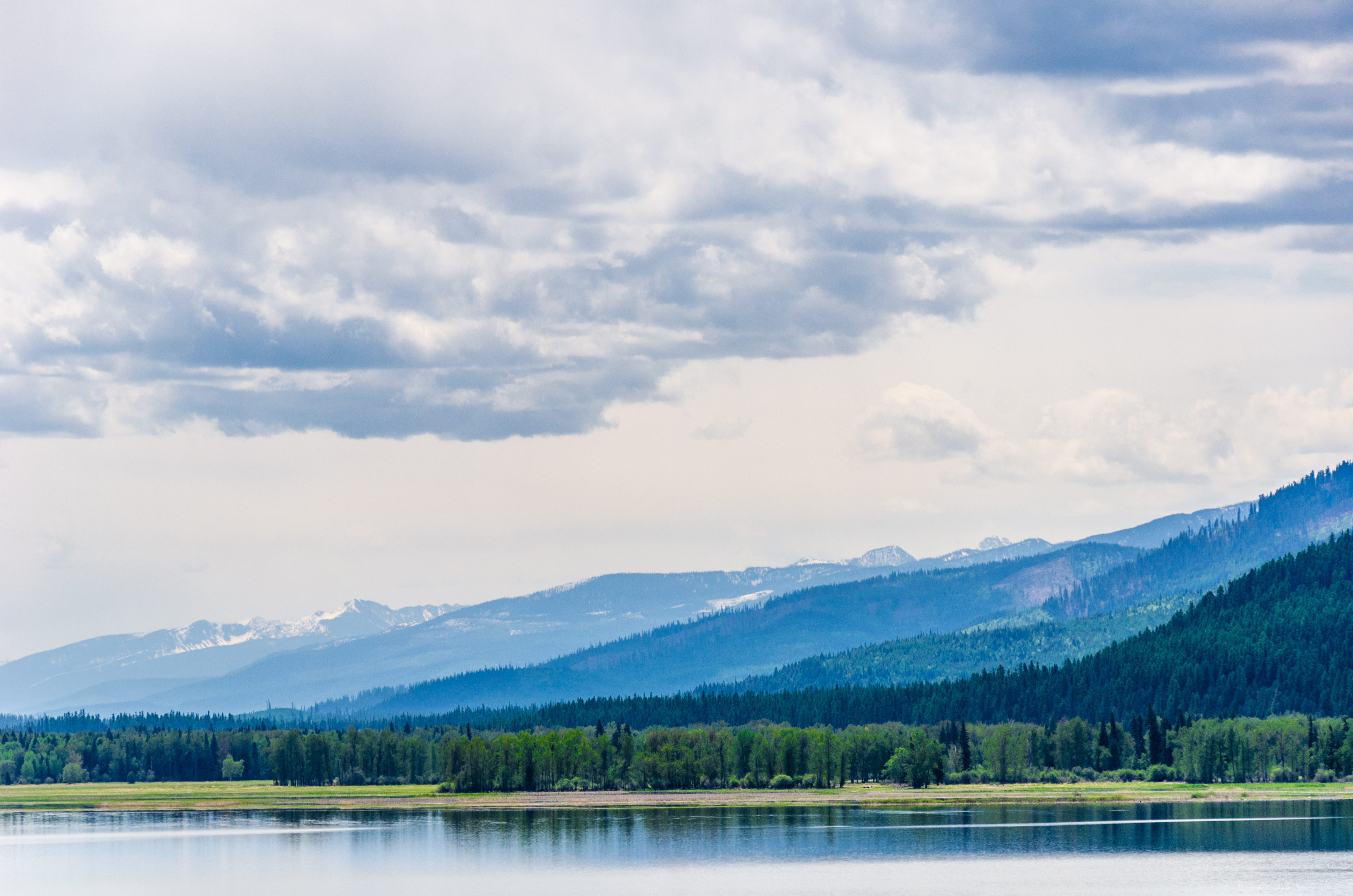
Eastern Shore of Whitefish Lake
montana whitefish whitefishlake citybeach lowclouds clouds ice winter trees slopes mountain houses shoreline feburary snow wyojones
Cloudy Morning
montana whitefish feburary wintercarnival woodstockwhitefish 60s 1969 vintage vest hat bluejeans tennisshoes leash dog eyes blueeyes stance woman girl hair blonde longhair dogwalking wyojones
Dog Walking
montana feburary snow snowmen yard winter wintercarnivaparaderoute winterfun wyojones
Snowman Couple
Not the greatest view, but we'll have better views tomorrow
lake rainbow halo lodge whitefish radius 22º
Not a rainbow, might be a 22º radius halo, Whitefish Lake, Montana
mountain mountains 120 6x6 film mediumformat spring montana forrest landmark stereo epson sputnik ektachrome e100vs icicles expiredfilm filmphotography flatheadriver hungryhorse sekonic v750 l778
Spring Icicles
duplex homes houses duplexhomes baypointroad whitefishlake whitefish montana usa westernusatrip2018 2018 canond60 sigma1770 1770 panorama msice msicepanorama microsofticepanorama sky grass road landscape
Duplex Homes on Bay Point Road, Whitefish Lake, Whitefish, Montana, USA
fog geotagged montana day whitefish empirebuilder regionwide
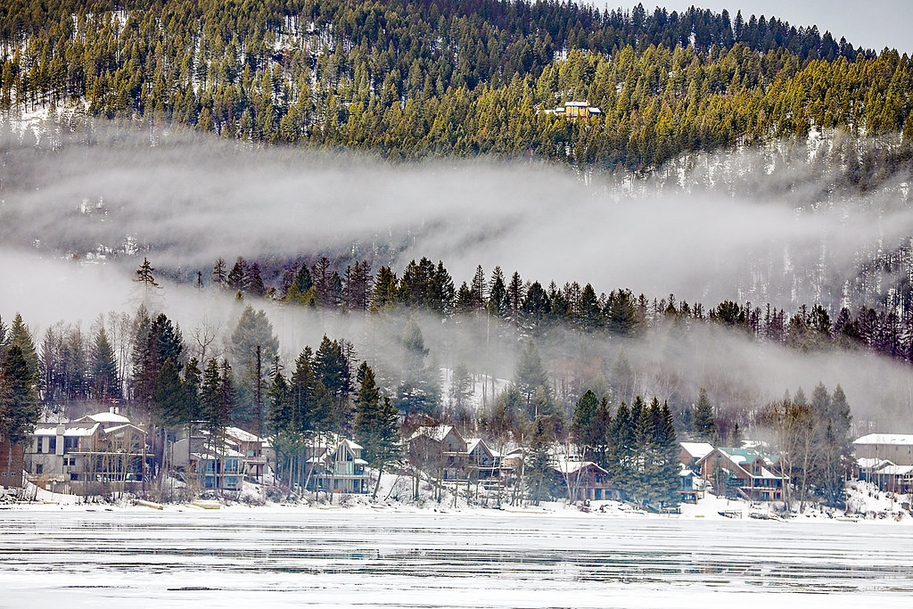
Valley Fog - Whitefish, Montana
instagramapp square squareformat iphoneography uploaded:by=instagram
Hiked to hidden Lake with bearhat mountain in the middle. An absolutely beautiful view from up above. Before arriving to glacier national park, I wasn't too impressed with some photos I saw but once we arrived, I was in awe the whole time. Towering mounta
mamiya 7 test
Mamiya 7II, 80mm lens test shot Nikon 9000 scanner
travel july amtrak whitefish bnsf eastbound empirebuilder 2011 flatheadtunnel
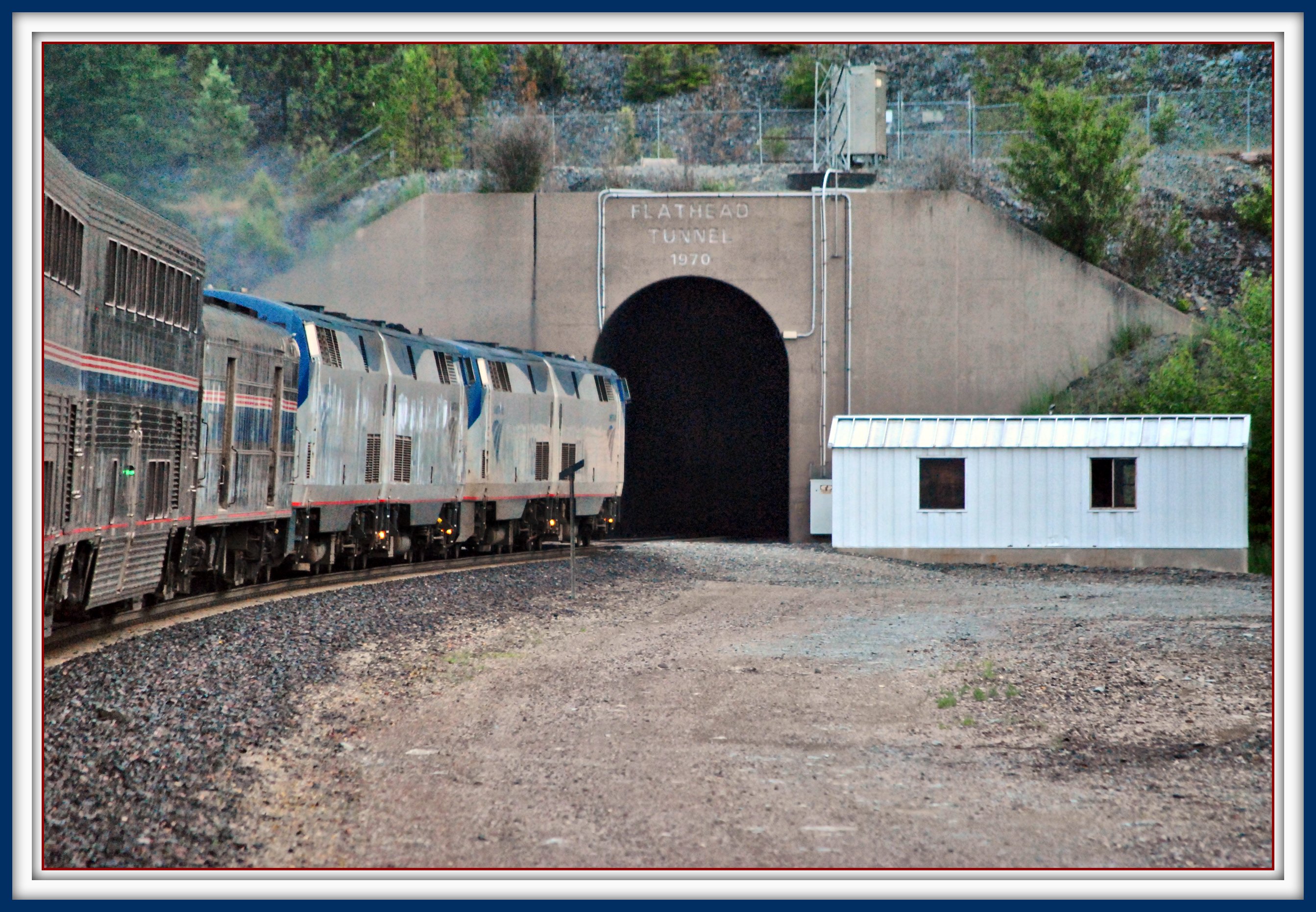
Eastbound Empire Builder Enters Flathead Tunnel (2 Views)
freedom sunny kalispell winter northamerica nature nationalpark exploration whitefish canon train tree snow vacation sun usa peace wildlife glaciernp travel exposure hiking quiet landscape sunlight montana beautiful naturallight wonder unitedstates us
Train in Blizzard
red sky clouds barn fence landscape photography nikon montana unitedstates farm kalispell d90
Afternoon Sky's on the Farm - Kalispell, MT, USA
montana mt swanrange bigfork swanmountains
Swan Range
sunset sky sun mountain lake water montana whitefish
Stark Sunset
trees tree america forest river dam reservoir recreationarea flatheadriver hungryhorsedam hungryhorse flatheadnationalforest hungryhorsereservoir southforkflatheadriver
Hungry Horse Dam
park river montana columbia falls glacier national glaciernationalpark flathead columbiafalls flatheadriver
Flathead River near Columbia Falls
montana mt swanrange bigfork swanmountains
Swan Range
road trip travel autumn usa fall canon drive montana driving open space united north wide 206 powershot states g11 onlyinthecountry
Wide, open space...only in the country
montana glaciernationalpark teepee tipi glamping findyourpark glacierundercanvas
Glacier Under Canvas
hungryhorse hungryhorsedam hungryhorsereservoir montana dam flathearnationalforest flatheadriver southforkflatheadriver river reservoir recreation recreational recreationarea tree trees forest video road bicycle bicyclist landscape outdoor videos westsidesouthforkroad mountain mountains water
Hungry Horse Dam & Reservoir in Flathead National Forest, Montana (2012)
montana mt swanrange bigfork swanmountains
Swan Range
trees tree forest river dam reservoir recreationarea flatheadriver hungryhorsedam hungryhorse flatheadnationalforest hungryhorsereservoir southforkflatheadriver
Hungry Horse Dam and the South Fork Flathead River
montana whitefish goldenwillow salixalbavitellina’ tree ornamental introduced nonnative february depotpark snow downtown storm clouds cloudscape golden color stumptown plant wyojones np
Winter Willow
montana whitefish usa glaciernationalpark
Road trip scenes - Middle Fork - Flathead River, Montana
bnsf coram hilinesub montana railroads xlvwpkv915 bridge mountains
BNSF Coram, MT
montana ©kimtaylor photocontesttnc13 spottedbearmt
Meet Me in Montana
trees lake reflection forest reeds montana unitedstates peaceful nationalforest tranquil flatheadnationalforest goldenhours lionlake martincity
Glowing Reeds
lake us montana unitedstates whitefish
Whitefish_Lake-20160326_085915.jpg