Elevation of Taylorville Township, IL, USA
Location: United States > Illinois > Christian County >
Longitude: -89.303714
Latitude: 39.5877748
Elevation: 185m / 607feet
Barometric Pressure: 99KPa
Elevation Map:
Satellite Map:
Related Photos:
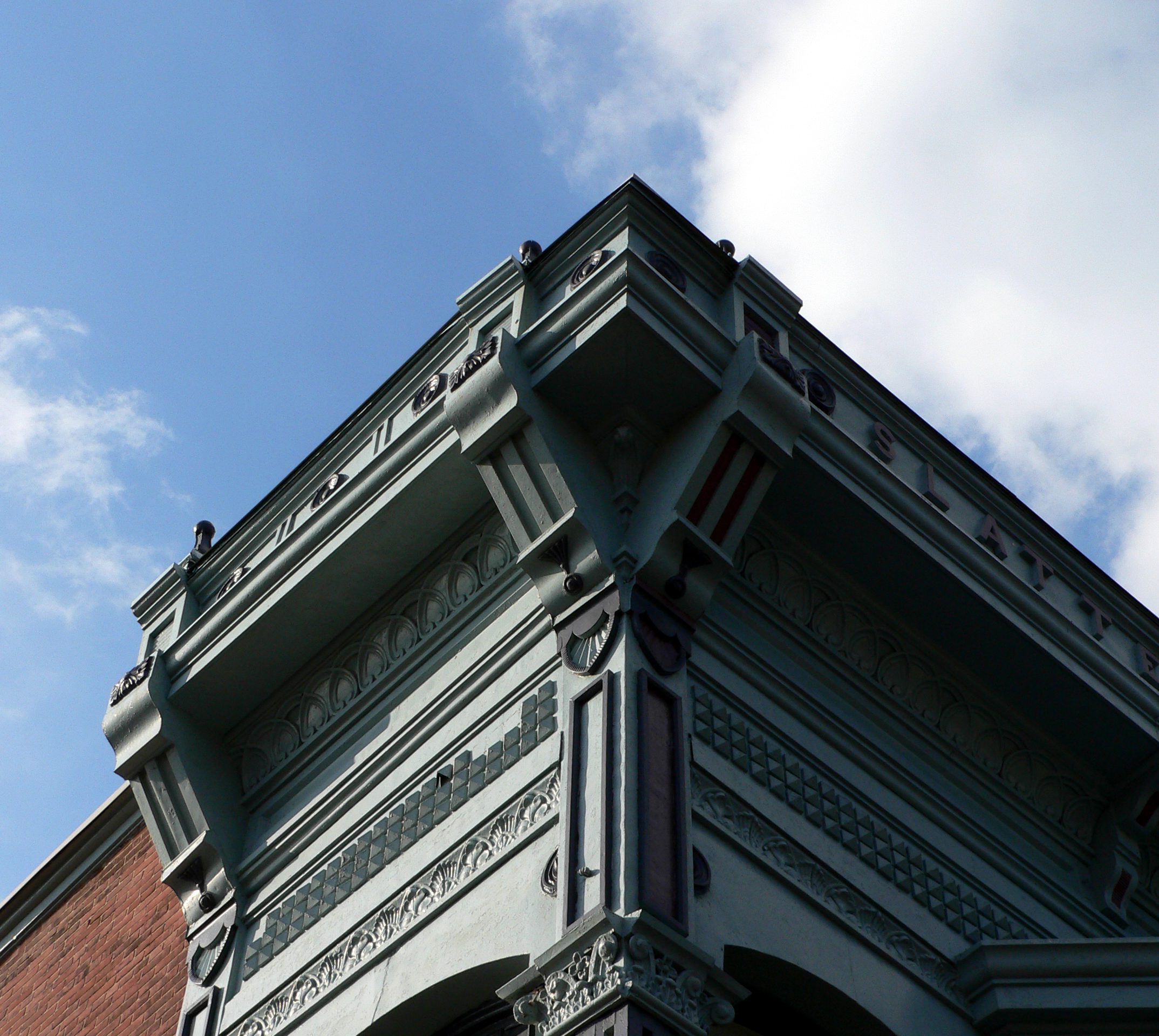
Union Block, Taylorville, Illinois

DSC_2159.JPG

Photo Sep 04, 7 19 54 PM

Photo Sep 04, 7 22 24 PM

a cool evening

sunset 2
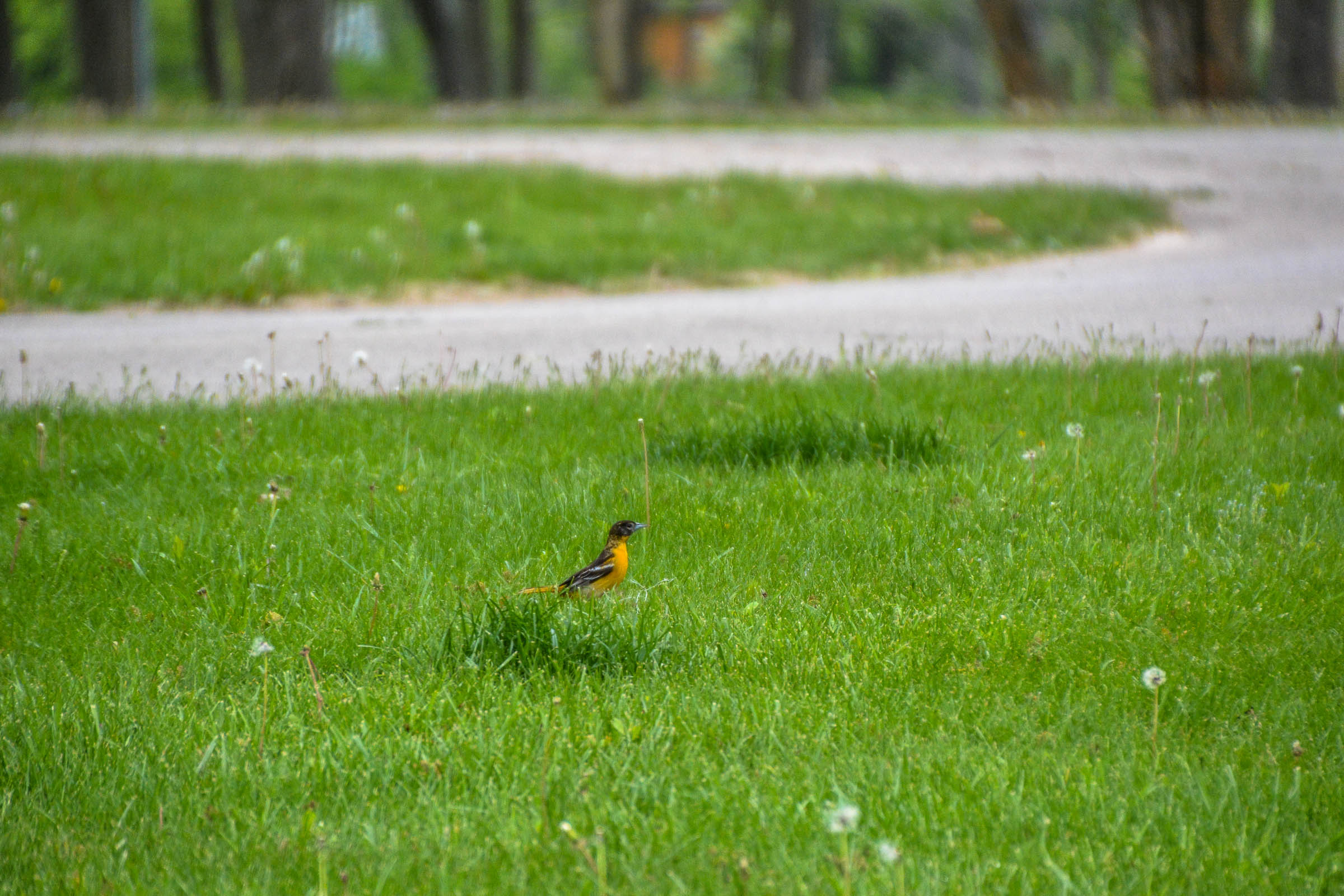
Baltimore Oriole

Sangchris Lake Illinois

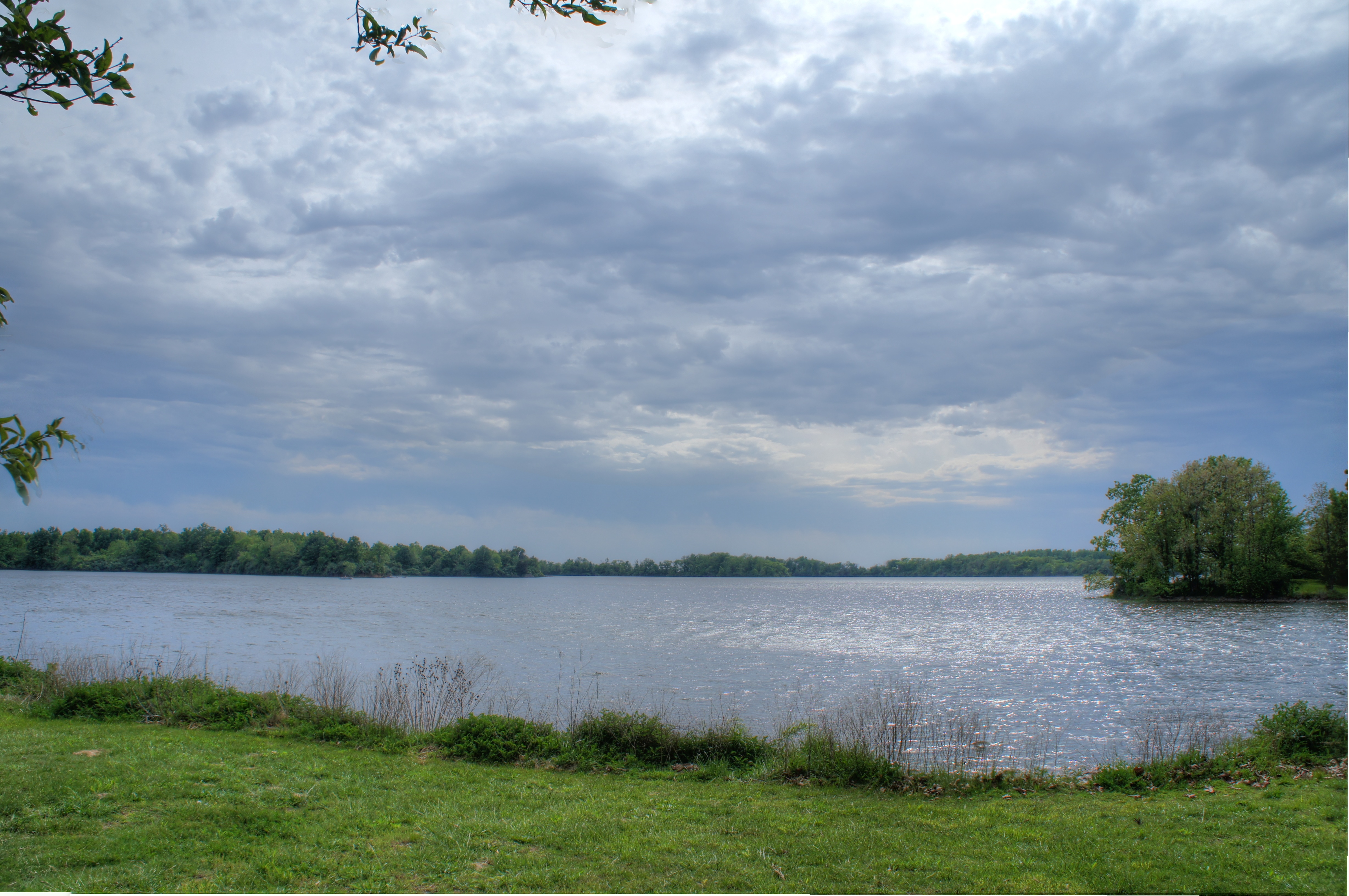
Sunset at Sangchris Lake

Sangchris Lake

waking woods

hot day

Sunset at Sangchris Lake

still green
Sangchris Lake
Moonlit Taurus (3)

Flat Branch

DSC_2157.JPG

beauty for ashes
Topographic Map of Taylorville Township, IL, USA
Find elevation by address:

Places in Taylorville Township, IL, USA:
Places near Taylorville Township, IL, USA:
Christian County
E Calloway St, Taylorville, IL, USA
Buckhart Township
S 1st St, Taylorville, IL, USA
Jeisyville
W Washington St, Edinburg, IL, USA
Edinburg
Kincaid
Main St, Bulpitt, IL, USA
Bulpitt
South Fork Township
2511 County Rd 625 E
IL-29, Rochester, IL, USA
Co Hwy 40, Rochester, IL, USA
Main St, Rochester, IL, USA
Cotton Hill Township
New City Rd, Rochester, IL, USA
7900 Cardinal Hill Rd
Pawnee Township
Lincoln St, Pawnee, IL, USA
Recent Searches:
- Elevation of Corso Fratelli Cairoli, 35, Macerata MC, Italy
- Elevation of Tallevast Rd, Sarasota, FL, USA
- Elevation of 4th St E, Sonoma, CA, USA
- Elevation of Black Hollow Rd, Pennsdale, PA, USA
- Elevation of Oakland Ave, Williamsport, PA, USA
- Elevation of Pedrógão Grande, Portugal
- Elevation of Klee Dr, Martinsburg, WV, USA
- Elevation of Via Roma, Pieranica CR, Italy
- Elevation of Tavkvetili Mountain, Georgia
- Elevation of Hartfords Bluff Cir, Mt Pleasant, SC, USA