Elevation of Tatong VIC, Australia
Location: Australia > Victoria > Benalla Rural City >
Longitude: 146.100975
Latitude: -36.712648
Elevation: 242m / 794feet
Barometric Pressure: 98KPa
Elevation Map:
Satellite Map:
Related Photos:

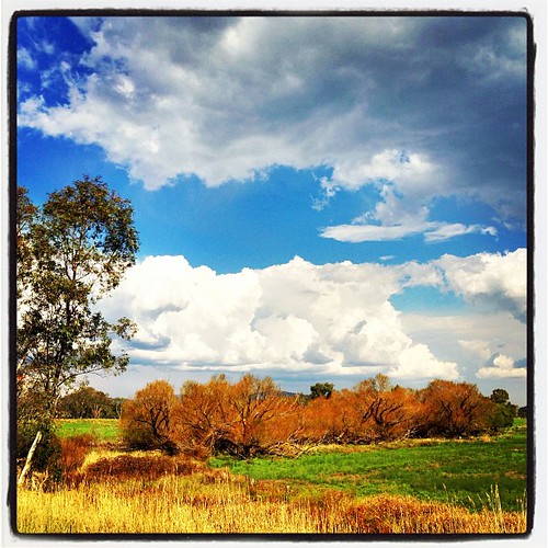
Roadside Scenery (2)

Samaria-Farm-this-afternoon-270816

Valley farm

Mid Broken River - 4 - Oct 2013
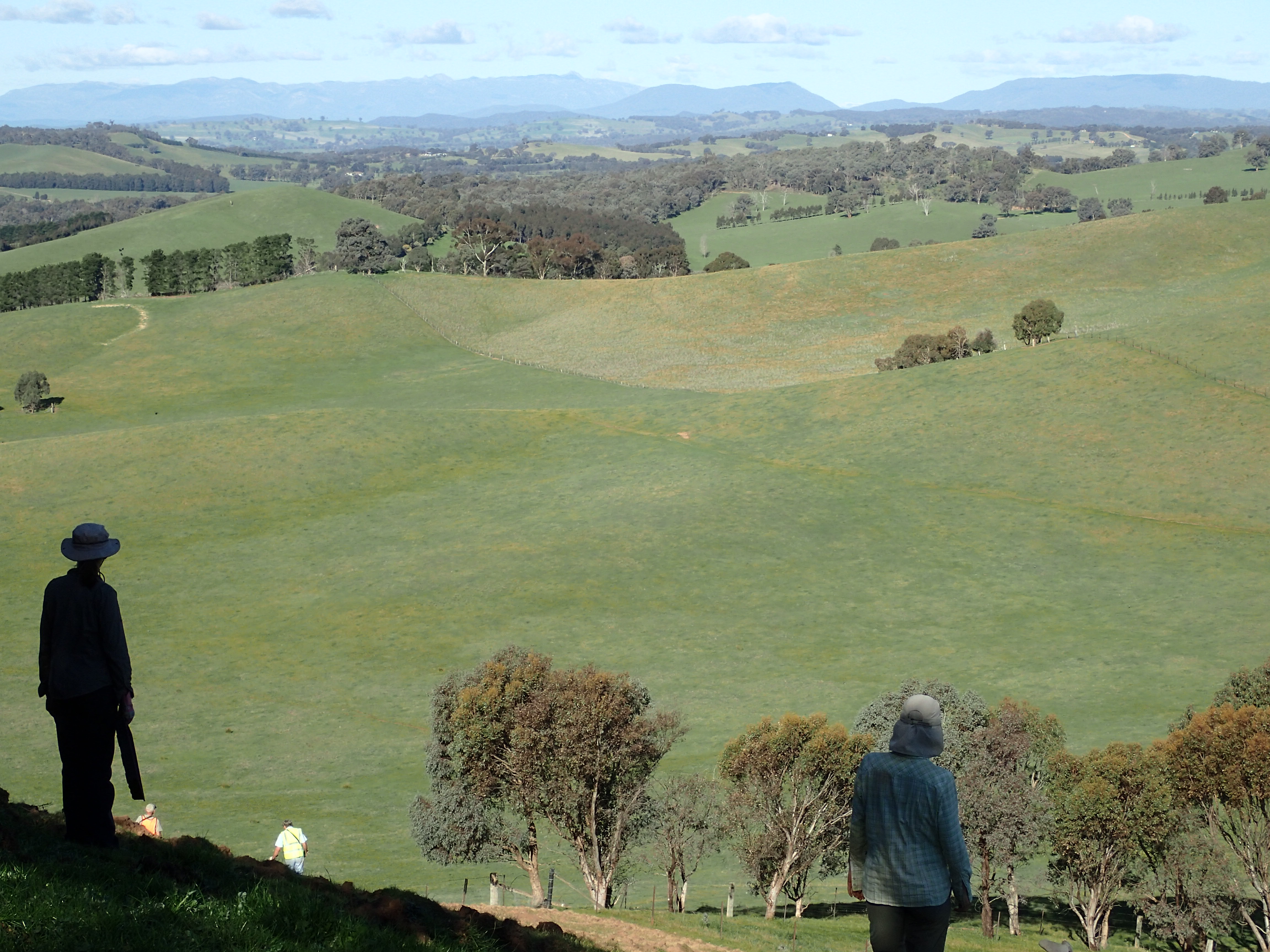
Beautiful country

P8100111 - walking the plank

morning tea
P9060045 looking to Mt Buffalo

P9060043 Saturday lunch

Sunday planting site
Topographic Map of Tatong VIC, Australia
Find elevation by address:

Places in Tatong VIC, Australia:
Places near Tatong VIC, Australia:
Barwal Lodge
45 Stevensons Rd
52 Ambrose Dr
52 Ambrose Dr
52 Ambrose Dr
52 Ambrose Dr
52 Ambrose Dr
52 Ambrose Dr
52 Ambrose Dr
68 Tolmie-mahaikah Rd
980 Tabletop Rd
190 Ambrose Dr
Tolmie
1180 Old Tolmie Rd
17 Peppermint Ln
5 Kent Ct
127 Mt Battery Rd
90 High St
Maindample
917 Dry Creek Rd
Recent Searches:
- Elevation of Corso Fratelli Cairoli, 35, Macerata MC, Italy
- Elevation of Tallevast Rd, Sarasota, FL, USA
- Elevation of 4th St E, Sonoma, CA, USA
- Elevation of Black Hollow Rd, Pennsdale, PA, USA
- Elevation of Oakland Ave, Williamsport, PA, USA
- Elevation of Pedrógão Grande, Portugal
- Elevation of Klee Dr, Martinsburg, WV, USA
- Elevation of Via Roma, Pieranica CR, Italy
- Elevation of Tavkvetili Mountain, Georgia
- Elevation of Hartfords Bluff Cir, Mt Pleasant, SC, USA