Elevation of Tarukh, Maharashtra, India
Location: India > Maharashtra > Satara >
Longitude: 74.0424972
Latitude: 17.2395907
Elevation: 614m / 2014feet
Barometric Pressure: 94KPa
Elevation Map:
Satellite Map:
Related Photos:
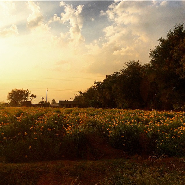
Yellow #yellow #flowers #sunset #pune #india #karad #highway

Reservoir on Koyna river

2013-09-26-2442

#flowers #yellow #instaflower #nature #flowerstagram #instaphotographer #insta #instadaily #instalike #instalovers #flowerlovers #yelloflower #mobile #click #mobilephotography #asus #zenfone2 #zenfoneglobal #karad #pritisangam #external #flash
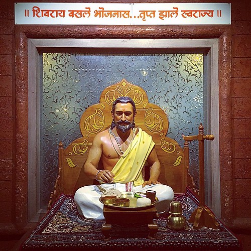
!! अन्न हे पूर्णब्रह्म !! #jayshivaji #raje #swarajya #shivraj #karad #city #art #aawaj #award #abstact #teamwork #PR #prgraphics #photography #picoftheday #shoot #design #fort #film #friends #killa #lights #camera #beauty #bioscope #njoy #nature #marathi

शान भगव्याची ।।जय शिवराय।।

National Highway 4

Such an exhausting weekend trip. #HTC #Puneinstagrammers #Travel #Temple #Sunday #Sunset #Friends #Weekend

2013-09-26-2458

Highway ahead! #Guhagar2013

@Karad naka 1

@Karad naka 2

@Karad naka

Kolhapur-Daund

Kolhapur-Pune

Mandangad-Miraj

Mhasavad-Kolhapur

Miraj-Pune stn

Pandharpur-Mandangad JADA

Sangali-Mumbai

Shirala-Baramati
Topographic Map of Tarukh, Maharashtra, India
Find elevation by address:

Places near Tarukh, Maharashtra, India:
Kusur
Kadhane
Saikade
Tupewadi
Bagalwadi
Kole
Shinganwadi
Taygadewadi
Shidrukwadi
Khale
Talmavale School
Ane
Delewadi
Shibewadi
Mandrulkole Kh.
Old Gharewadi Road
Gharewadi
Gamewadi
Patharwadi
Palekarwadi
Recent Searches:
- Elevation of Corso Fratelli Cairoli, 35, Macerata MC, Italy
- Elevation of Tallevast Rd, Sarasota, FL, USA
- Elevation of 4th St E, Sonoma, CA, USA
- Elevation of Black Hollow Rd, Pennsdale, PA, USA
- Elevation of Oakland Ave, Williamsport, PA, USA
- Elevation of Pedrógão Grande, Portugal
- Elevation of Klee Dr, Martinsburg, WV, USA
- Elevation of Via Roma, Pieranica CR, Italy
- Elevation of Tavkvetili Mountain, Georgia
- Elevation of Hartfords Bluff Cir, Mt Pleasant, SC, USA