Elevation of Bagalwadi, Maharashtra, India
Location: India > Maharashtra > Satara >
Longitude: 74.0285434
Latitude: 17.2692977
Elevation: 773m / 2536feet
Barometric Pressure: 92KPa
Elevation Map:
Satellite Map:
Related Photos:
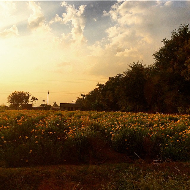
Yellow #yellow #flowers #sunset #pune #india #karad #highway

Reservoir on Koyna river

2013-09-26-2442

#flowers #yellow #instaflower #nature #flowerstagram #instaphotographer #insta #instadaily #instalike #instalovers #flowerlovers #yelloflower #mobile #click #mobilephotography #asus #zenfone2 #zenfoneglobal #karad #pritisangam #external #flash

#rainy #season #mobile #clicks #insta #instagood #instalike #instamood #instafollow #instafamous

शान भगव्याची ।।जय शिवराय।।

National Highway 4

Hide & Seek

Capacity.

2013-09-26-2458

Highway ahead! #Guhagar2013

Early this morning!

@Karad naka 1

@Karad naka 2

@Karad naka

Kolhapur-Daund

Mhasavad-Kolhapur

Pandharpur-Mandangad JADA

Galmewadi-Thane

Dapoli-Miraj

Ichalkaranji-Shirdi
Topographic Map of Bagalwadi, Maharashtra, India
Find elevation by address:

Places near Bagalwadi, Maharashtra, India:
Kadhane
Tupewadi
Shidrukwadi
Palekarwadi
Saikade
Koriwale
Khale
Tarukh
Kusur
Telewadi
Gamewadi
Delewadi
Taygadewadi
Marul Haveli
Mandrulkole Kh.
Sutarwadi
Shibewadi
Talmavale School
Kole
Sajur
Recent Searches:
- Elevation of Corso Fratelli Cairoli, 35, Macerata MC, Italy
- Elevation of Tallevast Rd, Sarasota, FL, USA
- Elevation of 4th St E, Sonoma, CA, USA
- Elevation of Black Hollow Rd, Pennsdale, PA, USA
- Elevation of Oakland Ave, Williamsport, PA, USA
- Elevation of Pedrógão Grande, Portugal
- Elevation of Klee Dr, Martinsburg, WV, USA
- Elevation of Via Roma, Pieranica CR, Italy
- Elevation of Tavkvetili Mountain, Georgia
- Elevation of Hartfords Bluff Cir, Mt Pleasant, SC, USA