Elevation map of Tariat, Mongolia
Location: Mongolia > Arkhangai >
Longitude: 99.9141711
Latitude: 48.2109367
Elevation: 2644m / 8675feet
Barometric Pressure: 73KPa
Elevation Map:
Satellite Map:
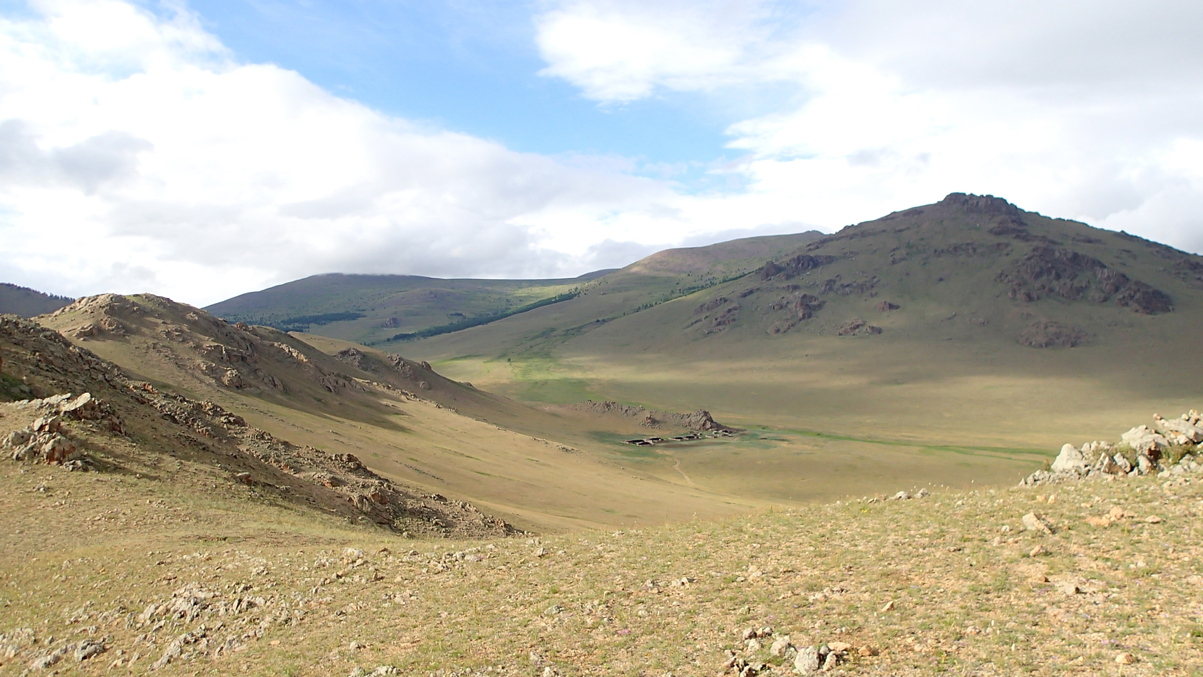
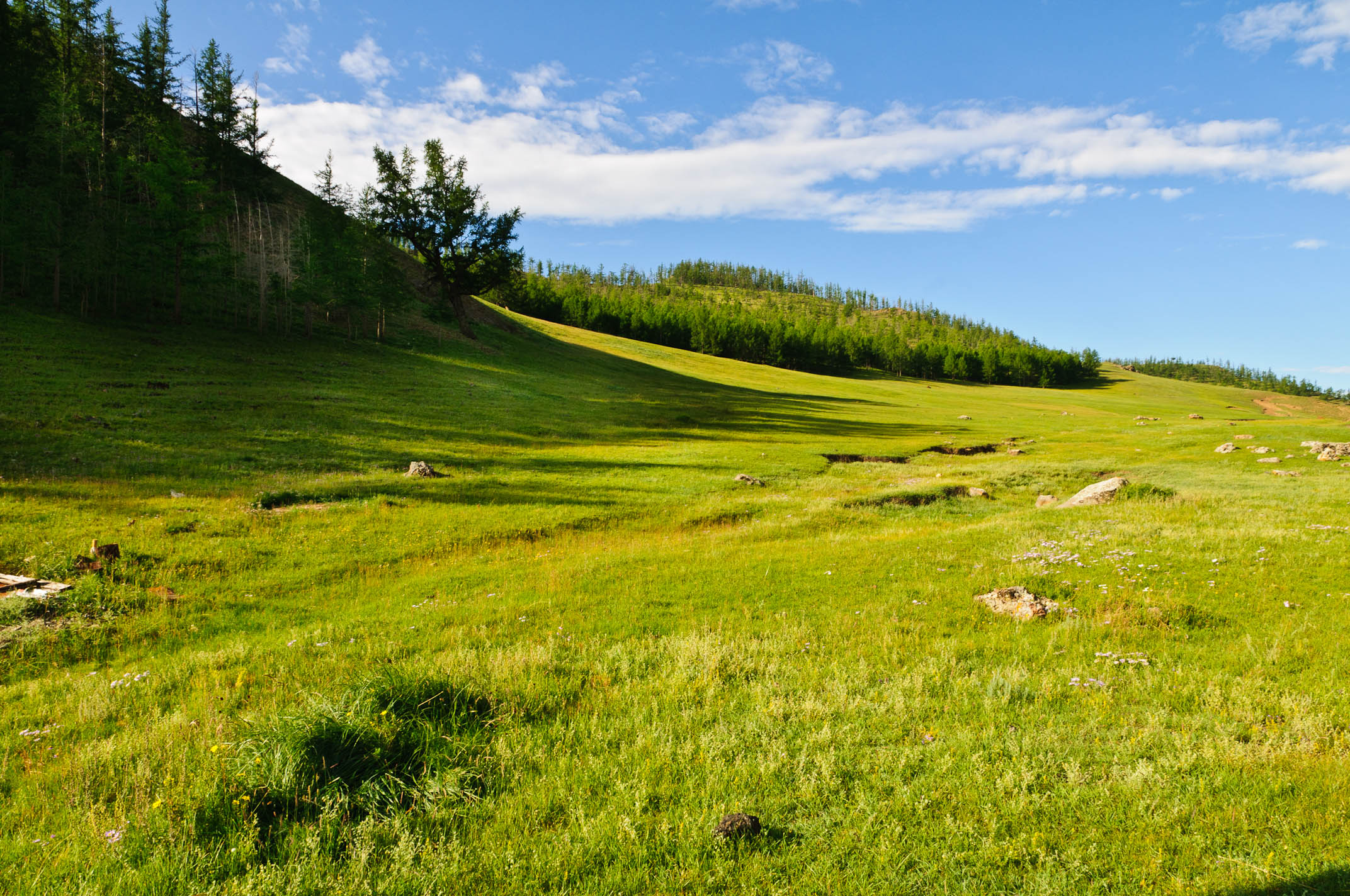
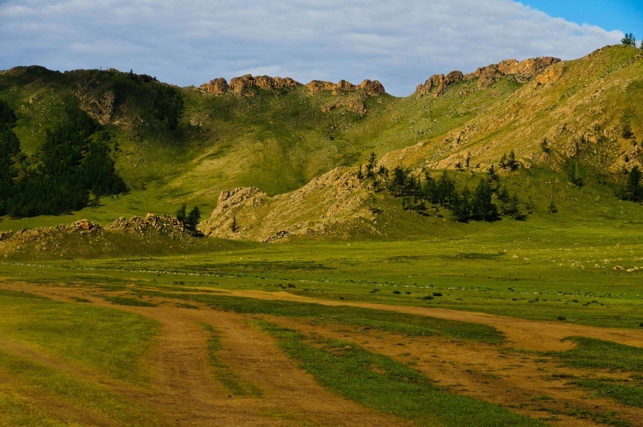
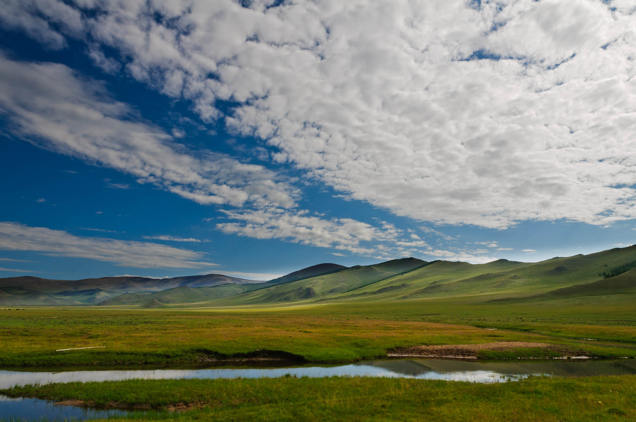
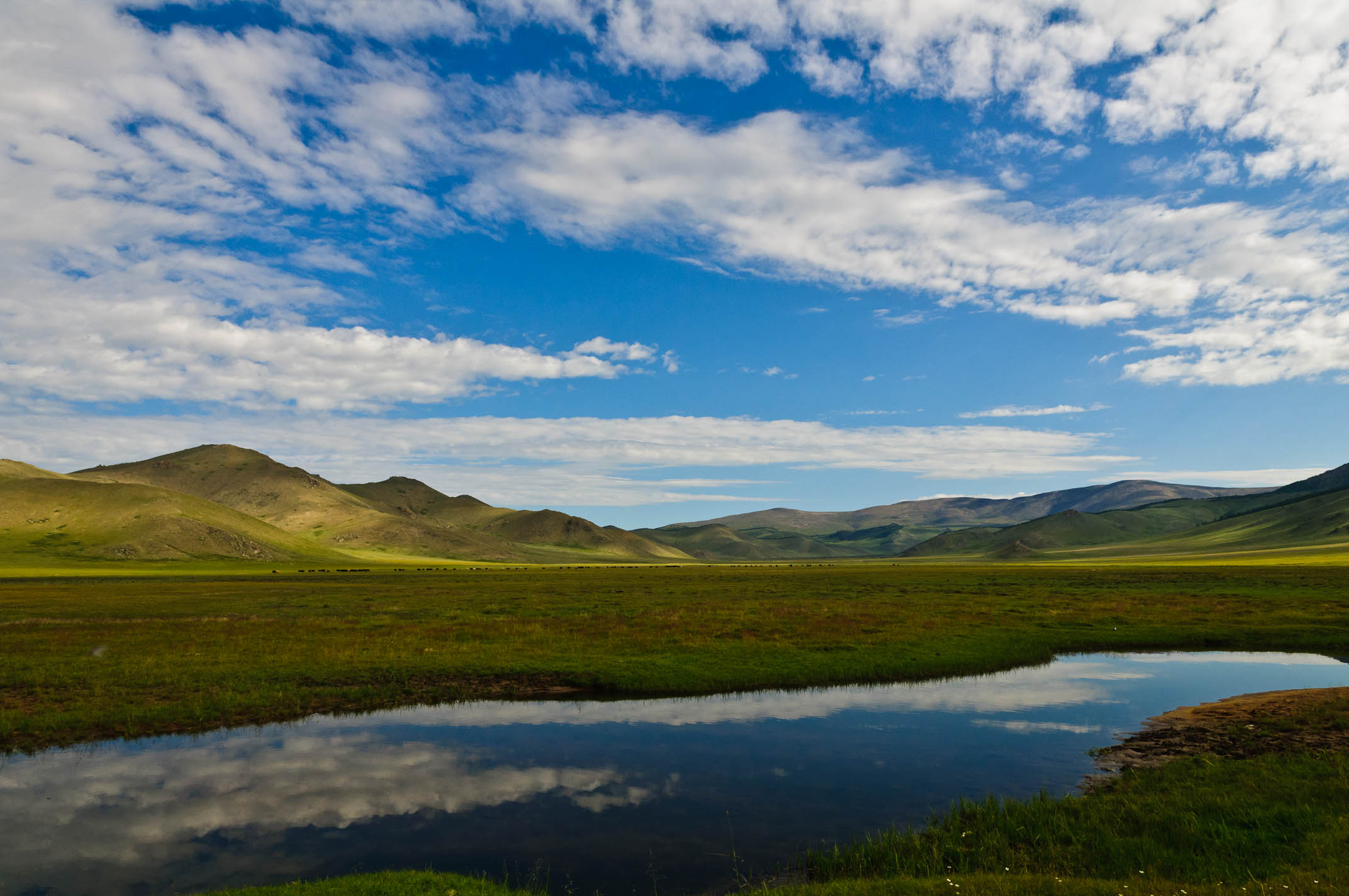
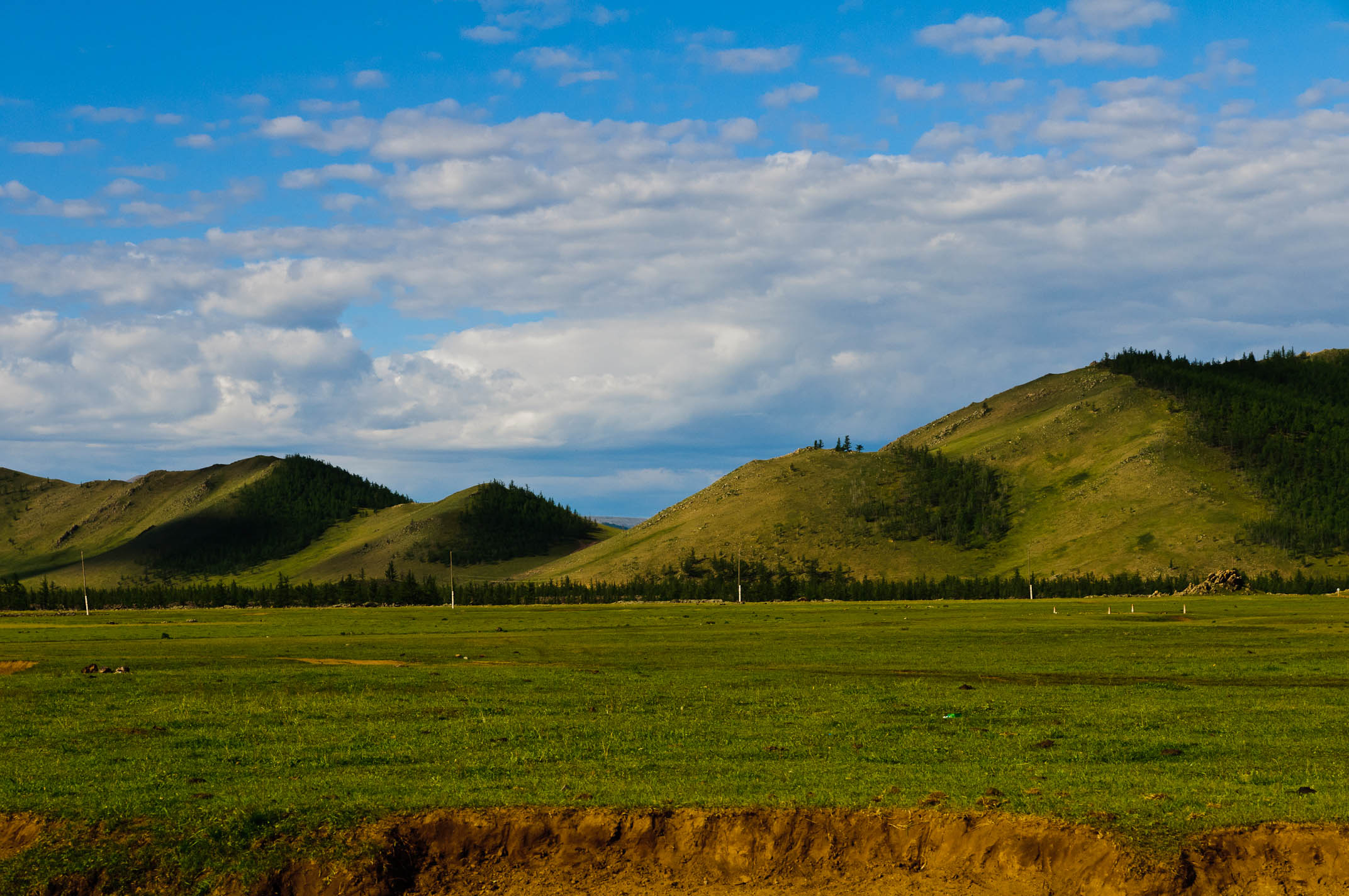
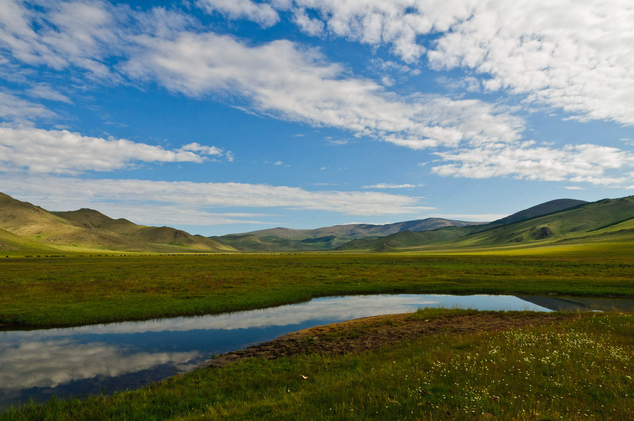
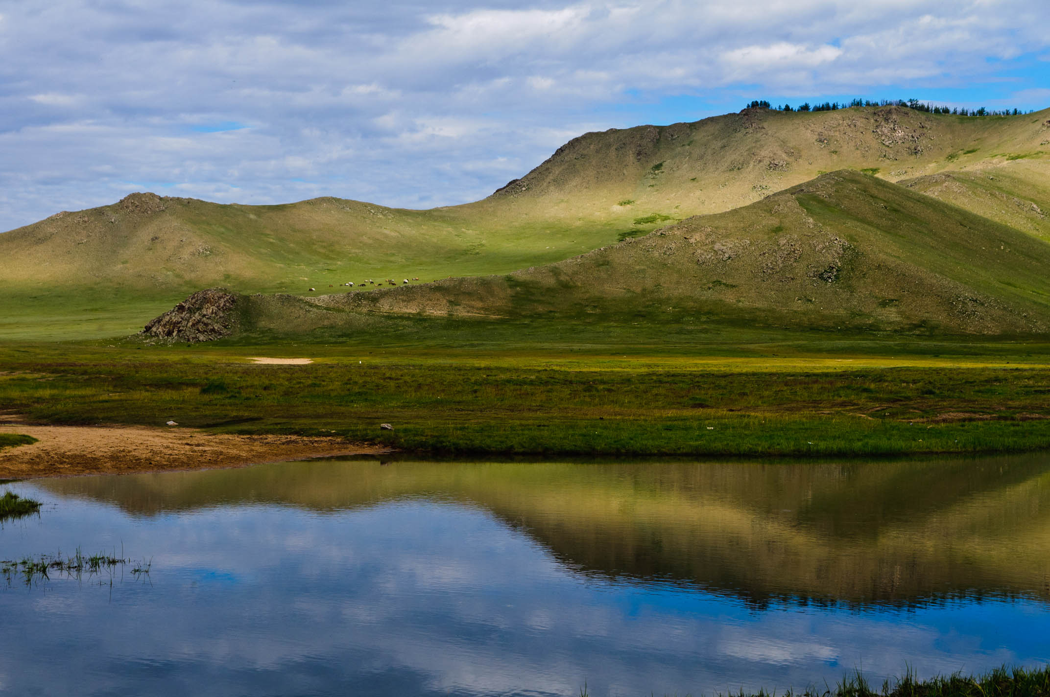
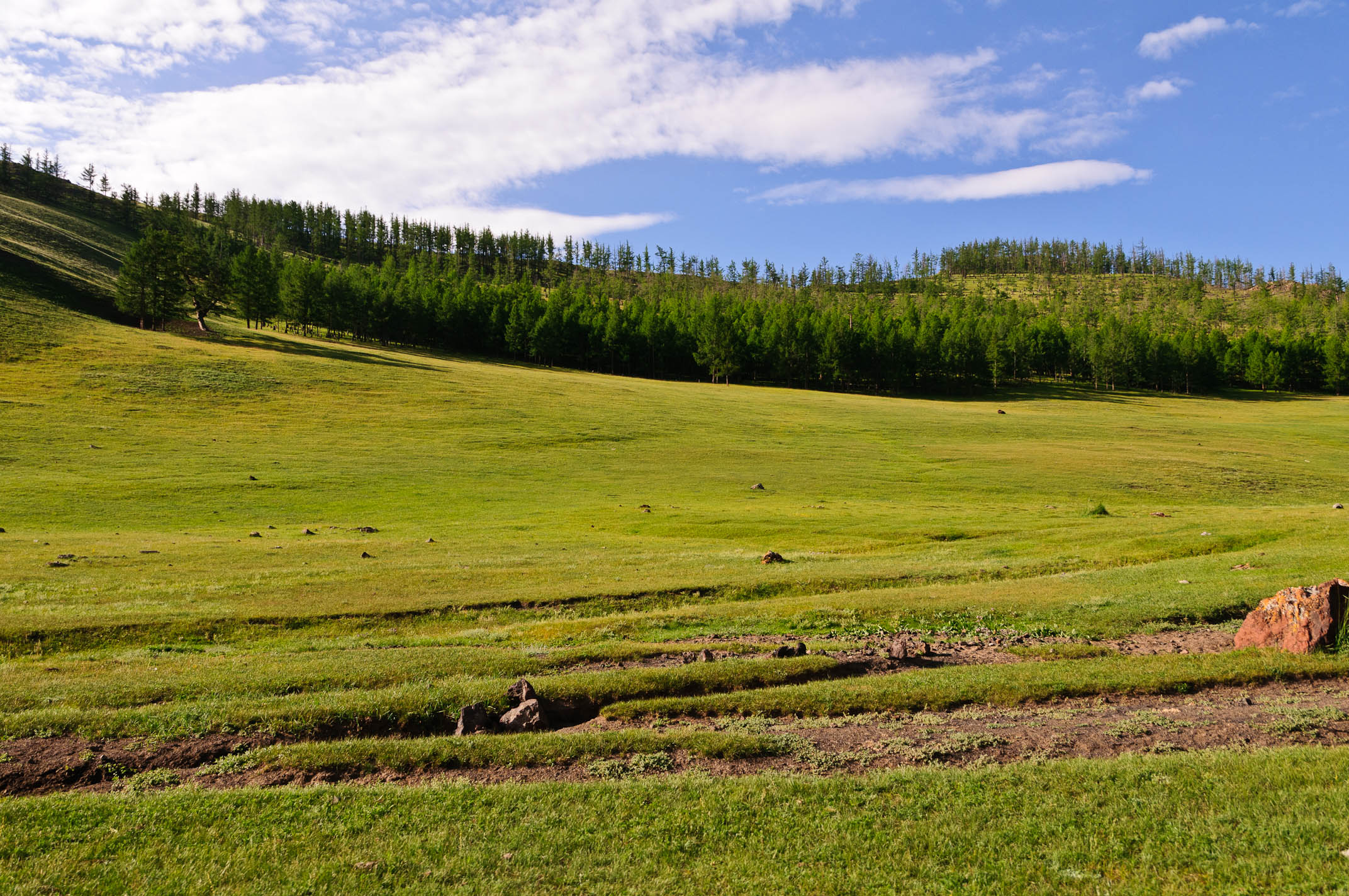
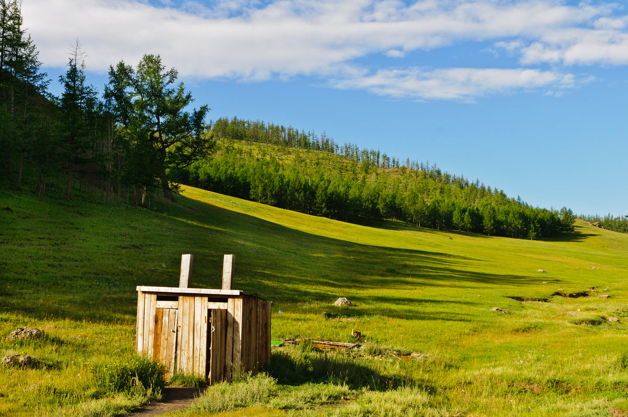
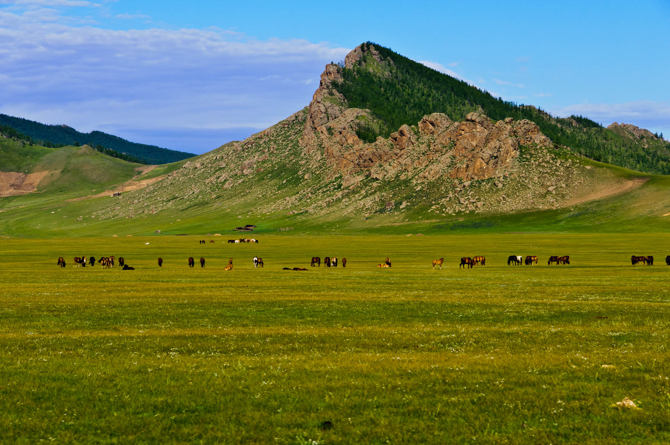
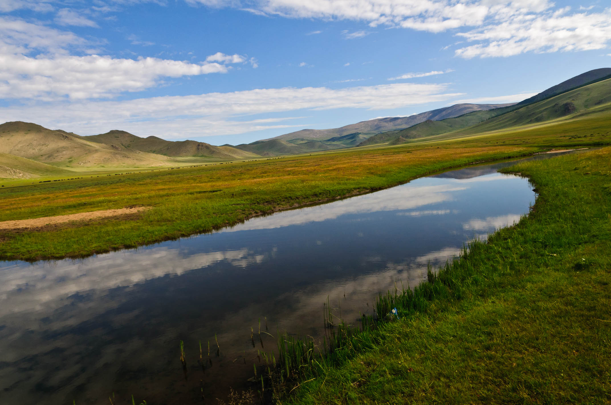
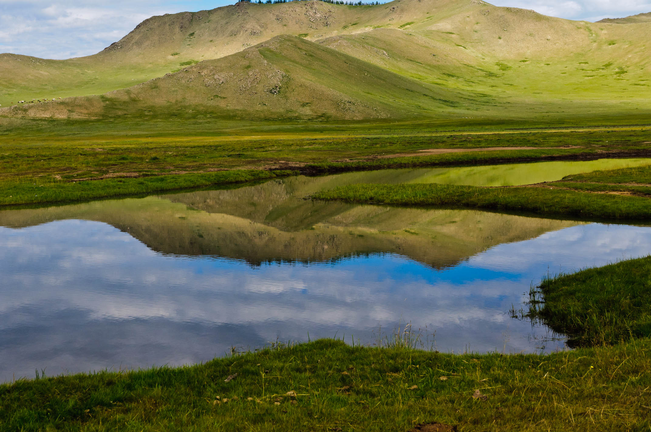
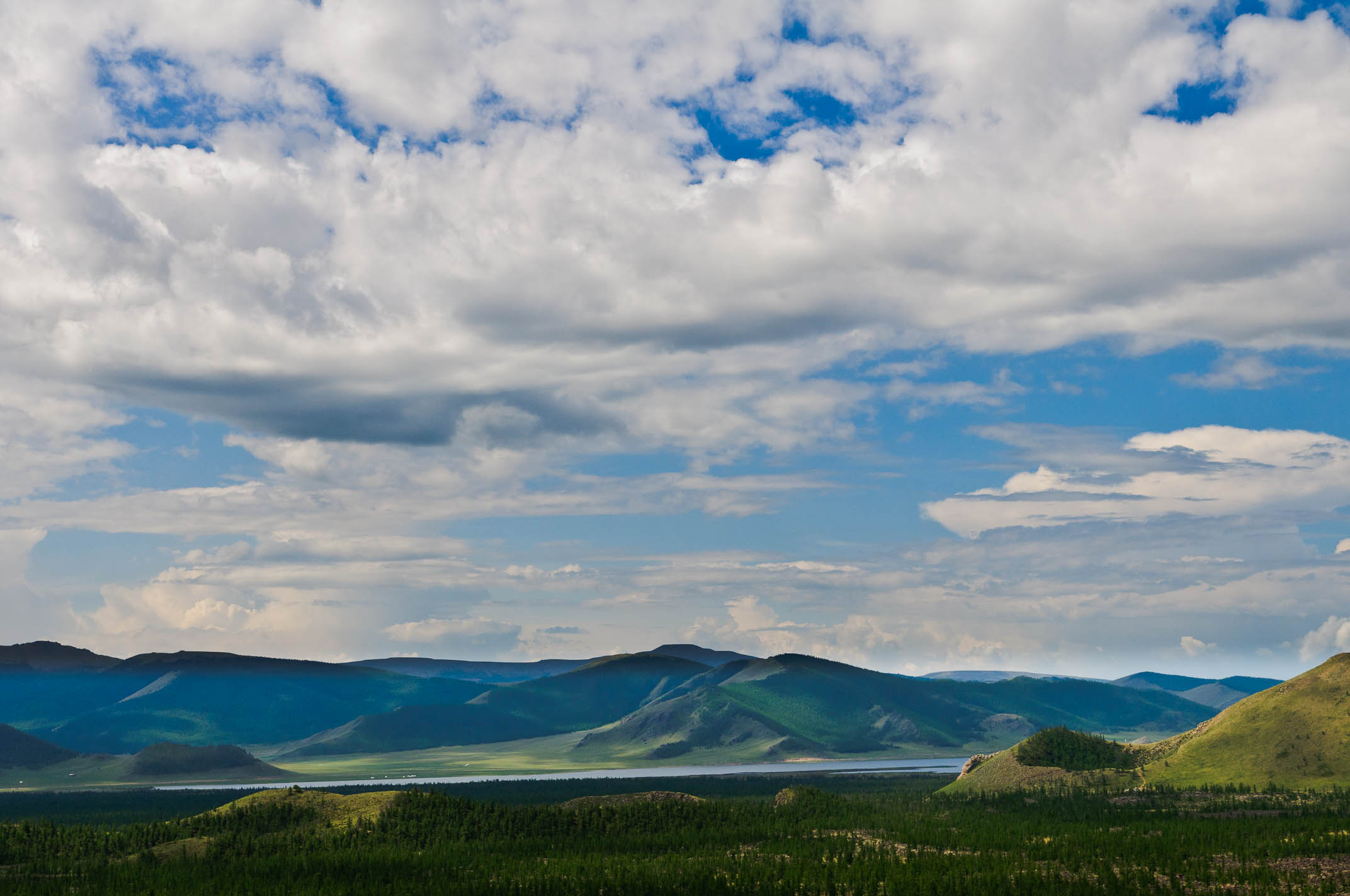
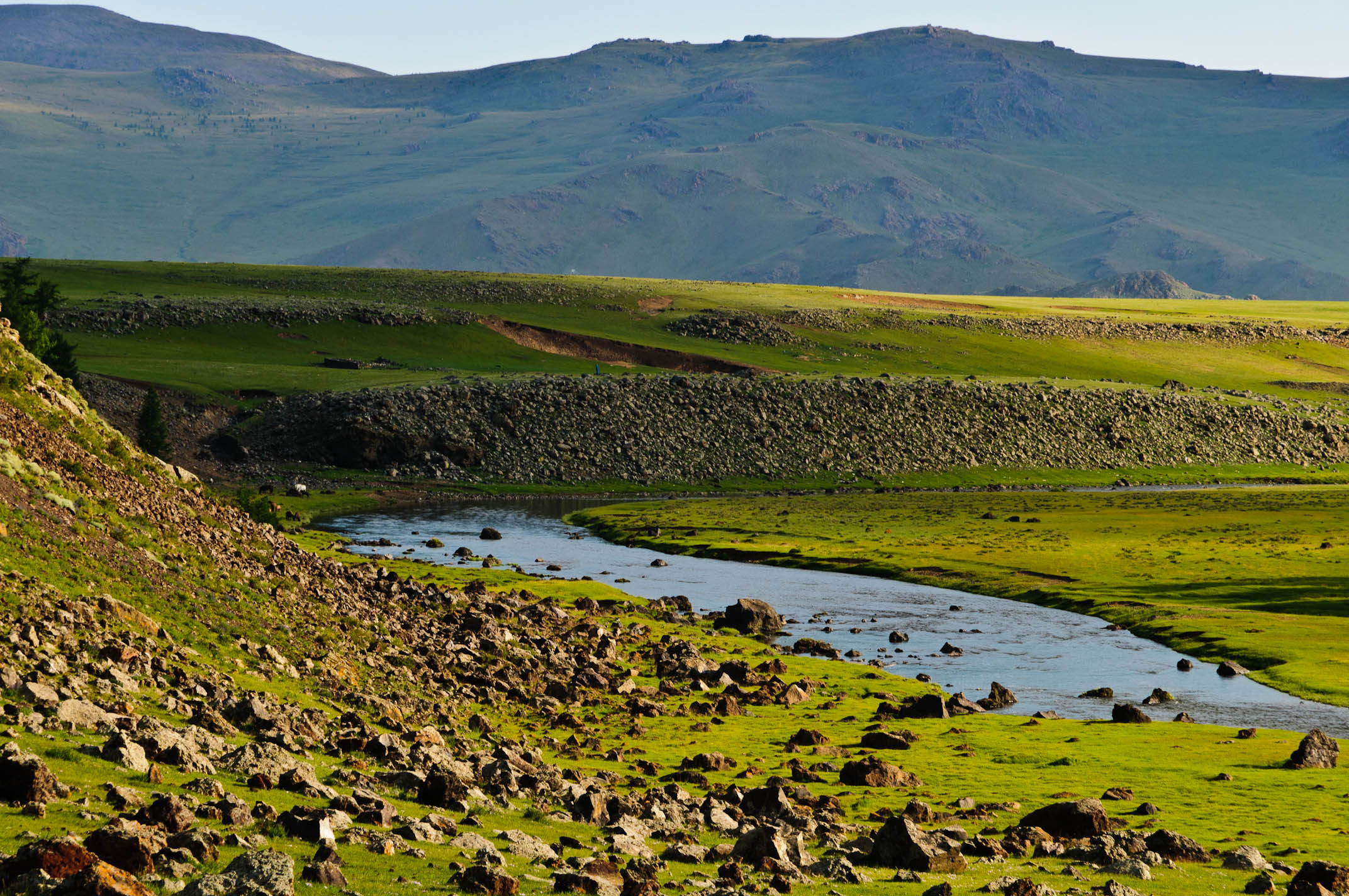
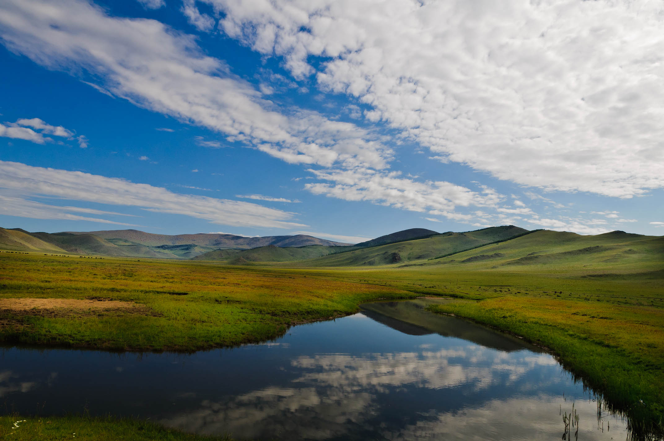
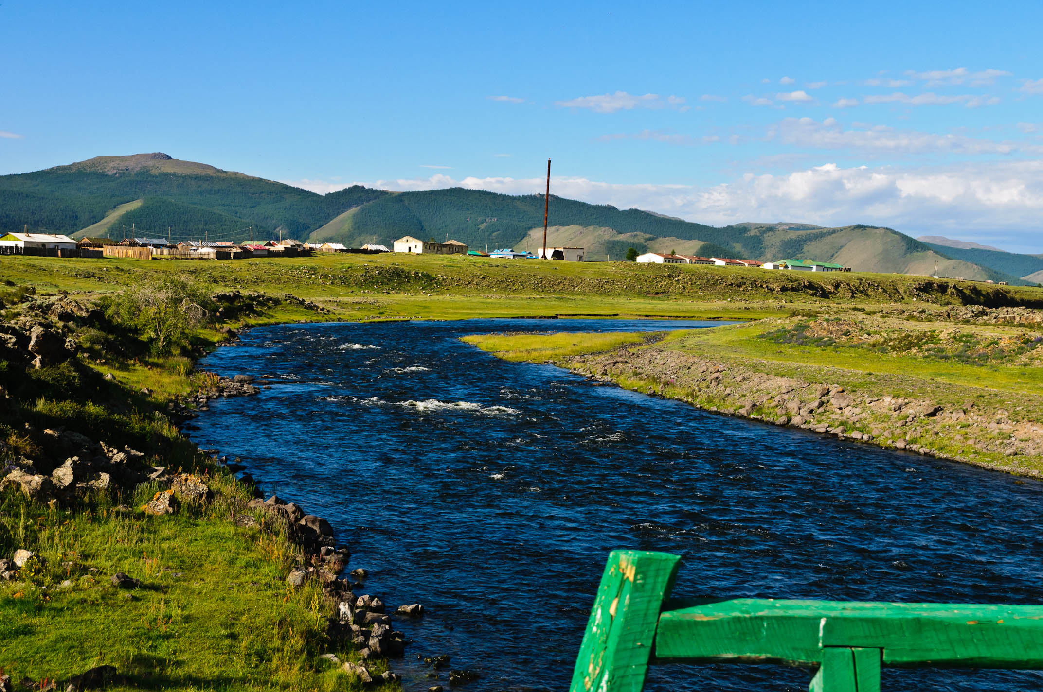
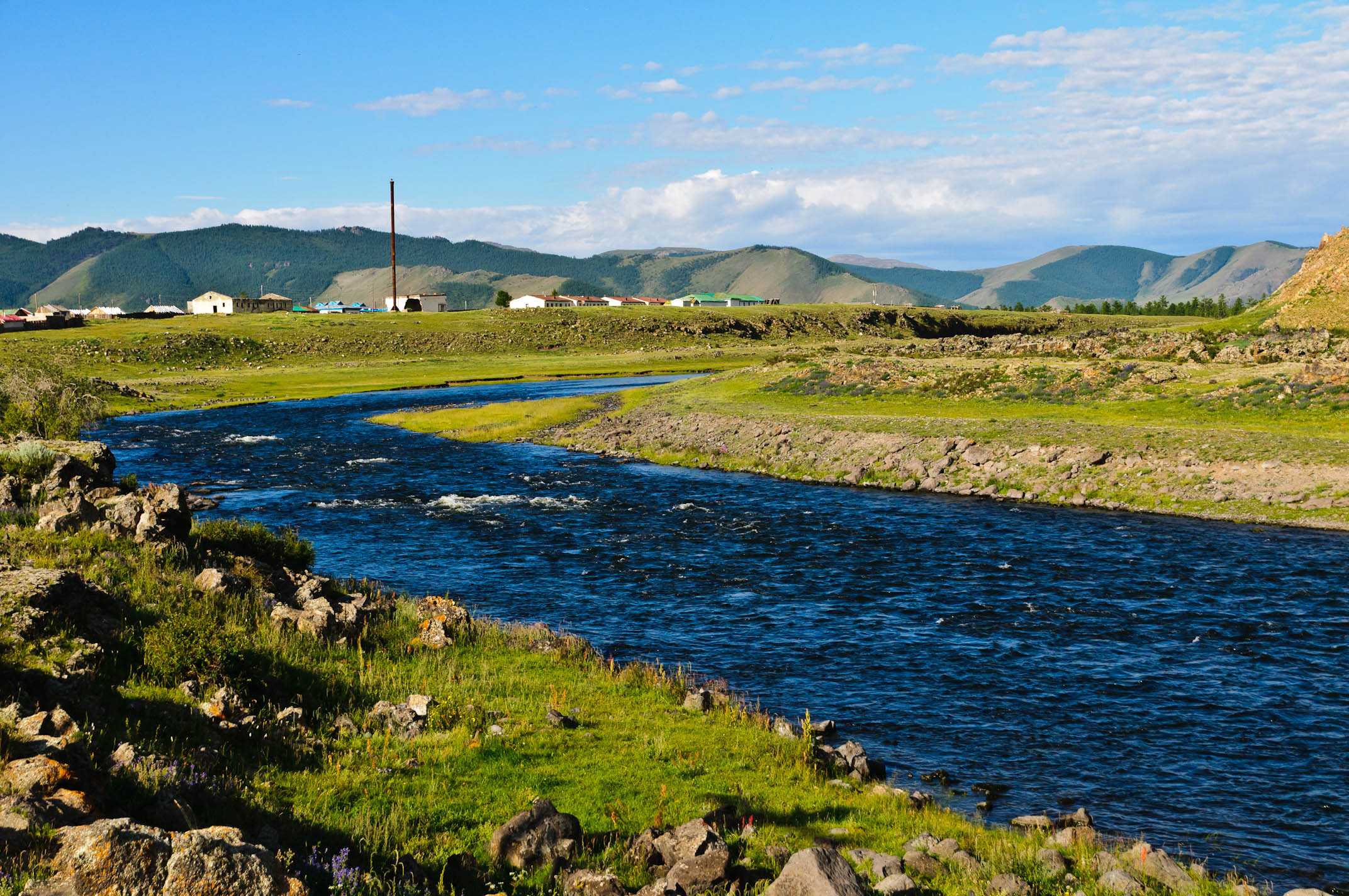
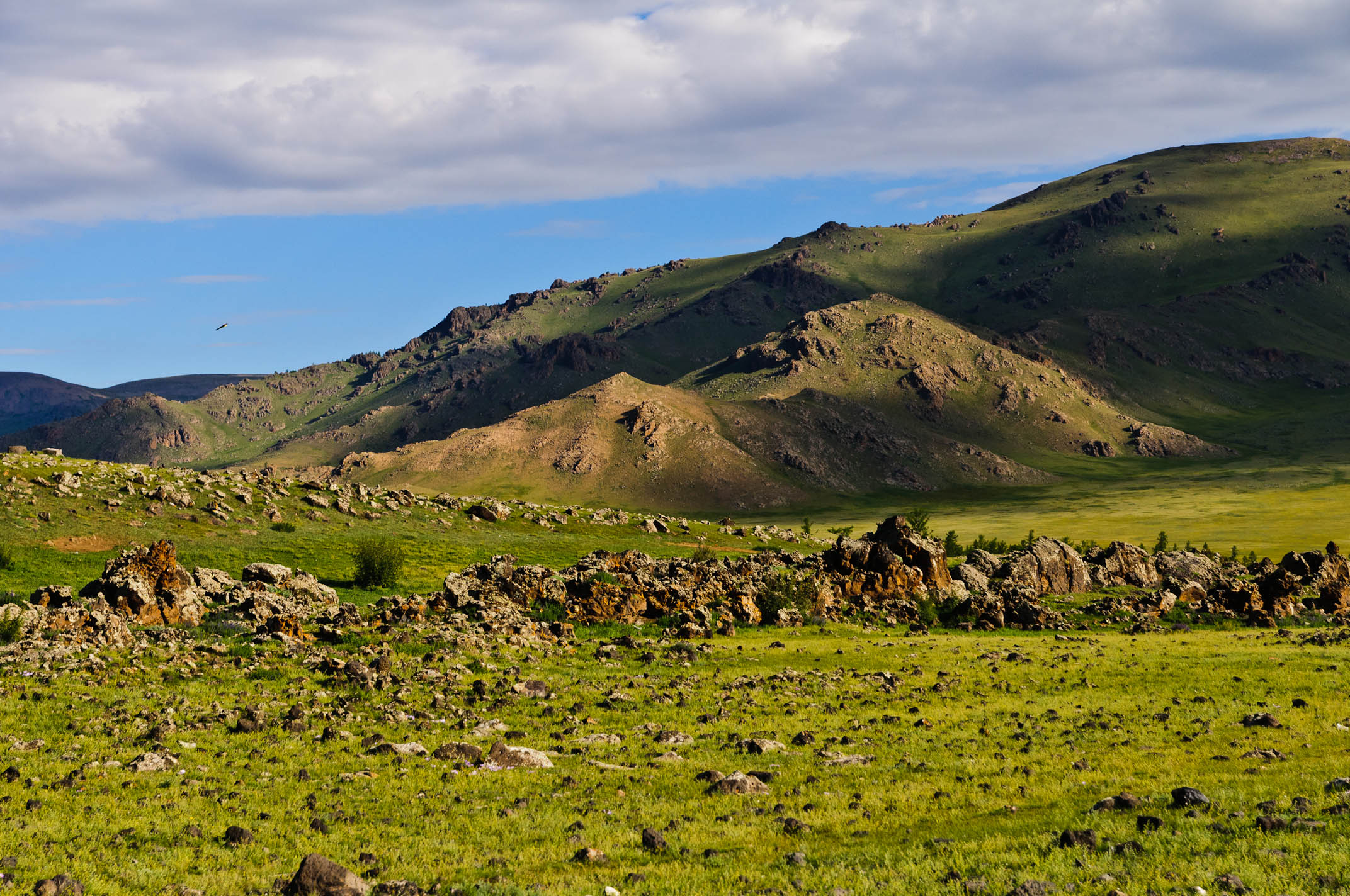
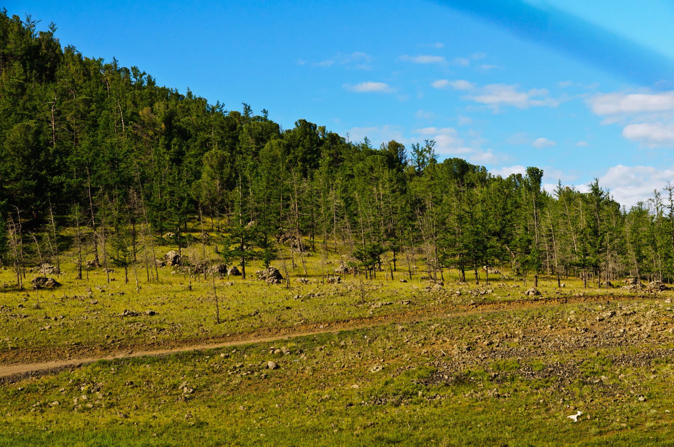
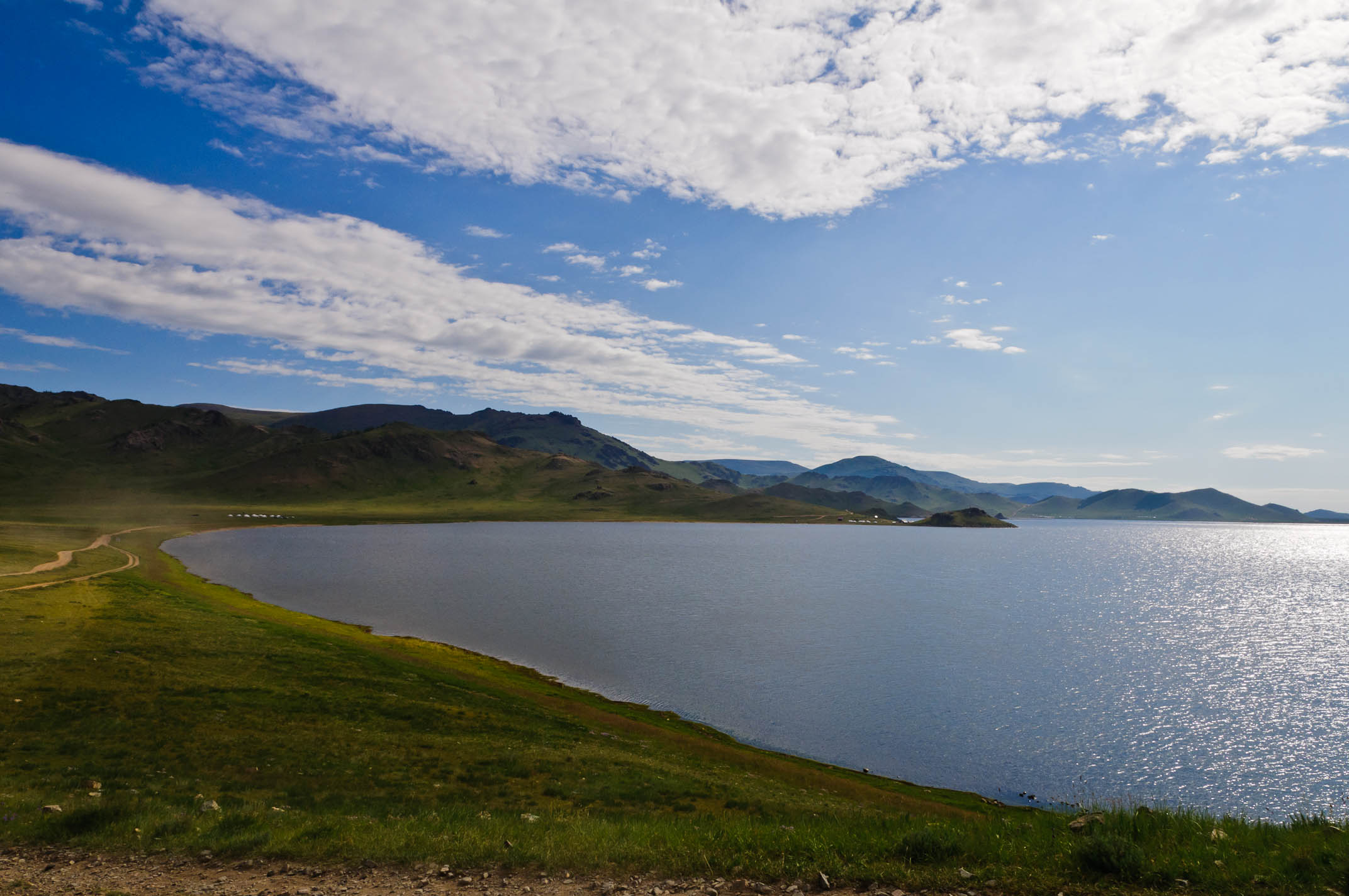
Related Photos:
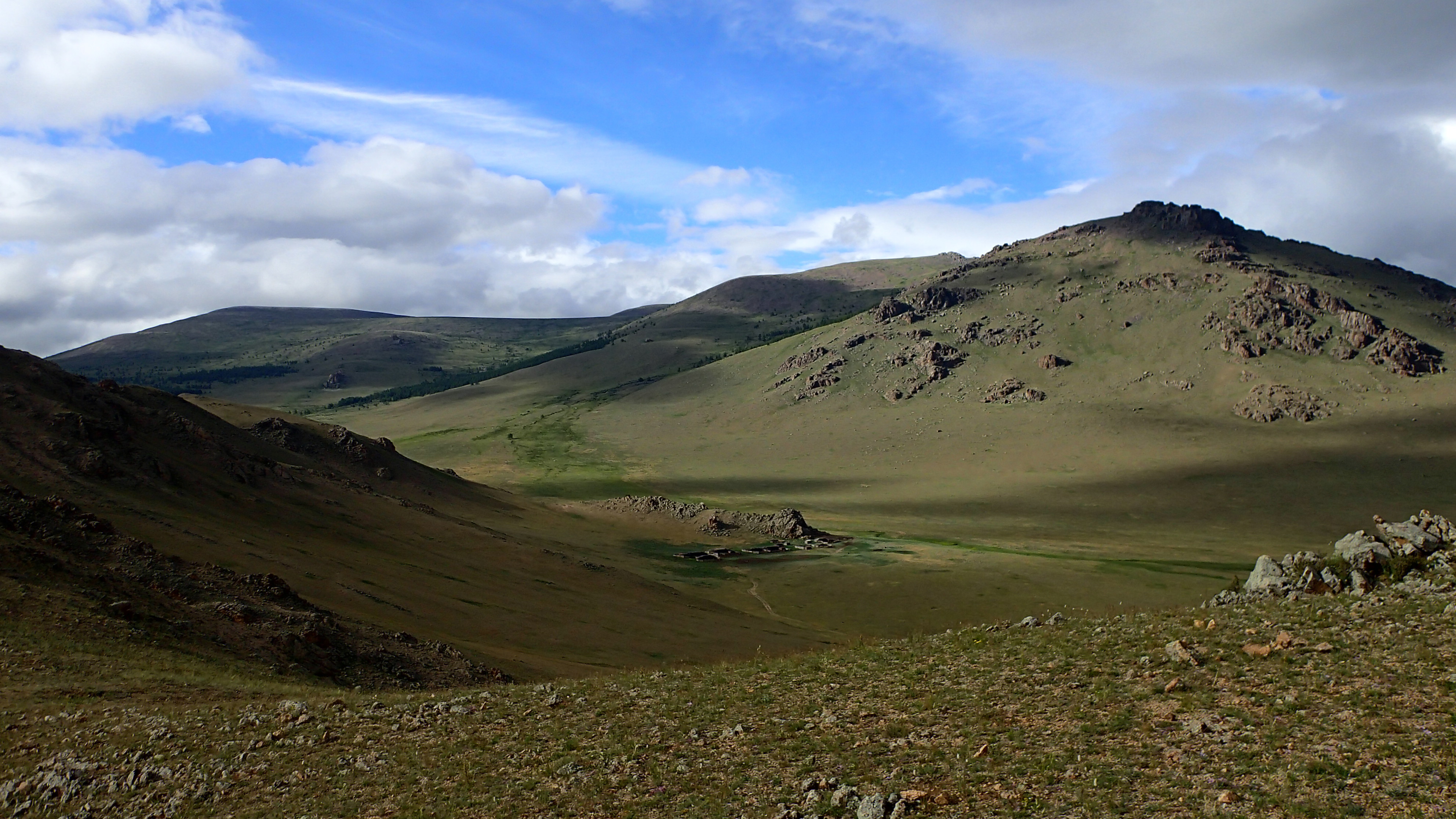
Panoramic View Tsagaan
Panoramic View Tsagaan
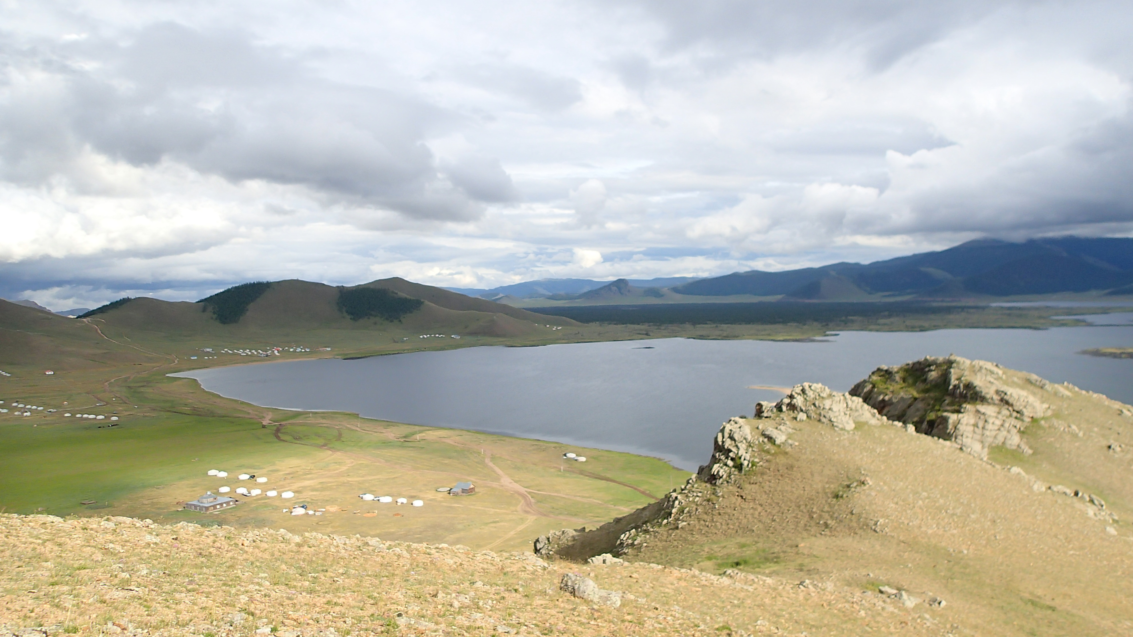
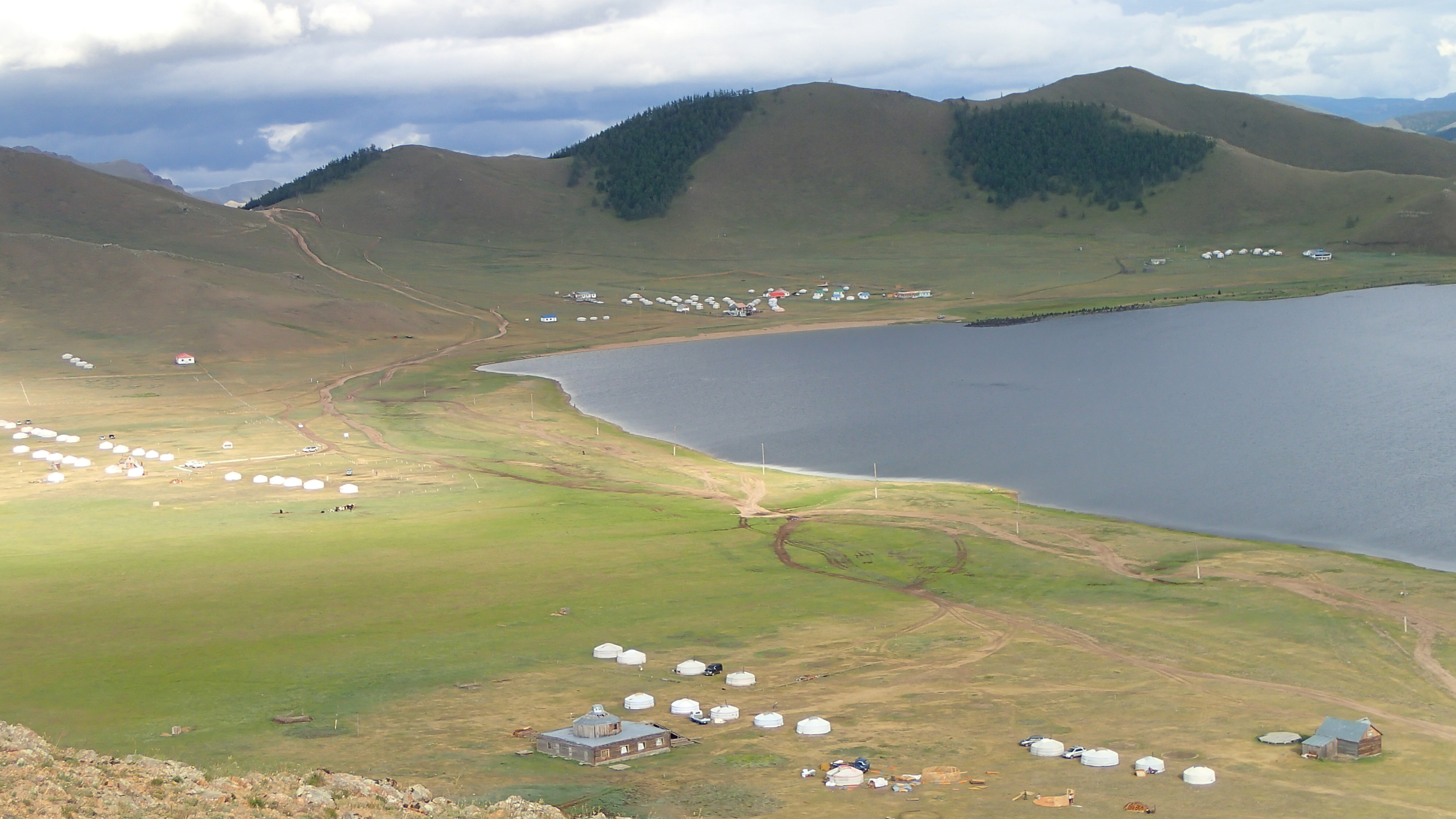
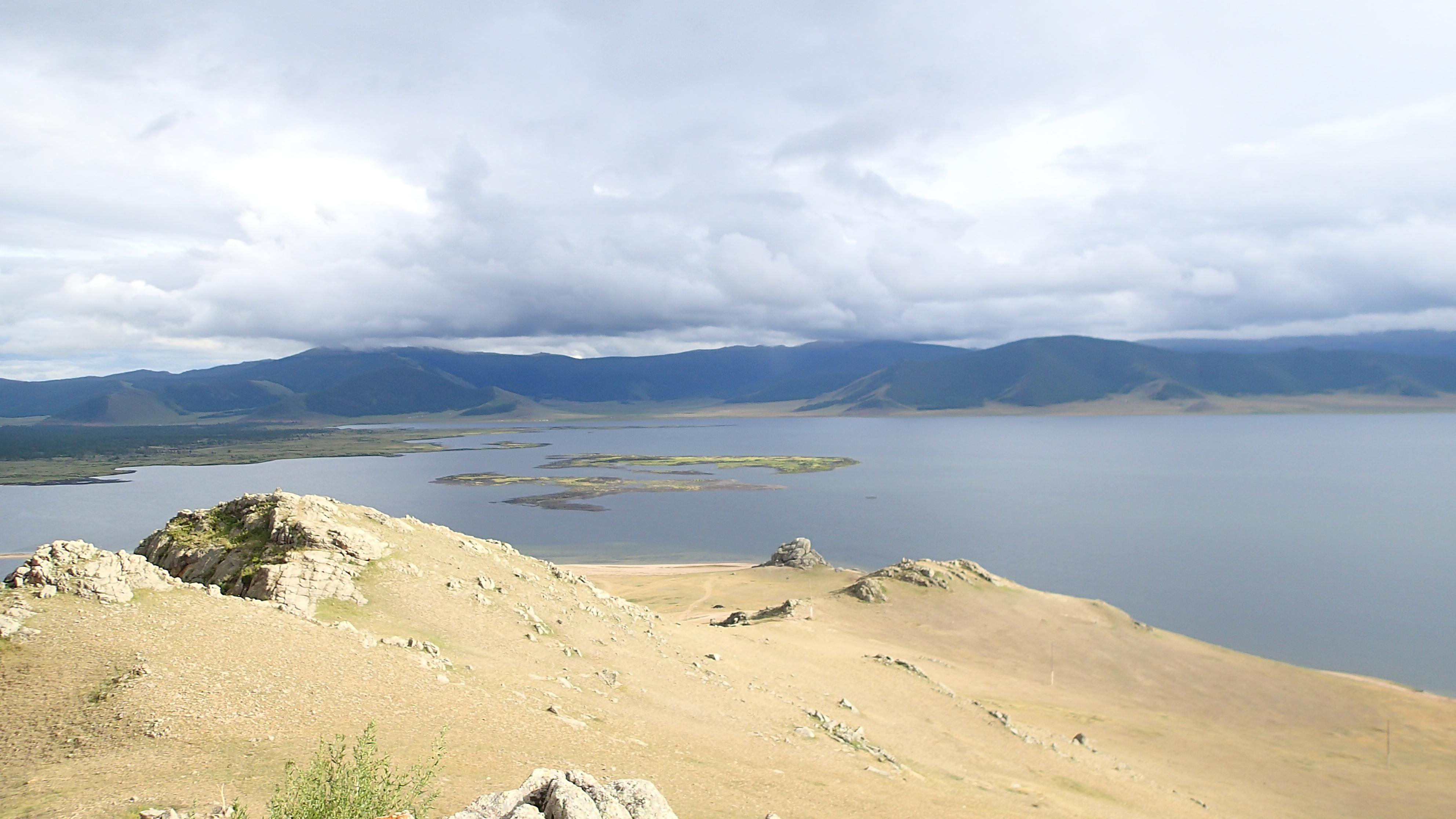
Beautiful Lake View
Panoramic View Tsagaan
Beautiful Volcano View
MNGL-3782-20110804.jpg
MNGL-3819-20110804.jpg
MNGL-3856-20110804.jpg
MNGL-3854-20110804.jpg
MNGL-3818-20110804.jpg
MNGL-3855-20110804.jpg
MNGL-3850-20110804.jpg
MNGL-3787-20110804.jpg
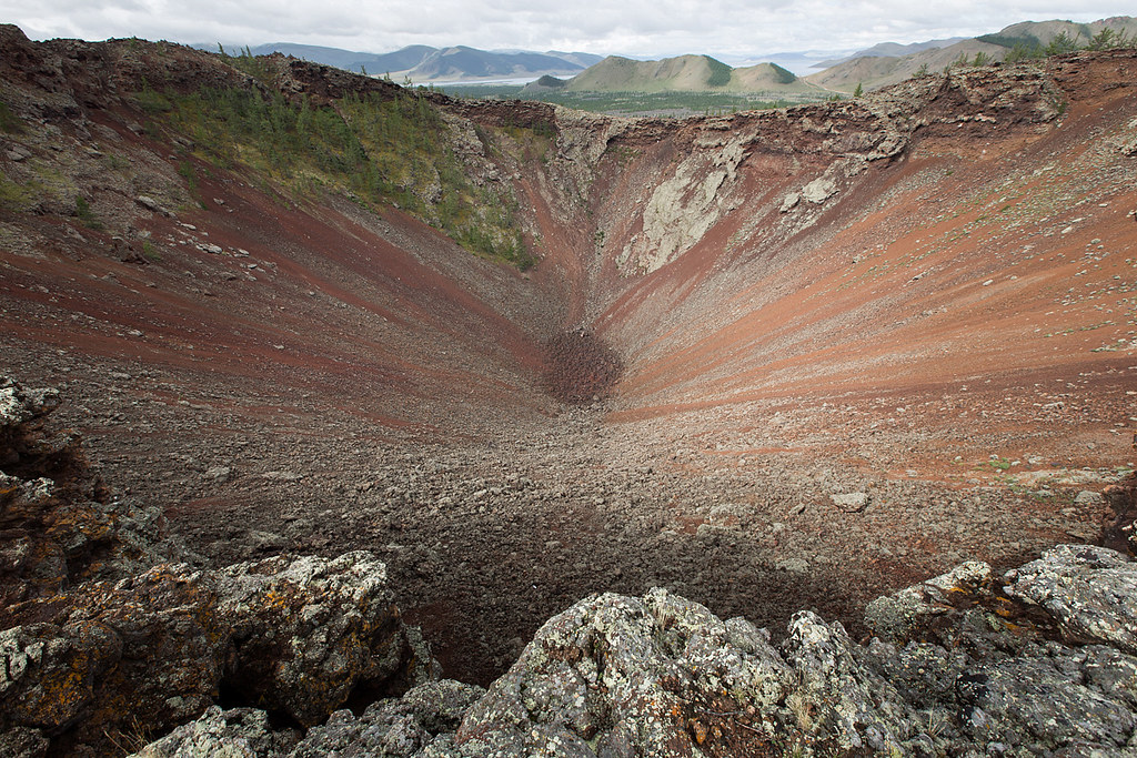
Vulcano - Korgo - Mongolia
MNGL-3780-20110804.jpg
MNGL-3794-20110804.jpg
MNGL-3858-20110804.jpg
MNGL-3851-20110804.jpg
MNGL-3594-20110803.jpg
MNGL-3778-20110804.jpg
MNGL-3857-20110804.jpg
MNGL-3809-20110804.jpg
MNGL-3807-20110804.jpg
MNGL-3813-20110804.jpg
MNGL-3817-20110804.jpg
MNGL-3845-20110804.jpg
Topographic Map of Tariat, Mongolia
Find elevation by address:

Places in Tariat, Mongolia:
Places near Tariat, Mongolia:
Recent Searches:
- Elevation of Corso Fratelli Cairoli, 35, Macerata MC, Italy
- Elevation of Tallevast Rd, Sarasota, FL, USA
- Elevation of 4th St E, Sonoma, CA, USA
- Elevation of Black Hollow Rd, Pennsdale, PA, USA
- Elevation of Oakland Ave, Williamsport, PA, USA
- Elevation of Pedrógão Grande, Portugal
- Elevation of Klee Dr, Martinsburg, WV, USA
- Elevation of Via Roma, Pieranica CR, Italy
- Elevation of Tavkvetili Mountain, Georgia
- Elevation of Hartfords Bluff Cir, Mt Pleasant, SC, USA