Elevation of Tarcutta NSW, Australia
Location: Australia > New South Wales >
Longitude: 147.716667
Latitude: -35.283333
Elevation: 280m / 919feet
Barometric Pressure: 98KPa
Elevation Map:
Satellite Map:
Related Photos:

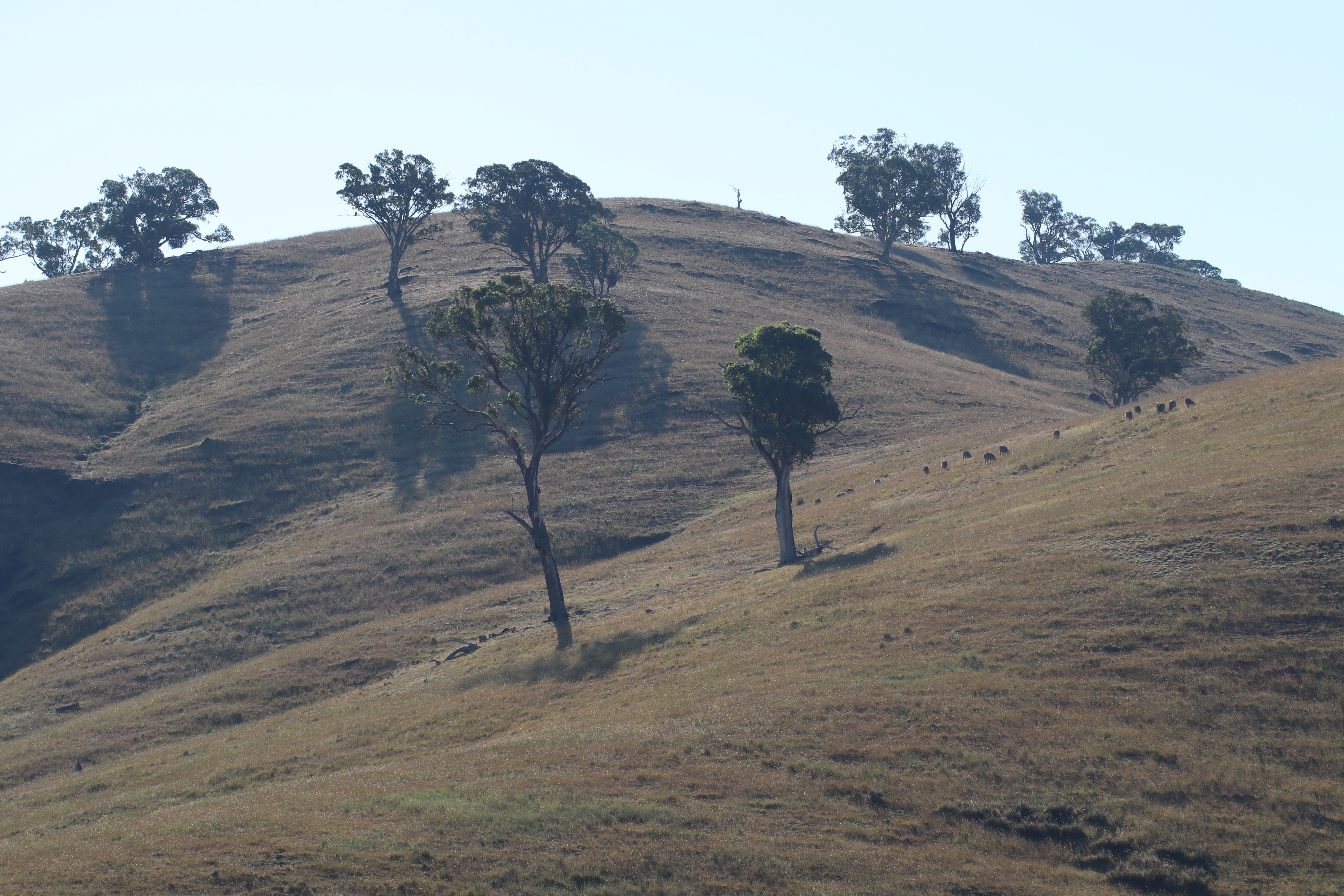
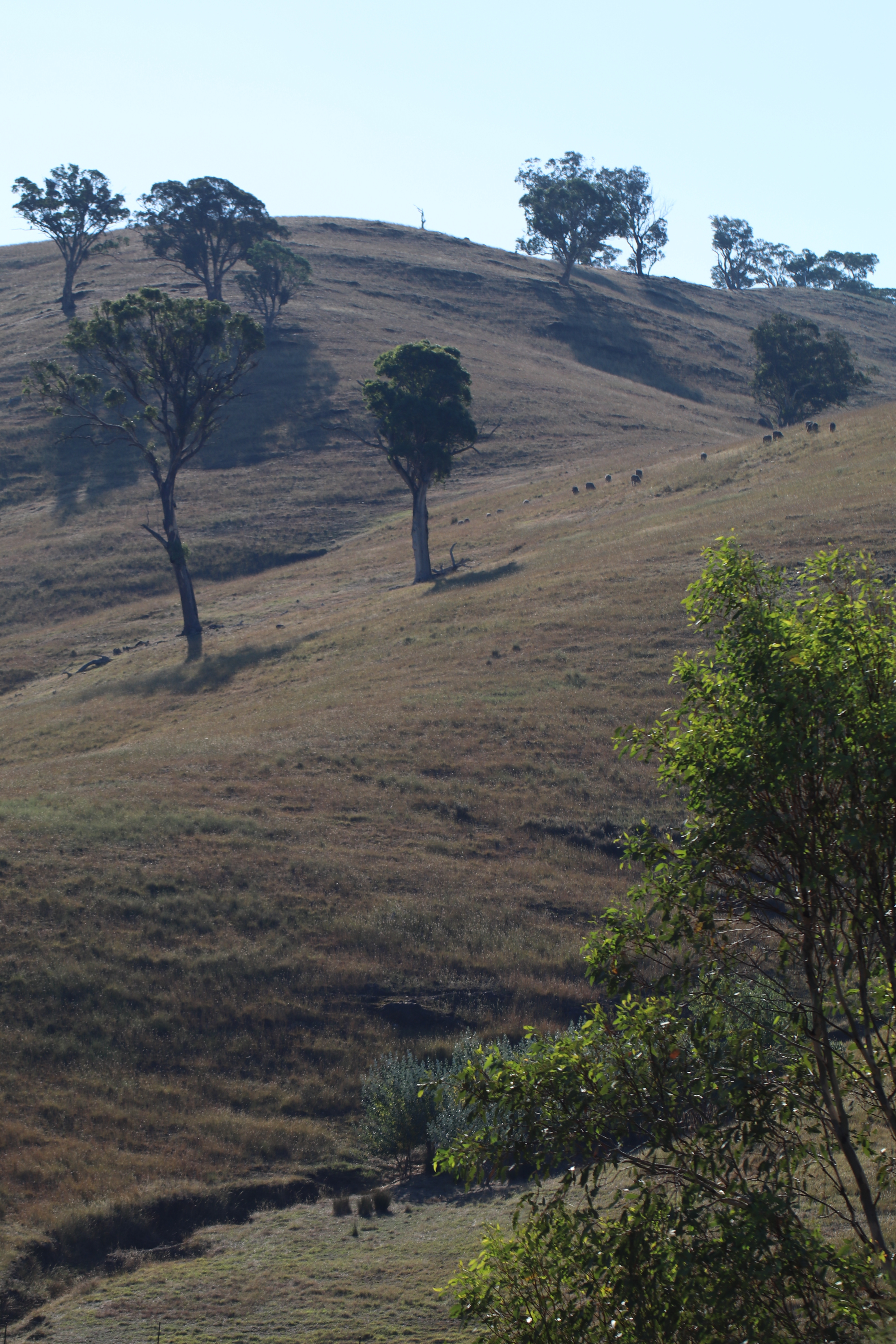
Farm After Harvest

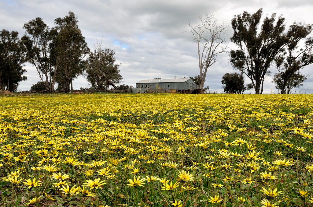
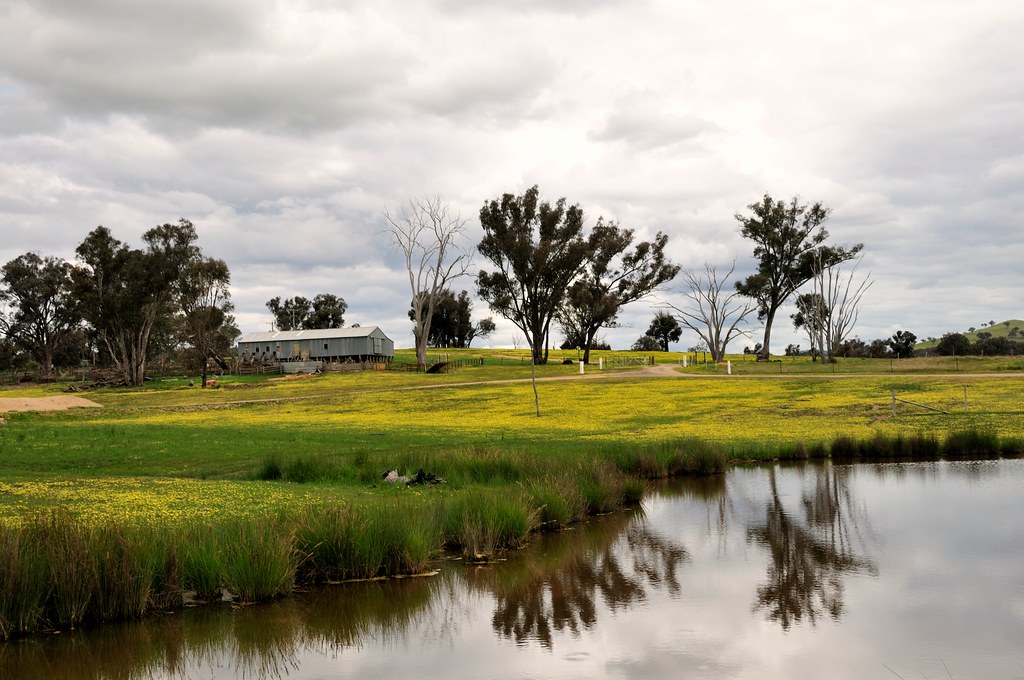
Canola Fields
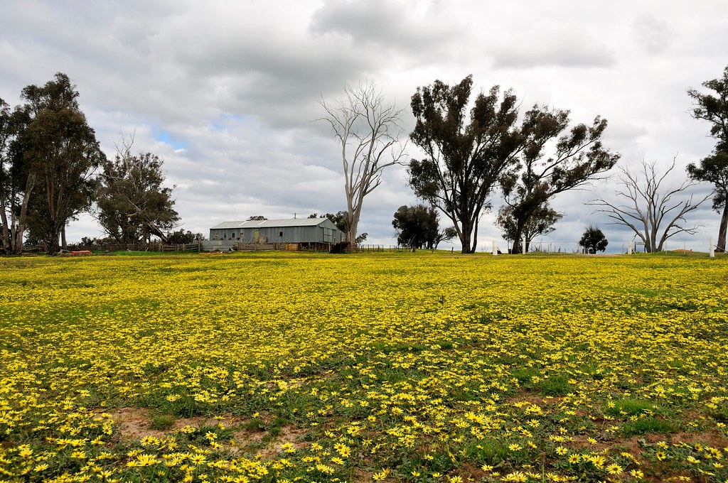
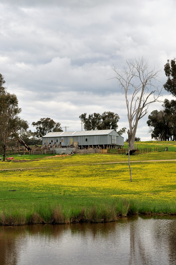
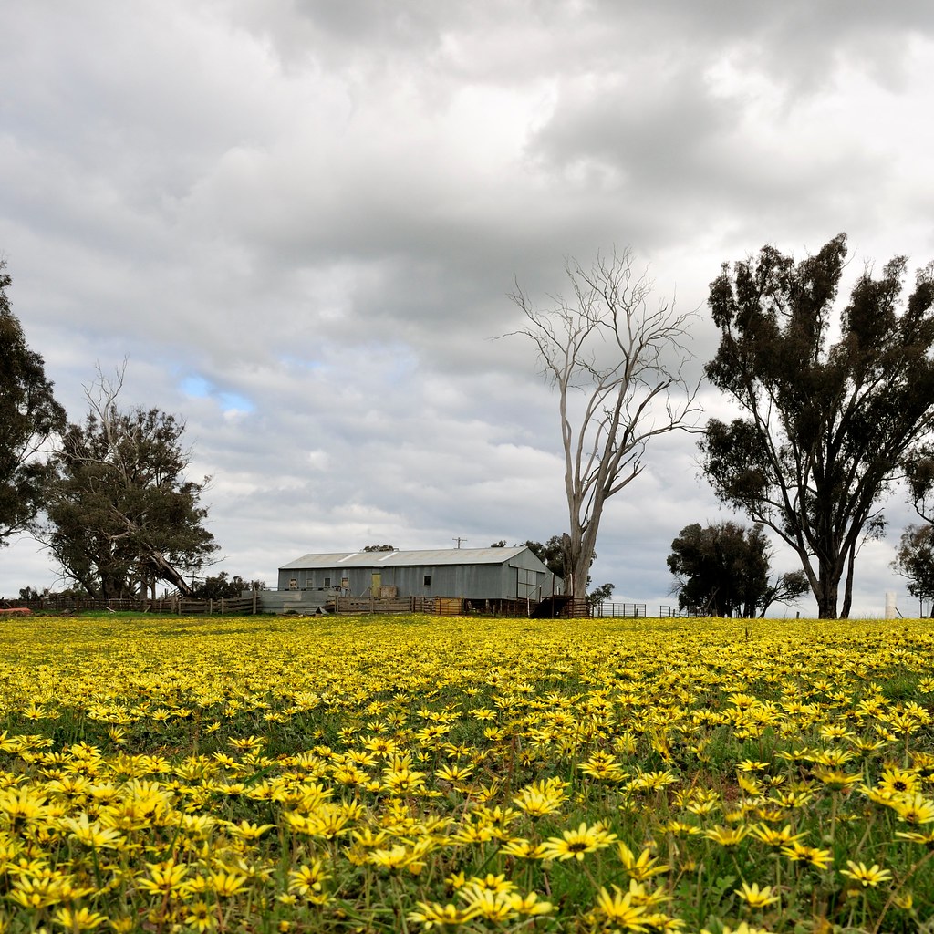
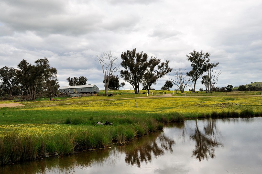
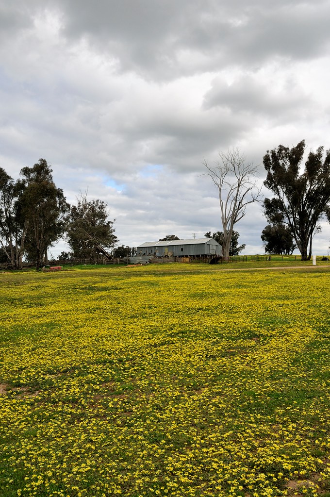
Capeweed nº 10
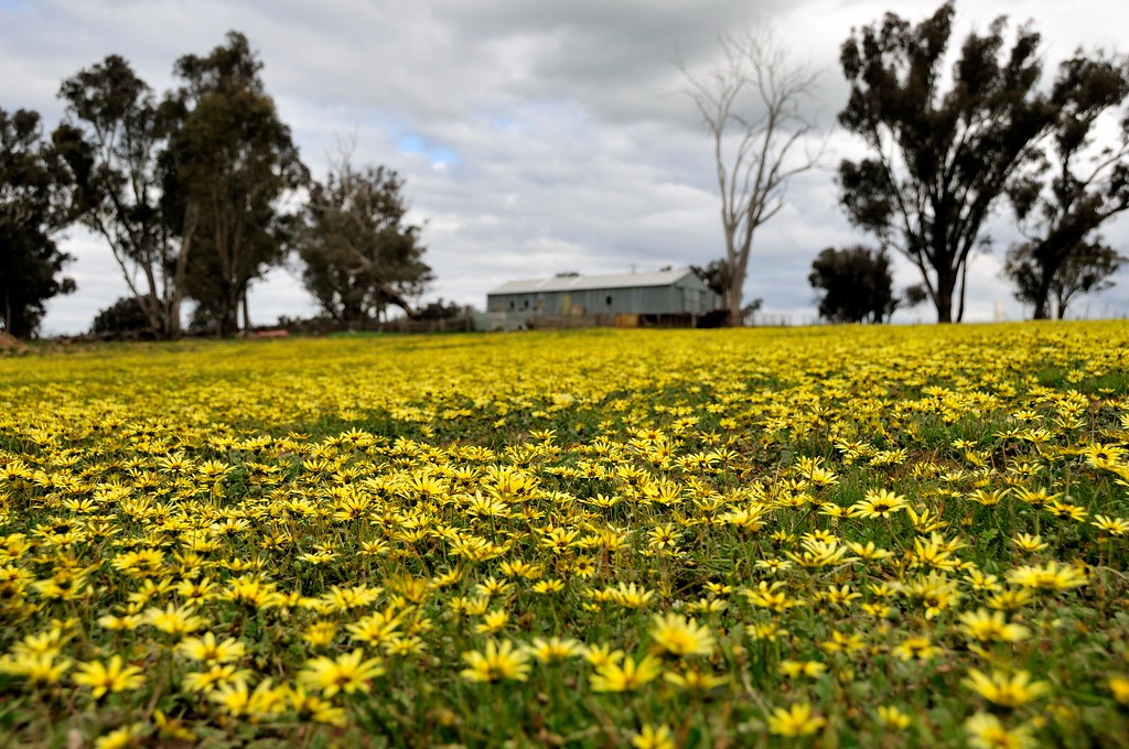
Capeweed nº 2
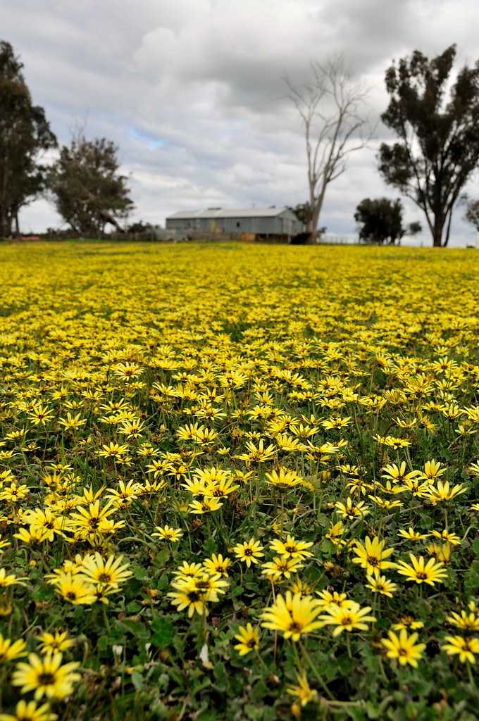
Capeweed nº 15
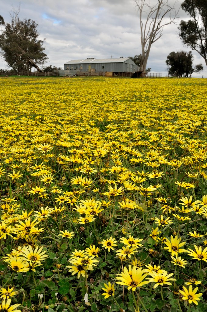
Capeweed nº 7
Capeweed nº 9

mount-adrah-2018b.jpg
Capeweed nº 14
Capeweed nº 21
Capeweed nº 17
mount-adrah-2018f.jpg
mount-adrah-2018e.jpg

mount-adrah-2018.jpg
Capeweed nº 13
Capeweed nº 6
Topographic Map of Tarcutta NSW, Australia
Find elevation by address:

Places near Tarcutta NSW, Australia:
52 Howick St
176 Capper St
Tumut
The Junction - Tumut And Goobagandra - Lions Club
Snowy Valleys Council
Maragle
Cabramurra
Selwyn Snow Resort
Kiandra
Khancoban
308 Brindabella Valley Rd
Brindabella Valley Road
Bimberi Peak
Mount Townsend
421 Discovery Dr
Adaminaby
Mt Selwyn & Lake Eucumbene Lodge
Blue Cow (blue Cow Mountain)
Mount Kosciuszko
Seaman's Hut
Recent Searches:
- Elevation of Corso Fratelli Cairoli, 35, Macerata MC, Italy
- Elevation of Tallevast Rd, Sarasota, FL, USA
- Elevation of 4th St E, Sonoma, CA, USA
- Elevation of Black Hollow Rd, Pennsdale, PA, USA
- Elevation of Oakland Ave, Williamsport, PA, USA
- Elevation of Pedrógão Grande, Portugal
- Elevation of Klee Dr, Martinsburg, WV, USA
- Elevation of Via Roma, Pieranica CR, Italy
- Elevation of Tavkvetili Mountain, Georgia
- Elevation of Hartfords Bluff Cir, Mt Pleasant, SC, USA