Elevation of Bimberi Peak, Australia
Location: Australia > Australian Capital Territory >
Longitude: 148.79
Latitude: -35.659166
Elevation: 1900m / 6234feet
Barometric Pressure: 80KPa
Elevation Map:
Satellite Map:
Related Photos:
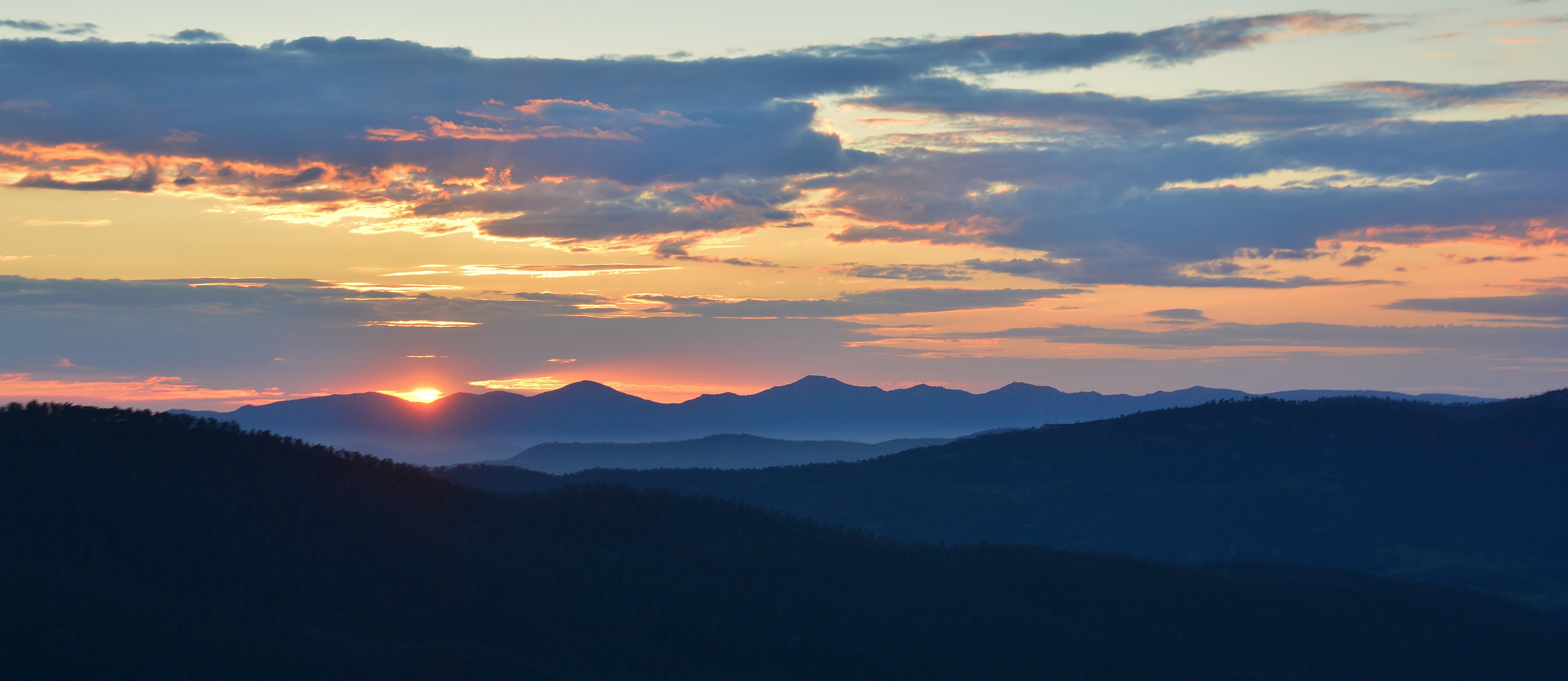
Sunrise over The Tinderries

Sunrise over Orroral Valley
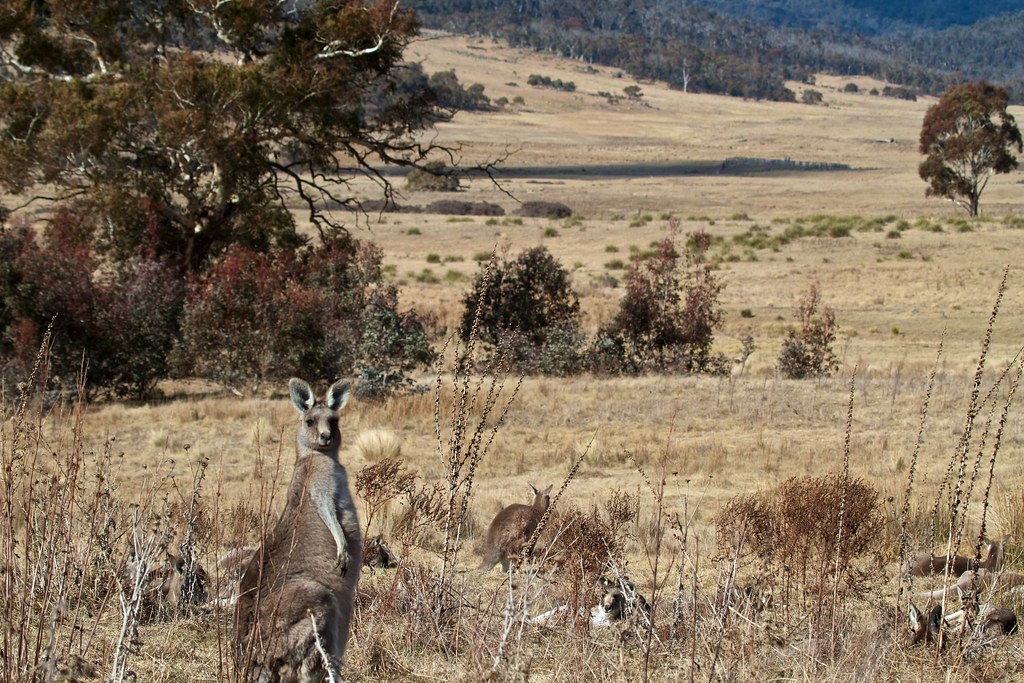
Valley view
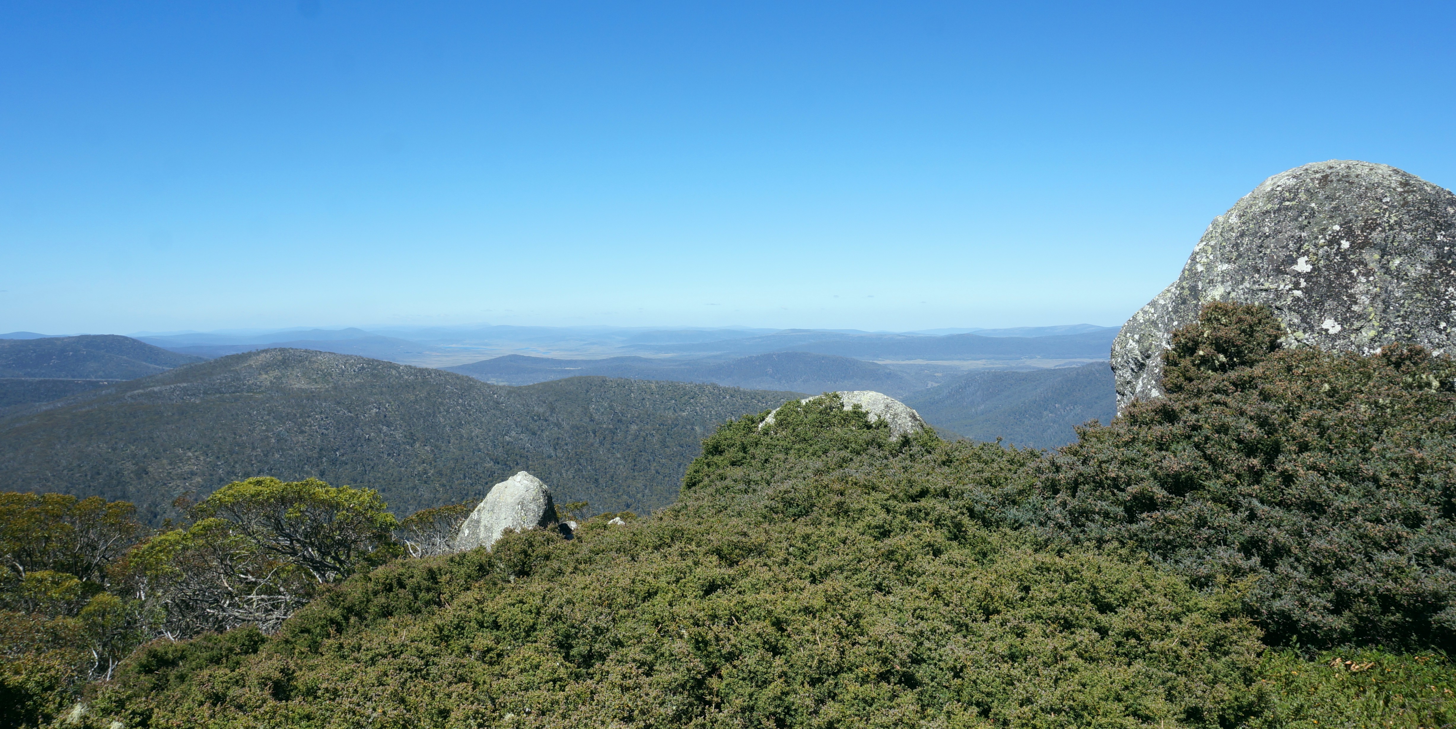
Mt Gingera View

Orroral Timelapse
Topographic Map of Bimberi Peak, Australia
Find elevation by address:

Places near Bimberi Peak, Australia:
308 Brindabella Valley Rd
Brindabella Valley Road
Australian Capital Territory
Paddys River
421 Discovery Dr
Mt Selwyn & Lake Eucumbene Lodge
Adaminaby
Kiandra
Selwyn Snow Resort
Cabramurra
Snowy Valleys Council
The Junction - Tumut And Goobagandra - Lions Club
Tumut
Maragle
176 Capper St
52 Howick St
Snowy River Shire Council
Berridale
Jindabyne
Pipers Creek
Recent Searches:
- Elevation of Corso Fratelli Cairoli, 35, Macerata MC, Italy
- Elevation of Tallevast Rd, Sarasota, FL, USA
- Elevation of 4th St E, Sonoma, CA, USA
- Elevation of Black Hollow Rd, Pennsdale, PA, USA
- Elevation of Oakland Ave, Williamsport, PA, USA
- Elevation of Pedrógão Grande, Portugal
- Elevation of Klee Dr, Martinsburg, WV, USA
- Elevation of Via Roma, Pieranica CR, Italy
- Elevation of Tavkvetili Mountain, Georgia
- Elevation of Hartfords Bluff Cir, Mt Pleasant, SC, USA