Elevation of Taramati Peak, Maharashtra
Location: India > Maharashtra > Ahmednagar >
Longitude: 73.779172
Latitude: 19.3868496
Elevation: 1315m / 4314feet
Barometric Pressure: 86KPa
Elevation Map:
Satellite Map:
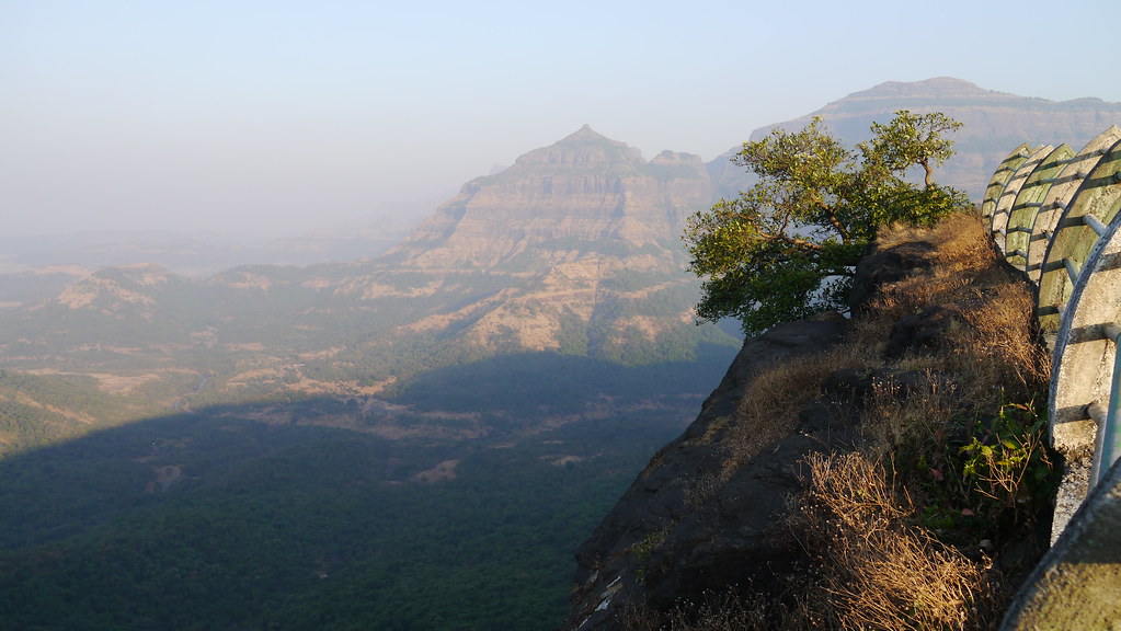
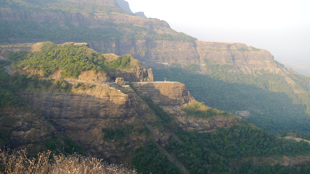
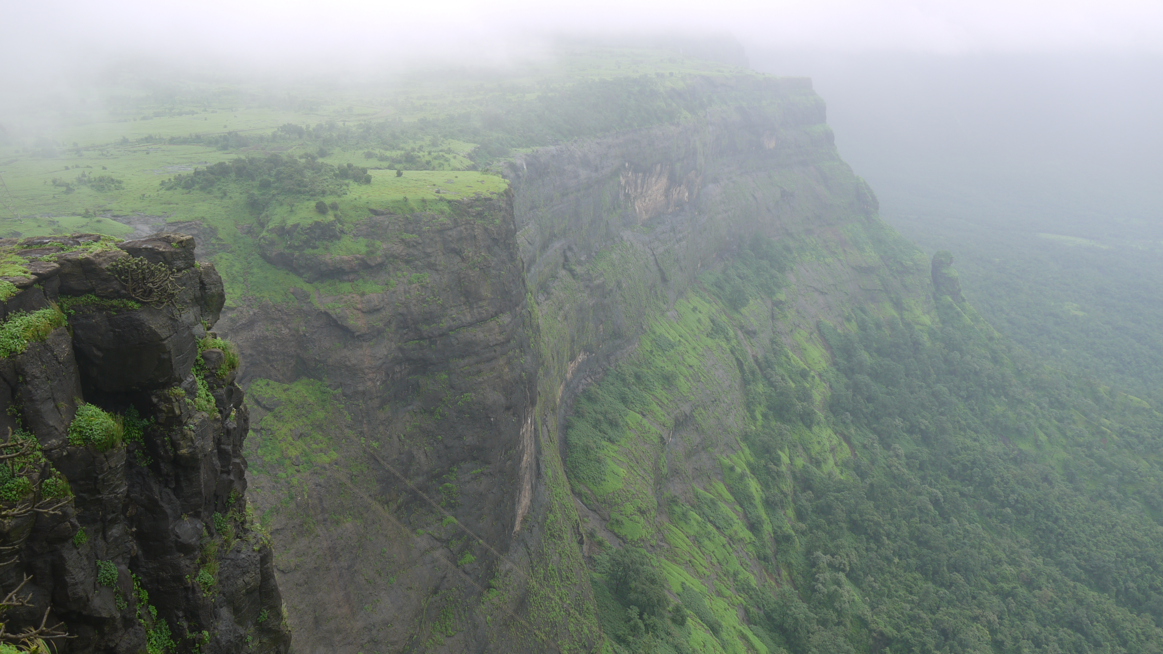
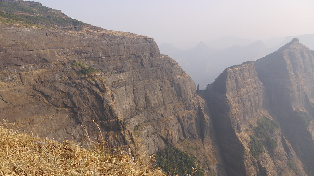
Related Photos:
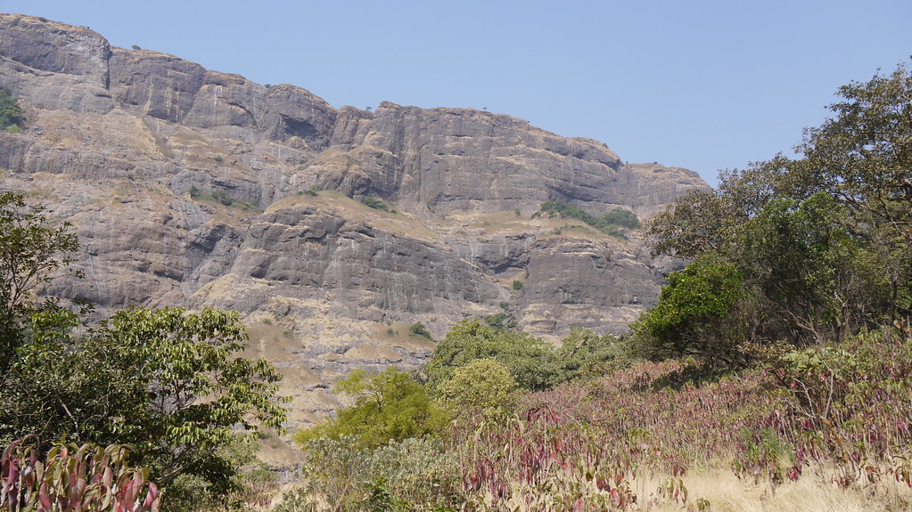
... view from MTDC Malshej
... viewing the Malshej Ghat
... view from Naneghat top

Kalsubai viewed from Ratanwadi
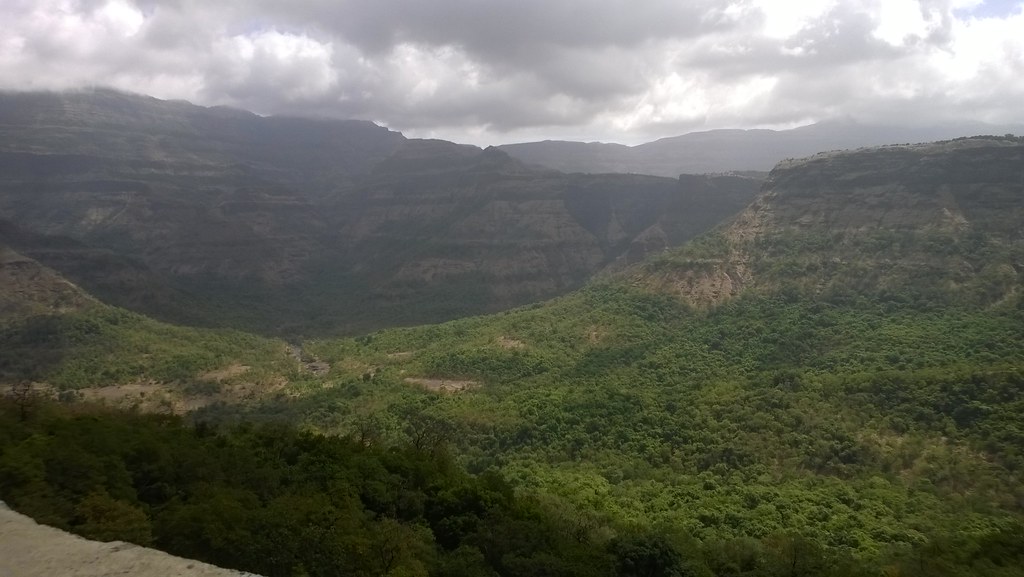
... view from Kokan-kada
... viewing south from Ratangad
... viewing south from Ratangad
... viewing from trail near Tolar Khind
... viewing top of Ratangad

... viewing north from Ratangad

... viewing n-w from Khireshwar
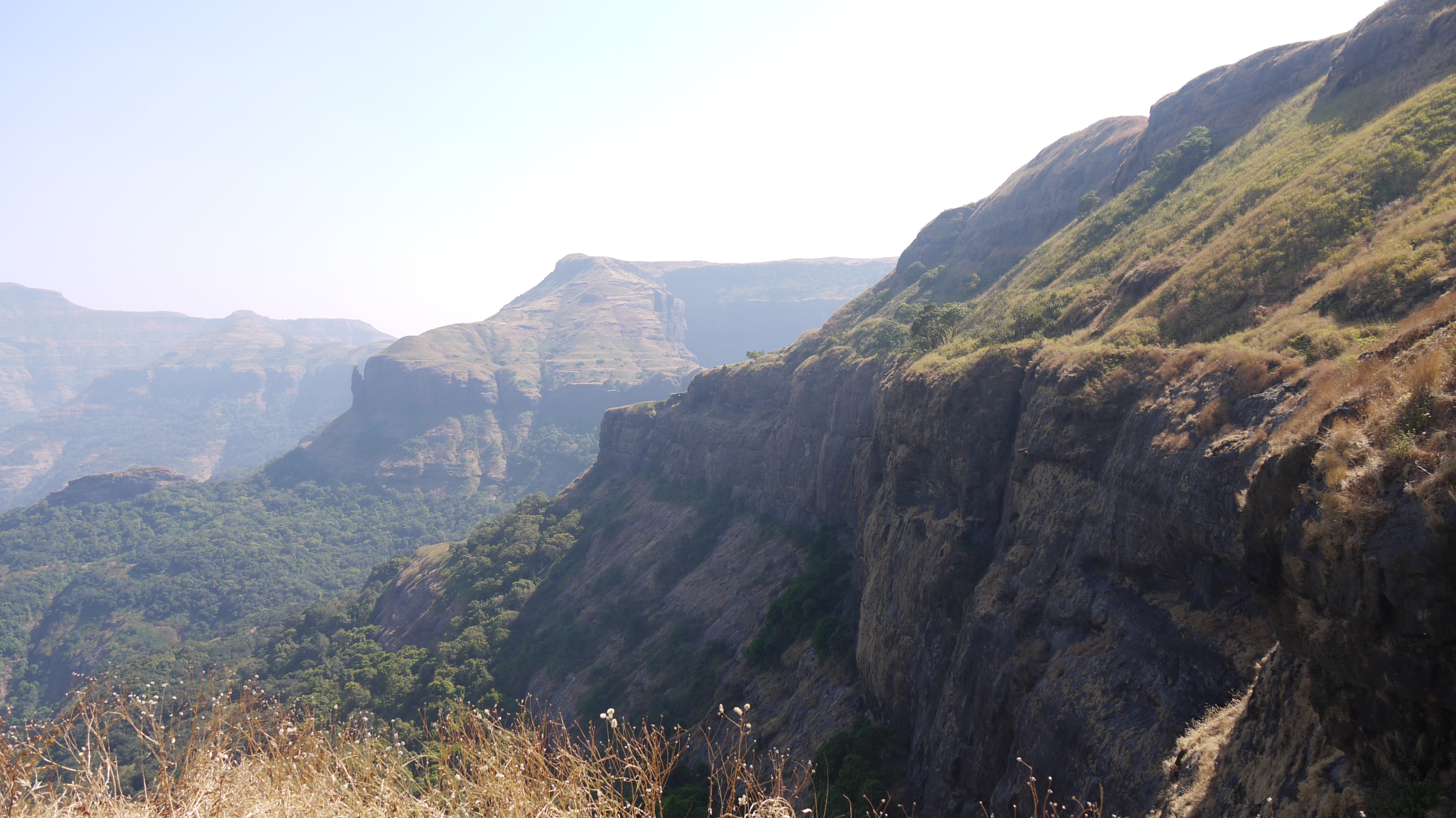
... view from the western face
... viewing n-e from Khireshwar

... view from Ratangad

A view from Hadsar fort

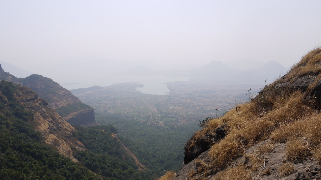
View from the top
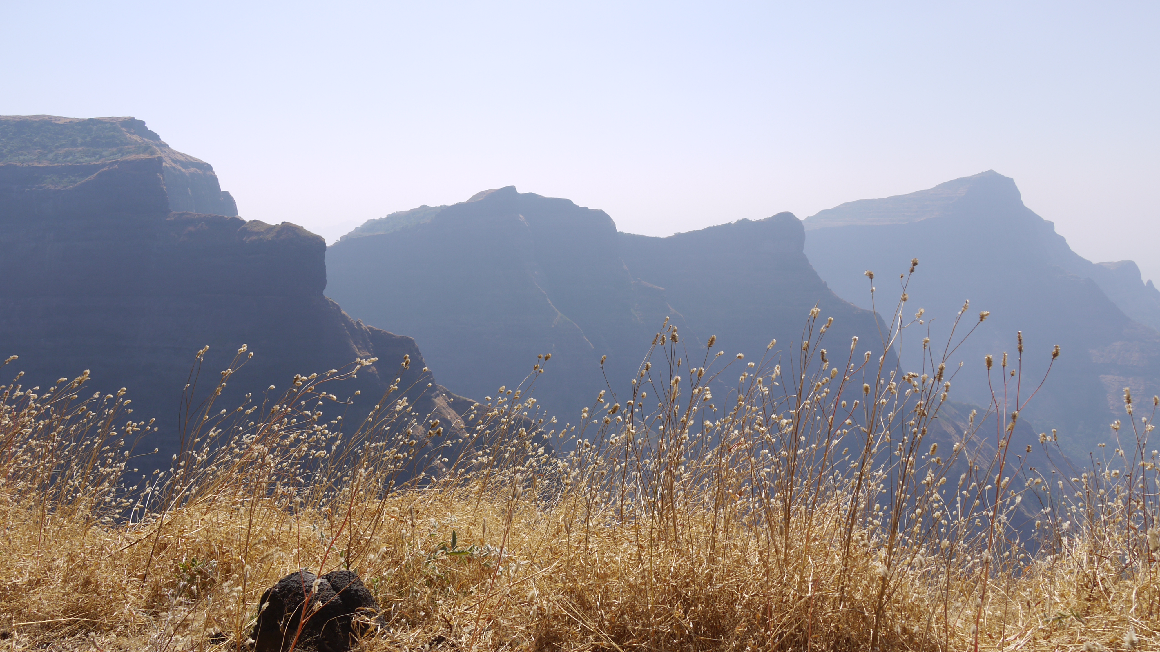
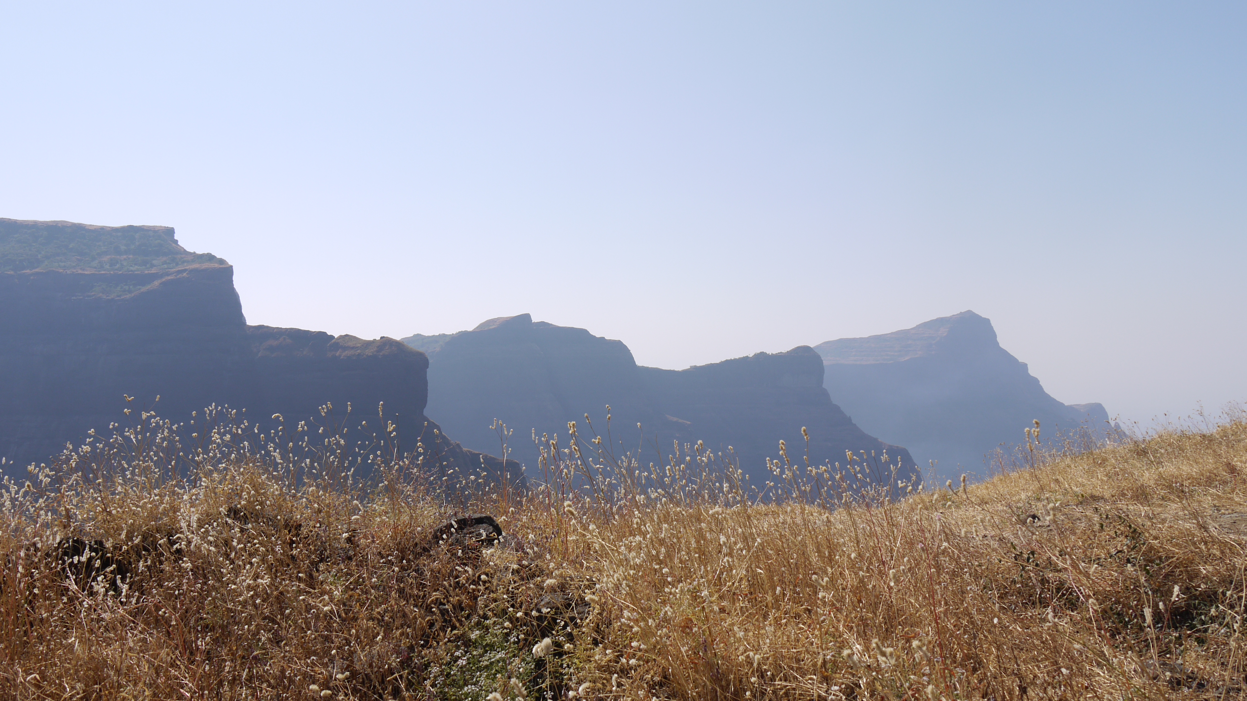
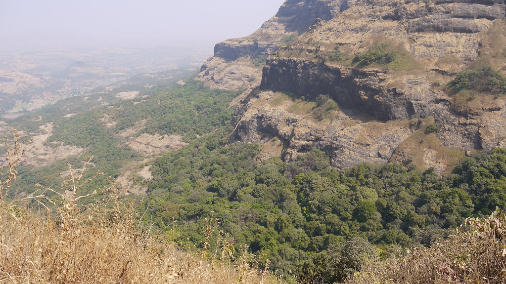
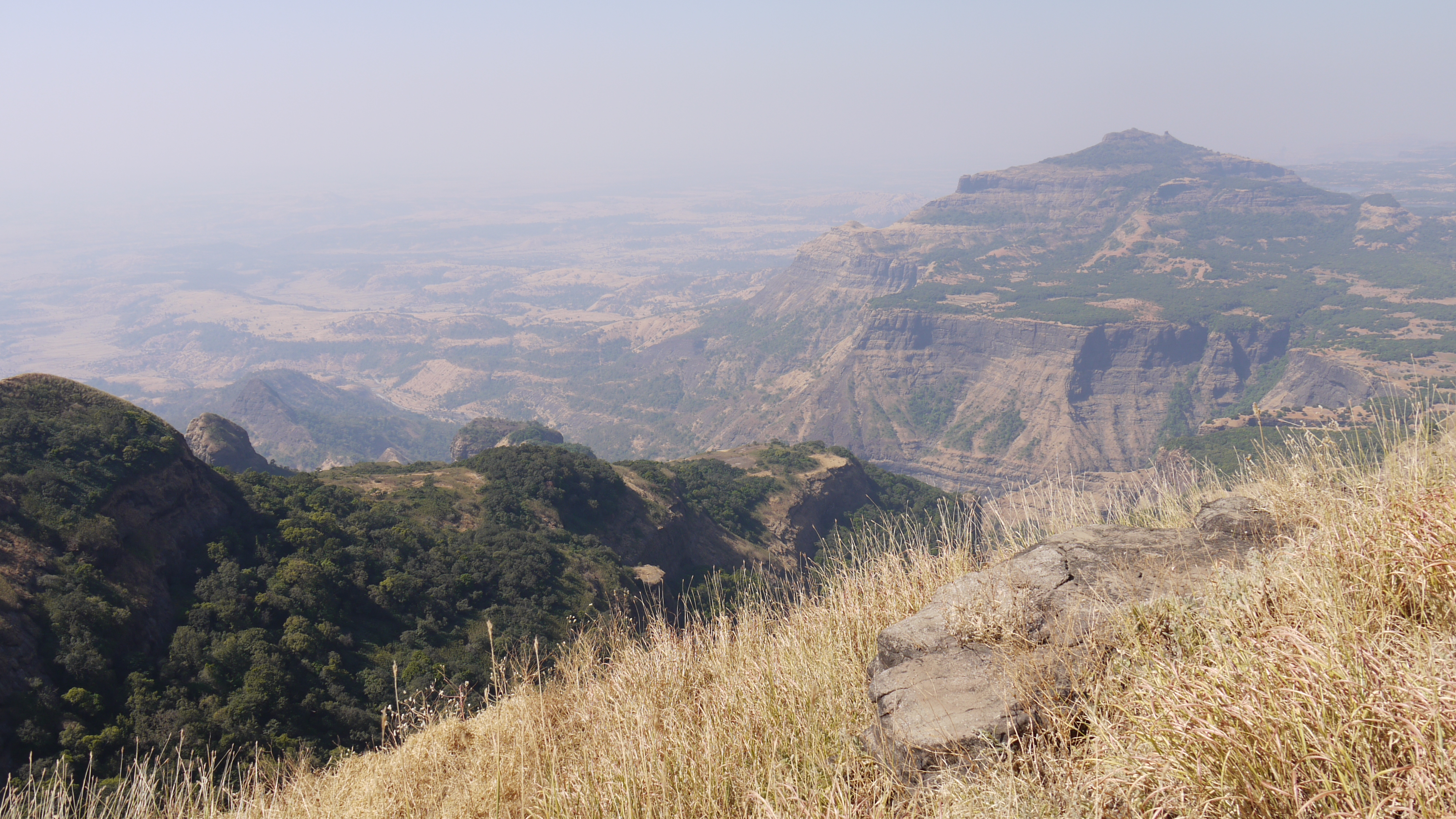
view of Malshej ghat from Taramati peak
View of the Green eyes
... viewing Kalbhairav pinnacle
Mokander (Hindi: ¿ मोकंदर ?)
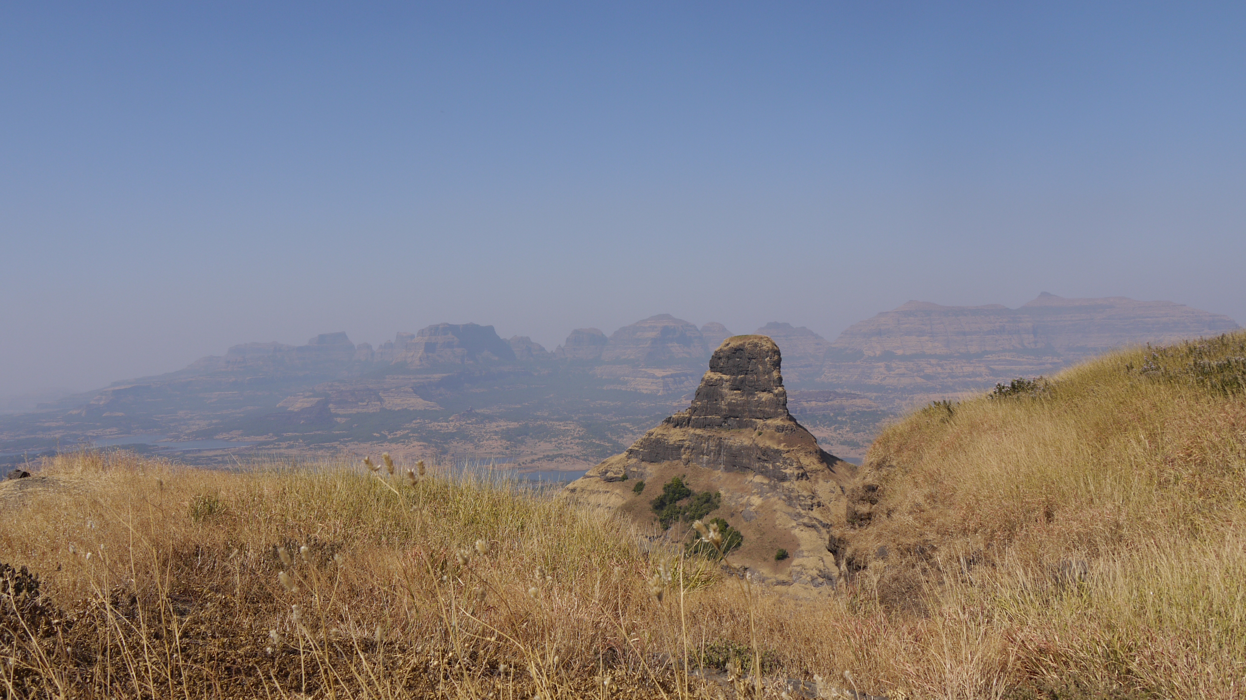
... Naneghat

... golden grass
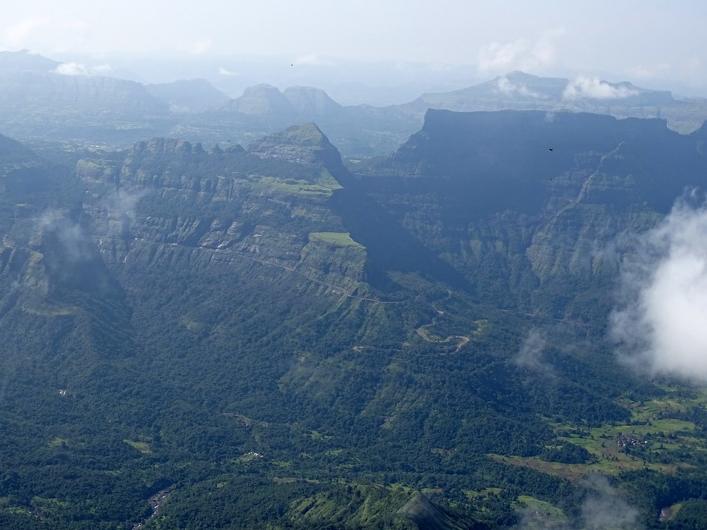
Green valleys and Blue sky

... at Ratangad

... Rani cha huda at Ratangad
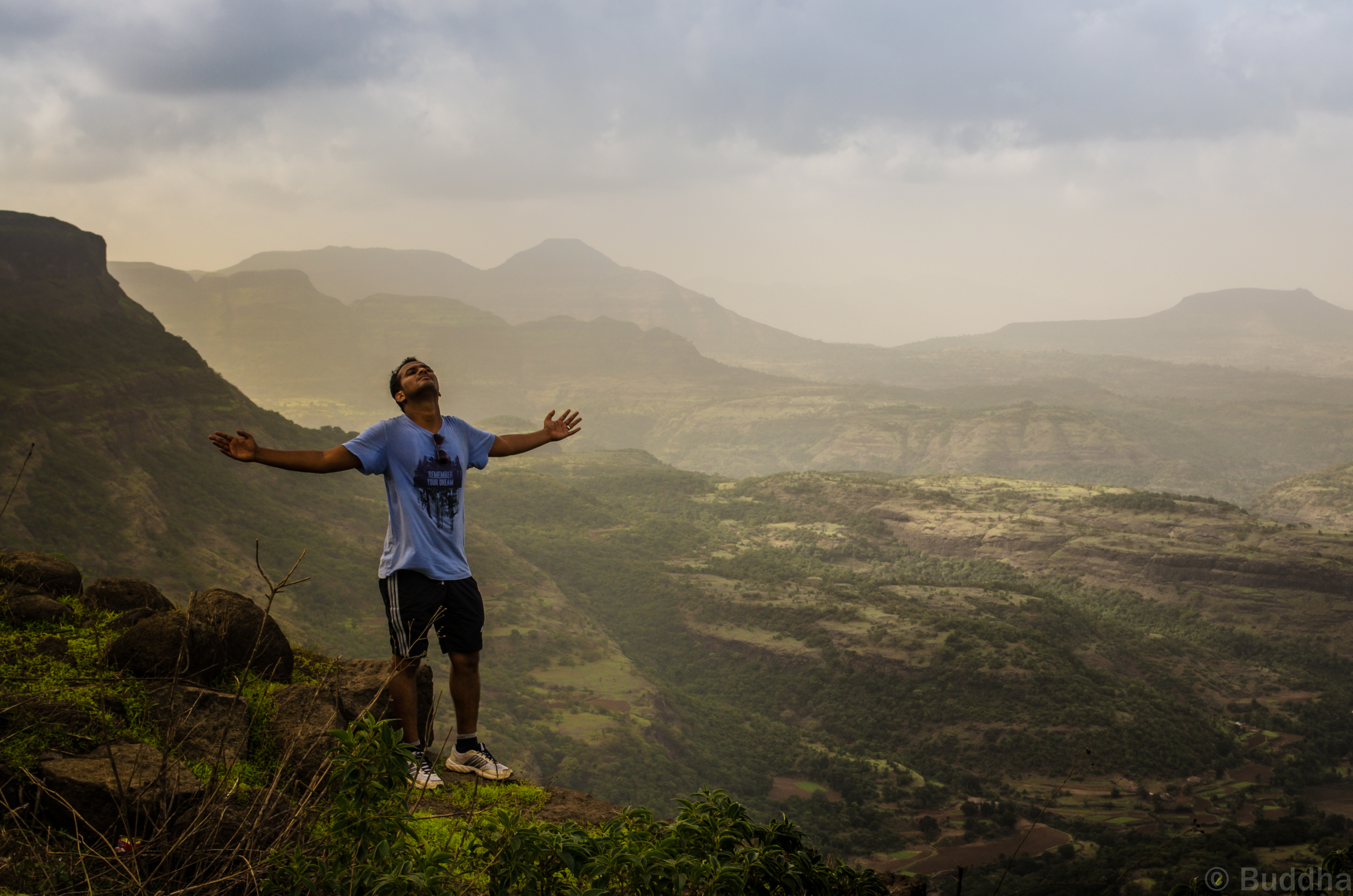
Welcoming the hug of the cool breeze
... east facade of Ratangad
... looking north-west from Ratangad
... Khutta pinnacle

... the massive Kokan-kada

... Rani cha Huda at Ratangad
Topographic Map of Taramati Peak, Maharashtra
Find elevation by address:

Places near Taramati Peak, Maharashtra:
Konkan Kada
Malshej Ghat
Kolewadi
Bhandardara
Jahagirdarwadi
Kalsubai Peak
Kalsubai Peak
Hotel Kalsubai
Bari
Indore
Nawalewadi
Akole
Thakarwadi
Mahalwadi
Bhimashankar
Kasara
Thane
Chafewadi
Ghulewadi
Ambhu
Recent Searches:
- Elevation of Corso Fratelli Cairoli, 35, Macerata MC, Italy
- Elevation of Tallevast Rd, Sarasota, FL, USA
- Elevation of 4th St E, Sonoma, CA, USA
- Elevation of Black Hollow Rd, Pennsdale, PA, USA
- Elevation of Oakland Ave, Williamsport, PA, USA
- Elevation of Pedrógão Grande, Portugal
- Elevation of Klee Dr, Martinsburg, WV, USA
- Elevation of Via Roma, Pieranica CR, Italy
- Elevation of Tavkvetili Mountain, Georgia
- Elevation of Hartfords Bluff Cir, Mt Pleasant, SC, USA