Elevation of Kalsubai Peak, Indore, Maharashtra
Location: India > Maharashtra > Nashik > Indore >
Longitude: 73.7091518
Latitude: 19.6012285
Elevation: 1322m / 4337feet
Barometric Pressure: 86KPa
Elevation Map:
Satellite Map:
Related Photos:

Lake Eerie

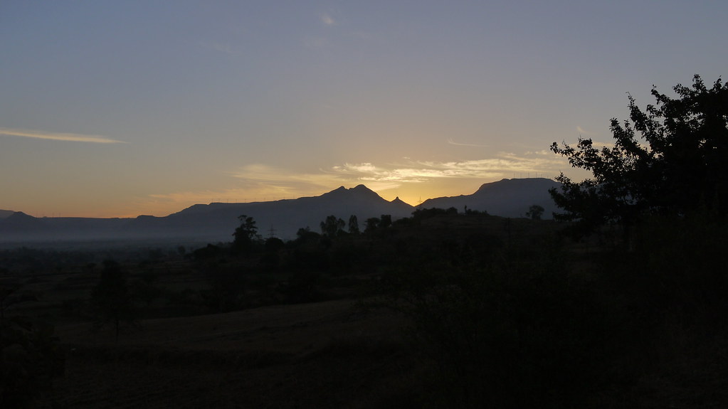
#beautiful #sunrise #roadtrip #tent #chai #birds #view

Kalsubai viewed from Ratanwadi
... viewing south from Ratangad
... viewing s-e end of Kulanggad
... viewing south from Ratangad

... viewing N-E from mid-height
... viewing top of Ratangad

... viewing East from mid-height

... viewing north from Ratangad
... N-E view from Kulanggad entrance

... view from Ratangad
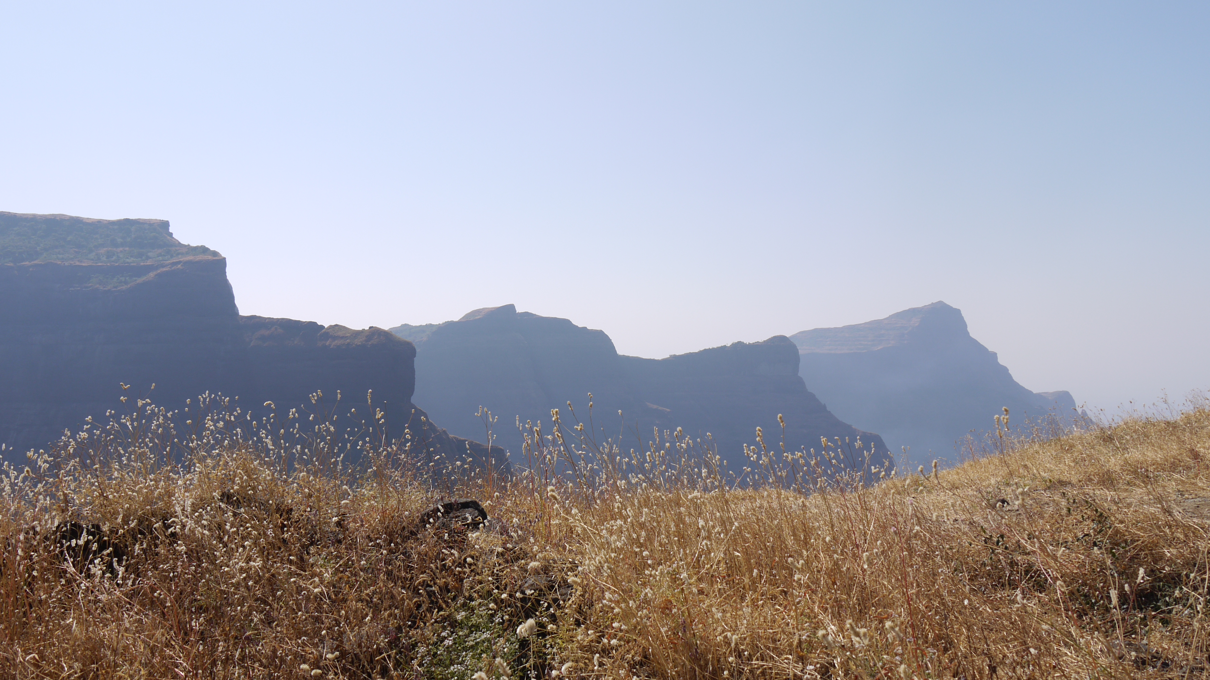
... any and every view ... beautiful

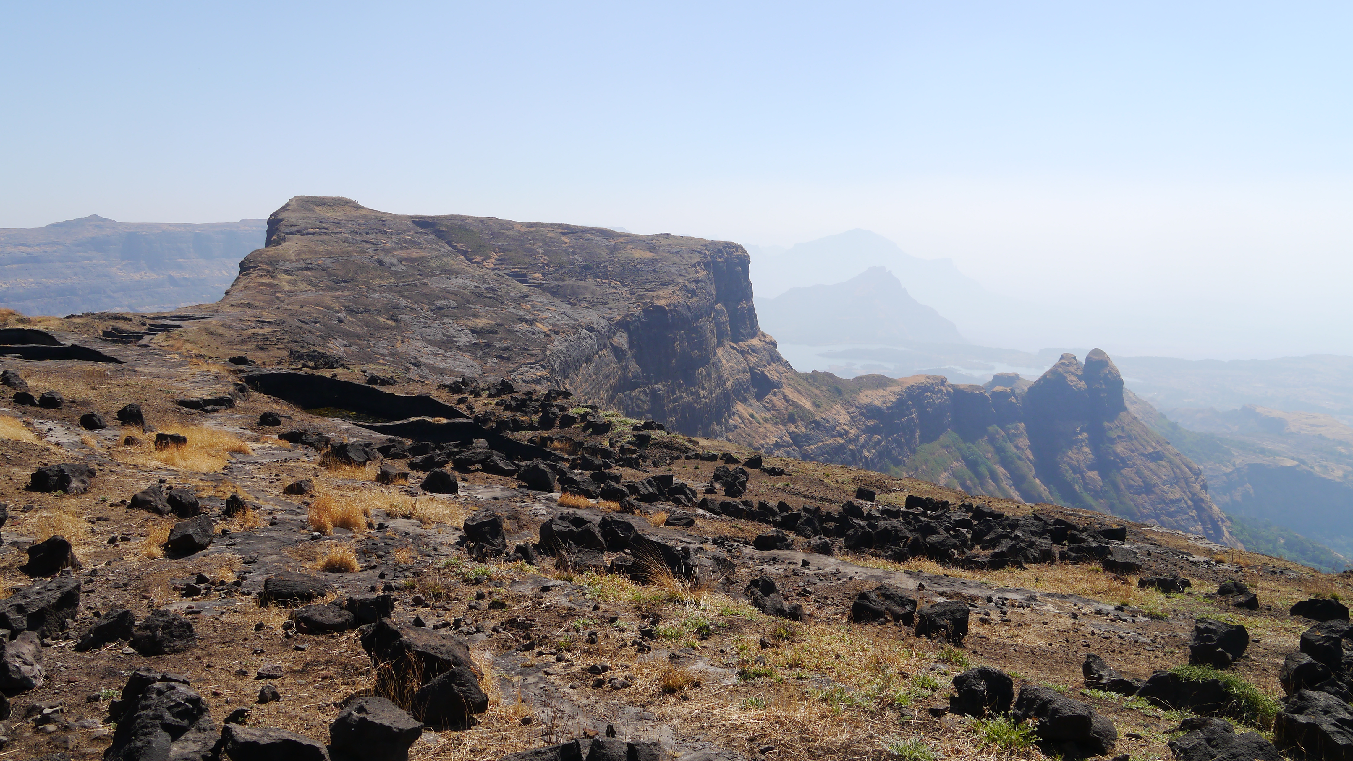
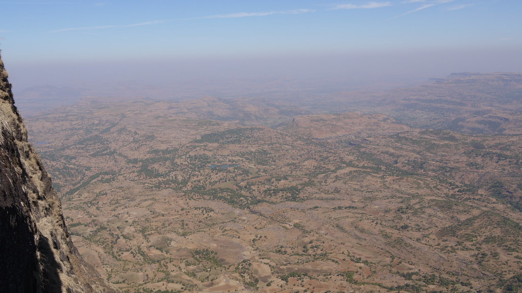
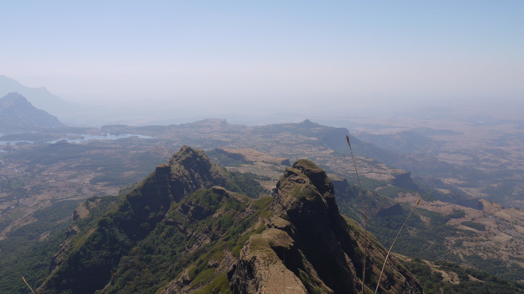
View from the top

Leaving the #sun behind... ???? #beautiful #sunrise #view from side #mirror #roadtrip

#beautiful #sunrise #colourful #view #roadtrip

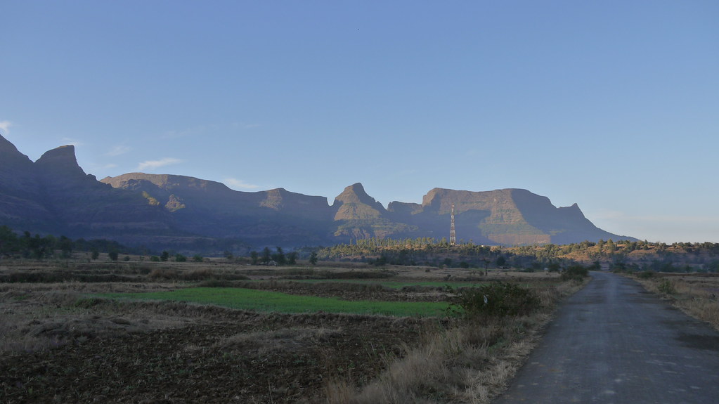
Scenic view...
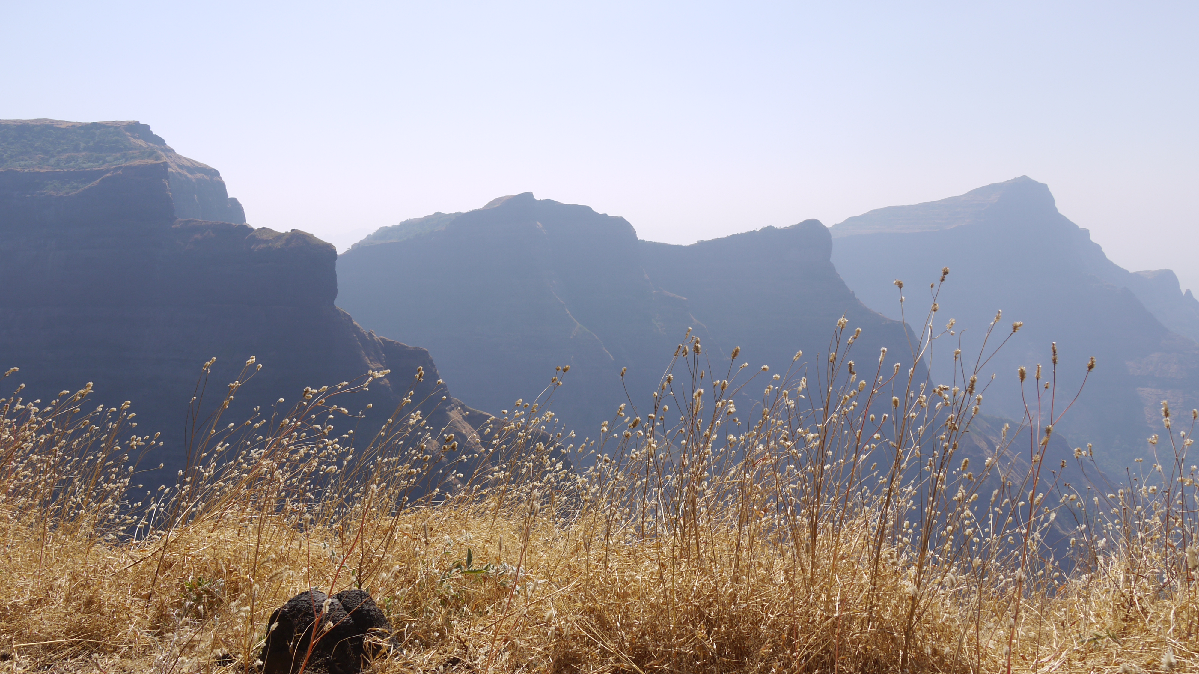
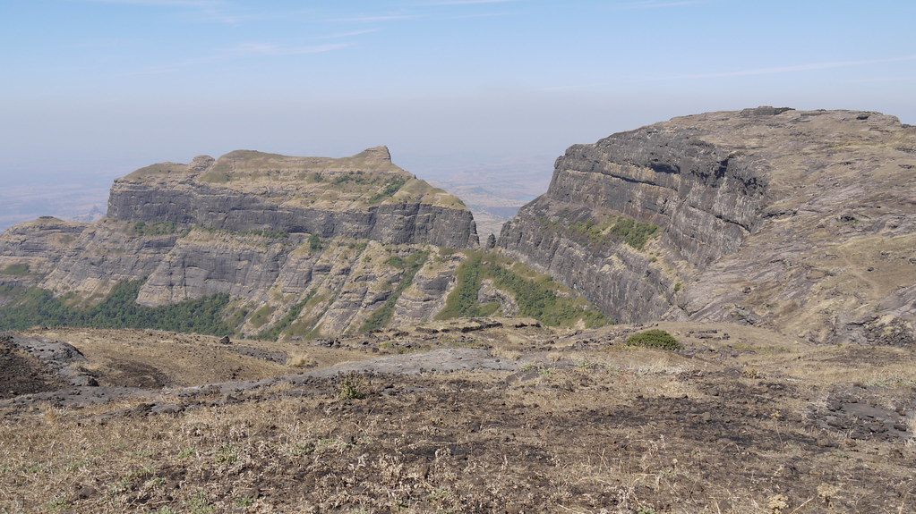
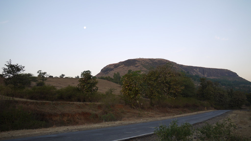
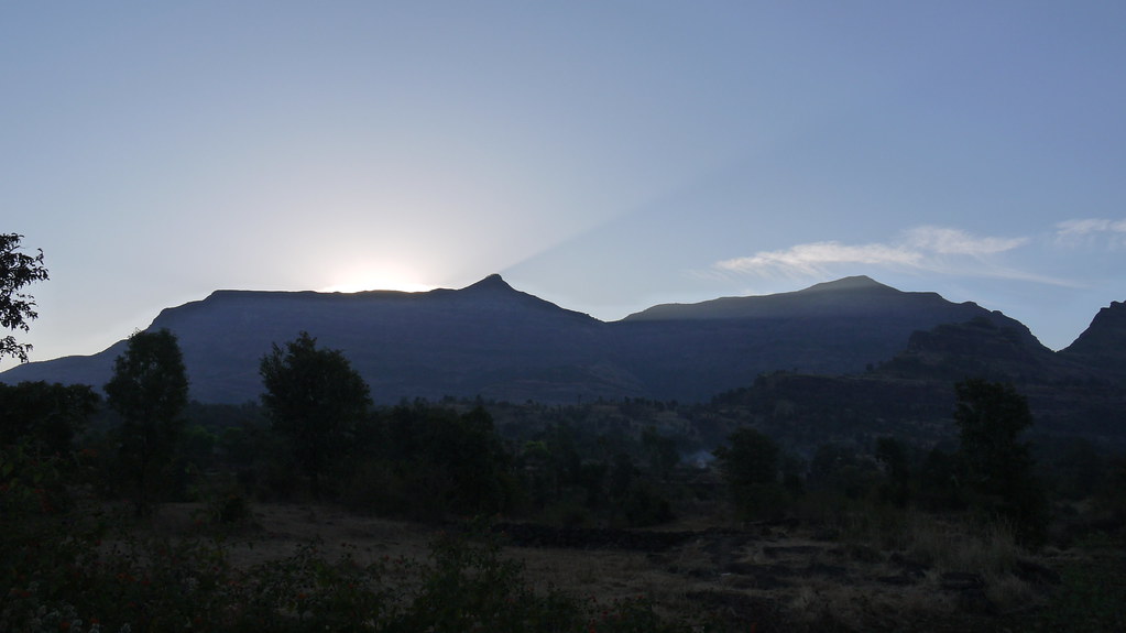
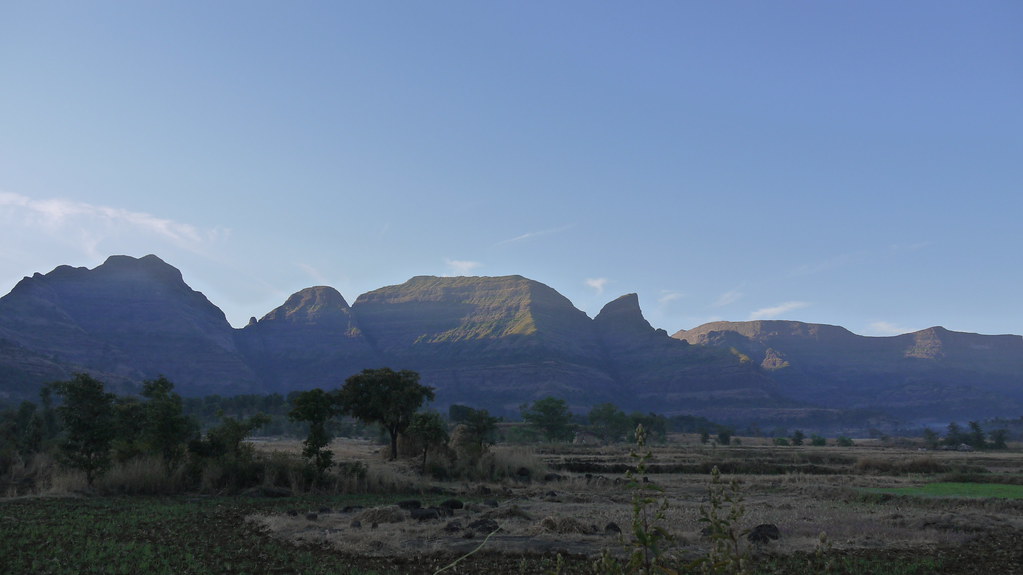
Kalsubai range
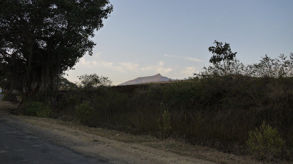
Mount Kalsubai
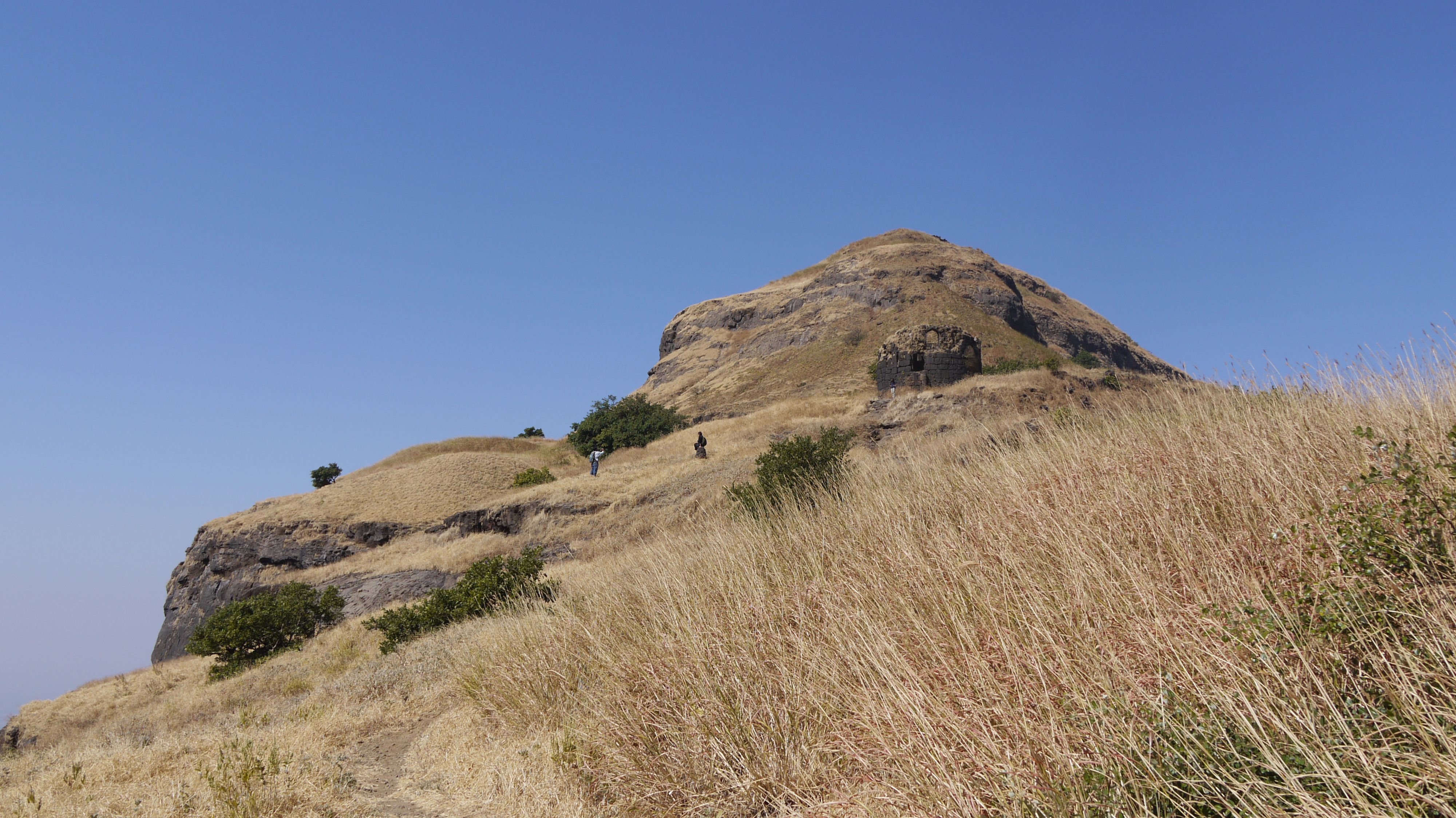
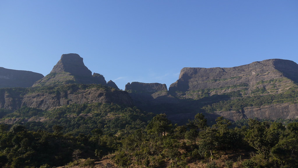
Kille Mordhan

Capparis spinosa
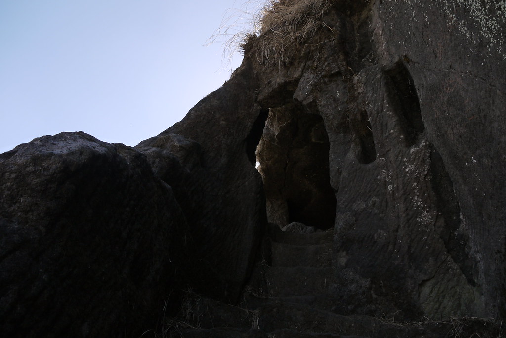
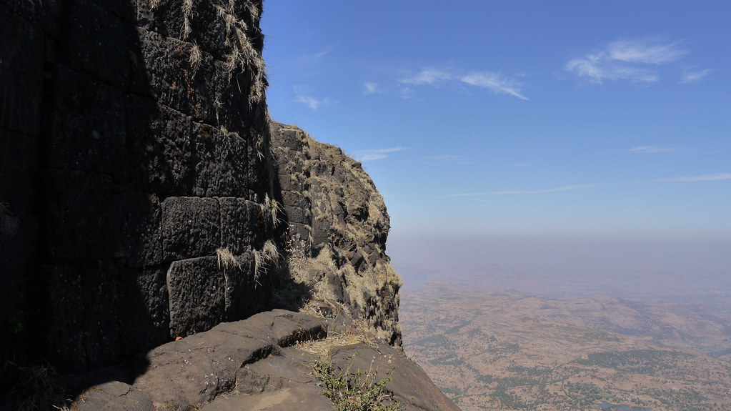
... a pass carved through rock face
... nearing the main entrance
... getting higher
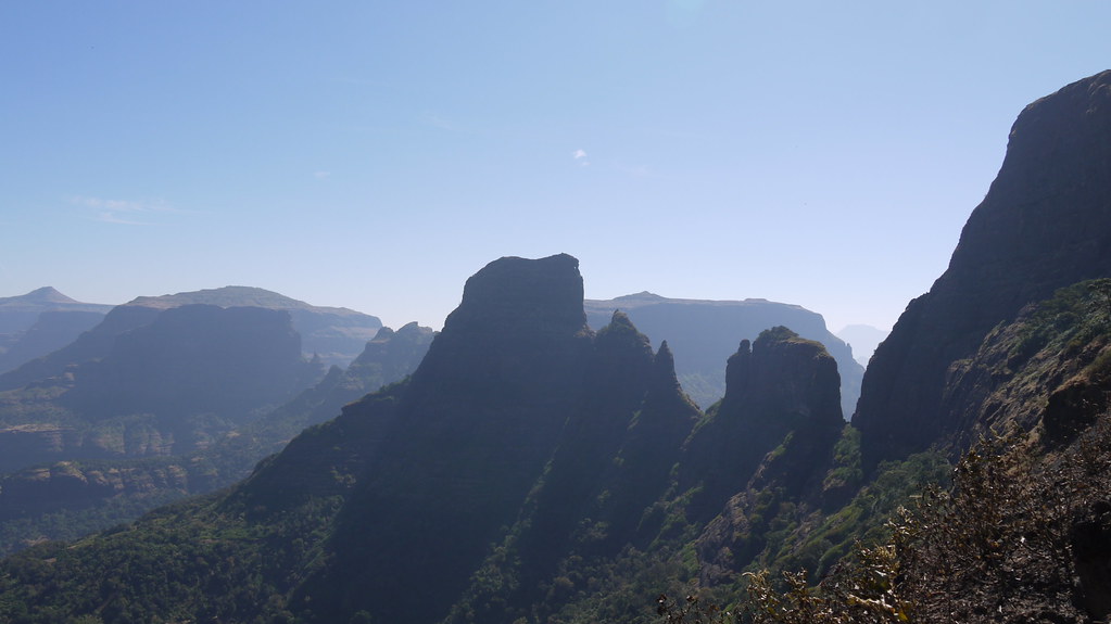
... the wall of Kulanggad
... peaks of Kalsubai and Sakira
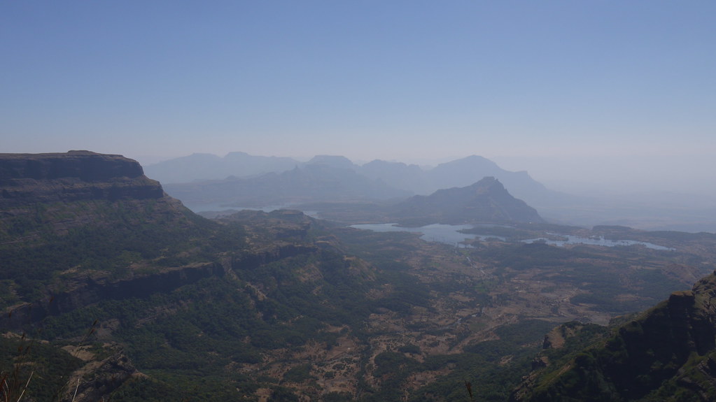
... Shendi Bhandardara
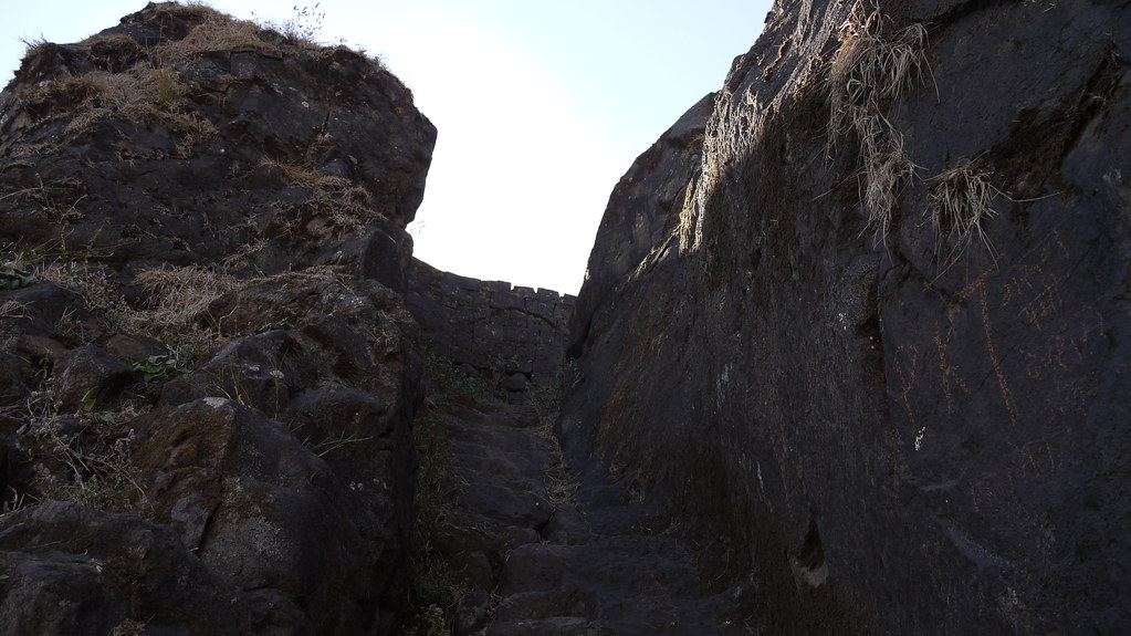
... the final flight of steps
... tall members of Kalsubai range

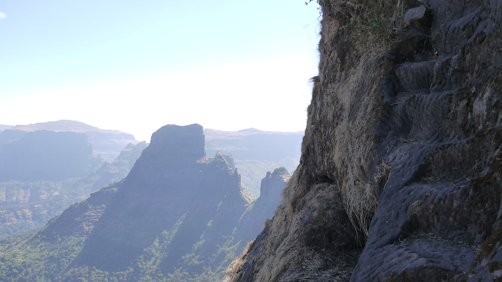
... steep wall of Kulanggad

Chota Kulang as near as it gets
... a ridge
... gazing Madangad & Kulanggad
... towards Ambewadi village
Topographic Map of Kalsubai Peak, Indore, Maharashtra
Find elevation by address:

Places near Kalsubai Peak, Indore, Maharashtra:
Kalsubai Peak
Indore
Bari
Hotel Kalsubai
Jahagirdarwadi
Bhandardara
Konkan Kada
Taramati Peak
Kasara
Malshej Ghat
Nawalewadi
Akole
Kolewadi
Thane
Mahalwadi
Ghulewadi
Konkan Division
Thakarwadi
Bhimashankar
Chafewadi
Recent Searches:
- Elevation of Corso Fratelli Cairoli, 35, Macerata MC, Italy
- Elevation of Tallevast Rd, Sarasota, FL, USA
- Elevation of 4th St E, Sonoma, CA, USA
- Elevation of Black Hollow Rd, Pennsdale, PA, USA
- Elevation of Oakland Ave, Williamsport, PA, USA
- Elevation of Pedrógão Grande, Portugal
- Elevation of Klee Dr, Martinsburg, WV, USA
- Elevation of Via Roma, Pieranica CR, Italy
- Elevation of Tavkvetili Mountain, Georgia
- Elevation of Hartfords Bluff Cir, Mt Pleasant, SC, USA