Elevation of Tanglewood Ln, Saluda, NC, USA

Location: United States > North Carolina > Polk County > Saluda > Saluda >

Longitude: -82.377606

Latitude: 35.186422

Elevation: 739m / 2425feet

Barometric Pressure: 93KPa

Elevation Map:

elevation map of Tanglewood Ln, Saluda, NC, USA

Satellite Map:

Satellite map of Tanglewood Ln, Saluda, NC, USA

Related Photos:

water nc rocks whitewater northcarolina rush cascade naturephotography polkcounty pearsonsfalls ncpedia
In a Hurry
longexposure white water creek nc moss rocks stream northcarolina flowing cascade naturephotography polkcounty mosscovered pearsonsfalls davidhopkinsphotography ncpedia
Cascading Water
Pearson Lower New Trail - Read Description
sign nc northcarolina townhall flatrock rockwork flatrocknc nikor1685vr
Flat Rock Village Hall
90/365 ~ Saluda Cottages, Flat Rock, NC
theredhorseinn blueridgemountains romanticgetaway romanticview couplesretreat elopementwedding elope hottub honeymoon red horse redhorse greenville sc landrum
Springhouse Cottage
theredhorseinn blueridgemountains romanticgetaway romanticview elopementwedding elope landrum anniversaryidea birthdaygetaway honeymoon greenville sc
The Gable Room
theredhorseinn blueridgemountains romanticgetaway romanticview elopementwedding elope landrum anniversaryidea birthdaygetaway honeymoon greenville sc
The Gable Room
street trees town downtown northcarolina hendersonville 1994 floweringtrees businessdistrict commercialbuildings
Downtown Hendersonville, North Carolina
theredhorseinn blueridgemountains romanticgetaway romanticview elopementwedding elope landrum anniversaryidea birthdaygetaway honeymoon greenville sc
The Gable Room
theredhorseinn clouds maininn greenpasture greenville sc landrum
Main Inn View
landrum southcarolina unitedstates us theredhorseinn blueridgemountains blueskies greenville sc
Aerial View of The Inn
theredhorseinn blueridgemountains romanticgetaway romanticview romance landrum honeymoon greenville sc
The Dovecote Room
theredhorseinn azaleas romanticview greenville sc landrum
Sunset at The Main Inn
theredhorseinn cottage blueridgemountains crepe myrtles greenville sc landrum
crepe myrtles with a view of cottage
trees grass fence bench rocks seat smoke lawn splitrail d3200 ncmountainman phixe lowresolutionversion nikon
Log Bench
trees usa mountains northcarolina waterfalls forests blueridgemountains eastcoast saluda appalachianmountains supershot panoramafotográfico terpsphotostream
PEARSON'S FALLS BLUE RIDGE MOUNTAINS ~ N.C.
flatrock northcarolina unitedstates us
Orange Peppers
followbacktrips4sviewlikes4likesfollownaturelikeforlikelikesforlikesilikefollowforfollowinstagoodf4ffollowmelikealll4llikerlandscapeloverslandscapeloversamazinglike4likelandscapephotographyphotos petercirophotographycomfollowbacktrips4sviewlikes4likesfollownaturelikeforlikelikesforlikesilikefollowforfollowinstagoodf4ffollowmelikealll4llandscapeloverslandscapeloversamazinglike4likelandscapephotography exif:lens=canonef1740mmf4l exif:model=canoneos5dmarkiv camera:make=canon geocity geo:lat=35129343333333 geocountry geostate exif:isospeed=500 exif:focallength=19mm geolocation exif:aperture=ƒ80 camera:model=canoneos5dmarkiv geo:lon=8238458665 exif:make=canon
Poinsett Bridge near Highland, SC
longexposure trees waterfall nc rocks whitewater northcarolina saluda naturephotography polkcounty ndfilter naturesfinest pearsonsfalls davidhopkinsphotography ncpedia
Pearson's Falls
nikond90
Pleasant Ridge Falls - Marietta, S.C.
saluda north carolina the south landscape outdoor hike hiking woods forest trees waterfall pearson falls
Peaceful Trail
saluda north carolina the south blue ridge mountains pacolet river water stream hike hiking outdoor landscape woods forest waterfall
Gentle Falls on the North Pacolet River
north pacolet river saluda carolina the south pearson falls water forest woods hike hiking outdoor landscape
Falls Along the Pacolet
saluda north carolina the south landscape outdoor hike hiking woods forest trees waterfall pearson falls
Water Dancing on the Rocks
north pacolet river saluda carolina the south pearson falls water forest woods hike hiking outdoor landscape
Pearson Falls
saluda north carolina the south blue ridge mountains pacolet river water stream hike hiking outdoor landscape woods forest
Gentle North Pacolet
nature water river outdoors us waterfall unitedstates outdoor cleveland scenic southcarolina cascade augphotoimagery
Poinsett Cascade
the carolina north pacolet river pearson falls saluda south water woods outdoor landscape rocks rocky
North Pacolet River
north pacolet river saluda carolina the south water forest woods hike hiking outdoor landscape
North Pacolet River II
saluda north carolina the south landscape outdoor hike hiking woods forest trees waterfall pearson falls bw black white monotone
Pearson Falls - BW
saluda north carolina the south blue ridge mountains pacolet river water stream hike hiking outdoor landscape woods forest moss
Moss on River Rock
trees blur nature water landscape landscapes waterfall rocks northcarolina waterblur saluda waterflow westernnorthcarolina flowingwater littlebradleyfalls nikonflickraward
Little Bradley Falls (Saluda, North Carolina)
north pacolet river saluda carolina the south water forest woods hike hiking outdoor landscape
North Pacolet River III
blackandwhite anseladams lowkey sooc square landscape iphoneart iphone hipstamatic monochrome bw
Sunrise Tryon
ansel iphoneart blackandwhite hipstamatic
Low Key
saluda north carolina the south landscape outdoor hike hiking woods forest trees waterfall pearson falls
Pearson Falls II
snow clouds overcast landscape scenic rural northcarolina
The Guarded Way
trees mist grass fog barn rural landscape spring nebel farm northcarolina infrared
Mountain Magenta
park usa geotagged nc unitedstates map northcarolina hendersonville greenspace flatrock themeadows wnc parkmap westernnorthcarolina publicpark hendersoncounty hendersonvillenc flatrocknorthcarolina flatrocknc kingcreek conceptualmap nikonsigma hendersonvillenorthcarolina oldgolfcourse hendersoncountync hendersoncountynorthcarolina dyecreek theparkatflatrock highlandlakegolfclub preliminarymap geo:lat=3529175697 geo:lon=8243640125
The Park At Flat Rock (Flat Rock, North Carolina)
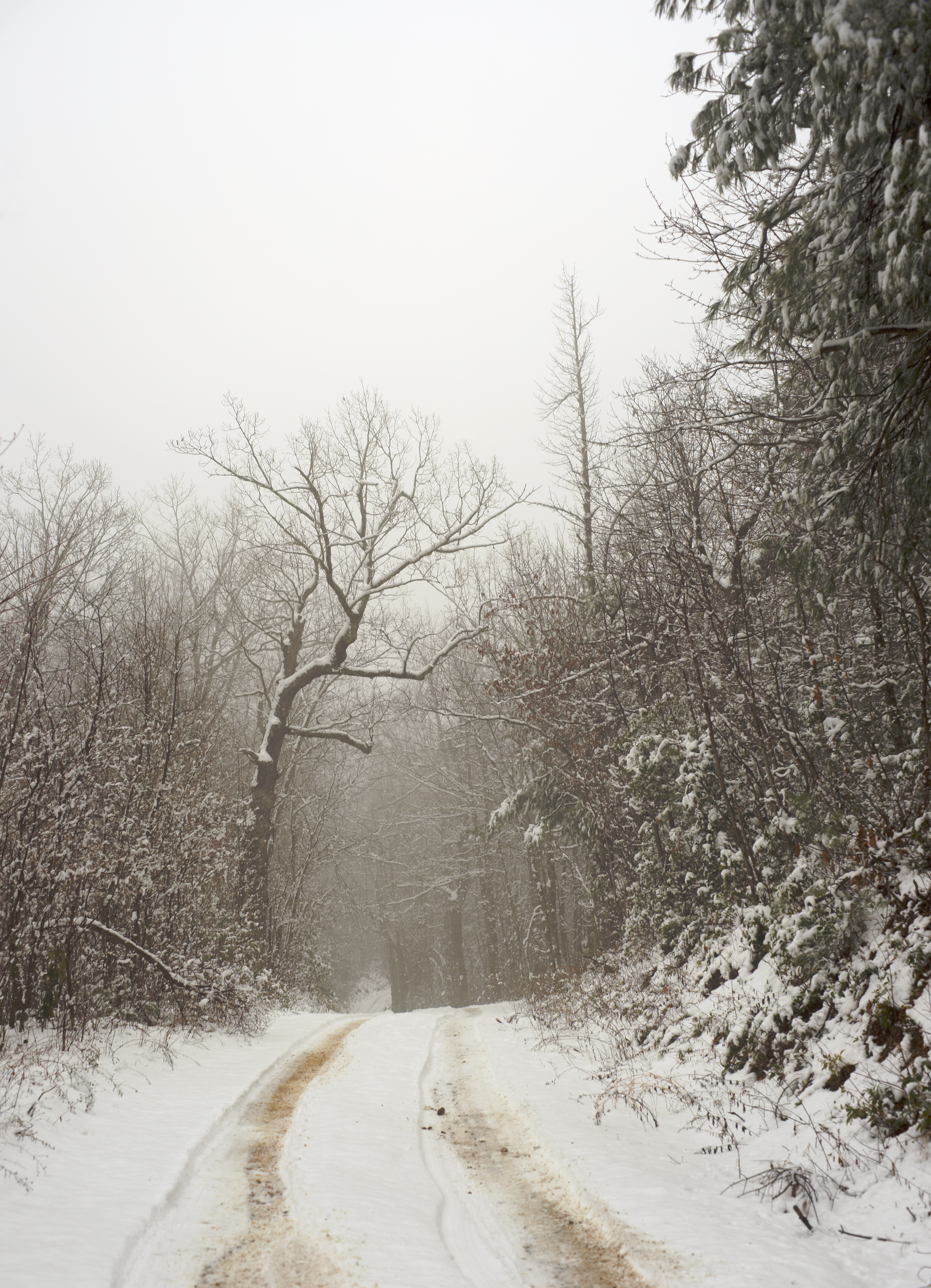
fog mist autumn northcarolina trees landscape rural
Road to Nowhere