Elevation of Mine Mountain Rd, Saluda, NC, USA

Location: United States > North Carolina > Polk County > Saluda > Saluda >

Longitude: -82.363637

Latitude: 35.1995546

Elevation: 615m / 2018feet

Barometric Pressure: 94KPa

Elevation Map:

elevation map of Mine Mountain Rd, Saluda, NC, USA
Satellite Map:

Satellite map of Mine Mountain Rd, Saluda, NC, USA
Related Photos:

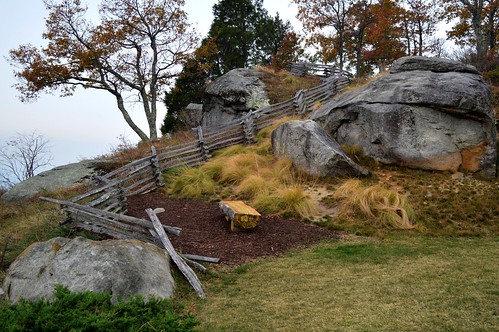
trees grass fence bench rocks seat smoke lawn splitrail d3200 ncmountainman phixe lowresolutionversion nikon
Log Bench
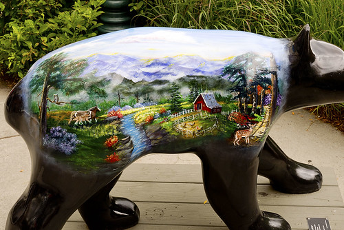
bearfootin’publicartwalk bear statue sculpture
Hendersonville Bears 13 - Into The Wild
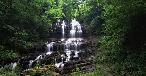
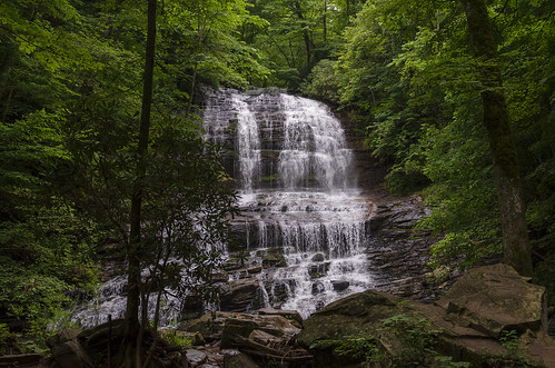
trees usa mountains northcarolina waterfalls forests blueridgemountains eastcoast saluda appalachianmountains supershot panoramafotográfico terpsphotostream
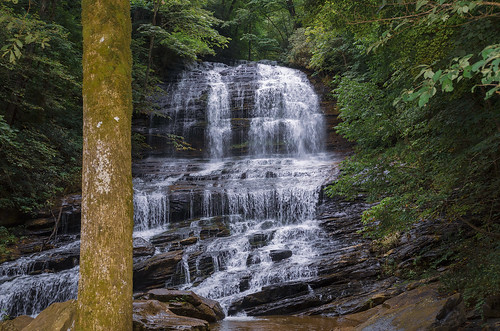
PEARSON'S FALLS BLUE RIDGE MOUNTAINS ~ N.C.
flatrock northcarolina unitedstates us
Orange Peppers
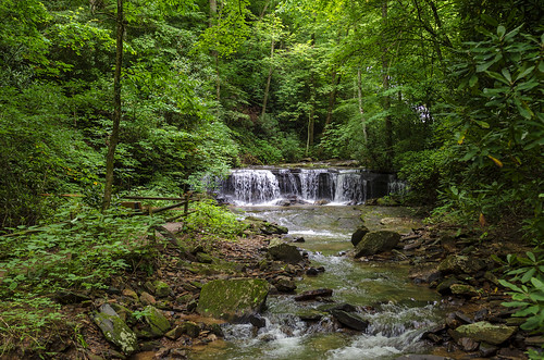
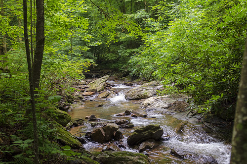
water nc rocks whitewater northcarolina rush cascade naturephotography polkcounty pearsonsfalls ncpedia
In a Hurry
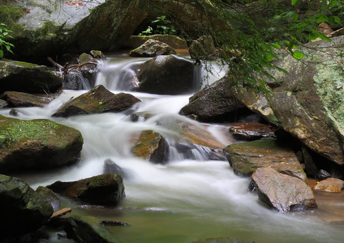
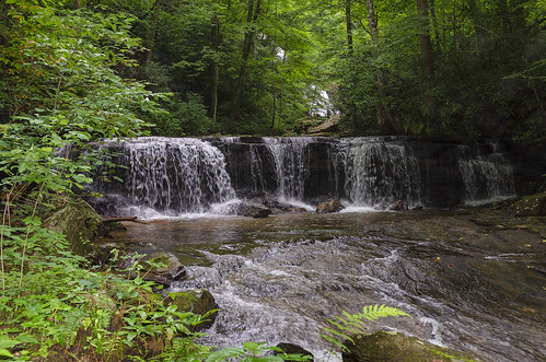
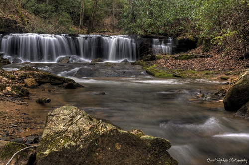
longexposure white water creek nc moss rocks stream northcarolina flowing cascade naturephotography polkcounty mosscovered pearsonsfalls davidhopkinsphotography ncpedia
Cascading Water
followbacktrips4sviewlikes4likesfollownaturelikeforlikelikesforlikesilikefollowforfollowinstagoodf4ffollowmelikealll4llikerlandscapeloverslandscapeloversamazinglike4likelandscapephotographyphotos petercirophotographycomfollowbacktrips4sviewlikes4likesfollownaturelikeforlikelikesforlikesilikefollowforfollowinstagoodf4ffollowmelikealll4llandscapeloverslandscapeloversamazinglike4likelandscapephotography exif:lens=canonef1740mmf4l exif:model=canoneos5dmarkiv camera:make=canon geocity geo:lat=35129343333333 geocountry geostate exif:isospeed=500 exif:focallength=19mm geolocation exif:aperture=ƒ80 camera:model=canoneos5dmarkiv geo:lon=8238458665 exif:make=canon
Poinsett Bridge near Highland, SC
longexposure trees waterfall nc rocks whitewater northcarolina saluda naturephotography polkcounty ndfilter naturesfinest pearsonsfalls davidhopkinsphotography ncpedia
Pearson's Falls
Pearson Lower New Trail - Read Description
nikond90
Pleasant Ridge Falls - Marietta, S.C.
sign nc northcarolina townhall flatrock rockwork flatrocknc nikor1685vr
Flat Rock Village Hall
longexposure trees waterfall nc rocks whitewater northcarolina saluda naturephotography polkcounty ndfilter pearsonsfalls davidhopkinsphotography ncpedia
Pearson's Falls-through the Trees
fires smoke sc sky view d3200 ncmountainman phixe layers sunrise glassy thecliffsatglassy wildfire chapel forestfire ncwildfiresmoke roads lowresolutionversion nikon clouds
Smoke Layers
longexposure pool waterfall nc moss rocks northcarolina cascade naturephotography polkcounty bigbradleyfalls davidhopkinsphotography ncpedia
Just a Trickle
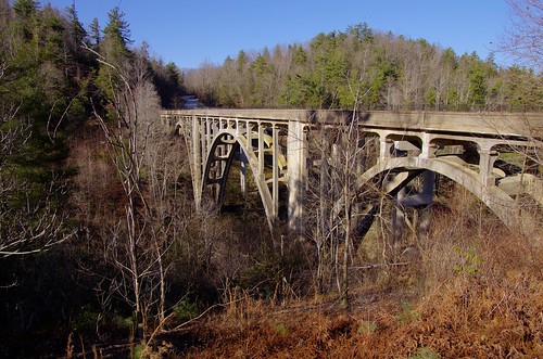
county nc henderson highbridge greenrivergorge abandonedbridge trusseddeckarch
High Bridge (Side View)
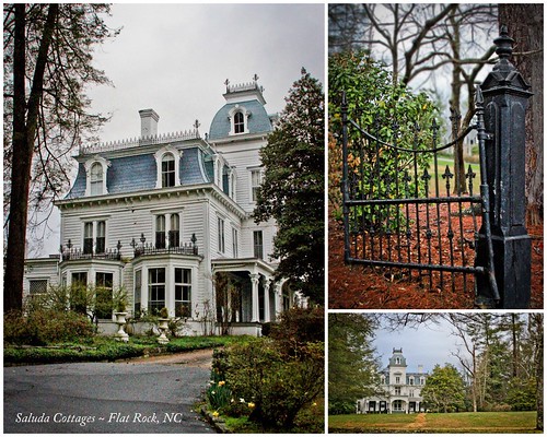
90/365 ~ Saluda Cottages, Flat Rock, NC
theredhorseinn blueridgemountains romanticgetaway romanticview couplesretreat elopementwedding elope hottub greenville sc landrum
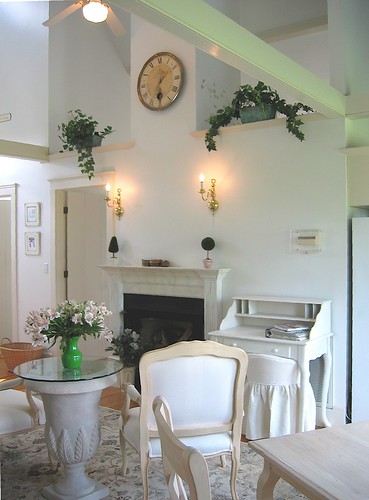
Springhouse Cottage
theredhorseinn blueridgemountains romanticgetaway romanticview couplesretreat elopementwedding elope hottub greenville sc landrum
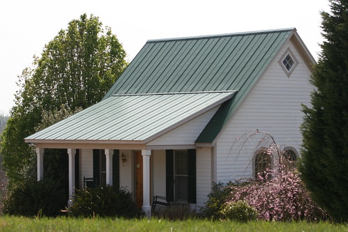
Springhouse Cottage
theredhorseinn blueridgemountains romanticgetaway romanticview couplesretreat elopementwedding elope hottub greenville sc landrum
Springhouse Cottage
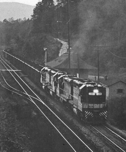
northcarolina trains railroads saluda southernrailway depots
Belmont Coal Train Passing Saluda Depot, 1967
theredhorseinn blueridgemountains romanticgetaway romanticview couplesretreat elopementwedding elope hottub greenville sc landrum
Springhouse Cottage
waterfall falls pearsons pearsonsfalls
Pearson's Falls in HDR
saluda north carolina the south landscape outdoor hike hiking woods forest trees waterfall pearson falls
Peaceful Trail
saluda north carolina the south blue ridge mountains pacolet river water stream hike hiking outdoor landscape woods forest waterfall
Gentle Falls on the North Pacolet River
north pacolet river saluda carolina the south pearson falls water forest woods hike hiking outdoor landscape
Falls Along the Pacolet
saluda north carolina the south landscape outdoor hike hiking woods forest trees waterfall pearson falls
Water Dancing on the Rocks
north pacolet river saluda carolina the south pearson falls water forest woods hike hiking outdoor landscape
Pearson Falls
saluda north carolina the south blue ridge mountains pacolet river water stream hike hiking outdoor landscape woods forest
Gentle North Pacolet
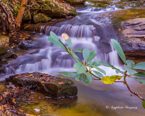
nature water river outdoors us waterfall unitedstates outdoor cleveland scenic southcarolina cascade augphotoimagery
Poinsett Cascade
the carolina north pacolet river pearson falls saluda south water woods outdoor landscape rocks rocky
North Pacolet River
north pacolet river saluda carolina the south water forest woods hike hiking outdoor landscape
North Pacolet River II
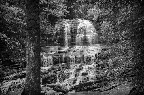
saluda north carolina the south landscape outdoor hike hiking woods forest trees waterfall pearson falls bw black white monotone
Pearson Falls - BW
saluda north carolina the south blue ridge mountains pacolet river water stream hike hiking outdoor landscape woods forest moss
Moss on River Rock
old bridge water stone river outdoors us arch unitedstates cleveland southcarolina augphotoimagery
Poinsett Flow
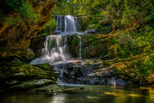
trees blur nature water landscape landscapes waterfall rocks northcarolina waterblur saluda waterflow westernnorthcarolina flowingwater littlebradleyfalls nikonflickraward
Little Bradley Falls (Saluda, North Carolina)
north pacolet river saluda carolina the south water forest woods hike hiking outdoor landscape
North Pacolet River III
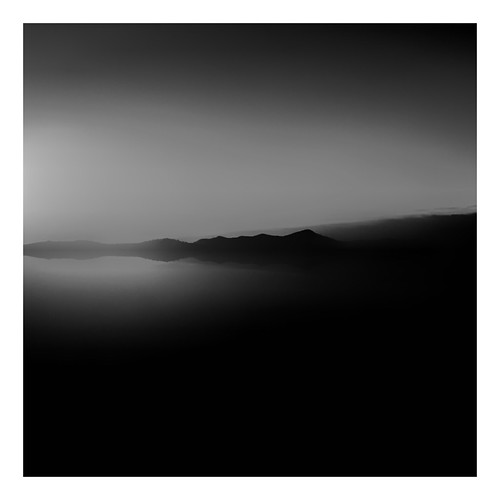
blackandwhite anseladams lowkey sooc square landscape iphoneart iphone hipstamatic monochrome bw
Sunrise Tryon
longexposure mountains water creek waterfall nc rocks stream northcarolina saluda wnc polkcounty westernnorthcarolina pearsonsfalls waterfallphotography davidhopkinsphotography
Below the Falls
ansel iphoneart blackandwhite hipstamatic
Low Key
saluda north carolina the south landscape outdoor hike hiking woods forest trees waterfall pearson falls
Pearson Falls II
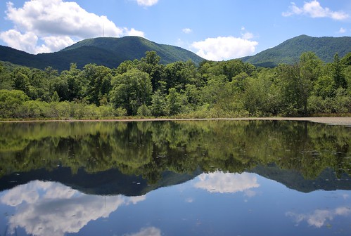
canon 6d 2255mm nature landscape water reflection mountain mountains forest clouds sky eos
Vaughn Gap and Hogback Mountain