Elevation of Tambora, Bima, West Nusa Tenggara, Indonesia
Location: Indonesia > West Nusa Tenggara > Bima >
Longitude: 117.971760
Latitude: -8.1709744
Elevation: 1484m / 4869feet
Barometric Pressure: 85KPa
Elevation Map:
Satellite Map:
Related Photos:

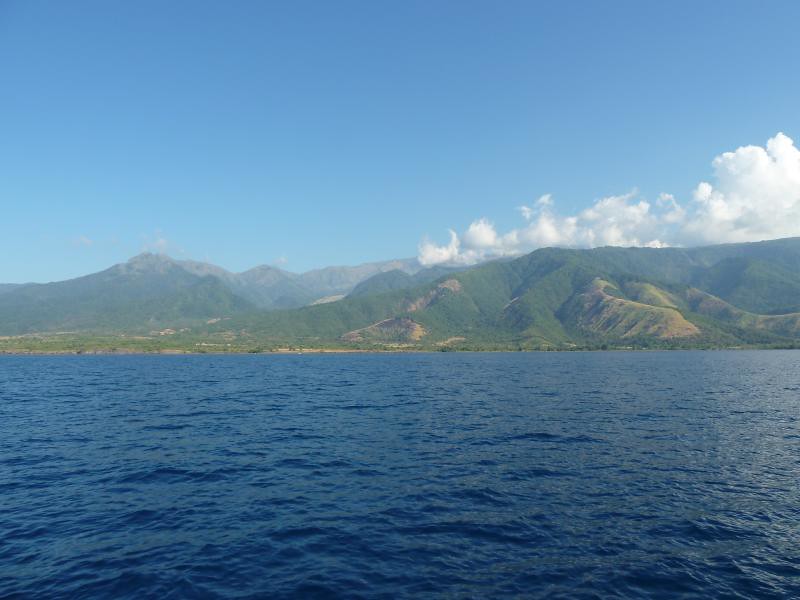
Le long des côtes de Sumbawa

Le long des côtes de Sumbawa

Le long des côtes de Sumbawa

Dauphins au large de Sumbawa

Dauphins au large de Sumbawa

Dauphins au large de Sumbawa

Komodo trip
Komodo trip

Komodo trip
Topographic Map of Tambora, Bima, West Nusa Tenggara, Indonesia
Find elevation by address:

Places in Tambora, Bima, West Nusa Tenggara, Indonesia:
Places near Tambora, Bima, West Nusa Tenggara, Indonesia:
Recent Searches:
- Elevation of Corso Fratelli Cairoli, 35, Macerata MC, Italy
- Elevation of Tallevast Rd, Sarasota, FL, USA
- Elevation of 4th St E, Sonoma, CA, USA
- Elevation of Black Hollow Rd, Pennsdale, PA, USA
- Elevation of Oakland Ave, Williamsport, PA, USA
- Elevation of Pedrógão Grande, Portugal
- Elevation of Klee Dr, Martinsburg, WV, USA
- Elevation of Via Roma, Pieranica CR, Italy
- Elevation of Tavkvetili Mountain, Georgia
- Elevation of Hartfords Bluff Cir, Mt Pleasant, SC, USA