Elevation of Kawinda Toi, Tambora, Bima, West Nusa Tenggara, Indonesia
Location: Indonesia > West Nusa Tenggara > Bima > Tambora >
Longitude: 118.042028
Latitude: -8.224765
Elevation: 1967m / 6453feet
Barometric Pressure: 80KPa
Elevation Map:
Satellite Map:
Related Photos:

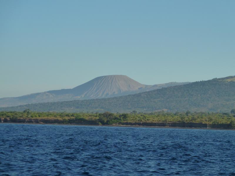
Le long des côtes de Sumbawa

Aerial Indonesia
Komodo trip

Le long des côtes de Sumbawa
Topographic Map of Kawinda Toi, Tambora, Bima, West Nusa Tenggara, Indonesia
Find elevation by address:

Places in Kawinda Toi, Tambora, Bima, West Nusa Tenggara, Indonesia:
Places near Kawinda Toi, Tambora, Bima, West Nusa Tenggara, Indonesia:
Recent Searches:
- Elevation of Corso Fratelli Cairoli, 35, Macerata MC, Italy
- Elevation of Tallevast Rd, Sarasota, FL, USA
- Elevation of 4th St E, Sonoma, CA, USA
- Elevation of Black Hollow Rd, Pennsdale, PA, USA
- Elevation of Oakland Ave, Williamsport, PA, USA
- Elevation of Pedrógão Grande, Portugal
- Elevation of Klee Dr, Martinsburg, WV, USA
- Elevation of Via Roma, Pieranica CR, Italy
- Elevation of Tavkvetili Mountain, Georgia
- Elevation of Hartfords Bluff Cir, Mt Pleasant, SC, USA