Elevation of Tamassee Knob Rd, Tamassee, SC, USA
Location: United States > South Carolina > Oconee County > Tamassee >
Longitude: -83.055749
Latitude: 34.8678096
Elevation: 358m / 1175feet
Barometric Pressure: 97KPa
Elevation Map:
Satellite Map:
Related Photos:
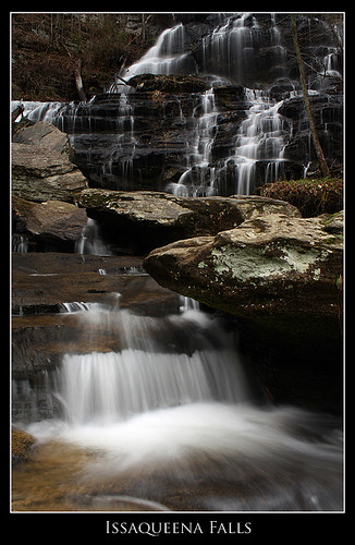
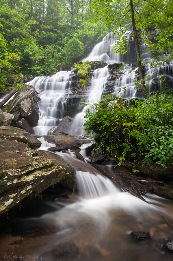
Issaqueena Falls
Isaqueena Falls
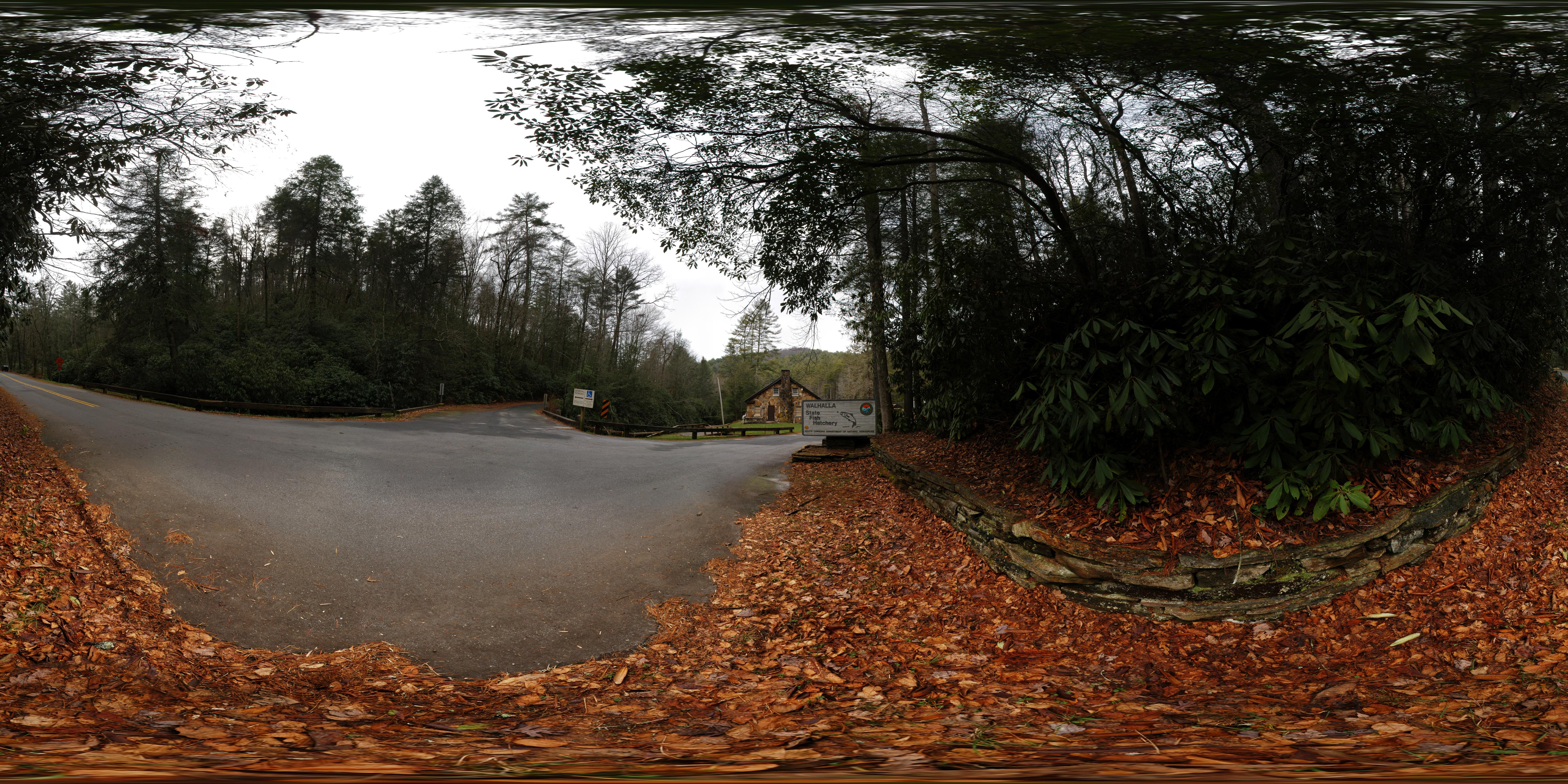
Wallhalla State Fish Hatchery
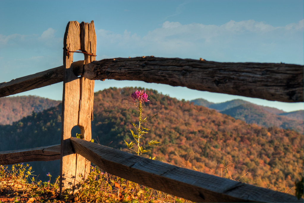
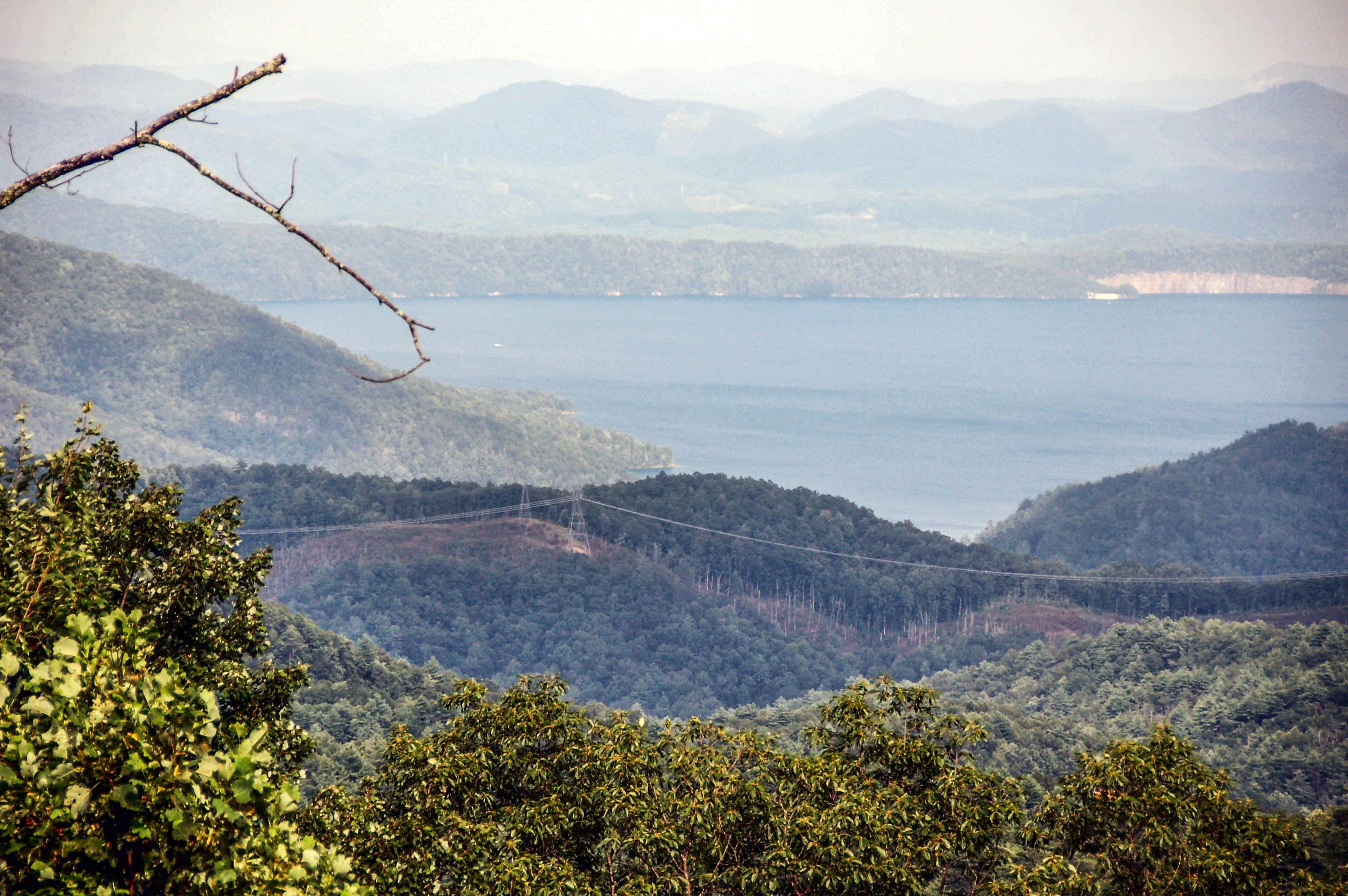
Fence View of South Carolina Mountain Scape

Gentle Light

docked for the night

Miss Sunshine

Bridge over troubled water

Travel into the night

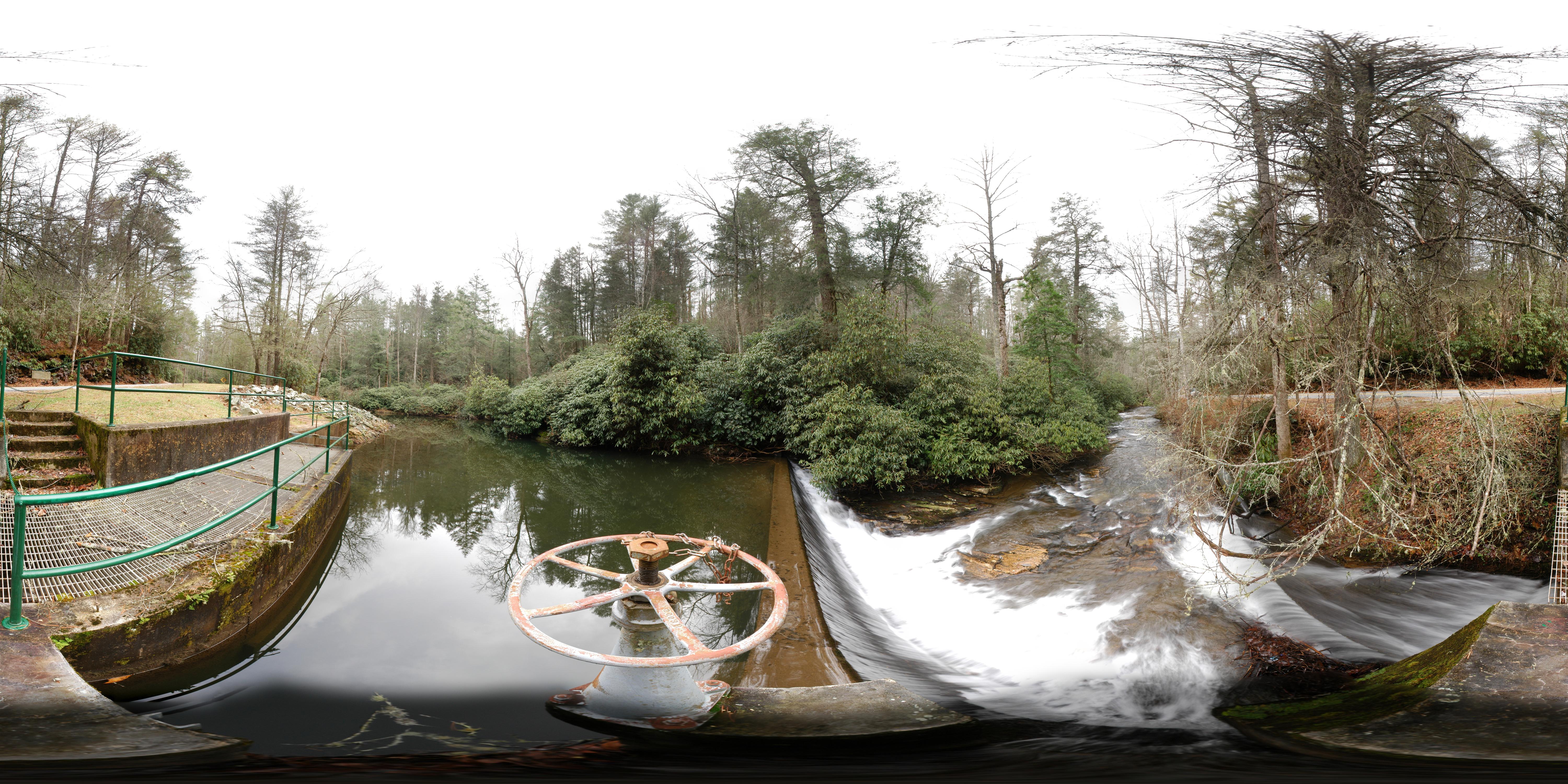
Walhalla State Fish Hatchery - Raceway
DSC_6132-2.jpg
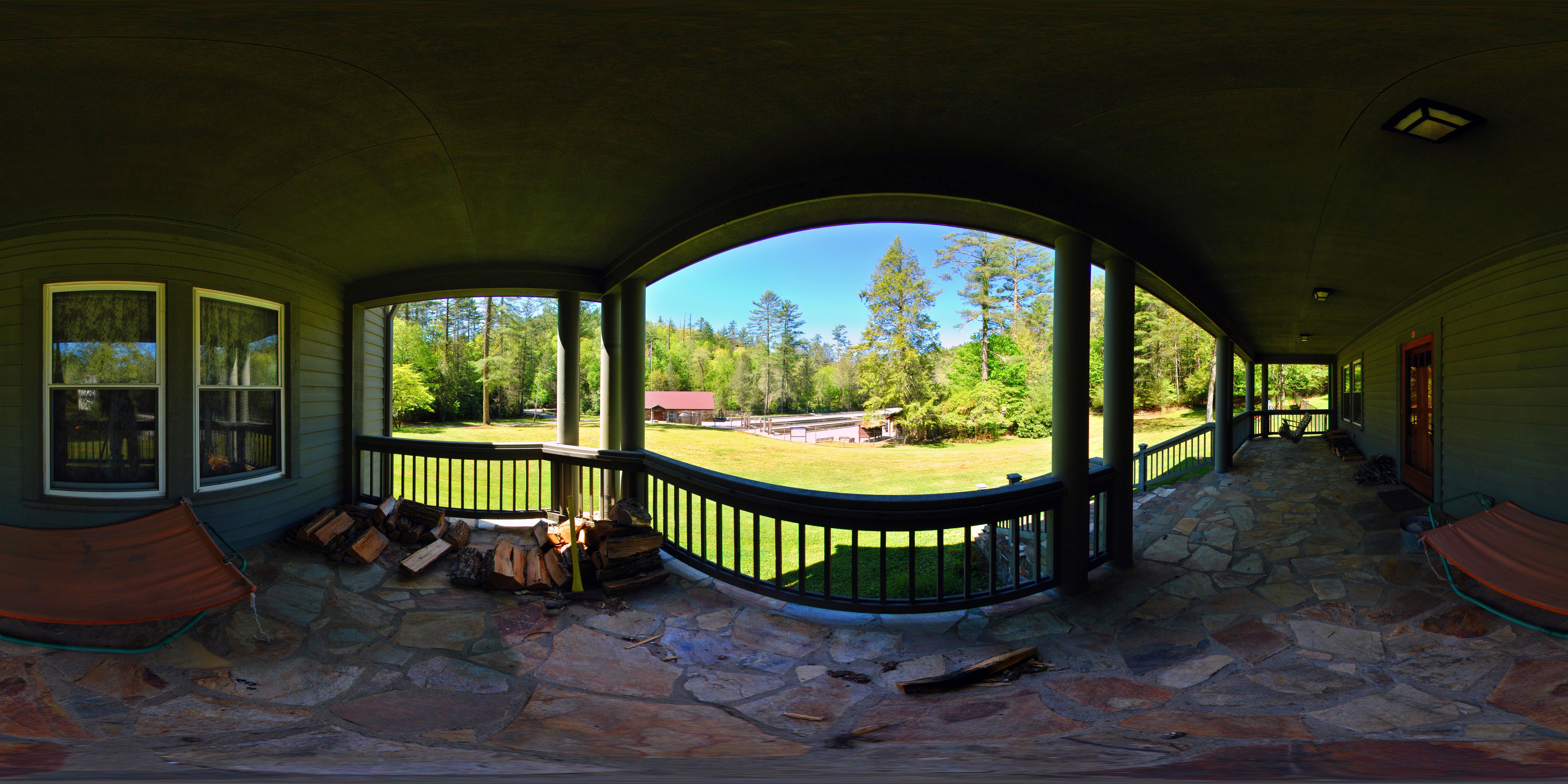
Front Porch
DSC_6131-2.jpg
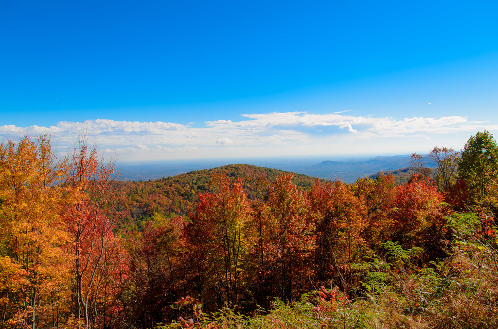
Mountain View

Christmas Day at the Dog Park
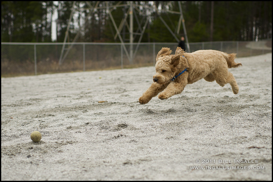
Christmas Day at the Dog Park

Sweet Dreams
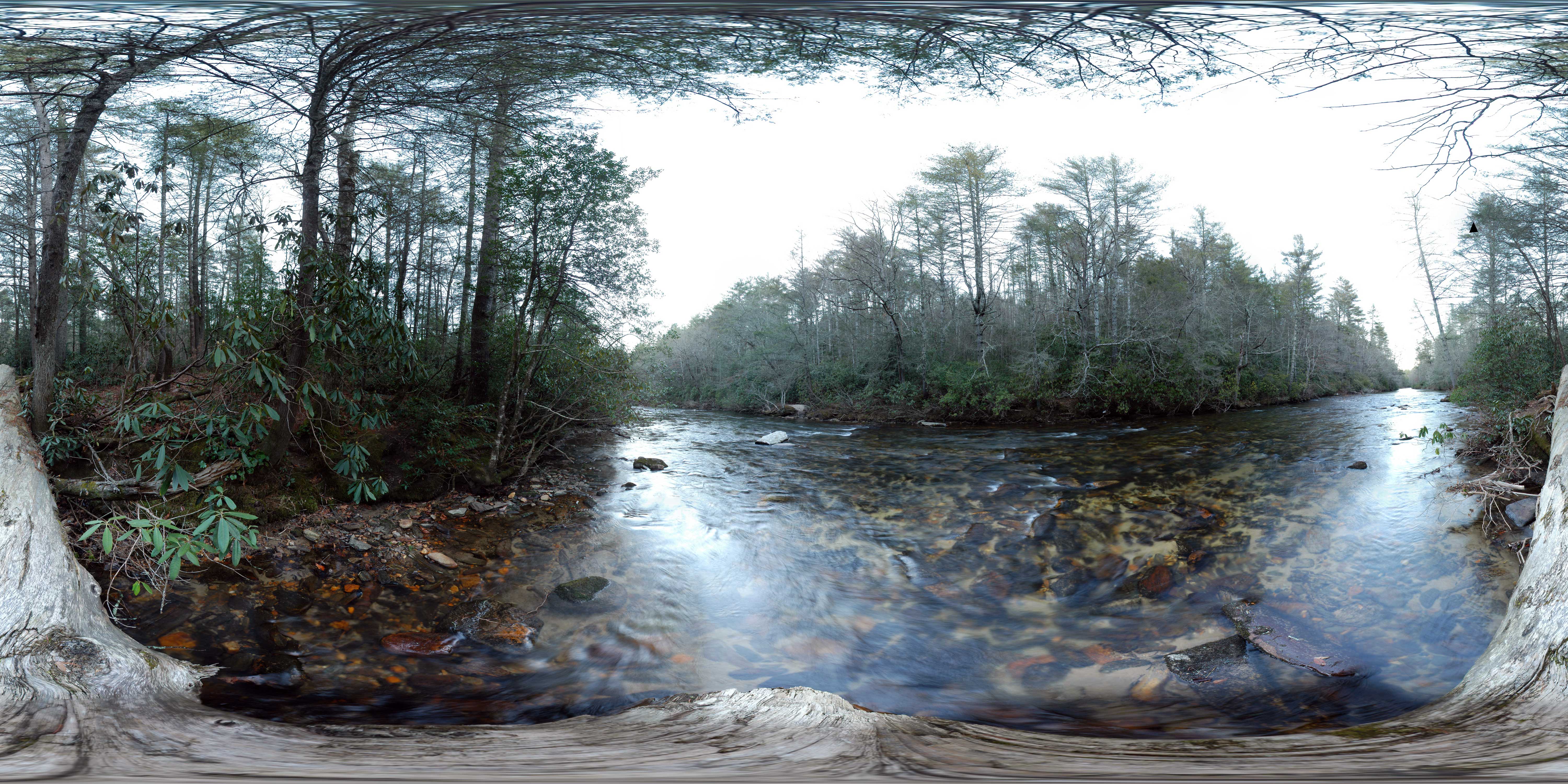
Chattooga River at Burrells Ford
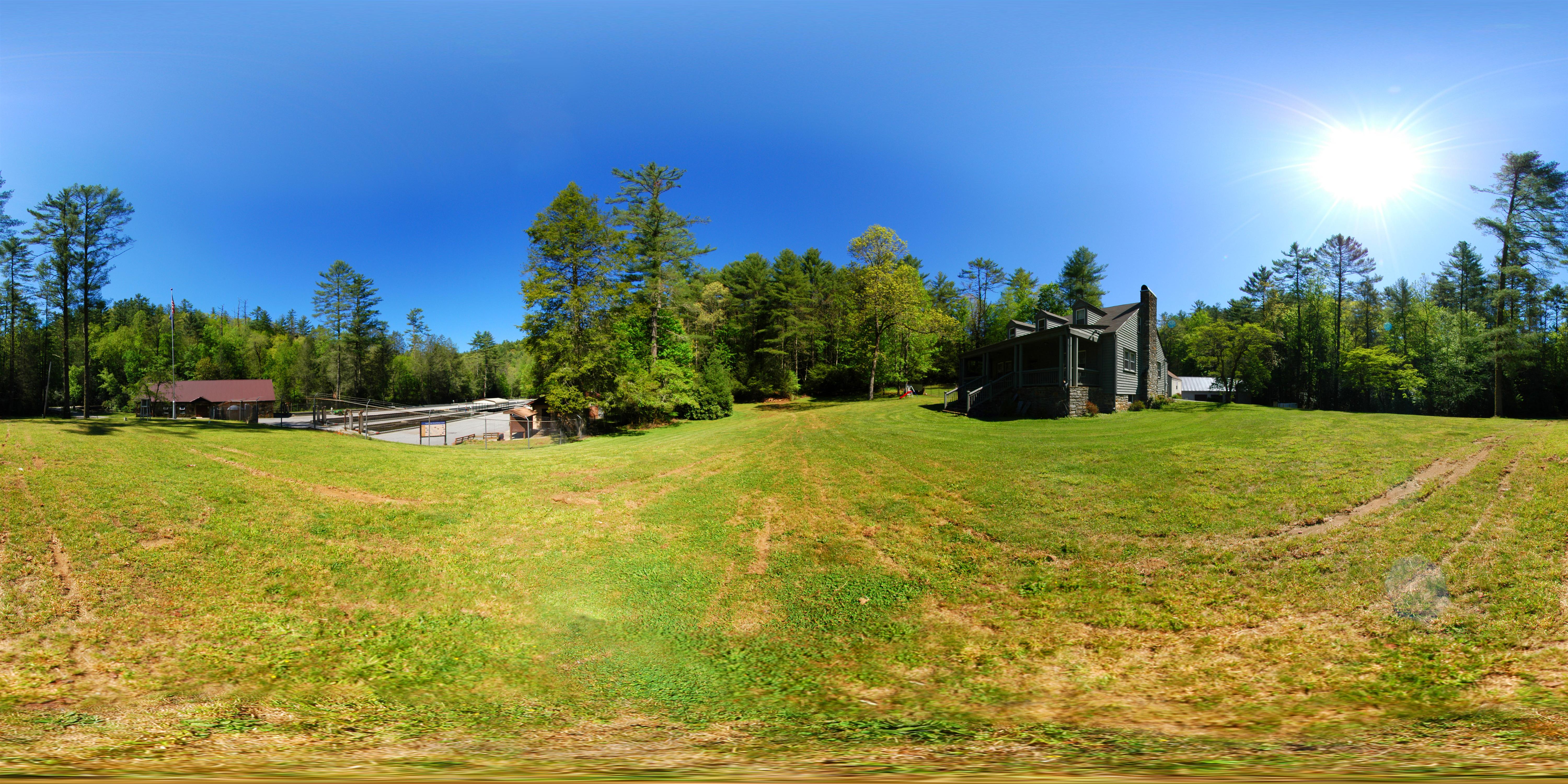
Front Yard (360° panorama)
Wallhalla State Fish Hatchery

Walhalla State Fish Hatchery - Fish House
Station Cove Falls [EXPLORED]
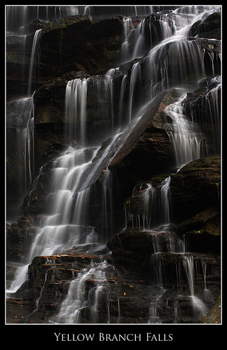
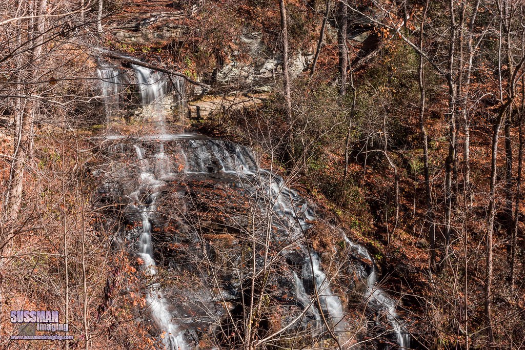
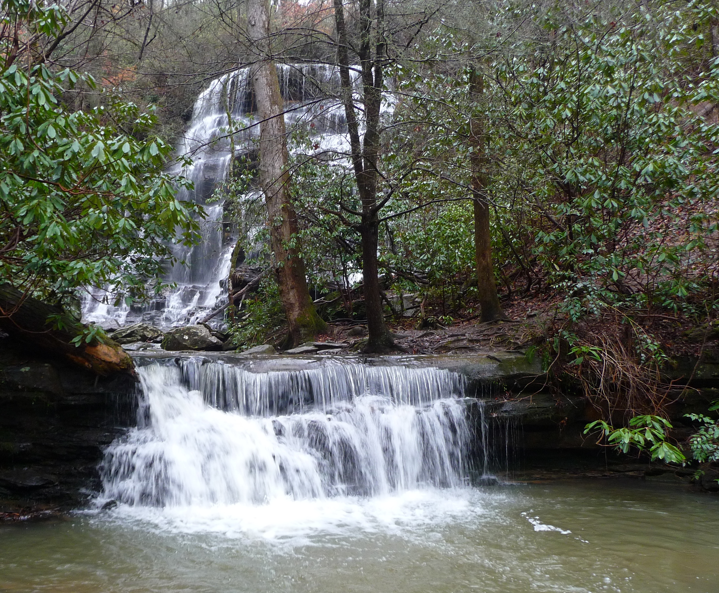
Yellow Branch Falls, Isolation

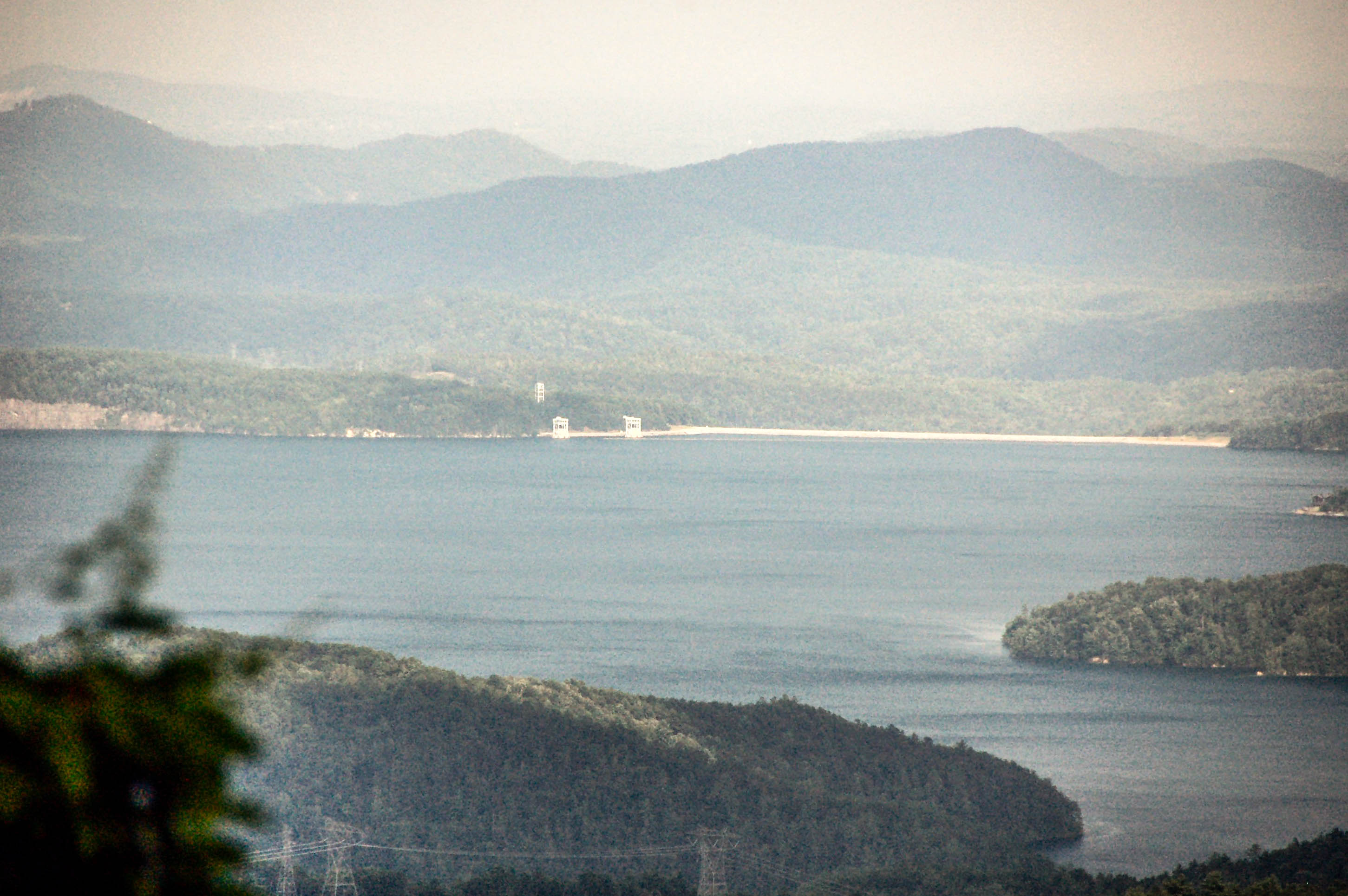
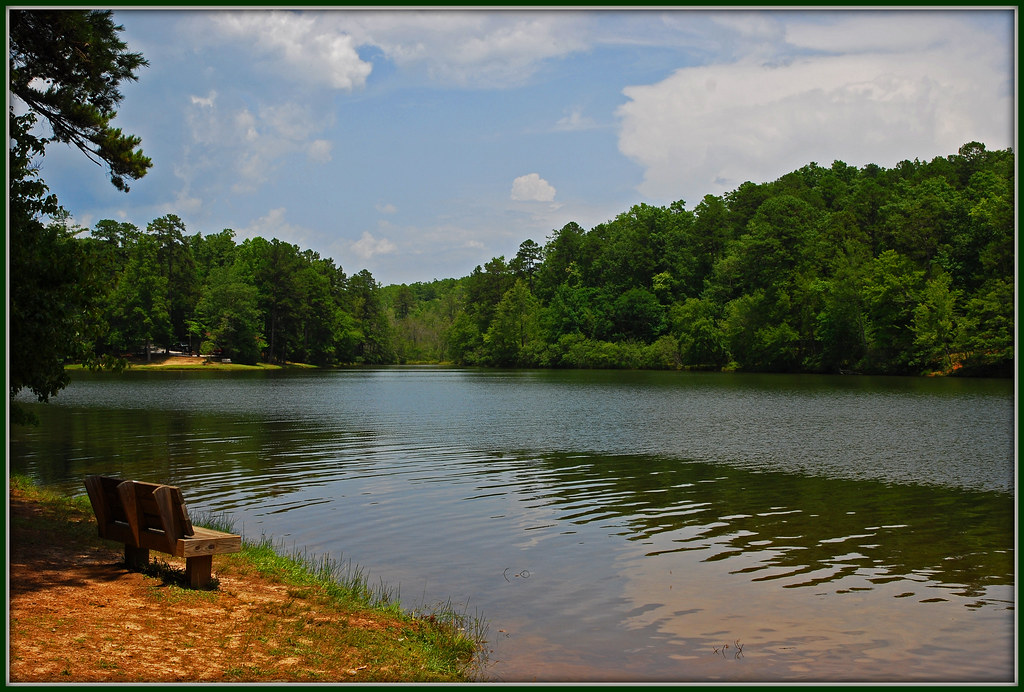
Lake Jocassee
Cabin Lake
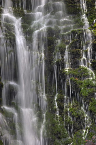
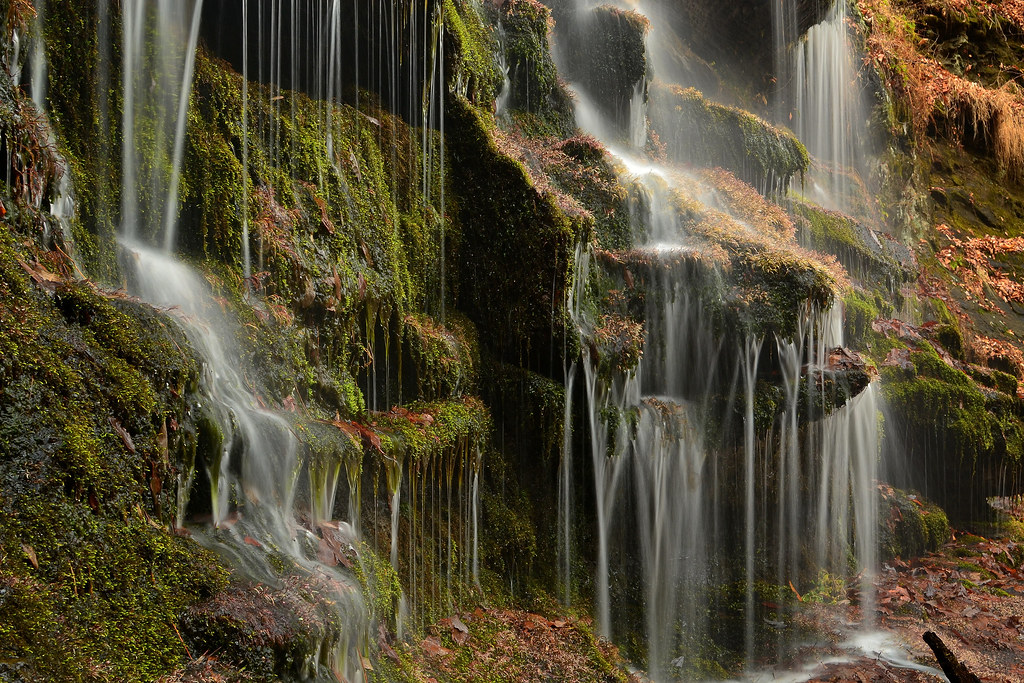
Falling Water and Moss
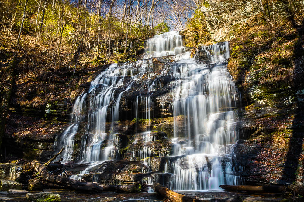
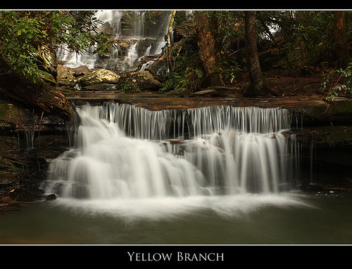
Yellow Branch Falls
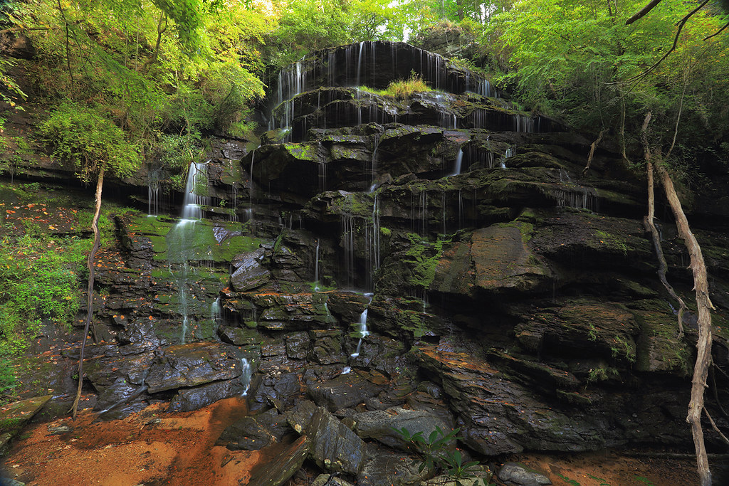
Yellow Branch falls
Cool Retreat
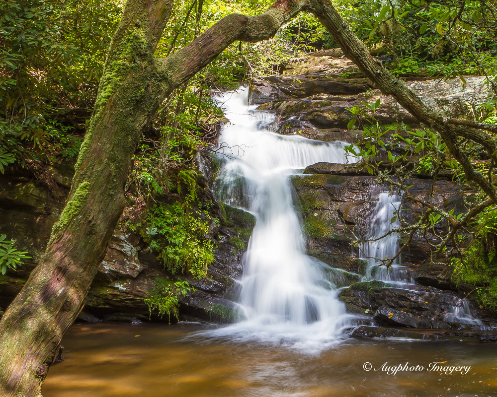
Below Yellow Branch Falls

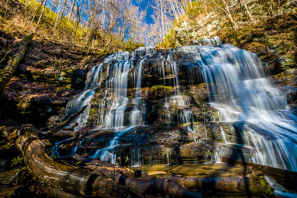
Issaqueena Falls

Pathway Tree
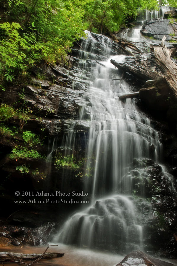
Summer Rains, Water Falls

King Creek Falls closeup
Station Cove Falls 4
Station Cove falls
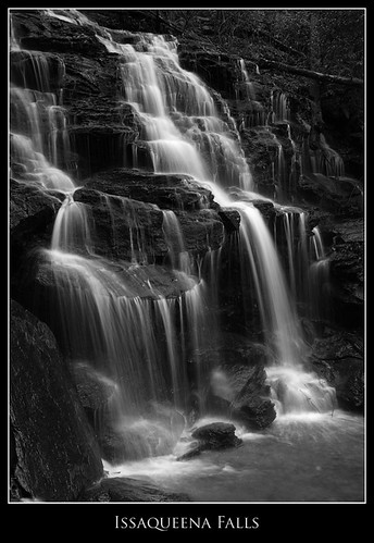
Issaqueena Falls, Black and White
station cove falls
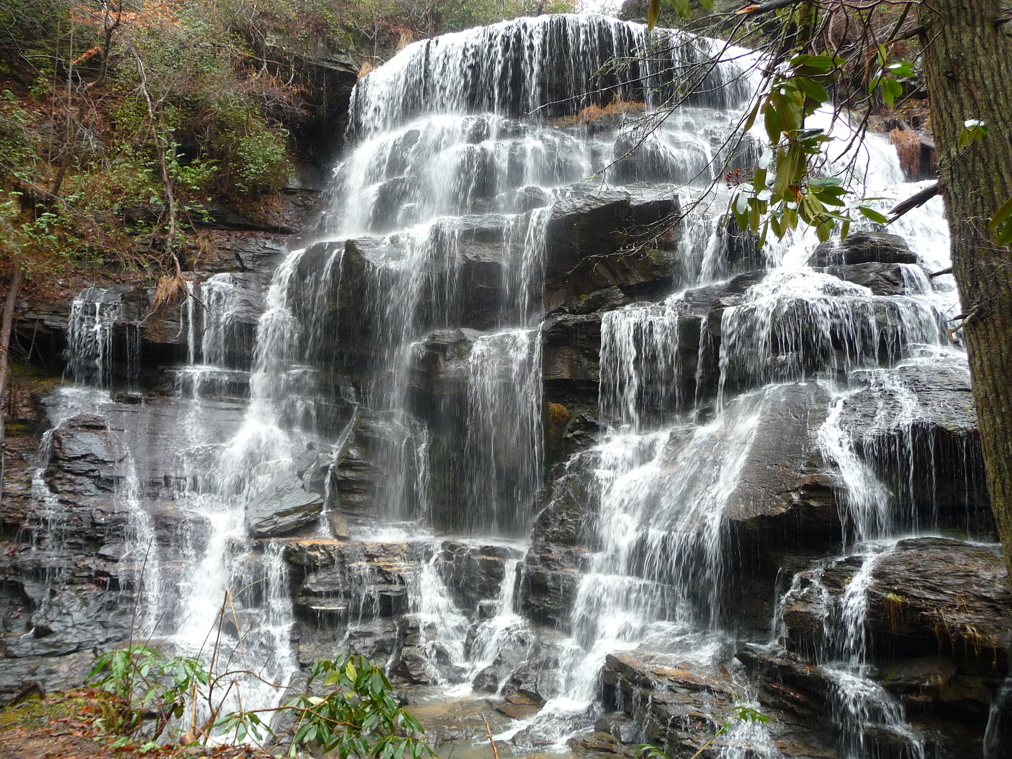
APS Waterfalls-124

Station Cove Falls, Station Creek, Sumter National Forest, Oconee County, South Carolina 1
Yellow Branch Falls
Topographic Map of Tamassee Knob Rd, Tamassee, SC, USA
Find elevation by address:

Places near Tamassee Knob Rd, Tamassee, SC, USA:
325 Dynamite Rd
325 Dynamite Rd
Camp Oak Cir, Walhalla, SC, USA
665 The Bear Blvd
505 Azalea Dr
Tamassee
809 Cherokee Hills Cir
Oconee Station Rd, Walhalla, SC, USA
Oconee State Park Lake Number One
520 Sixteenth Cir
831 Lenore B Ln
Oconee State Park
137 Lakeside Dr
1816 Hastehill Dr
190 Lakeside Dr
Evergreen Dr, Walhalla, SC, USA
120 Bonner Rd
198 Old Turnpike Rd
334 Lake Becky Rd
Village Creek Road
Recent Searches:
- Elevation of Corso Fratelli Cairoli, 35, Macerata MC, Italy
- Elevation of Tallevast Rd, Sarasota, FL, USA
- Elevation of 4th St E, Sonoma, CA, USA
- Elevation of Black Hollow Rd, Pennsdale, PA, USA
- Elevation of Oakland Ave, Williamsport, PA, USA
- Elevation of Pedrógão Grande, Portugal
- Elevation of Klee Dr, Martinsburg, WV, USA
- Elevation of Via Roma, Pieranica CR, Italy
- Elevation of Tavkvetili Mountain, Georgia
- Elevation of Hartfords Bluff Cir, Mt Pleasant, SC, USA